Bull Green

Settlement in Suffolk West Suffolk

England

Bull Green

Bird scarer at Whepstead The scarer is attached to a flexible pole that makes it swoop and dive in the wind emulating a real bird of prey. It is not particularly realistic to human eyes but no doubt petrifies small birds.
Bird scarer at Whepstead Credit: Stephen McKay

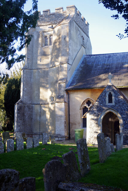
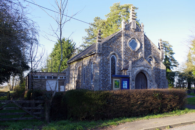
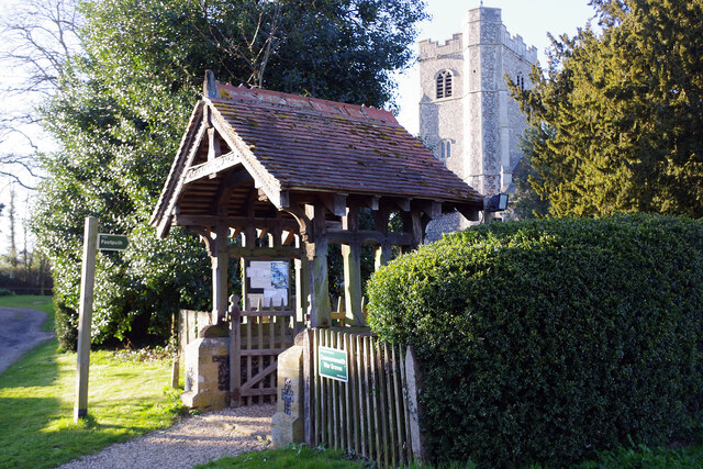
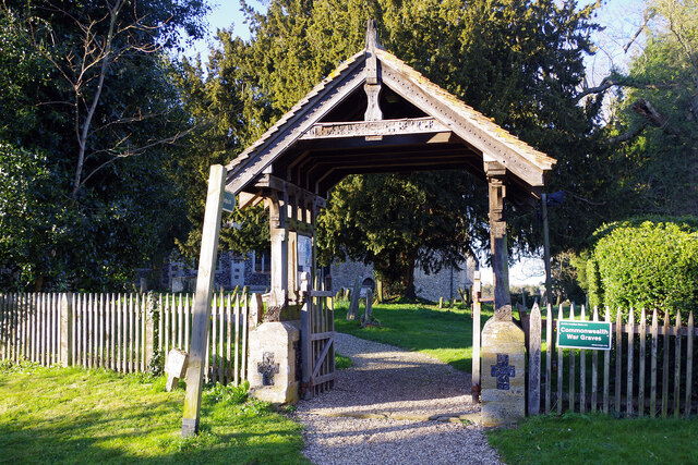
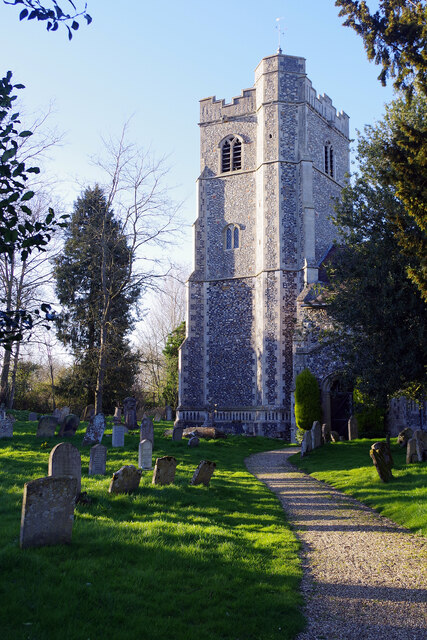
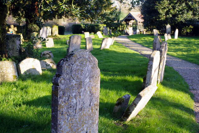
Bull Green is a small village located in the county of Suffolk, England. It is situated near the town of Bury St Edmunds and is surrounded by picturesque countryside. The village is known for its charming traditional cottages, historic churches, and friendly community atmosphere.

Bull Green is home to a few local amenities, including a village hall, a primary school, and a pub. The village hall hosts various events and activities for residents to enjoy, while the local pub serves as a popular gathering spot for socializing and enjoying a pint.

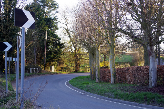
The surrounding countryside offers plenty of opportunities for outdoor activities such as walking, cycling, and horseback riding. The village is also located near several nature reserves and parks, providing ample opportunities for wildlife watching and nature exploration.

Overall, Bull Green is a peaceful and idyllic village that offers a tranquil setting for those looking to escape the hustle and bustle of city life. With its beautiful surroundings and close-knit community, Bull Green is a charming place to call home.

If you have any feedback on the listing, please let us know in the comments section below.
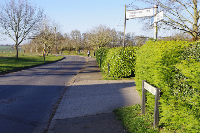
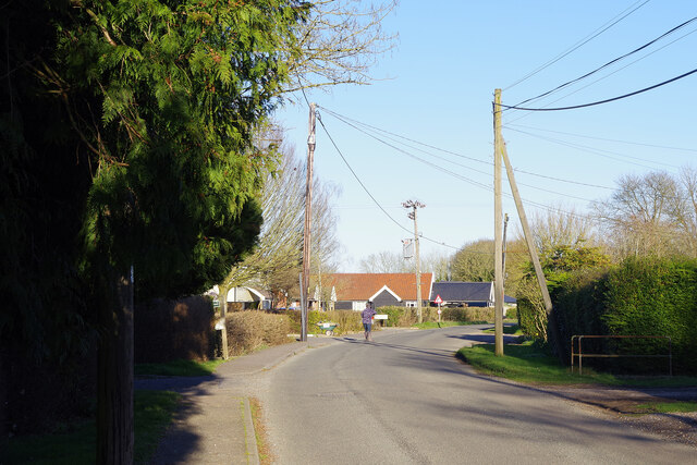
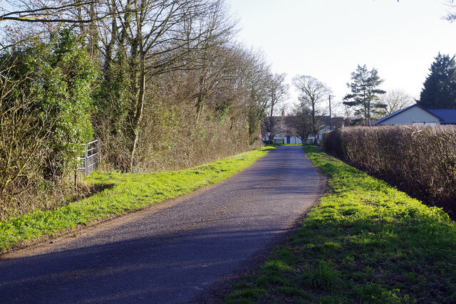
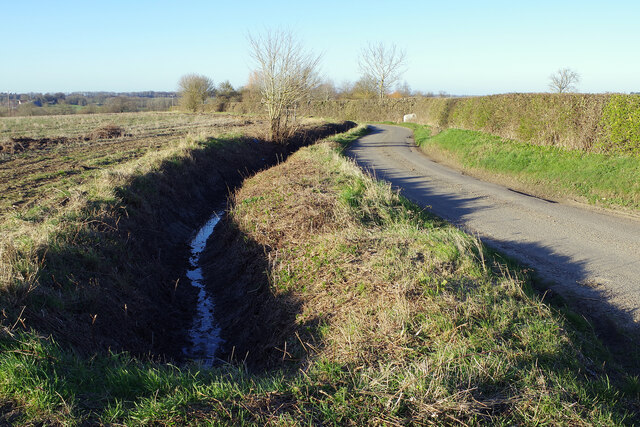
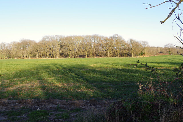
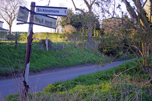
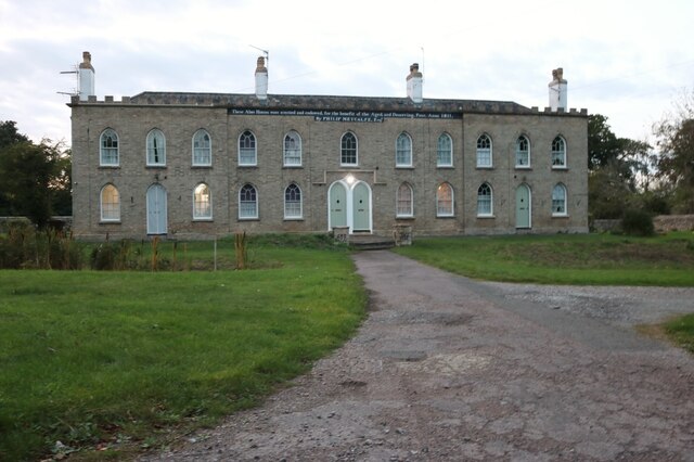
Bull Green Images

Images are sourced within 2km of 52.201942/0.70323943 or Grid Reference TL8459. Thanks to Geograph Open Source API. All images are credited.

Bird scarer at Whepstead The scarer is attached to a flexible pole that makes it swoop and dive in the wind emulating a real bird of prey. It is not particularly realistic to human eyes but no doubt petrifies small birds.
Bird scarer at Whepstead
The scarer is attached to a flexible pole that makes it swoop and dive in the wind emulating a real bird of prey. It is not particularly realistic to human eyes but no doubt petrifies small birds.
Whepstead Churchyard Additional space for the churchyard was found on the opposite side of the road from the church itself in 1930. This view shows part of the area suitably brightened up with clumps of daffodils.
Whepstead Churchyard
Additional space for the churchyard was found on the opposite side of the road from the church itself in 1930. This view shows part of the area suitably brightened up with clumps of daffodils.
Whepstead Church - east window The east window of St Petronilla's church was donated in 1908 in memory of the Revd Thomas Steele by his son. The lower section was added in 1926. The centre light depicts the Virgin and Child with St John the Baptist.
Whepstead Church - east window
The east window of St Petronilla's church was donated in 1908 in memory of the Revd Thomas Steele by his son. The lower section was added in 1926. The centre light depicts the Virgin and Child with St John the Baptist.
Whepstead Church St Petronilla's church is somewhat tucked away down a lane leading off the main road and shrouded in trees. The dedication is unique in England although there is no reference to it before 1883. Little is known about Petronilla but she is thought to have been an early Roman martyr who refused to marry a pagan. There are some Norman remains in the building but more of the work is 13th century and the tower dates from the 14th. It is said that there was once a lead covered spire that blew down in 1658 on the night of Oliver Cromwell's death but there are no contemporary records to confirm this.  There was a restoration in 1869 and a rather more sympathetic one in 1926 when many of the Victorian changes were reversed. The church is now part of the Horringer benefice that also includes the parishes of Brockley and Westley.
Whepstead Church
St Petronilla's church is somewhat tucked away down a lane leading off the main road and shrouded in trees. The dedication is unique in England although there is no reference to it before 1883. Little is known about Petronilla but she is thought to have been an early Roman martyr who refused to marry a pagan. There are some Norman remains in the building but more of the work is 13th century and the tower dates from the 14th. It is said that there was once a lead covered spire that blew down in 1658 on the night of Oliver Cromwell's death but there are no contemporary records to confirm this. There was a restoration in 1869 and a rather more sympathetic one in 1926 when many of the Victorian changes were reversed. The church is now part of the Horringer benefice that also includes the parishes of Brockley and Westley.
Bury Road, Whepstead The B1066 heads north out of Whepstead towards Bury St Edmunds. Church Hill is signposted to the left, leading eventually to Chedburgh 2½ miles distant; the church itself has no distance given but is in fact only about 100 metres away.
Bury Road, Whepstead
The B1066 heads north out of Whepstead towards Bury St Edmunds. Church Hill is signposted to the left, leading eventually to Chedburgh 2½ miles distant; the church itself has no distance given but is in fact only about 100 metres away.
Whepstead Baptist Church Located on Rectory Road in Mickley Green, within Whepstead parish but some distance from the Anglican parish church, this chapel was built in 1844. It was recorded in the 1851 Census of Religious Worship that the Sunday congregation was 155 (attending three services) which compares with 310 attending the parish church. At the time the village population was 652; it is hard to imagine such figures now. The building is grade II listed.
Whepstead Baptist Church
Located on Rectory Road in Mickley Green, within Whepstead parish but some distance from the Anglican parish church, this chapel was built in 1844. It was recorded in the 1851 Census of Religious Worship that the Sunday congregation was 155 (attending three services) which compares with 310 attending the parish church. At the time the village population was 652; it is hard to imagine such figures now. The building is grade II listed.
Rectory Road, Mickley Green Mickley Green is a hamlet within the parish of Whepstead. This is the view along Rectory Road from outside the Baptist church. The plethora of overhead cables is somewhat unsightly.
Rectory Road, Mickley Green
Mickley Green is a hamlet within the parish of Whepstead. This is the view along Rectory Road from outside the Baptist church. The plethora of overhead cables is somewhat unsightly.
Bull Lane, Mickley Green Looking towards Mickley Green on the road from Pinford End.
Bull Lane, Mickley Green
Looking towards Mickley Green on the road from Pinford End.
Bull Lane Bull lane leads from Mickley Green towards Pinford End. Note the very deep ditch that runs alongside.
Bull Lane
Bull lane leads from Mickley Green towards Pinford End. Note the very deep ditch that runs alongside.
Coronation Wood Looking across farmland to Coronation Wood from Bull Lane in the countryside between Whepstead and Hawstead.
Coronation Wood
Looking across farmland to Coronation Wood from Bull Lane in the countryside between Whepstead and Hawstead.
Hawstead Church - lych gate and tower The attractive lych gate was erected in 1903; behind that the 63 feet tower of All Saints' church was completed in 1510.
Hawstead Church - lych gate and tower
The attractive lych gate was erected in 1903; behind that the 63 feet tower of All Saints' church was completed in 1510.
Hawstead Church - lych gate The lych gate leading to All Saints' Church dates from 1903. Note the sign that tells us there are Commonwealth war graves at this location.
Hawstead Church - lych gate
The lych gate leading to All Saints' Church dates from 1903. Note the sign that tells us there are Commonwealth war graves at this location.
Hawstead Church There has been a church on this site certainly since Norman times and possibly before that. The present building, however, dates only from the 16th century and was restored in 1857. The dedication is to All Saints. The tower, completed in 1510, is 63 feet high. The building is grade I listed.
Hawstead Church
There has been a church on this site certainly since Norman times and possibly before that. The present building, however, dates only from the 16th century and was restored in 1857. The dedication is to All Saints. The tower, completed in 1510, is 63 feet high. The building is grade I listed.
Hawstead church - porch window It is fairly unusual for a church porch to have windows like this but here there are two facing each other displaying the armorial shields of local families.
Hawstead church - porch window
It is fairly unusual for a church porch to have windows like this but here there are two facing each other displaying the armorial shields of local families.
Hawstead Churchyard The illegible gravestone in the foreground is close to the south door of All Saints' church; the adjacent path leads down to the lych gate.
Hawstead Churchyard
The illegible gravestone in the foreground is close to the south door of All Saints' church; the adjacent path leads down to the lych gate.
Bury Lane, near Hawstead Hall This view is looking towards Hawstead village where motorists are clearly warned about the sharp bend in the road.
Bury Lane, near Hawstead Hall
This view is looking towards Hawstead village where motorists are clearly warned about the sharp bend in the road.
Signpost by Hawstead Hall The signpost looks to have seen better days as it leans drunkenly at the junction of Bury Road and Hawstead Lane opposite the entrance to Hawstead Hall.
Signpost by Hawstead Hall
The signpost looks to have seen better days as it leans drunkenly at the junction of Bury Road and Hawstead Lane opposite the entrance to Hawstead Hall.
Metcalfe Almshouses, Hawstead Built in 1881 and a registered charity.
Metcalfe Almshouses, Hawstead
Built in 1881 and a registered charity.
Show me another place!

Bull Green is located at Grid Ref: TL8459 (Lat: 52.201942, Lng: 0.70323943)

Administrative County: Suffolk

District: West Suffolk

Police Authority: Suffolk

What 3 Words

///cone.novels.beamed. Near Bury St Edmunds, Suffolk

Nearby Locations

Bull Green Pinford End

Related Wikis

Hawstead

Hawstead is a small village and civil parish in the West Suffolk district of Suffolk in eastern England. It is located 5 kilometres (3 mi) south of Bury...

Mickley Green

Mickley Green is a hamlet in Suffolk, United Kingdom to the east of the village of Whepstead on the road to Melon Green.

Whepstead

Whepstead is a village and civil parish in the West Suffolk district of Suffolk in eastern England, located south of Bury St Edmunds. Once the property...

Nowton

Nowton is a small village and civil parish in the West Suffolk district of Suffolk in eastern England. Located on the southern edge of Bury St Edmunds...

Nearby Amenities

Located within 500m of 52.201942,0.70323943
Bus Stop
Bull Lane
Naptan AtcoCode: 390050748
Naptan Bearing: NW
Naptan BusStopType: CUS
Naptan CommonName: Bull Lane
Naptan Indicator: adj
Naptan Landmark: Bull Lane
Naptan NaptanCode: sufgjpgt
Naptan Street: Church Road
Naptan Verified: no
Source: naptan_import
Lat/Long: 52.2036261/0.7046024
Bus Stop
Bull Lane
Naptan AtcoCode: 390050749
Naptan Bearing: SE
Naptan BusStopType: CUS
Naptan CommonName: Bull Lane
Naptan Indicator: opp
Naptan Landmark: Bull Lane
Naptan NaptanCode: sufgjpgw
Naptan Street: Church Road
Naptan Verified: no
Source: naptan_import
Lat/Long: 52.2035945/0.704686
Power: pole
Lat/Long: 52.2041204/0.7023499
Power: pole
Lat/Long: 52.2043127/0.7034228
Power: pole
Lat/Long: 52.204579/0.7079638
Power: pole
Lat/Long: 52.2044853/0.7063116
Pinford End
Place: hamlet
Lat/Long: 52.2033474/0.7035588
Post Box
Post Box Type: wall
Ref: IP29 2056
Royal Cypher: GVIR
Royal Cypher Wikidata: Q33102169
Lat/Long: 52.2034955/0.7051108
Defibrillator
Booth: K6
Covered: booth
Defibrillator Location: In the redundant telephone kiosk. Bull Lane, 200 yards south west of junction with Church Road.
Emergency: defibrillator
Indoor: no
Man Made: telephone_box
Operator: Community Health Trust
Ref: CHT-RT-1507
Lat/Long: 52.202028/0.7031685
The data included in this document is from www.openstreetmap.org. The data is made available under ODbL.

Have you been to Bull Green?

Leave your review of Bull Green below (or comments, questions and feedback).