Bull Farm
Settlement in Nottinghamshire Mansfield
England
Bull Farm
Bull Farm is a residential area located in the county of Nottinghamshire, England. Situated in the borough of Mansfield, it is part of the wider urban area of Mansfield and is approximately two miles south of the town center.
The area is predominantly made up of housing estates, with a mix of both private and council homes. It is a popular choice for families and young professionals due to its affordable housing options and convenient location.
Bull Farm benefits from excellent transport links, with easy access to the A38 and A617 roads, allowing for convenient travel to nearby towns and cities such as Nottingham and Derby. The area is also served by several bus routes, providing further connectivity to the wider region.
Local amenities are readily available, including shops, supermarkets, and schools, making it a self-sufficient area for residents. The nearby Mansfield town center offers a wider range of shopping and leisure facilities, including a cinema, restaurants, and a theater.
For outdoor enthusiasts, Bull Farm is within close proximity to several green spaces, such as Titchfield Park and Berry Hill Park, providing opportunities for recreation and leisure activities.
Overall, Bull Farm is a well-connected residential area with a range of amenities, making it an attractive location for individuals and families looking for affordable housing in Nottinghamshire.
If you have any feedback on the listing, please let us know in the comments section below.
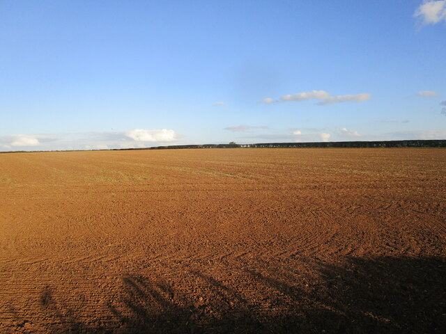
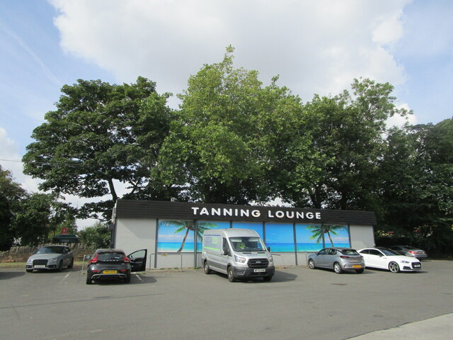
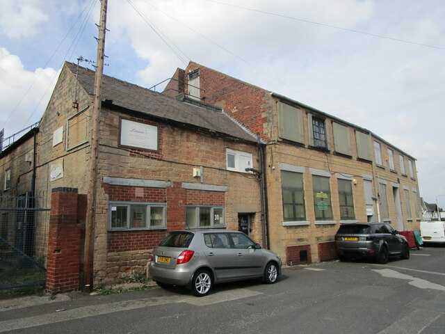
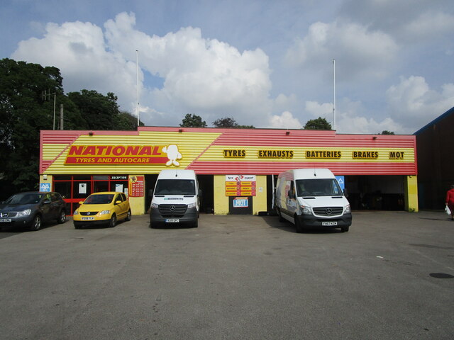
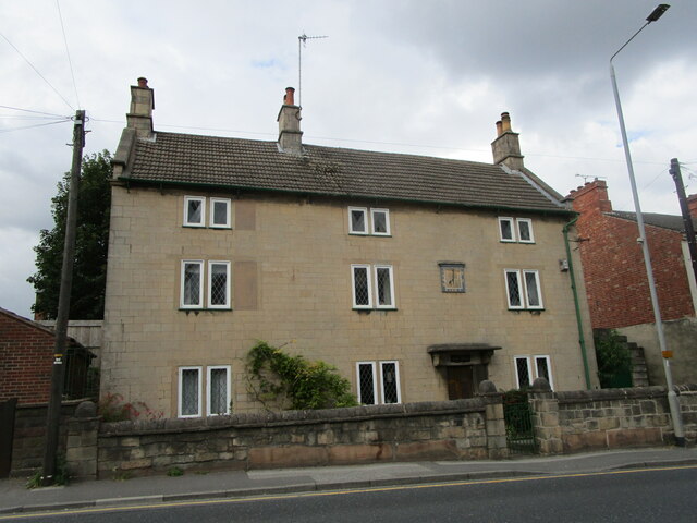
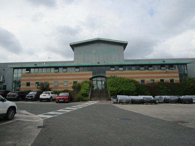
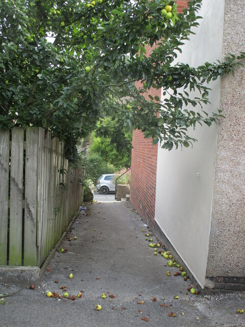
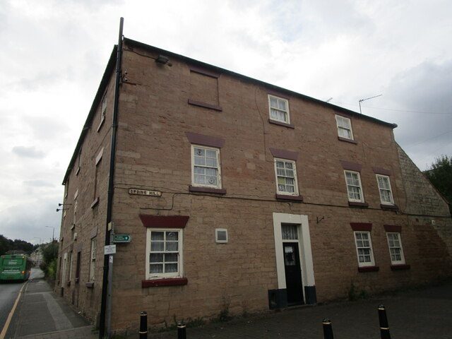
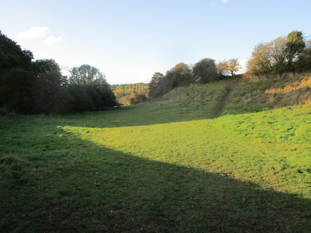
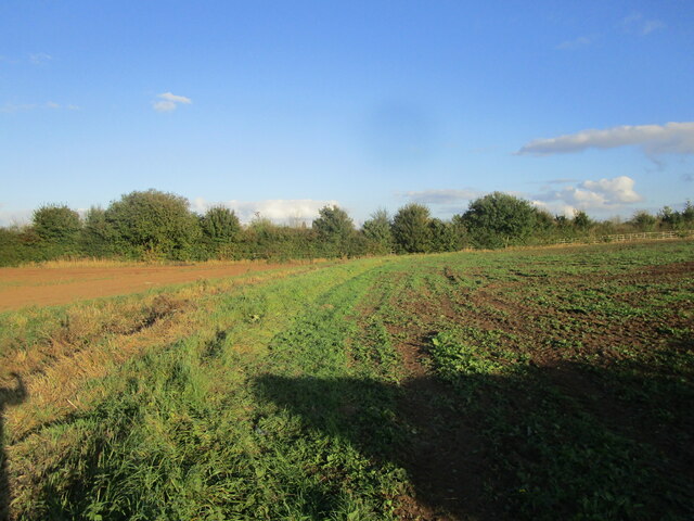
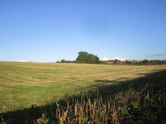
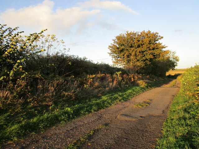
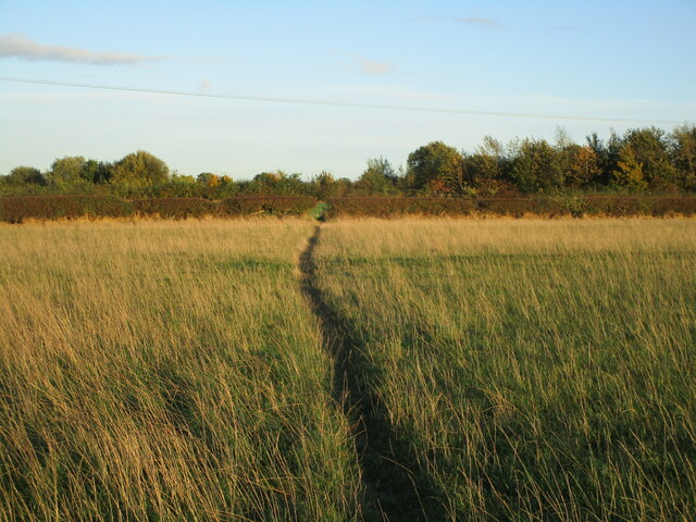
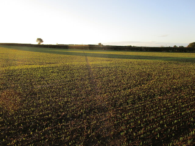
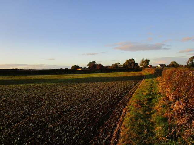
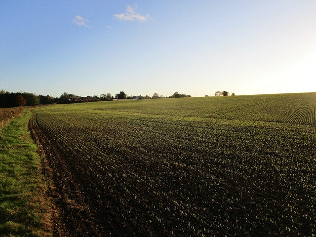
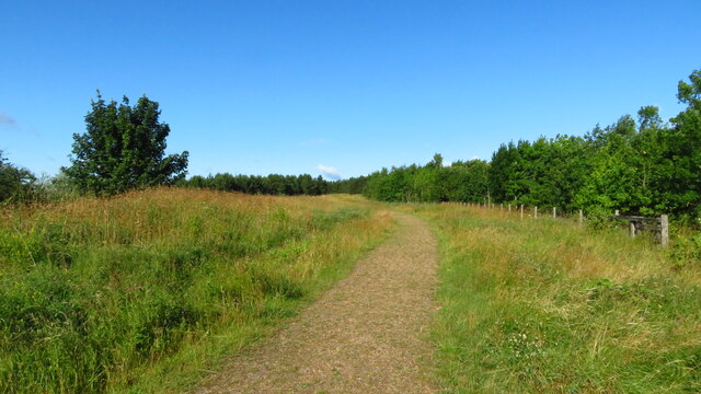
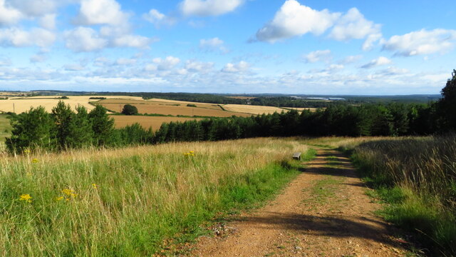
Bull Farm Images
Images are sourced within 2km of 53.158798/-1.2264941 or Grid Reference SK5162. Thanks to Geograph Open Source API. All images are credited.
Bull Farm is located at Grid Ref: SK5162 (Lat: 53.158798, Lng: -1.2264941)
Administrative County: Nottinghamshire
District: Mansfield
Police Authority: Nottinghamshire
What 3 Words
///lush.train.larger. Near Mansfield Woodhouse, Nottinghamshire
Nearby Locations
Related Wikis

All Saints' Catholic Academy
All Saints' Catholic Academy (formerly All Saints RC School) is a Roman Catholic secondary school in Mansfield, Nottinghamshire, England. It is the only...
Sherwood Colliery F.C.
Sherwood Colliery F.C. is an English football club based in Mansfield Woodhouse, Nottinghamshire. They are currently members of the United Counties League...
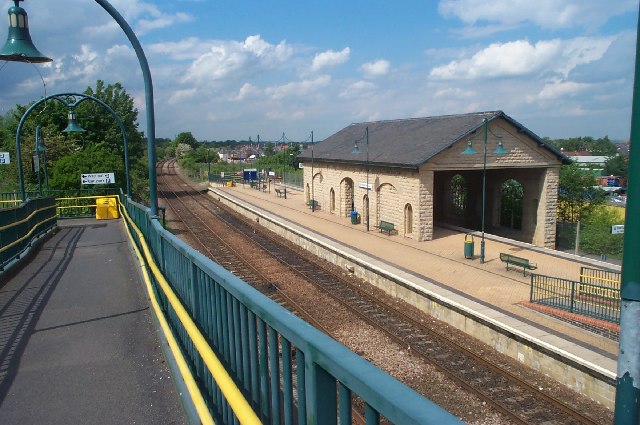
Mansfield Woodhouse railway station
Mansfield Woodhouse railway station serves the settlement of Mansfield Woodhouse, which adjoins the town of Mansfield, both located in Nottinghamshire...

Mansfield District
Mansfield District is a local government district in Nottinghamshire, England. It is named after the town of Mansfield, where the council is based. The...
Nearby Amenities
Located within 500m of 53.158798,-1.2264941Have you been to Bull Farm?
Leave your review of Bull Farm below (or comments, questions and feedback).