Brookend

Settlement in Essex Uttlesford

England

Brookend

Cycling on Essex lanes On the route from Little Easton to Great Easton.
Cycling on Essex lanes Credit: Robin Webster

Brookend is a small village located in the county of Essex, England. Situated in the Tendring district, it is nestled in the picturesque countryside and offers a tranquil and idyllic setting for its residents. With a population of around 500 people, Brookend maintains a strong sense of community and a close-knit atmosphere.

The village is known for its charming traditional cottages and beautiful gardens, which give it a distinctly English countryside feel. The surrounding area is primarily agricultural, with vast fields and farmland stretching out into the distance. This provides a scenic backdrop and contributes to the village's peaceful ambiance.

Despite its rural location, Brookend is conveniently situated near major transport links. The A120 road runs nearby, connecting the village to nearby towns such as Harwich and Colchester. Additionally, the nearby Manningtree railway station offers regular train services to London and other destinations, making it an attractive location for commuters.

Local amenities in Brookend are limited, with the nearest shops and services found in nearby villages and towns. However, this adds to the village's charm, as it remains relatively untouched by urban development. Residents can enjoy the tranquility of the countryside while still having easy access to essential facilities.

In summary, Brookend is a small village in Essex that offers a peaceful and rural environment for its residents. With its picturesque setting and strong sense of community, it is an ideal place for those seeking a quiet and idyllic lifestyle.

If you have any feedback on the listing, please let us know in the comments section below.

Brookend Images

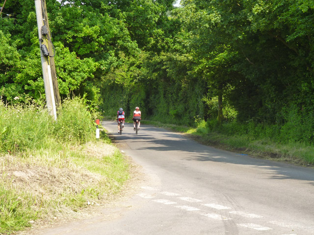
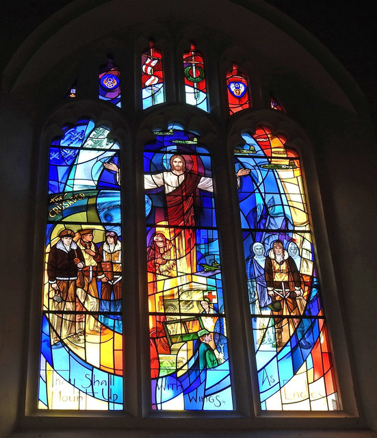
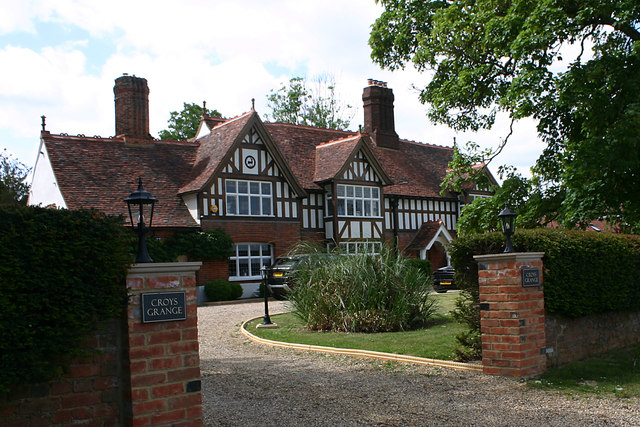
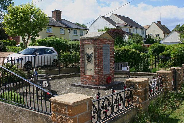
Images are sourced within 2km of 51.891722/0.31203002 or Grid Reference TL5923. Thanks to Geograph Open Source API. All images are credited.

Cycling on Essex lanes On the route from Little Easton to Great Easton.
Cycling on Essex lanes
On the route from Little Easton to Great Easton.
Church Row, Little Easton Grade II listed former almshouses, built 1895. The date and a 'W' are placed centrally. The 'W' perhaps stands for Warwick, as apparently Frances, the Countess of Warwick, had them built.
Church Row, Little Easton
Grade II listed former almshouses, built 1895. The date and a 'W' are placed centrally. The 'W' perhaps stands for Warwick, as apparently Frances, the Countess of Warwick, had them built.
Quarry area on site of RAF Great Dunmow 'Quarry' was what the warning notice called it, but there is little sign here apart from the wide and shallow trench between earth banks. In the distance beyond the dead tree are more quarry-like features.
Quarry area on site of RAF Great Dunmow
'Quarry' was what the warning notice called it, but there is little sign here apart from the wide and shallow trench between earth banks. In the distance beyond the dead tree are more quarry-like features.
The Crusaders Window at Little Easton During World War II the American 386th Bomb Group, known as The Crusaders, "mounted up with wings as eagles" flying some 263 missions from nearby Easton Lodge airfield against Nazi targets in Europe. Nearly 200 Crusaders were lost to enemy action and many more were wounded or taken prisoner. This "Window Of The Crusaders" depicts some of the daily activities of the men of the 386th Bomb Group during the thirteen months they were stationed near this church at Little Easton near RAF Great Dunmow.
The Crusaders Window at Little Easton
During World War II the American 386th Bomb Group, known as The Crusaders, "mounted up with wings as eagles" flying some 263 missions from nearby Easton Lodge airfield against Nazi targets in Europe. Nearly 200 Crusaders were lost to enemy action and many more were wounded or taken prisoner. This "Window Of The Crusaders" depicts some of the daily activities of the men of the 386th Bomb Group during the thirteen months they were stationed near this church at Little Easton near RAF Great Dunmow.
The Window of Friendship and Peace, Little Easton During World War II, in September of 1943, the United States Air Force's 386th Bomb Group, "The Crusaders", arrived with their B-26 Marauder aircraft at a newly constructed airfield on the grounds of Easton Lodge, just a few hundred yards from this church. This "Window of Friendship and Peace" recalls in vignettes and symbols the special relationship of mutual support, friendship, and lasting respect that developed between the American airmen and the people of the villages of Little Easton and Great Dunmow during the thirteen months the Crusaders flew missions from the airfield.
The Window of Friendship and Peace, Little Easton
During World War II, in September of 1943, the United States Air Force's 386th Bomb Group, "The Crusaders", arrived with their B-26 Marauder aircraft at a newly constructed airfield on the grounds of Easton Lodge, just a few hundred yards from this church. This "Window of Friendship and Peace" recalls in vignettes and symbols the special relationship of mutual support, friendship, and lasting respect that developed between the American airmen and the people of the villages of Little Easton and Great Dunmow during the thirteen months the Crusaders flew missions from the airfield.
St. Mary's church, Little Easton <a title="https://www.geograph.org.uk/photo/6336164" href="https://www.geograph.org.uk/photo/6336164">Link</a> <a title="https://www.geograph.org.uk/photo/6336166" href="https://www.geograph.org.uk/photo/6336166">Link</a>
St. Mary's church, Little Easton
Croys Grange, Great Easton The house is described in Pevsner's guide as "late C16 but remodelled with mid-C19 gables, porch, false exposed timber framing, and the Maynard badge". The latter is the badge of the Maynard family who had large landholdings in the area and is still to be seen on many local buildings.
Croys Grange, Great Easton
The house is described in Pevsner's guide as "late C16 but remodelled with mid-C19 gables, porch, false exposed timber framing, and the Maynard badge". The latter is the badge of the Maynard family who had large landholdings in the area and is still to be seen on many local buildings.
Footpath north of Great Easton The footpath runs towards Tilty and Duton Hill through the valley of the River Chelmer.
Footpath north of Great Easton
The footpath runs towards Tilty and Duton Hill through the valley of the River Chelmer.
'The Stag', Duck Street, Little Easton The outward appearance of this public house has changed somewhat since the last time it was geographed <a href="https://www.geograph.org.uk/photo/192492">TL6024 : 'The Stag' public house, Little Easton, Essex</a>.
'The Stag', Duck Street, Little Easton
The outward appearance of this public house has changed somewhat since the last time it was geographed TL6024 : 'The Stag' public house, Little Easton, Essex.
War Memorial, Duck Street, Little Easton This simple memorial is to those who fell in both World Wars.
War Memorial, Duck Street, Little Easton
This simple memorial is to those who fell in both World Wars.
Houses in Duck Street, Little Easton The insignia on the gable of the first house is that of a stag and can be seen on many buildings in the area.
Houses in Duck Street, Little Easton
The insignia on the gable of the first house is that of a stag and can be seen on many buildings in the area.
Great Easton The village of Great Easton looking west from the green.  Housing is a mixture of timbered and stone.
Great Easton
The village of Great Easton looking west from the green. Housing is a mixture of timbered and stone.
Great Easton Houses beside the village green looking up towards the Church of St John & St Giles.
Great Easton
Houses beside the village green looking up towards the Church of St John & St Giles.
St. Mary's church, Little Easton, Essex Although this church dates back to Norman times, it is mainly 15th century with a 19th century north vestry. Inside, there is plenty for the visitor to see, which includes wall paintings, fine monuments and tombs, plus 17th century German stained glass. On the south side of the chancel is the Maynard chapel, which is dedicated to Lord Maynard and his family.
St. Mary's church, Little Easton, Essex
Although this church dates back to Norman times, it is mainly 15th century with a 19th century north vestry. Inside, there is plenty for the visitor to see, which includes wall paintings, fine monuments and tombs, plus 17th century German stained glass. On the south side of the chancel is the Maynard chapel, which is dedicated to Lord Maynard and his family.
Village Sign, Little Easton, Essex
Footbridge at Great Easton, Essex This is by the road into the village from the west.
Footbridge at Great Easton, Essex
This is by the road into the village from the west.
'The Stag' public house, Little Easton, Essex
St Mary, Little Easton, Essex
Show me another place!

Brookend is located at Grid Ref: TL5923 (Lat: 51.891722, Lng: 0.31203002)

Administrative County: Essex

District: Uttlesford

Police Authority: Essex

What 3 Words

///reminds.digitally.caused. Near Takeley, Essex

Nearby Locations

Brookend

Related Wikis

Easton Lodge

Easton Lodge was a Victorian Gothic style stately home in Little Easton and north-west of Great Dunmow, Essex, England. Once famous for its weekend society...
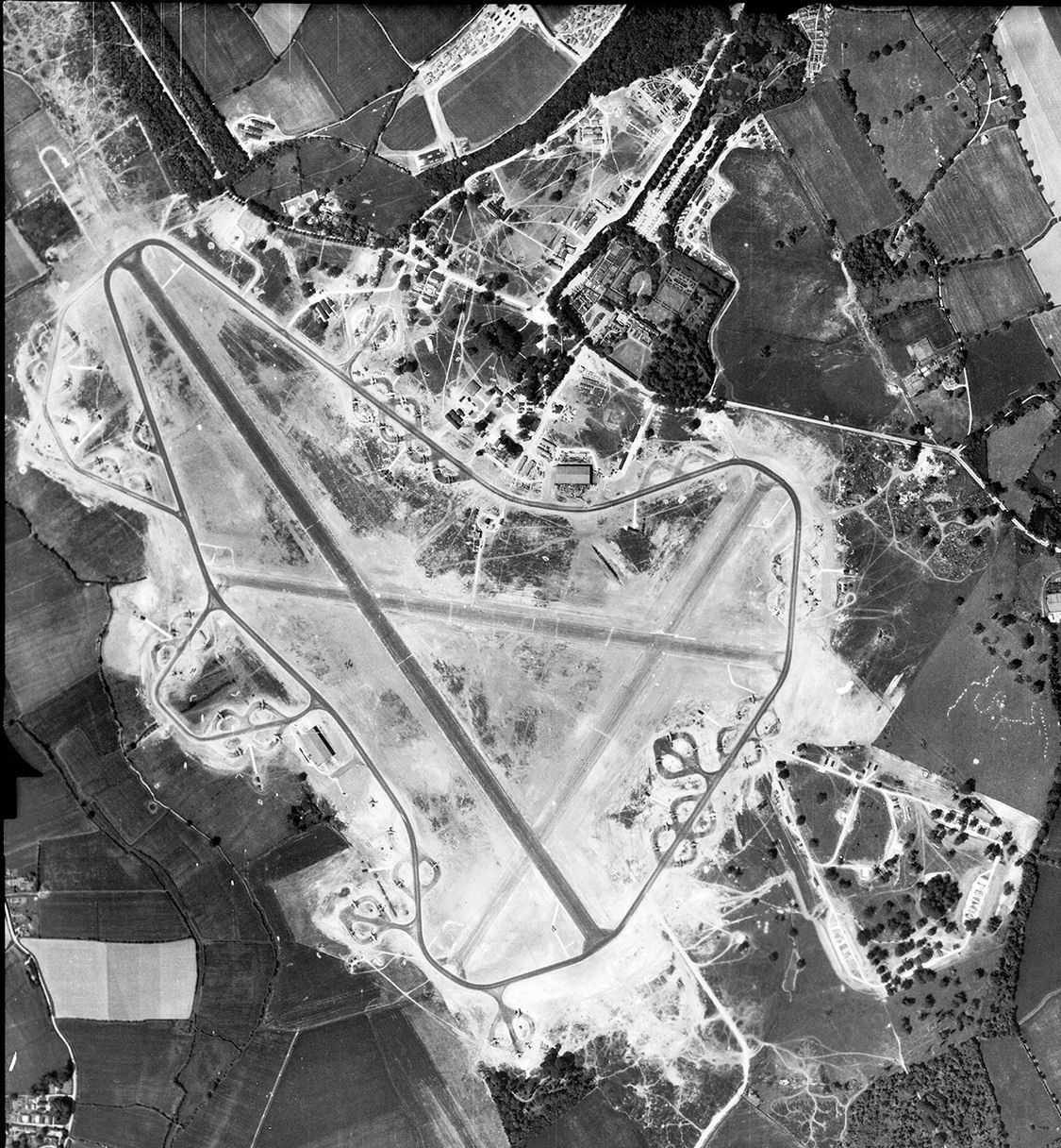
RAF Great Dunmow

Royal Air Force Great Dunmow or more simply RAF Great Dunmow is a former Royal Air Force station in the parish of Little Easton, Essex, England. The airfield...
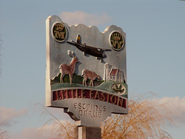
Little Easton

Little Easton is a village and civil parish in Essex, England. The village is situated approximately 7 miles (11 km) east from the town of Bishop's Stortford...

Great Easton, Essex

Great Easton is a village and civil parish in the Uttlesford district in Essex, England.Great Easton village is about 2 miles (3.2 km) north of Great Dunmow...

Nearby Amenities

Located within 500m of 51.891722,0.31203002
Easton Lodge (site of)
Historic: ruins
Wikidata: Q5330856
Wikipedia: en:Easton Lodge
Lat/Long: 51.8914149/0.3155137
Brookend
Place: hamlet
Lat/Long: 51.8932519/0.3057958
The data included in this document is from www.openstreetmap.org. The data is made available under ODbL.

Have you been to Brookend?

Leave your review of Brookend below (or comments, questions and feedback).