Brockwells
Settlement in Monmouthshire
Wales
Brockwells
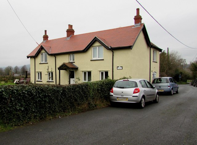
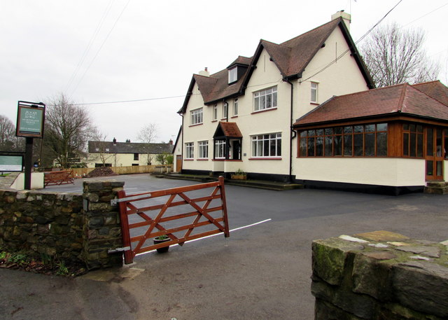
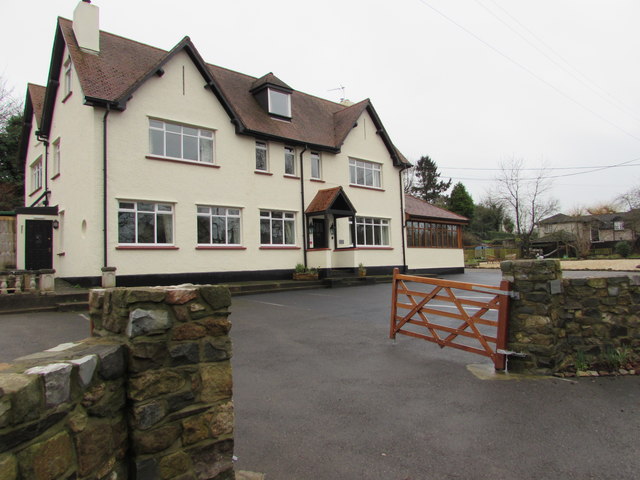
Brockwells is a small village located in the county of Monmouthshire, Wales. Situated in the southeastern part of the county, the village is surrounded by picturesque countryside and offers a peaceful and idyllic setting for its residents and visitors.
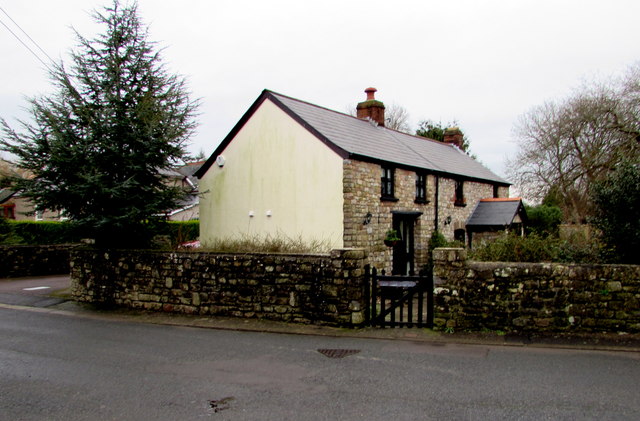
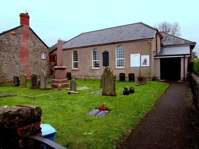
The village is known for its charming and traditional architecture, with many of the buildings dating back several centuries. The centerpiece of Brockwells is the historic parish church, which stands as a testament to the village's rich history. The church, with its beautiful stained glass windows and intricate stonework, attracts visitors interested in the region's religious and architectural heritage.
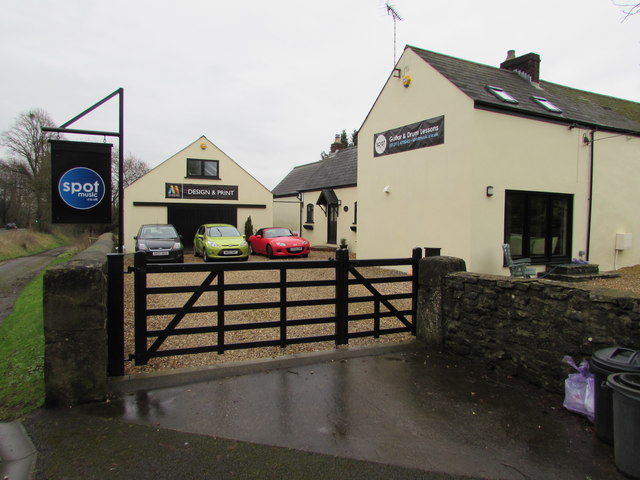
Despite its small size, Brockwells boasts a strong sense of community, with various local events and activities organized throughout the year. The village pub serves as a popular gathering spot, providing a warm and welcoming atmosphere for residents and tourists alike.
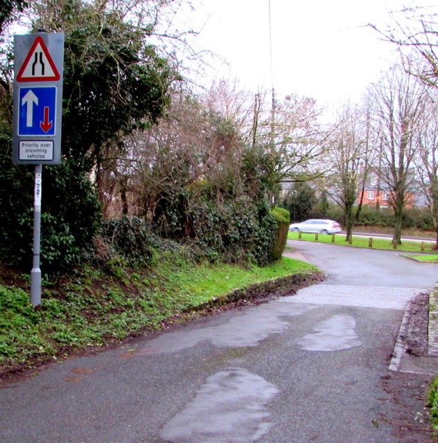
The surrounding countryside offers ample opportunities for outdoor pursuits, such as hiking and cycling. The rolling hills and scenic landscapes provide a stunning backdrop for nature enthusiasts and photographers. Additionally, the nearby Monmouthshire and Brecon Canal offers a tranquil setting for boating and fishing.
Brockwells is conveniently located within close proximity to larger towns and cities, such as Monmouth and Newport, providing residents with access to a wider range of amenities and services. The village's peaceful ambiance and strong community spirit make it a desirable place to live or visit for those seeking a slower pace of life and a connection with nature.
If you have any feedback on the listing, please let us know in the comments section below.
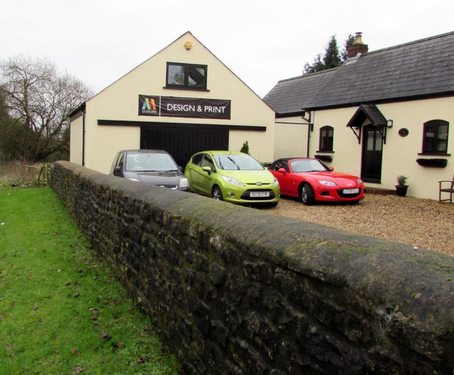
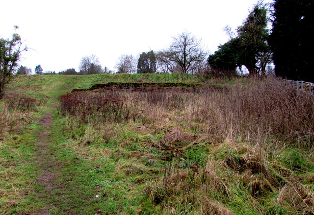
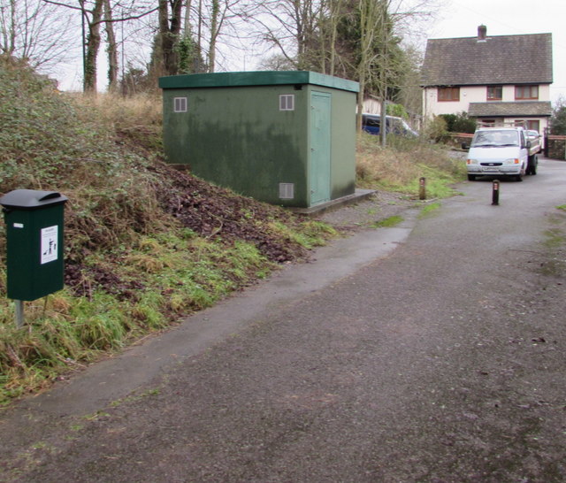
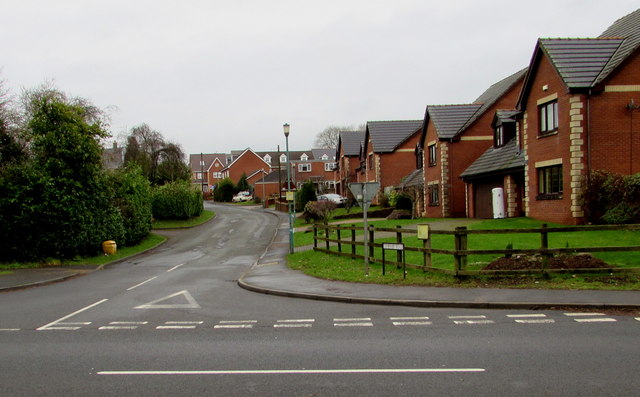
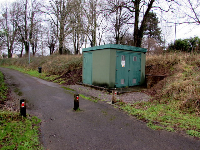
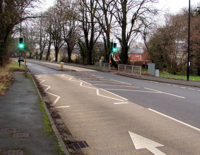
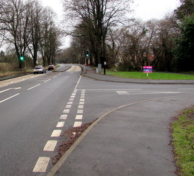
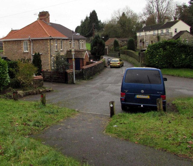
Brockwells Images
Images are sourced within 2km of 51.601846/-2.7660131 or Grid Reference ST4789. Thanks to Geograph Open Source API. All images are credited.
Brockwells is located at Grid Ref: ST4789 (Lat: 51.601846, Lng: -2.7660131)
Unitary Authority: Monmouthshire
Police Authority: Gwent
What 3 Words
///palettes.engaging.coder. Near Caerwent, Monmouthshire
Nearby Locations
Related Wikis
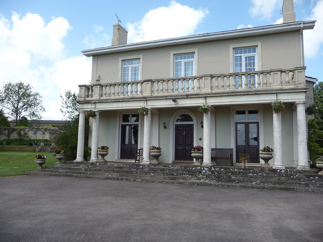
Dewstow House
Dewstow House, Caldicot, Monmouthshire, Wales, is an early nineteenth century villa in a Neoclassical style. The house is notable as the site of "one of...
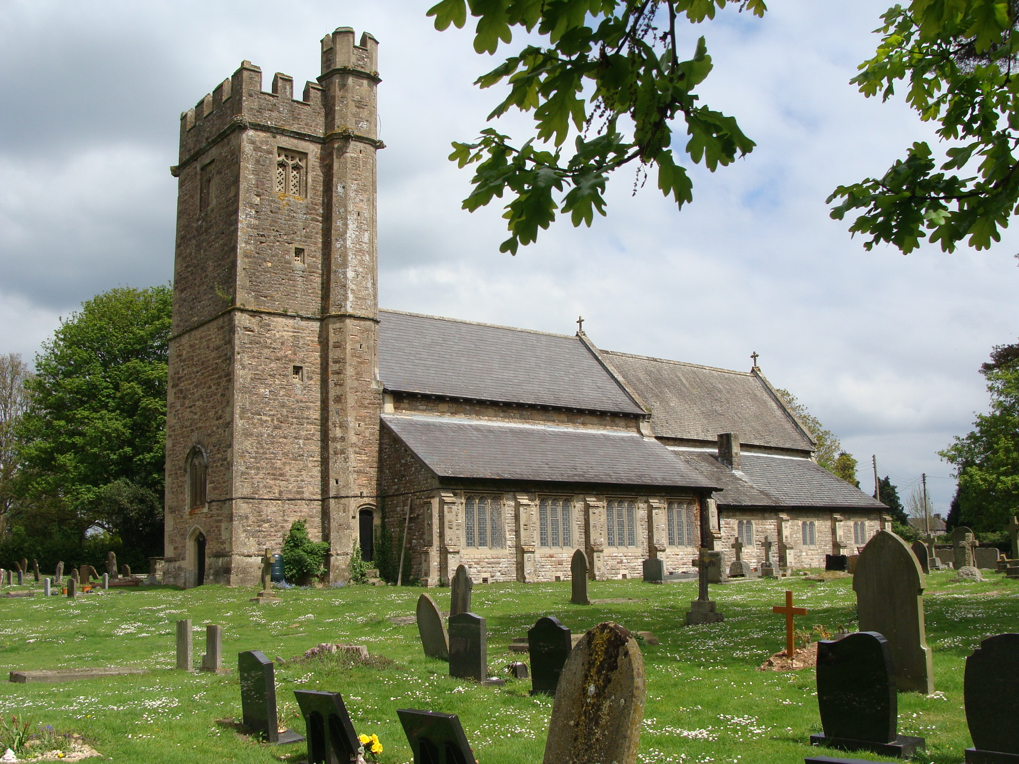
Church of St Stephen and St Tathan, Caerwent
The Church of St Stephen and St Tathan, Caerwent, Monmouthshire, is a parish church with datable origins to the 13th century. It is believed to be one...

Caerwent
Caerwent (Welsh: Caer-went) is a village and community in Monmouthshire, Wales. It is located about five miles west of Chepstow and 11 miles east of Newport...

Venta Silurum
Venta Silurum was a town in Roman Britain (Britannia). Today it consists of remains in the village of Caerwent in Monmouthshire, south east Wales. Much...
Nearby Amenities
Located within 500m of 51.601846,-2.7660131Have you been to Brockwells?
Leave your review of Brockwells below (or comments, questions and feedback).