Brockwell Park
Settlement in Surrey
England
Brockwell Park
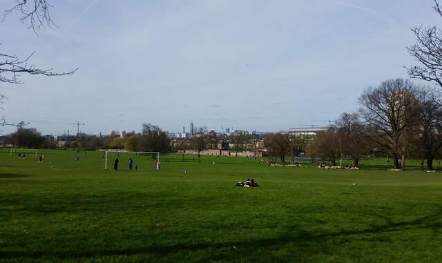
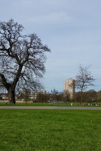
Brockwell Park is a stunning public park situated in the heart of Surrey, England. Covering an area of approximately 50 hectares, this well-maintained green space offers a variety of recreational activities and natural beauty, making it a popular destination for locals and tourists alike.
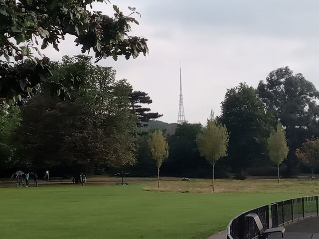
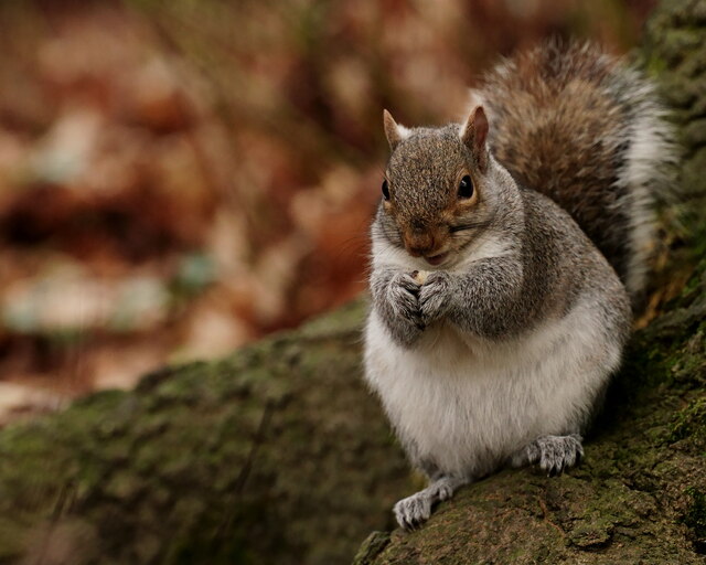
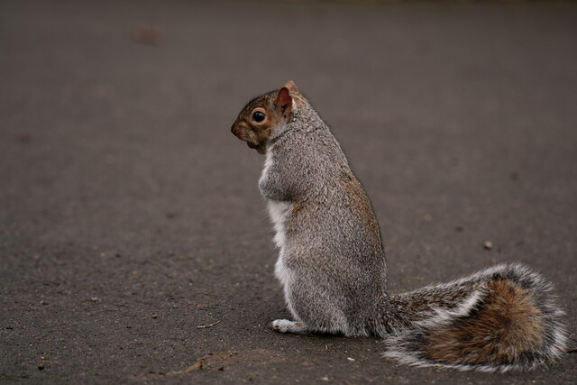
The park boasts an impressive landscape with rolling hills, expansive lawns, and a large pond, creating a picturesque setting for leisurely walks or picnics. Lush trees and vibrant flowers adorn the park, providing a serene atmosphere and attracting a diverse range of wildlife.
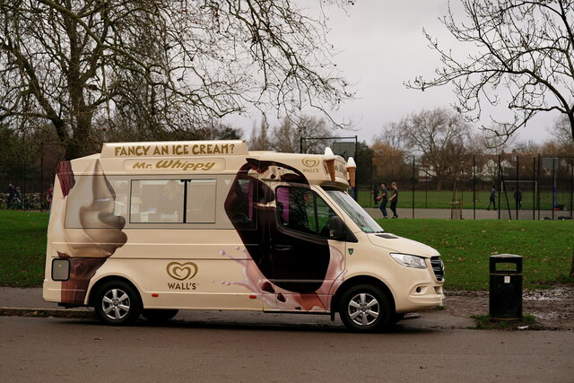
Brockwell Park offers numerous amenities for visitors to enjoy. Sports enthusiasts can take advantage of the well-equipped tennis courts, basketball courts, and football pitches. There is also a dedicated skate park and a well-maintained outdoor gym for those looking to stay active. Families with children will be delighted by the adventure playground, which features play equipment suitable for all ages.
Additionally, the park hosts various community events throughout the year, including music festivals, art exhibitions, and cultural celebrations. The historic Brockwell Hall, an impressive Grade II listed building, serves as a focal point within the park and is often used for weddings and other private functions.
With its tranquil atmosphere, beautiful scenery, and abundance of recreational facilities, Brockwell Park offers something for everyone. Whether you seek relaxation, exercise, or community engagement, this enchanting green space is a true gem in the heart of Surrey.
If you have any feedback on the listing, please let us know in the comments section below.
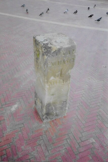
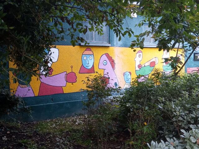
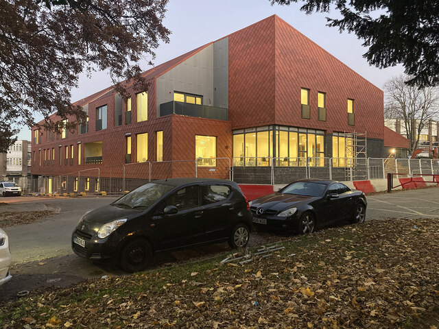
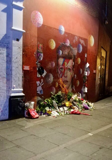
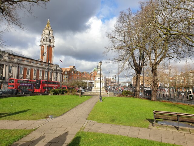
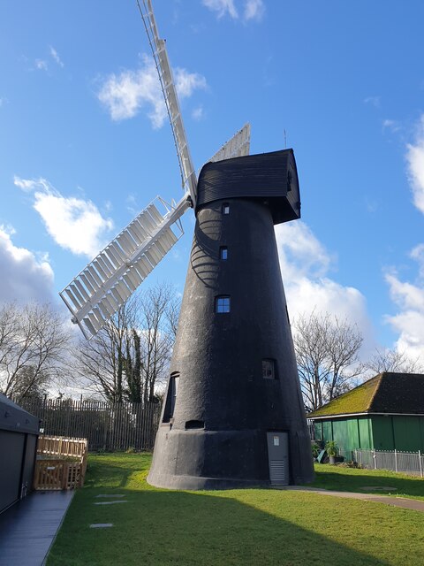
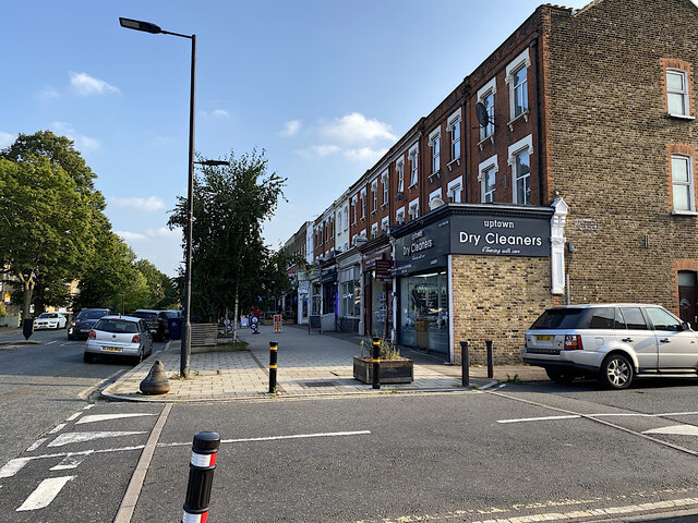
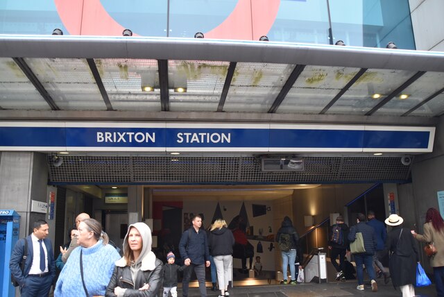
Brockwell Park Images
Images are sourced within 2km of 51.452021/-0.10193936 or Grid Reference TQ3174. Thanks to Geograph Open Source API. All images are credited.
Brockwell Park is located at Grid Ref: TQ3174 (Lat: 51.452021, Lng: -0.10193936)
Unitary Authority: Lambeth
Police Authority: Metropolitan
What 3 Words
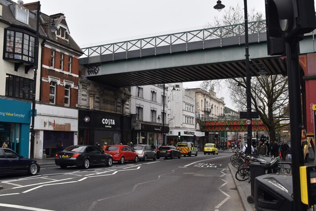
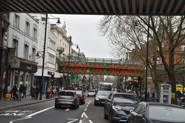
///horn.local.asleep. Near Brixton Hill, London
Nearby Locations
Related Wikis
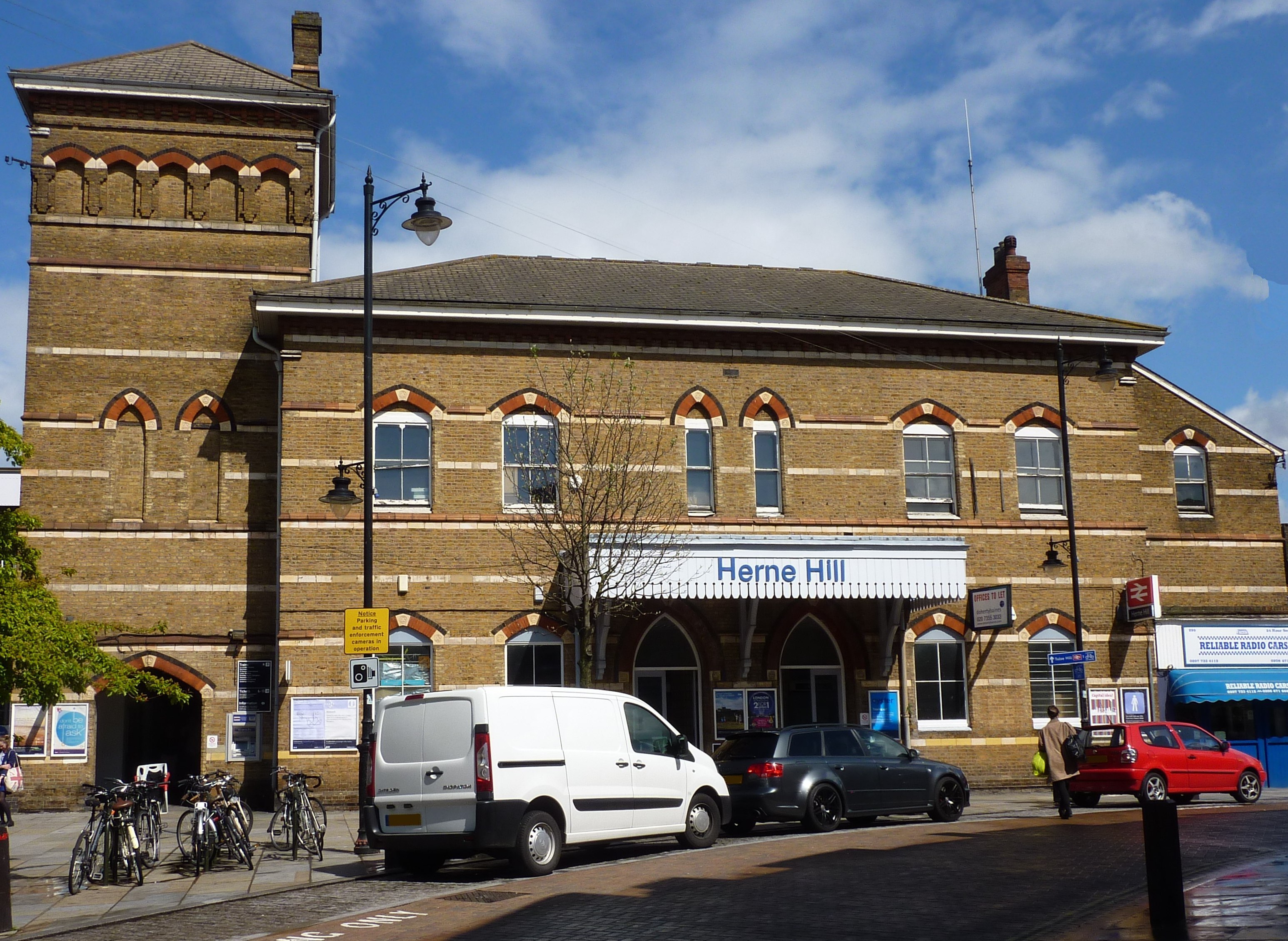
Herne Hill railway station
Herne Hill railway station is in the London Borough of Lambeth, South London, England, on the boundary between London fare zones 2 and 3. Train services...

Half Moon, Herne Hill
The Half Moon is a Grade II* listed public house at 10 Half Moon Lane, Herne Hill, London. It is one of only 270 pubs on the Campaign for Real Ale's National...
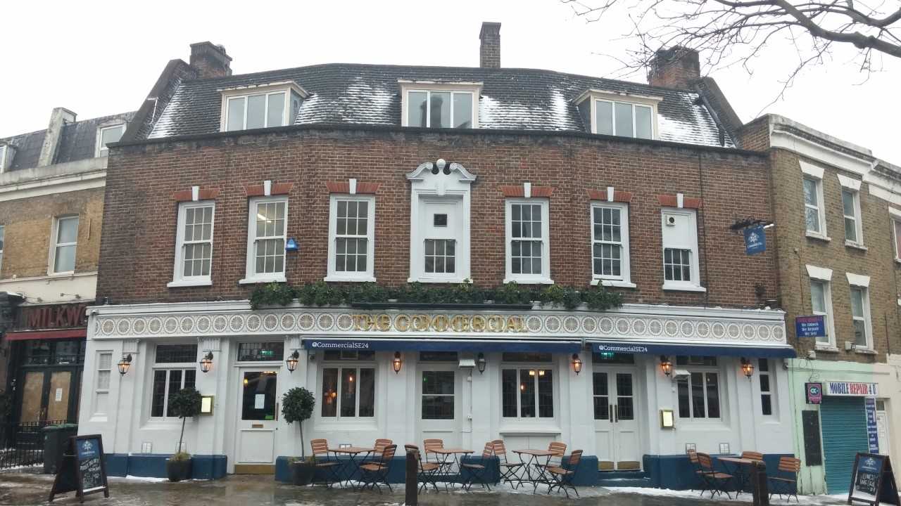
The Commercial, Herne Hill
The Commercial (also known as The Commercial Hotel) is a public house at 210-212 Railton Road, Herne Hill, London. It is cited in 'The CAMRA Regional Inventory...

198 Contemporary Arts and Learning
198 Contemporary Arts and Learning, also known as the 198 Gallery or 198, is an art space and gallery in Railton Road, Brixton, London. == History == The...
Nearby Amenities
Located within 500m of 51.452021,-0.10193936Have you been to Brockwell Park?
Leave your review of Brockwell Park below (or comments, questions and feedback).