Caerwent Brook
Settlement in Monmouthshire
Wales
Caerwent Brook
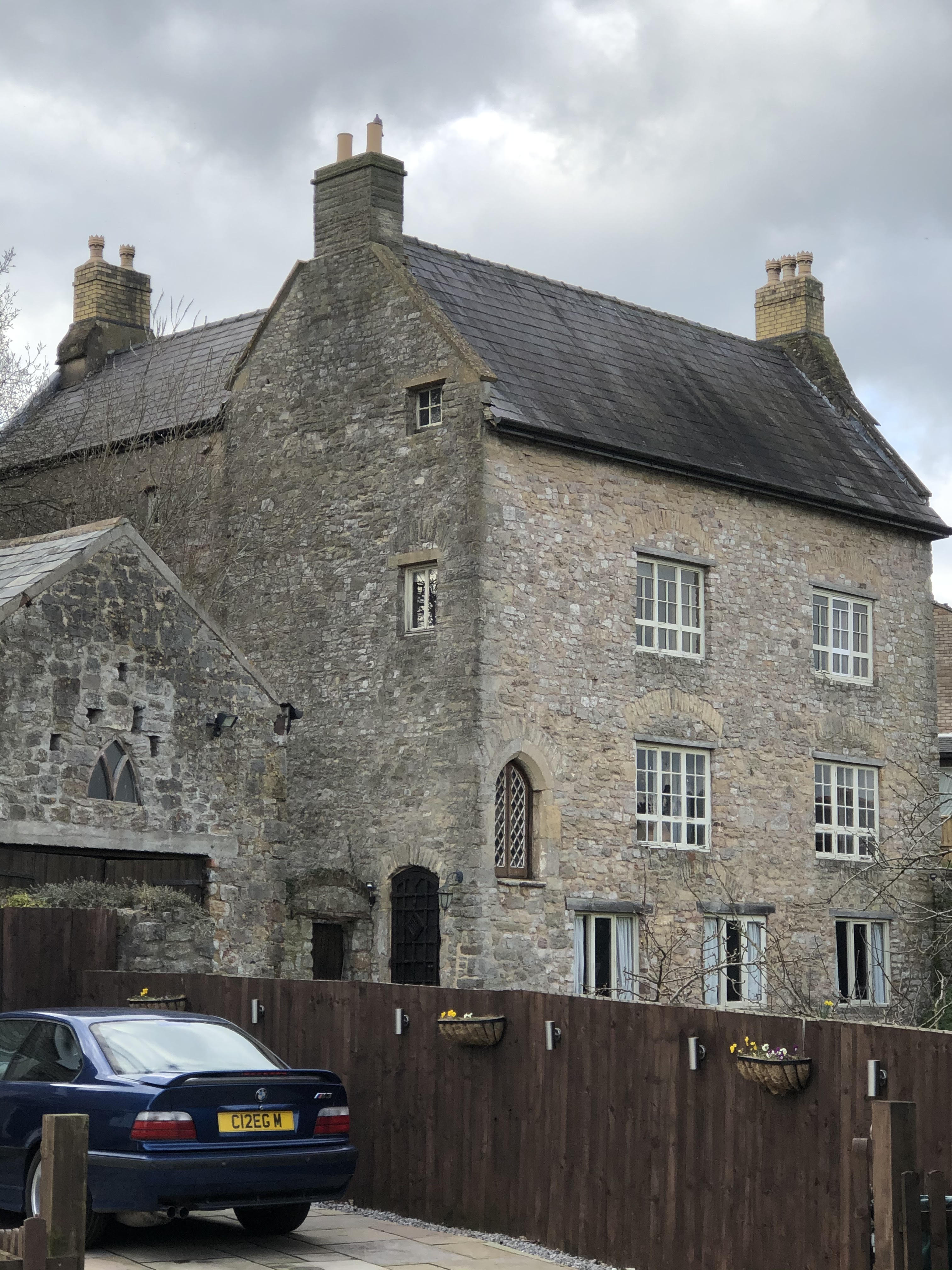
Caerwent Brook is a small village located in Monmouthshire, Wales. Situated in the southeastern part of the country, it is nestled in the beautiful countryside and is surrounded by rolling hills and lush green fields. The village is part of the larger community of Caerwent and is approximately 5 miles south of the town of Chepstow.
Caerwent Brook is known for its peaceful and idyllic setting, making it an attractive place for those seeking a quieter lifestyle away from the hustle and bustle of city living. The village is home to a close-knit community that takes pride in its rich history and natural surroundings.
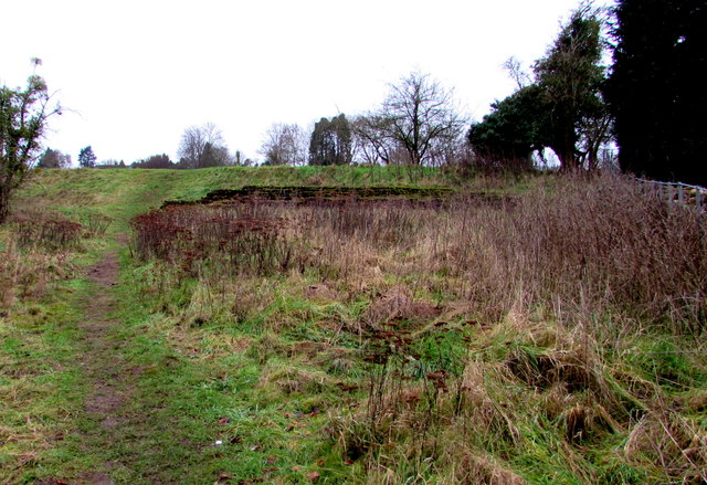
One of the notable features of Caerwent Brook is its proximity to the Caerwent Roman Town, which is an archaeological site of great significance. The remains of this ancient Roman settlement can still be seen today, including the impressive city walls and the remains of a Roman temple. This historical site attracts visitors from far and wide, adding to the cultural richness of the area.
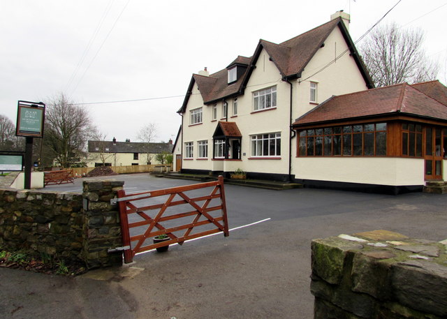
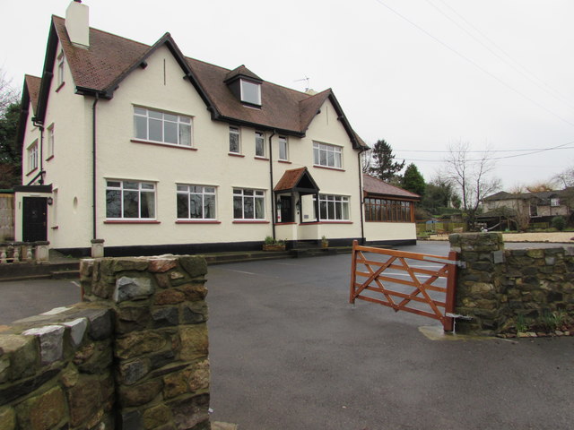
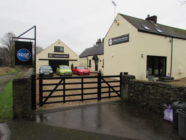
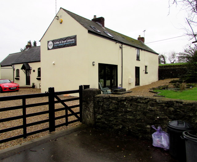
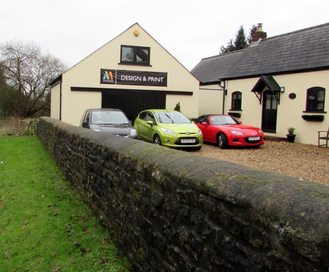
In terms of amenities, Caerwent Brook has a handful of local businesses, including a small convenience store and a cozy pub, offering a range of services and opportunities for socializing. The village also benefits from its close proximity to Chepstow, where residents can access a wider range of amenities, including shops, supermarkets, schools, and healthcare facilities.
Overall, Caerwent Brook provides a tranquil and picturesque setting for those looking to enjoy the beauty of the Welsh countryside while still having access to essential services and historical attractions.
If you have any feedback on the listing, please let us know in the comments section below.
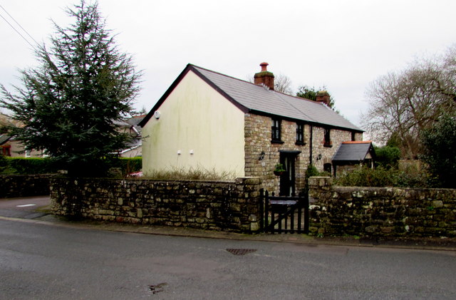
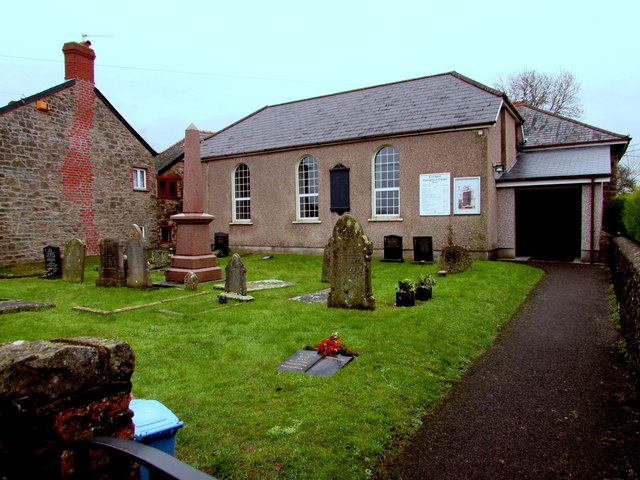
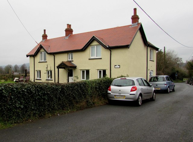
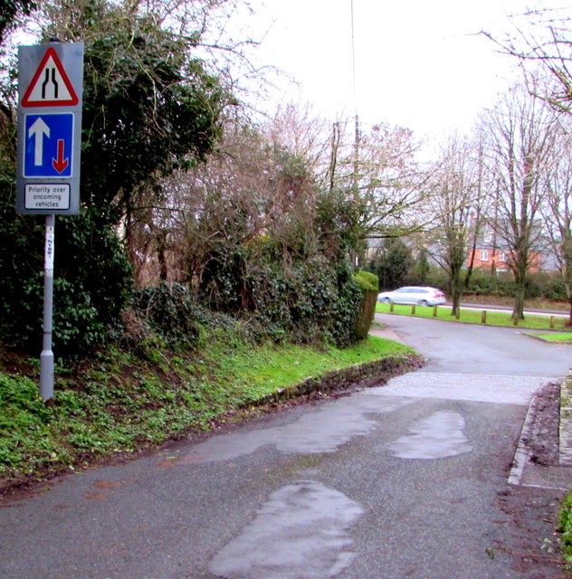
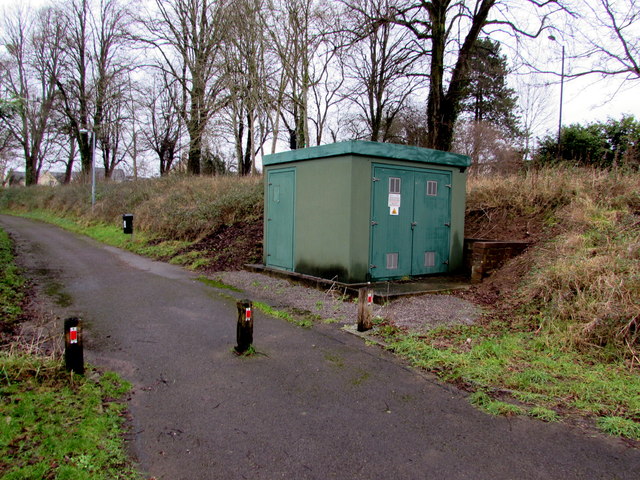
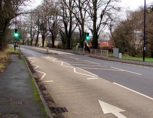
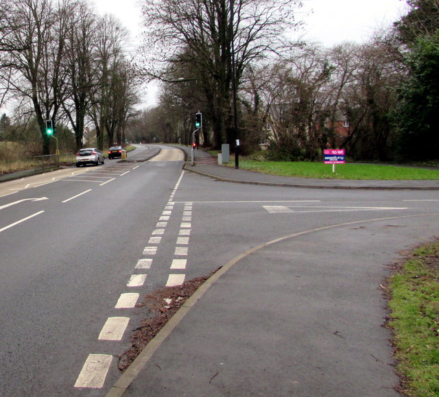
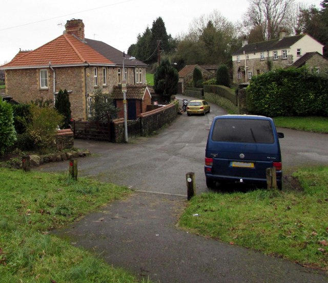
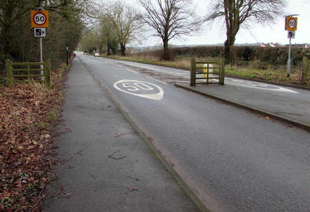
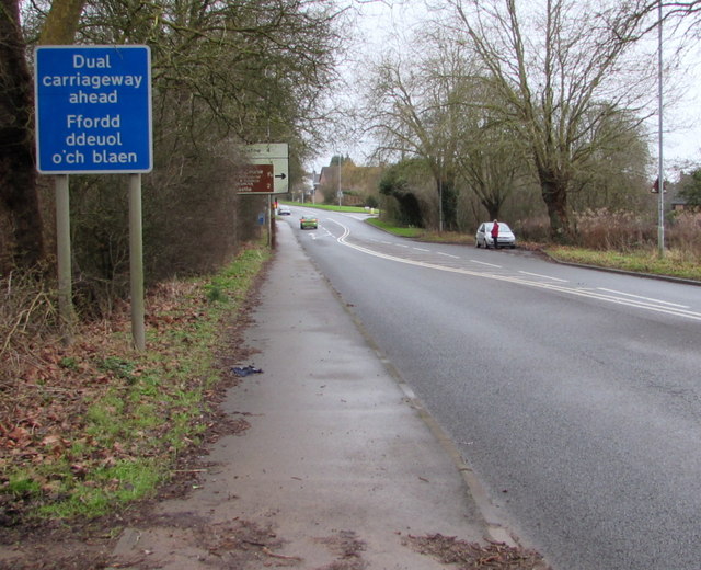
Caerwent Brook Images
Images are sourced within 2km of 51.604944/-2.762372 or Grid Reference ST4789. Thanks to Geograph Open Source API. All images are credited.
Caerwent Brook is located at Grid Ref: ST4789 (Lat: 51.604944, Lng: -2.762372)
Unitary Authority: Monmouthshire
Police Authority: Gwent
What 3 Words
///stocks.coconut.forgiving. Near Caerwent, Monmouthshire
Nearby Locations
Related Wikis

Caerwent
Caerwent (Welsh: Caer-went) is a village and community in Monmouthshire, Wales. It is located about five miles west of Chepstow and 11 miles east of Newport...
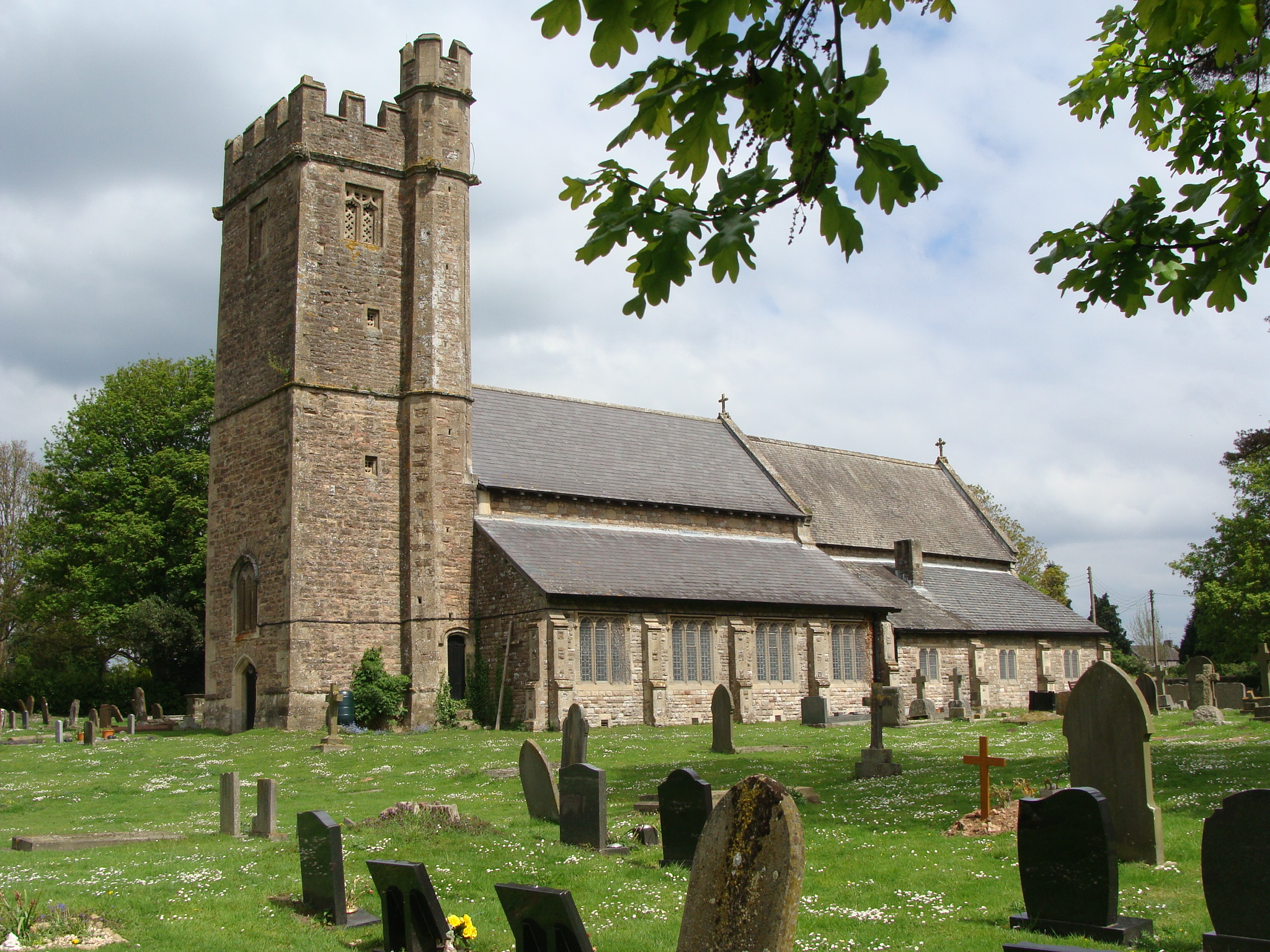
Church of St Stephen and St Tathan, Caerwent
The Church of St Stephen and St Tathan, Caerwent, Monmouthshire, is a parish church with datable origins to the 13th century. It is believed to be one...

Venta Silurum
Venta Silurum was a town in Roman Britain (Britannia). Today it consists of remains in the village of Caerwent in Monmouthshire, south east Wales. Much...
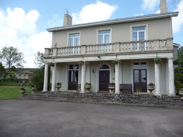
Dewstow House
Dewstow House, Caldicot, Monmouthshire, Wales, is an early nineteenth century villa in a Neoclassical style. The house is notable as the site of "one of...

Crick, Monmouthshire
Crick (Welsh: Crug) is a small village or hamlet in the Welsh county of Monmouthshire, United Kingdom. It is located on the A48 road 1 mile north of the...
Caldicot Castle (electoral ward)
Caldicot Castle is an electoral ward in the town of Caldicot, Monmouthshire, Wales. The ward elects councillors to Caldicot Town Council and Monmouthshire...

Caerwent Training Area
Caerwent Training Area is a British military installation at Caerwent, Monmouthshire, Wales. The large military site is situated north of the A48 road...
Church Farmhouse, Caldicot
Church Farmhouse, Caldicot, Monmouthshire is a substantial grange building which was a working farmhouse before 1205. It is connected to both Llanthony...
Nearby Amenities
Located within 500m of 51.604944,-2.762372Have you been to Caerwent Brook?
Leave your review of Caerwent Brook below (or comments, questions and feedback).