Breek

Settlement in Ayrshire

Scotland

Breek

Brown Carrick Hill Summit.
Brown Carrick Hill Credit: Richard Webb

Breek is a small village located in South Ayrshire, Scotland. Situated approximately 10 miles southeast of the town of Ayr, it lies at the southern edge of the picturesque Galloway Forest Park. Breek is surrounded by rolling hills and stunning natural landscapes, offering residents and visitors a peaceful and serene environment.

The village itself is quite small, with a population of around 200 people. Breek is known for its tight-knit community, where residents often engage in local events and activities together. The village has a community hall which serves as a hub for gatherings and social events, contributing to the strong sense of community.

While Breek does not have many amenities within its boundaries, it benefits from its close proximity to nearby towns. Ayr, with its wider range of services, including shops, supermarkets, restaurants, and healthcare facilities, is easily accessible. Breek also benefits from its location near the coast, allowing residents to enjoy the sandy beaches and coastal activities.

For nature enthusiasts, Breek offers ample opportunities for outdoor pursuits. The nearby Galloway Forest Park provides an ideal setting for hiking, cycling, and wildlife spotting. The park is also home to the famous Dark Sky Observatory, offering stargazers a chance to marvel at the wonders of the night sky.

Overall, Breek is a charming village that offers a peaceful rural lifestyle, close to nature while still benefiting from nearby amenities. Its strong community spirit and beautiful surroundings make it an attractive place to live or visit for those seeking tranquility and natural beauty.

If you have any feedback on the listing, please let us know in the comments section below.
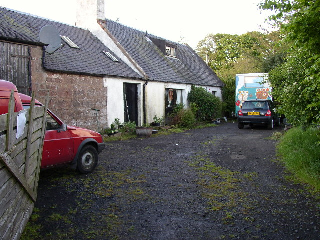
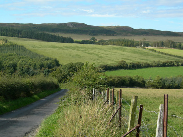
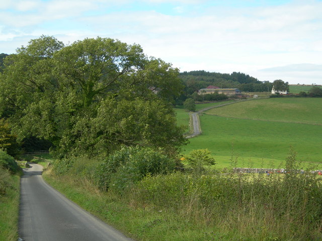
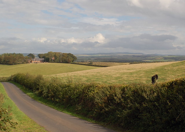
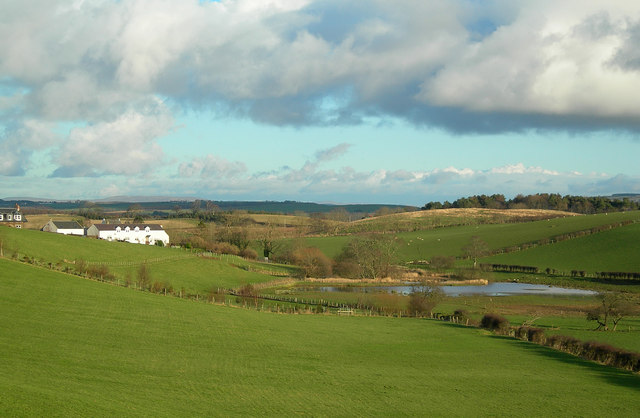
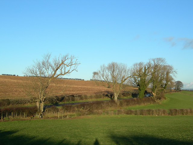
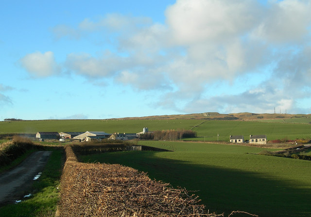
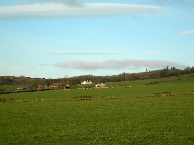
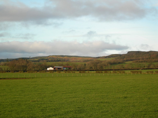
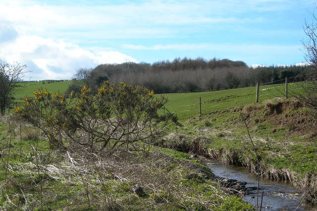
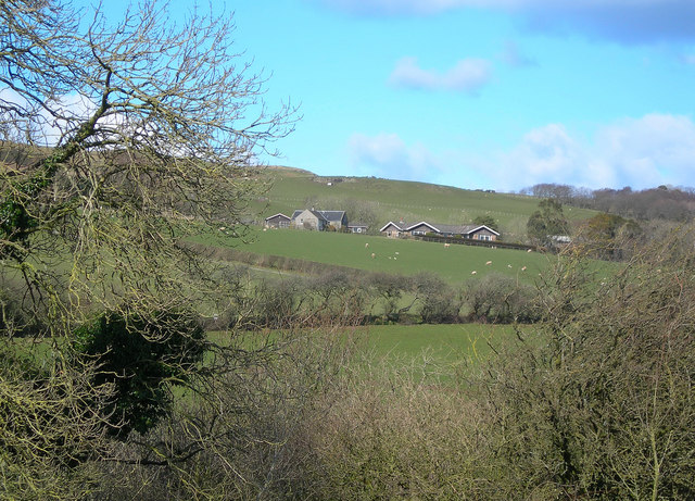
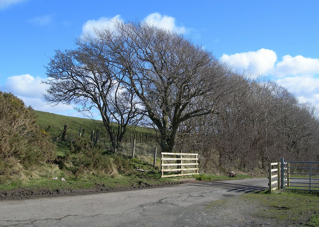
Breek Images

Images are sourced within 2km of 55.394437/-4.6899237 or Grid Reference NS2914. Thanks to Geograph Open Source API. All images are credited.

Brown Carrick Hill Summit.
Brown Carrick Hill
Summit.
Culroy Nr Ayr
Culroy Nr Ayr
Glenalmond Looking NE along Cycle Route 7 towards Glenalmond Farm
Glenalmond
Looking NE along Cycle Route 7 towards Glenalmond Farm
Road to Garryhorn Looking NNW down the hill towards Garryhorn, showing farmland and woodland
Road to Garryhorn
Looking NNW down the hill towards Garryhorn, showing farmland and woodland
Sauchrie Looking N across the burn towards Sauchrie Farm, from Cycle Route 7
Sauchrie
Looking N across the burn towards Sauchrie Farm, from Cycle Route 7
Knockdon Farm Improved grazing with Knockdon Farm in background
Knockdon Farm
Improved grazing with Knockdon Farm in background
St Helen's Well The lochan contains the old St Helen's Well.  In bygone days, its waters were believed to cure ailing children if taken on Mayday.  Many Maybole mothers used to walk the 5 mile round trip on Mayday to get a jug of water from St Helen's if they thought that their offsprings weren't thriving as they should.  (Source: "Maybole - Carrick's Capital" by James T Gray)
St Helen's Well
The lochan contains the old St Helen's Well. In bygone days, its waters were believed to cure ailing children if taken on Mayday. Many Maybole mothers used to walk the 5 mile round trip on Mayday to get a jug of water from St Helen's if they thought that their offsprings weren't thriving as they should. (Source: "Maybole - Carrick's Capital" by James T Gray)
Roadside Trees Mature ash trees with varying degrees of ivy alongside the B7024 on a fine January afternoon.
Roadside Trees
Mature ash trees with varying degrees of ivy alongside the B7024 on a fine January afternoon.
High Milton Farm Looking along one of the minor roads that give access to Brown Carrick Hill, shown in the background of this shot.
High Milton Farm
Looking along one of the minor roads that give access to Brown Carrick Hill, shown in the background of this shot.
High Pinmore Looking along the south-eastern edge of the North Carrick Hills.
High Pinmore
Looking along the south-eastern edge of the North Carrick Hills.
Low Pinmore Looking along the south-eastern edge of the North Carrick Hills.
Low Pinmore
Looking along the south-eastern edge of the North Carrick Hills.
Along the Burn Farmland and woodland along the southern edge of the Carrick Hills.
Along the Burn
Farmland and woodland along the southern edge of the Carrick Hills.
Beoch A winter view, taken on a fine March afternoon.
Beoch
A winter view, taken on a fine March afternoon.
Sauchrie Glen Looking up Sauchrie Glen from the Hill Road.  The three Police Radio Masts in the background are a prominent local landmark.
Sauchrie Glen
Looking up Sauchrie Glen from the Hill Road. The three Police Radio Masts in the background are a prominent local landmark.
At the Cattle Grid One of several cattle grids on the Brown Carrick Hill Road.
At the Cattle Grid
One of several cattle grids on the Brown Carrick Hill Road.
Brown Carrick Hill Road National Cycle Route number 7 follows this road.
Brown Carrick Hill Road
National Cycle Route number 7 follows this road.
Sheep by Sauchrie Glen The narrow part of Sauchrie glen is visible beyond the sheep.  Extra care is needed when walking on hill grazing at this time of year (March), before the lambing has taken place.
Sheep by Sauchrie Glen
The narrow part of Sauchrie glen is visible beyond the sheep. Extra care is needed when walking on hill grazing at this time of year (March), before the lambing has taken place.
Moorland View The Brown Carrick Hill Road is just out of sight, behind the rocky outcrop.
Moorland View
The Brown Carrick Hill Road is just out of sight, behind the rocky outcrop.
Show me another place!

Breek is located at Grid Ref: NS2914 (Lat: 55.394437, Lng: -4.6899237)

Unitary Authority: South Ayrshire

Police Authority: Ayrshire

What 3 Words

///puppy.skips.powering. Near Maybole, South Ayrshire

Nearby Locations

Breek

Related Wikis

Minishant

Minishant is a village bordering the A77 in the old county of Carrick, South Ayrshire, Scotland. It is located in Maybole Parish, 3+1⁄2 miles (5.5 kilometres...

Cassillis railway station

Cassillis railway station was a railway station serving the village of Minishant, South Ayrshire, Scotland. The station was originally part of the Ayr...

Heads of Ayr Holiday Camp railway station

Heads of Ayr Holiday Camp railway station was a railway station serving the holiday camp and hotel at Heads of Ayr, South Ayrshire, Scotland. The station...

Heads of Ayr railway station

Heads of Ayr railway station was a railway station serving the Heads of Ayr, South Ayrshire, Scotland. The station was part of the Maidens and Dunure Light...

Nearby Amenities

Located within 500m of 55.394437,-4.6899237
Sauchrie
Place: locality
Lat/Long: 55.3964657/-4.6835392
Power: pole
Lat/Long: 55.3941262/-4.6828482
Power: pole
Lat/Long: 55.3942394/-4.6836734
Power: pole
Lat/Long: 55.3943322/-4.6836398
Power: pole
Lat/Long: 55.3947541/-4.6840593
Power: pole
Lat/Long: 55.3957005/-4.6849563
Power: pole
Lat/Long: 55.3963824/-4.6841798
Power: pole
Lat/Long: 55.396984/-4.6834868
Power: pole
Lat/Long: 55.3974447/-4.6846202
Power: pole
Lat/Long: 55.3979093/-4.6858302
Power: pole
Lat/Long: 55.3982766/-4.6868663
Power: pole
Lat/Long: 55.3901833/-4.6902423
Power: pole
Lat/Long: 55.390864/-4.6905529
Power: pole
Lat/Long: 55.3914143/-4.6908195
Power: pole
Lat/Long: 55.3919409/-4.6910907
Power: pole
Lat/Long: 55.3925978/-4.6914291
Power: pole
Lat/Long: 55.3932455/-4.691742
Power: pole
Lat/Long: 55.3938405/-4.6920317
Power: pole
Lat/Long: 55.3943736/-4.6924327
The data included in this document is from www.openstreetmap.org. The data is made available under ODbL.

Have you been to Breek?

Leave your review of Breek below (or comments, questions and feedback).