Brauncewell
Settlement in Lincolnshire North Kesteven
England
Brauncewell

Brauncewell is a small village located in the district of North Kesteven, in the county of Lincolnshire, England. Situated approximately 10 miles south of the city of Lincoln, it lies in the heart of the English countryside, surrounded by picturesque farmland and rolling hills.
The village has a rich history dating back to medieval times, with evidence of settlements and farming activities in the area. The name "Brauncewell" is believed to have originated from the Old English words "brun," meaning spring or well, and "cwell," referring to a spring or stream.
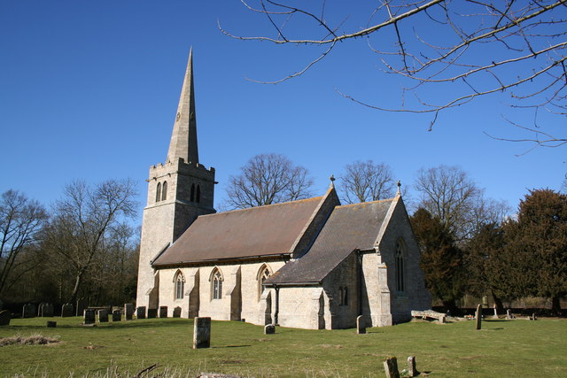
Today, Brauncewell remains a peaceful and close-knit community, with a population of around 200 residents. The village is predominantly residential, with a scattering of traditional Lincolnshire cottages and newer houses. The local church, St. Peter's, is a prominent feature of the village, dating back to the 12th century and showcasing beautiful architecture.
Although small, Brauncewell is well-connected to surrounding towns and cities, with good road links and access to public transportation. It offers a tranquil escape from urban life, providing residents with a sense of rural living and a close connection to nature.
The village benefits from its proximity to nearby amenities and attractions, such as Lincoln Castle and Cathedral, which are just a short drive away. Additionally, the surrounding countryside provides opportunities for outdoor activities like walking, cycling, and horse riding.
In summary, Brauncewell is a charming and historic village in Lincolnshire, known for its rural beauty, community spirit, and peaceful way of life.
If you have any feedback on the listing, please let us know in the comments section below.
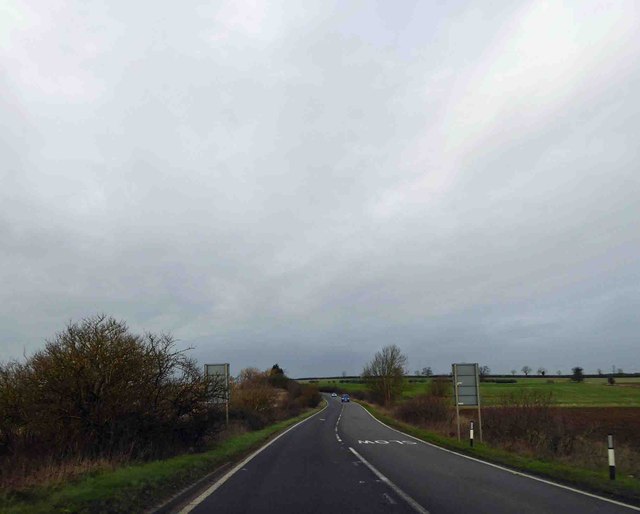
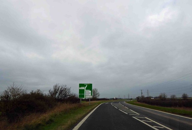
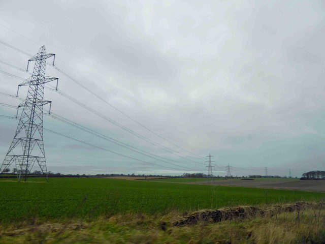
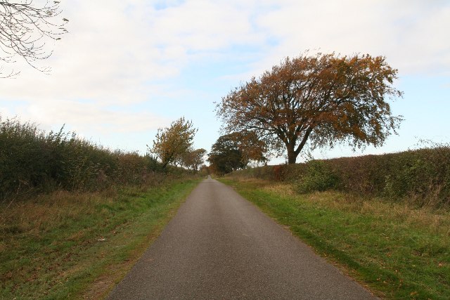
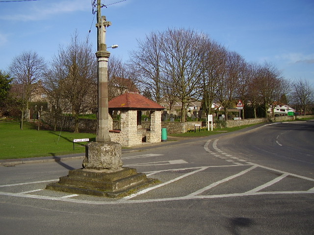
Brauncewell Images
Images are sourced within 2km of 53.059252/-0.4405757 or Grid Reference TF0452. Thanks to Geograph Open Source API. All images are credited.


Brauncewell is located at Grid Ref: TF0452 (Lat: 53.059252, Lng: -0.4405757)
Division: Parts of Kesteven
Administrative County: Lincolnshire
District: North Kesteven
Police Authority: Lincolnshire
What 3 Words
///outbid.truffles.typhoon. Near Cranwell, Lincolnshire
Nearby Locations
Related Wikis

Ashby de la Launde and Bloxholm
Ashby de la Launde and Bloxholm is a civil parish in the North Kesteven district of Lincolnshire, England. According to the 2001 Census it had a population...

Bloxholm
Bloxholm is a hamlet, and part of the civil parish of Ashby de la Launde and Bloxholm, in the North Kesteven district of Lincolnshire, England. It is situated...
Ashby de la Launde
Ashby de la Launde is a small village, part of the civil parish of Ashby de la Launde and Bloxholm, in the North Kesteven district of Lincolnshire, England...
Cranwell
Cranwell is a village in the North Kesteven district of Lincolnshire, England. It is part of the civil parish of Cranwell and Byard's Leap and is situated...

Brauncewell
Brauncewell is a hamlet and former civil parish in the North Kesteven district of Lincolnshire, England. From the census 2011 the population is included...

Dorrington, Lincolnshire
Dorrington is a village and civil parish in the North Kesteven district of Lincolnshire, England. It is situated 1.2 miles (2 km) both south from Digby...

RAF Digby
Royal Air Force Digby otherwise known as RAF Digby is a Royal Air Force station located near Scopwick and 11.6 mi (18.7 km) south east of Lincoln, in Lincolnshire...
Thompson's Bottom
Thompson's Bottom is a hamlet in the North Kesteven district of Lincolnshire, England. It is situated just under 0.5 miles (0.8 km) west from the A15 road...
Nearby Amenities
Located within 500m of 53.059252,-0.4405757Have you been to Brauncewell?
Leave your review of Brauncewell below (or comments, questions and feedback).