Brauncewell
Settlement in Lincolnshire North Kesteven
England
Brauncewell
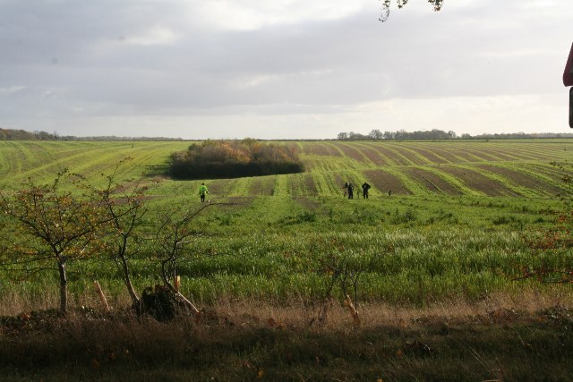
Brauncewell is a small village located in the county of Lincolnshire, England. Situated approximately 9 miles southeast of the city of Lincoln, it falls within the North Kesteven district. The village is primarily rural, surrounded by picturesque countryside and farmland.
With a population of around 200 residents, Brauncewell maintains a peaceful and close-knit community atmosphere. Its history dates back to the Domesday Book, where it was mentioned as "Bruneswelle." The village's name is derived from the Old English words "brun," meaning brown, and "welle," meaning spring or stream.
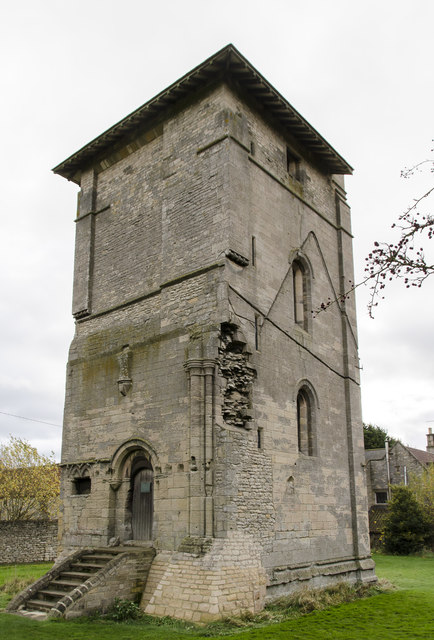
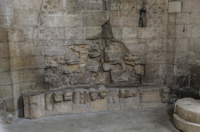
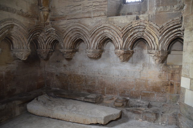
The heart of Brauncewell features a charming 13th-century church, St. Peter's, which stands as a testament to the village's historical significance. The church boasts beautiful stained glass windows and a notable tower, making it a focal point for both locals and visitors.
The village offers limited amenities, including a small pub and a village hall that hosts community events and gatherings. However, residents have easy access to nearby towns and cities for a wider range of services and amenities.
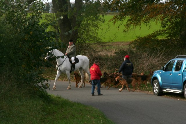
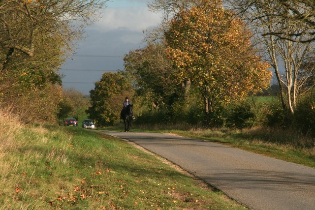
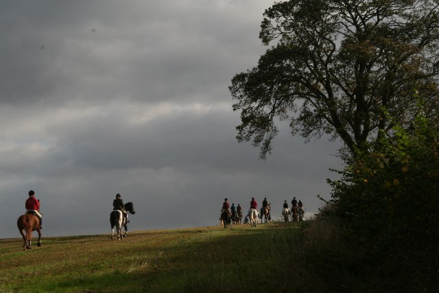
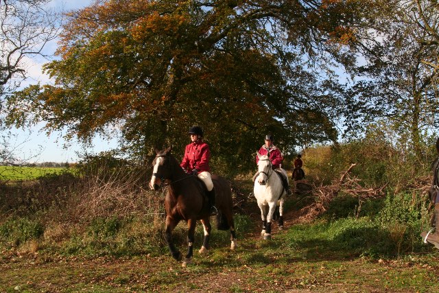
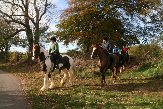
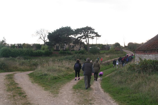
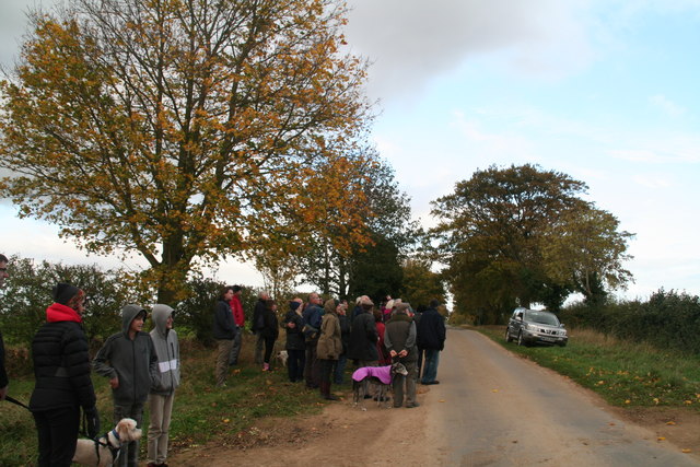
Brauncewell's idyllic countryside setting makes it an excellent location for outdoor activities such as walking, cycling, and horseback riding. The surrounding area includes scenic trails and bridleways, allowing residents to enjoy the natural beauty of Lincolnshire.
Overall, Brauncewell is a tranquil village that offers its residents a peaceful rural lifestyle, surrounded by beautiful landscapes and a strong sense of community.
If you have any feedback on the listing, please let us know in the comments section below.
Brauncewell Images
Images are sourced within 2km of 53.055102/-0.49179964 or Grid Reference TF0151. Thanks to Geograph Open Source API. All images are credited.


Brauncewell is located at Grid Ref: TF0151 (Lat: 53.055102, Lng: -0.49179964)
Division: Parts of Kesteven
Administrative County: Lincolnshire
District: North Kesteven
Police Authority: Lincolnshire
What 3 Words
///coping.consented.sometime. Near Cranwell, Lincolnshire
Nearby Locations
Related Wikis

Brauncewell
Brauncewell is a hamlet and former civil parish in the North Kesteven district of Lincolnshire, England. From the census 2011 the population is included...

Sleaford and North Hykeham (UK Parliament constituency)
Sleaford and North Hykeham is a parliamentary constituency in Lincolnshire, England which elects a single Member of Parliament (MP) to the House of Commons...
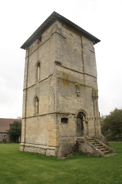
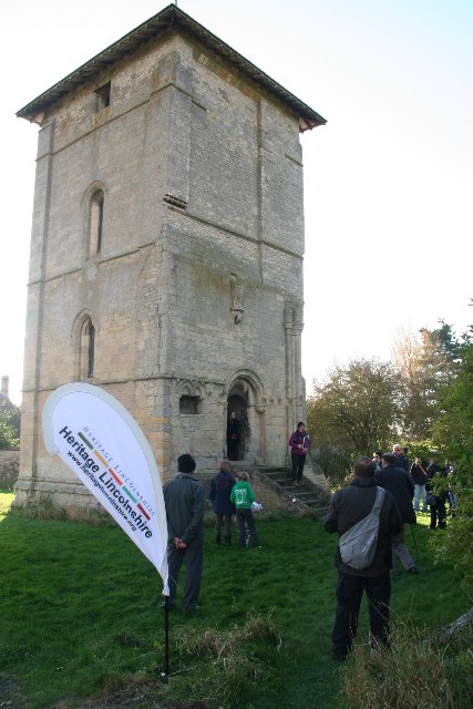
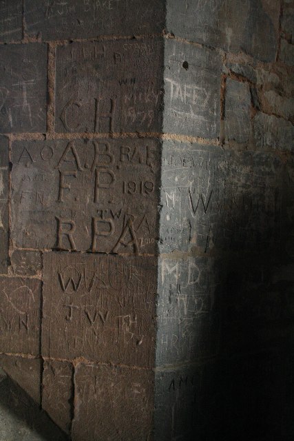
Temple Bruer Preceptory
Temple Bruer Preceptory is a historic building in the civil parish of Temple Bruer with Temple High Grange, North Kesteven, Lincolnshire, England. It...

Temple Bruer with Temple High Grange
Temple Bruer with Temple High Grange is a civil parish and a former extra-parochial area in North Kesteven, Lincolnshire, England which had in the Medieval...

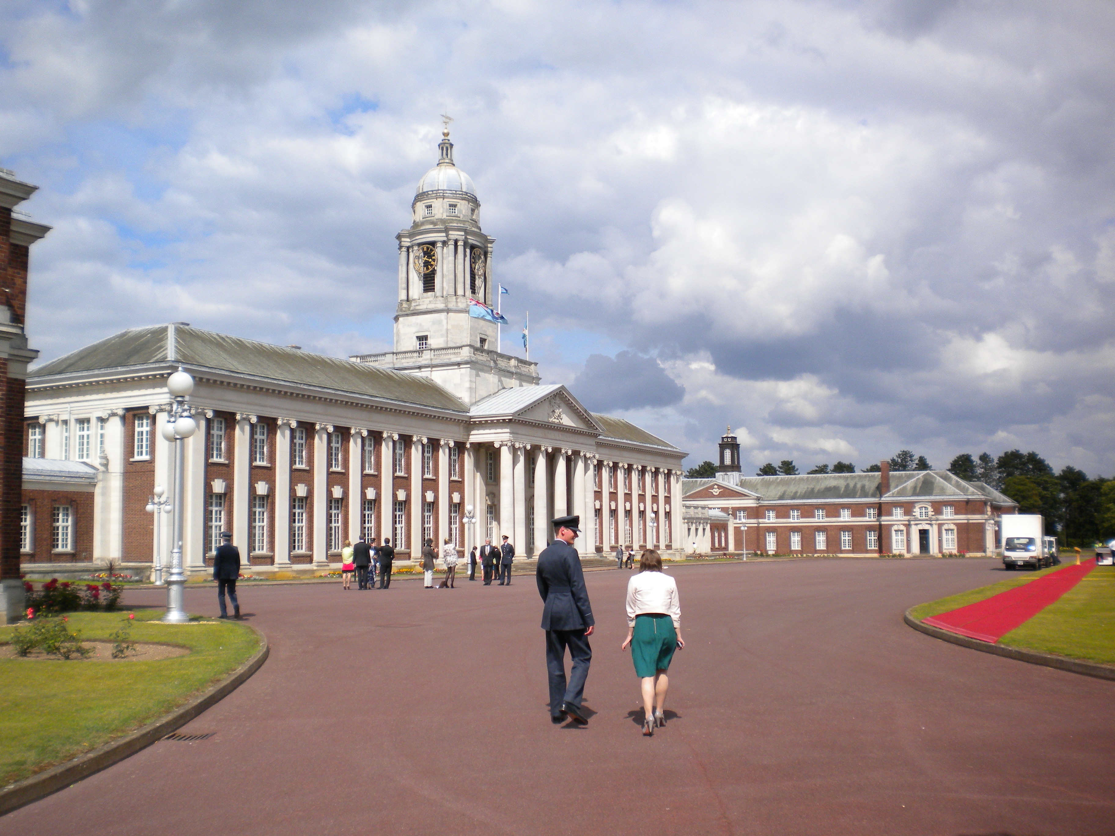
Royal Air Force College Cranwell
The Royal Air Force College (RAFC) is the Royal Air Force military academy which provides initial training to all RAF personnel who are preparing to become...
Central Flying School
The Central Flying School (CFS) is the Royal Air Force's primary institution for the training of military flying instructors. Established in 1912 at the...
RAF Cranwell
Royal Air Force Cranwell or more simply RAF Cranwell (ICAO: EGYD) is a Royal Air Force station in Lincolnshire, England, close to the village of Cranwell...
Cranwell
Cranwell is a village in the North Kesteven district of Lincolnshire, England. It is part of the civil parish of Cranwell and Byard's Leap and is situated...
Nearby Amenities
Located within 500m of 53.055102,-0.49179964Have you been to Brauncewell?
Leave your review of Brauncewell below (or comments, questions and feedback).