Manor House Plantation
Wood, Forest in Lincolnshire North Kesteven
England
Manor House Plantation

Manor House Plantation, located in Lincolnshire, is a picturesque woodland area known for its natural beauty and historic significance. The plantation spans over a vast area, encompassing dense forests and lush greenery. It is a haven for nature enthusiasts and those seeking tranquility amidst nature.
The plantation is home to a diverse range of flora and fauna, making it a hotspot for wildlife observation. Visitors can expect to see a variety of bird species, including woodpeckers, owls, and songbirds. The forest floor is carpeted with vibrant wildflowers, adding to the enchanting atmosphere of the plantation.
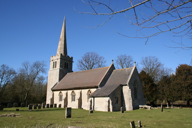
The history of Manor House Plantation dates back several centuries, with the manor house itself being a notable landmark. The house, built in a traditional architectural style, stands as a testament to the area's rich heritage. It has witnessed numerous historical events and has been preserved to showcase its original grandeur.
Visitors can explore the plantation through various walking trails and paths, immersing themselves in the natural surroundings. There are picnic areas and benches strategically placed throughout the plantation, allowing visitors to take a break and enjoy a packed lunch amidst the serenity.
Manor House Plantation also offers guided tours, providing visitors with insights into the history, ecology, and conservation efforts of the area. Educational programs and workshops are organized for children, aiming to instill an appreciation for nature and wildlife.
Overall, Manor House Plantation in Lincolnshire is a captivating destination that combines natural beauty with historical significance, making it a must-visit for nature lovers and history enthusiasts alike.
If you have any feedback on the listing, please let us know in the comments section below.
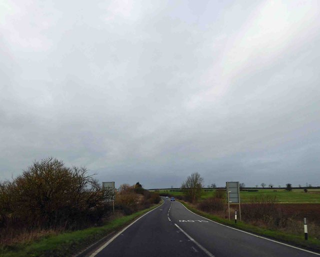
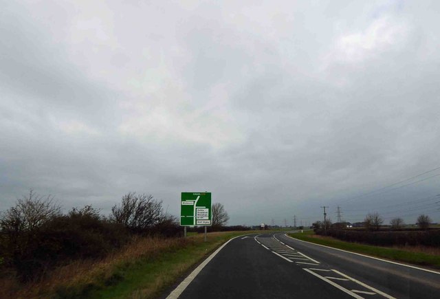
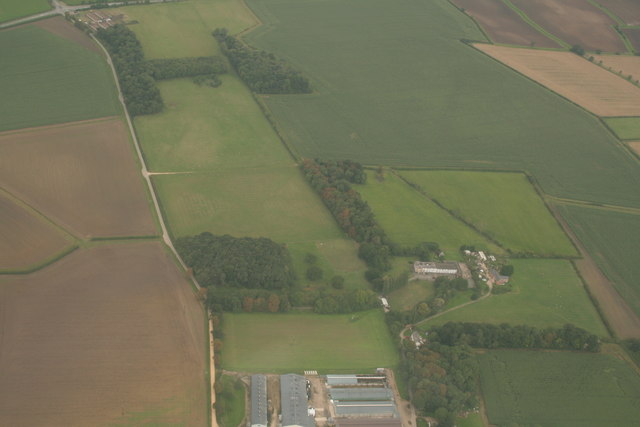
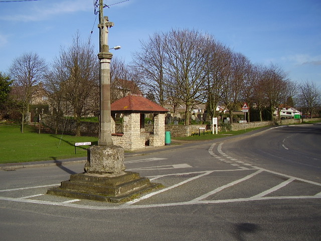
Manor House Plantation Images
Images are sourced within 2km of 53.055189/-0.44063287 or Grid Reference TF0452. Thanks to Geograph Open Source API. All images are credited.


Manor House Plantation is located at Grid Ref: TF0452 (Lat: 53.055189, Lng: -0.44063287)
Administrative County: Lincolnshire
District: North Kesteven
Police Authority: Lincolnshire
What 3 Words
///disprove.napkins.flow. Near Cranwell, Lincolnshire
Nearby Locations
Related Wikis

Ashby de la Launde and Bloxholm
Ashby de la Launde and Bloxholm is a civil parish in the North Kesteven district of Lincolnshire, England. According to the 2001 Census it had a population...

Bloxholm
Bloxholm is a hamlet, and part of the civil parish of Ashby de la Launde and Bloxholm, in the North Kesteven district of Lincolnshire, England. It is situated...
Cranwell
Cranwell is a village in the North Kesteven district of Lincolnshire, England. It is part of the civil parish of Cranwell and Byard's Leap and is situated...
Ashby de la Launde
Ashby de la Launde is a small village, part of the civil parish of Ashby de la Launde and Bloxholm, in the North Kesteven district of Lincolnshire, England...

Brauncewell
Brauncewell is a hamlet and former civil parish in the North Kesteven district of Lincolnshire, England. From the census 2011 the population is included...

Dorrington, Lincolnshire
Dorrington is a village and civil parish in the North Kesteven district of Lincolnshire, England. It is situated 1.2 miles (2 km) both south from Digby...

Leasingham
Leasingham is a village and civil parish in the North Kesteven district of Lincolnshire, England. It is situated less than 2 miles (3 km) north from Sleaford...
Deanery of Lafford
The Deanery of Lafford is an historic deanery in the Anglican Diocese of Lincoln in England. Located around the market town of Sleaford, it covers an area...
Nearby Amenities
Located within 500m of 53.055189,-0.44063287Have you been to Manor House Plantation?
Leave your review of Manor House Plantation below (or comments, questions and feedback).