Oak Holt
Wood, Forest in Lincolnshire North Kesteven
England
Oak Holt
Oak Holt is a small village located in the county of Lincolnshire, in the East Midlands region of England. Situated amidst a picturesque landscape, Oak Holt is known for its abundant oak trees, which have given the village its name. It is surrounded by lush greenery and is often referred to as a woodland or forest area.
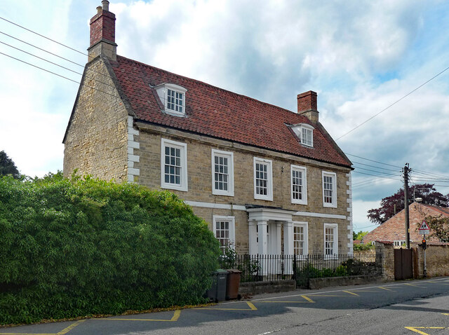
The village itself is quaint and peaceful, with a population of approximately 500 residents. It is characterized by its traditional architecture, with many houses built using local materials such as limestone and brick. The village center consists of a few shops, a post office, and a village hall, which serves as a gathering place for community events.
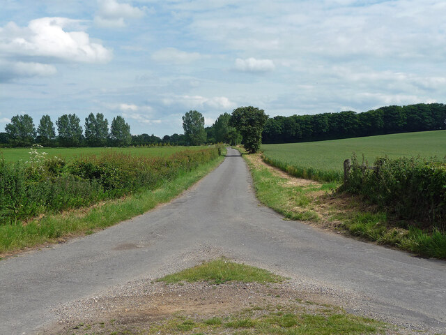
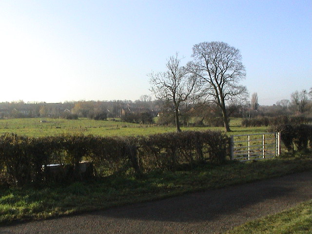
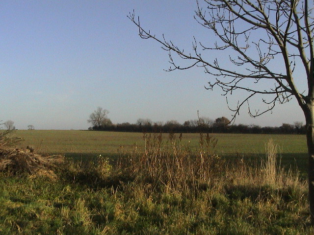
Oak Holt is a haven for nature lovers and outdoor enthusiasts. The surrounding forest offers numerous walking trails that wind through the woodlands, providing breathtaking views of the countryside. The oak trees dominate the landscape, providing shade and habitats for a variety of flora and fauna.
The village is also known for its rich history, with evidence of human settlement dating back to the Roman era. The remains of an ancient Roman road can still be seen in the area, serving as a reminder of the village's past.
Overall, Oak Holt is a charming and idyllic village, perfect for those seeking a peaceful retreat surrounded by nature. Its stunning woodland scenery, combined with its historical significance, make it a unique destination for visitors and a cherished home for its residents.
If you have any feedback on the listing, please let us know in the comments section below.
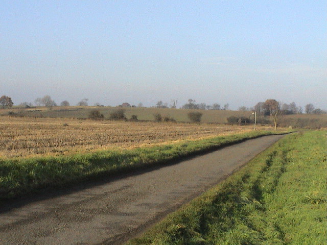
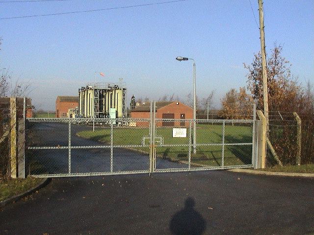
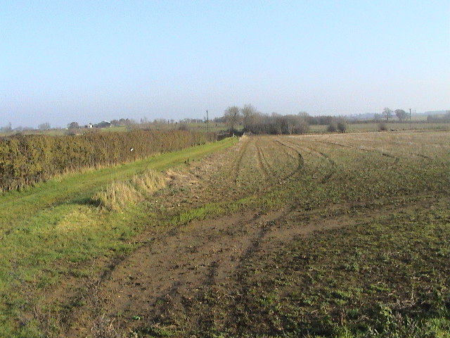
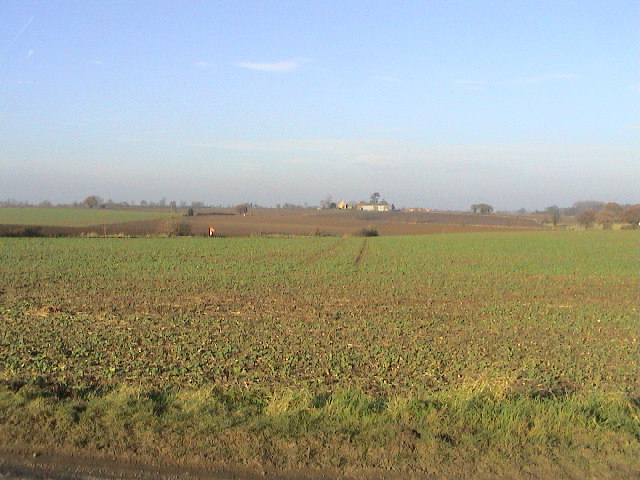
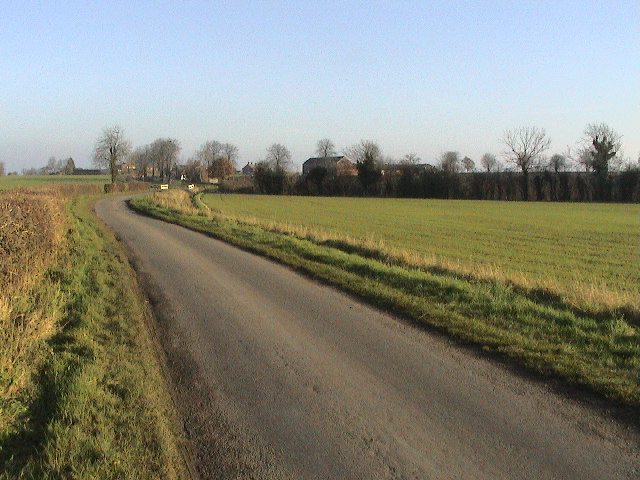
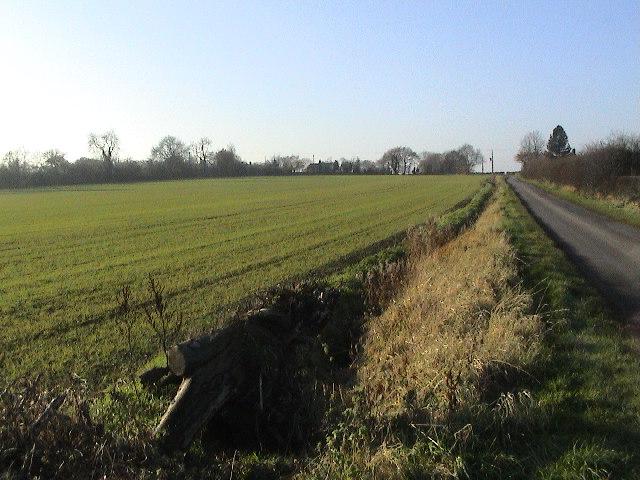
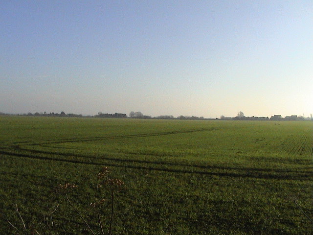
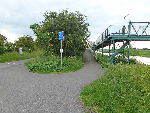
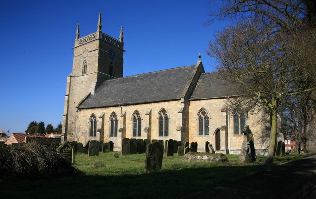
Oak Holt Images
Images are sourced within 2km of 53.210568/-0.43499693 or Grid Reference TF0469. Thanks to Geograph Open Source API. All images are credited.


Oak Holt is located at Grid Ref: TF0469 (Lat: 53.210568, Lng: -0.43499693)
Administrative County: Lincolnshire
District: North Kesteven
Police Authority: Lincolnshire
What 3 Words
///guitars.butlers.unloads. Near Heighington, Lincolnshire
Nearby Locations
Related Wikis

Heighington, Lincolnshire
Heighington ( HAY-ing-tən) is a village and civil parish in the North Kesteven district of Lincolnshire, England. It is situated about 4 miles (6 km) south...
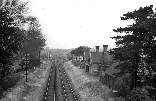
Branston and Heighington railway station
Branston and Heighington railway station was a station in the village of Heighington, Lincolnshire, on the line between Lincoln and Sleaford. == References ==

Branston Booths
Branston Booths is a small village in the North Kesteven district of Lincolnshire, England. The village is situated approximately 5 miles (8 km) east from...

Branston Community Academy
Branston Community Academy, (formerly Branston School and Community College) is a secondary school for 11- to 18-year-old students on Station Road in Branston...
Five Mile House railway station
Five Mile House was a railway station on the Lincolnshire Loop Line which served the village of Fiskerton in Lincolnshire between 1848 and 1964. Situated...

Fiskerton, Lincolnshire
Fiskerton is a village and civil parish in the West Lindsey district of Lincolnshire, England. The population of the civil parish at the 2011 census was...

Washingborough
Washingborough is a village in the North Kesteven district in Lincolnshire, England. Located 3 miles (5 km) east of Lincoln and 18 miles (29 km) from Sleaford...
Potterhanworth
Potterhanworth is a village and civil parish in the North Kesteven district of Lincolnshire, England. The population of the civil parish at the 2011 census...
Nearby Amenities
Located within 500m of 53.210568,-0.43499693Have you been to Oak Holt?
Leave your review of Oak Holt below (or comments, questions and feedback).