Brandon Village
Settlement in Durham
England
Brandon Village
Brandon Village is a charming rural community located in County Durham, England. Situated just a few miles southwest of Durham city, this village offers a tranquil and picturesque setting for its residents. With a population of around 3,000, Brandon Village maintains a close-knit community feel.
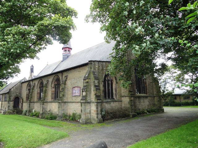
The village is known for its historical significance, dating back to the medieval era. The centerpiece of Brandon Village is the St. John the Baptist Church, a stunning Grade II listed building that dates back to the 13th century. This remarkable church showcases the village's rich heritage and attracts visitors from far and wide.
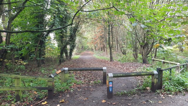
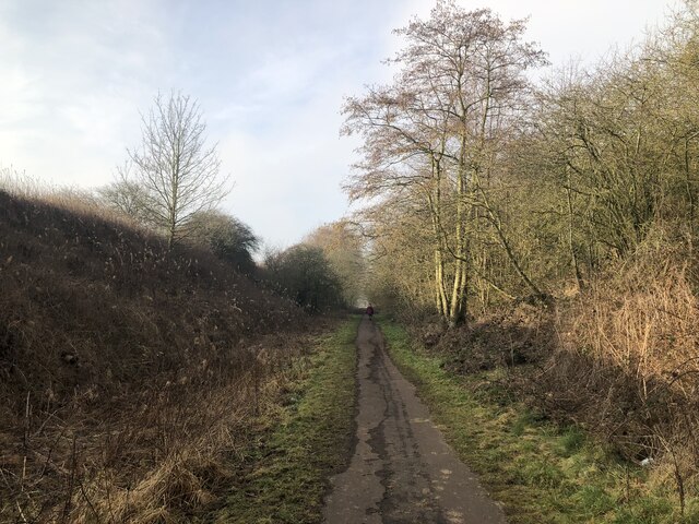
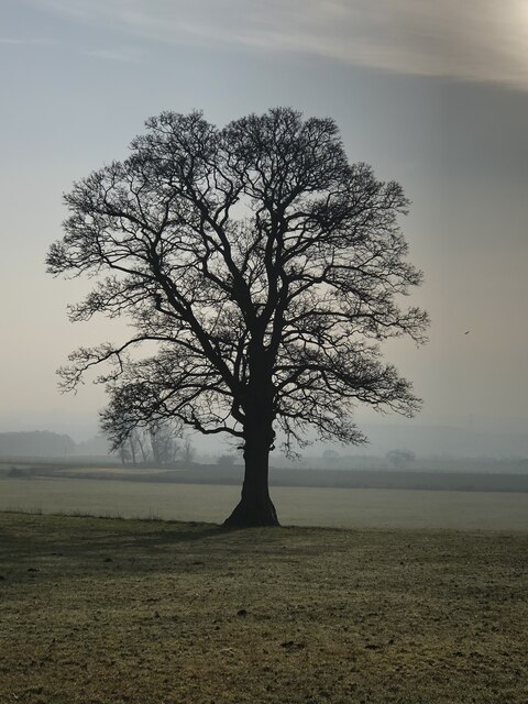
The village is surrounded by beautiful countryside, making it a popular destination for nature lovers and outdoor enthusiasts. The nearby Brandon Wood is a delightful spot for leisurely walks, offering breathtaking views of the surrounding landscapes and an abundance of wildlife.
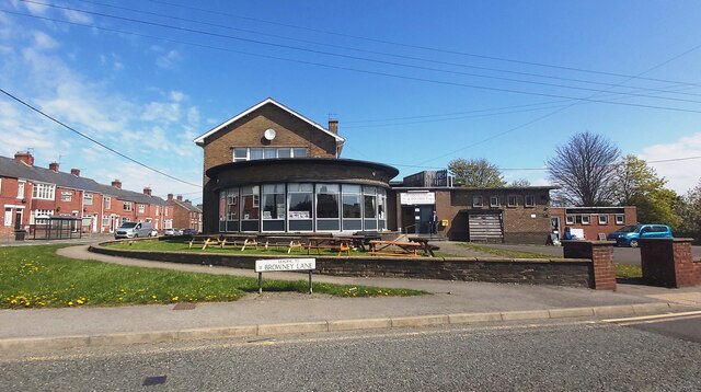
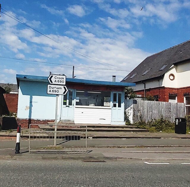
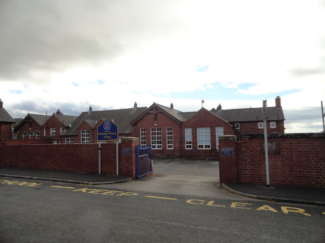
Brandon Village is well-equipped with essential amenities, including a primary school, village hall, and local shops, ensuring that residents have convenient access to everyday necessities. Additionally, there are several pubs and restaurants in the area, providing a cozy atmosphere for locals and visitors to socialize and enjoy traditional British cuisine.
Despite its rural charm, Brandon Village benefits from its proximity to Durham city. Residents have easy access to the city's amenities, including shopping centers, entertainment venues, and transportation links.
Overall, Brandon Village offers a peaceful and idyllic lifestyle for its residents, with a rich history, stunning natural surroundings, and convenient access to nearby urban centers.
If you have any feedback on the listing, please let us know in the comments section below.
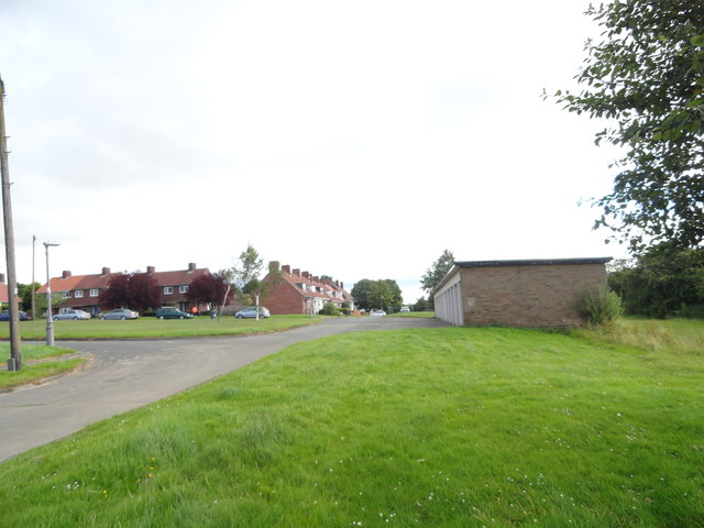
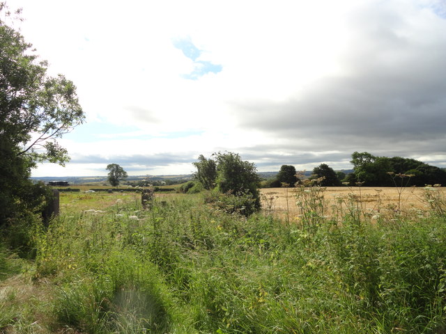
Brandon Village Images
Images are sourced within 2km of 54.755233/-1.6407496 or Grid Reference NZ2340. Thanks to Geograph Open Source API. All images are credited.


Brandon Village is located at Grid Ref: NZ2340 (Lat: 54.755233, Lng: -1.6407496)
Unitary Authority: County Durham
Police Authority: Durham
What 3 Words
///working.touchy.emporium. Near Brandon, Co. Durham
Nearby Locations
Related Wikis

Brandon United F.C.
Brandon United Football Club is a football club based in Brandon, County Durham, England. They are currently members of the Northern League Division Two...
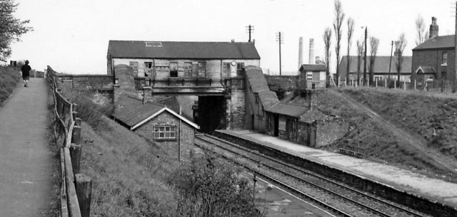
Brandon Colliery railway station
Brandon Colliery railway station served the village of Brandon, County Durham, England from 1861 to 1964 on the Durham to Bishop Auckland Line. == History... ==
Brandon, County Durham
Brandon is a village in County Durham, England. It is situated a short distance to the southwest of Durham. Brandon was originally one of the seven townships...
Brandon and Byshottles
Brandon and Byshottles is a civil parish and electoral ward in County Durham, England. According to the 2001 census it had a population of 17,774 increasing...

New Brancepeth
New Brancepeth is a village in County Durham, in England. It is about 3 miles (5 km) west of the centre of Durham, above the River Deerness. Its population...

Meadowfield
Meadowfield is a small village in County Durham, England, situated approximately two miles south-west of Durham on the A690. It is situated within the...
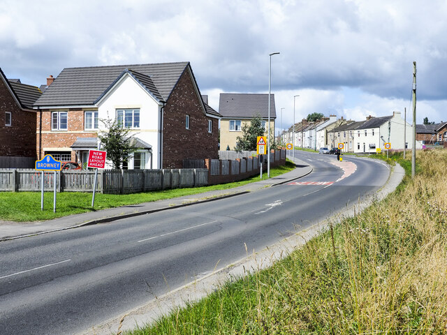
Browney
Browney is a village in County Durham, England. It is situated to the south-west of Durham and adjoins Meadowfield. It is part of the parish of Brandon...
Broompark
Broompark is a village in County Durham, England. It is situated some 3 miles (4.8 km) west of Durham city. It was once the site of the Broompark colliery...
Nearby Amenities
Located within 500m of 54.755233,-1.6407496Have you been to Brandon Village?
Leave your review of Brandon Village below (or comments, questions and feedback).