Brandwood

Settlement in Lancashire Rossendale

England

Brandwood

OS Benchmark locator Newchurch Old Rd Benchmark locator on a stone now used as a step down onto Newchurch Old Road, Bacup.
I assume this would have been located in the wall of the old road originally.
OS Benchmark locator Newchurch Old Rd Credit: Phill

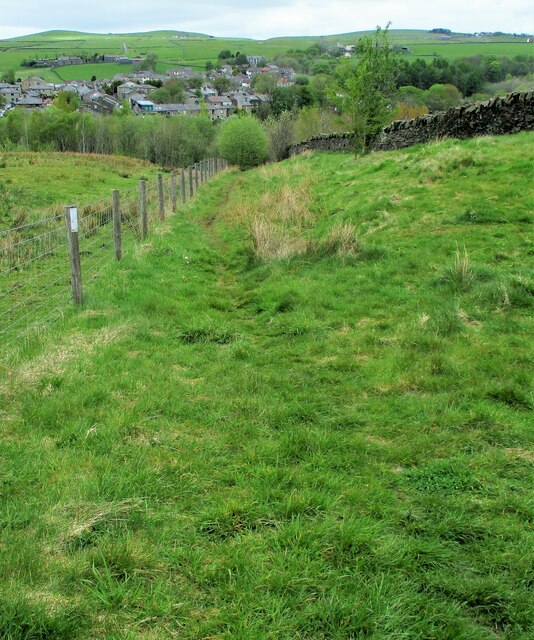
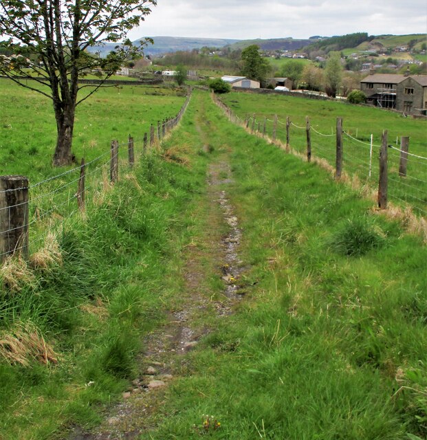
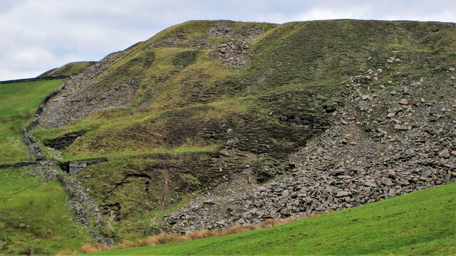
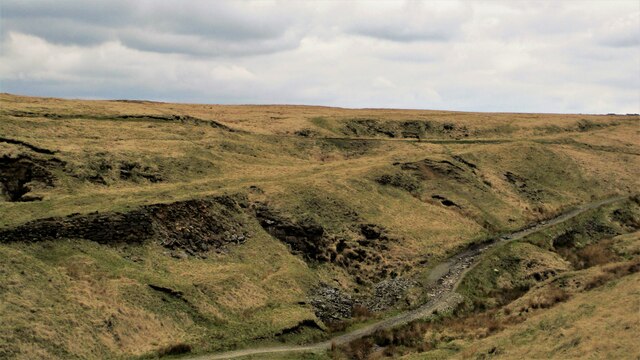
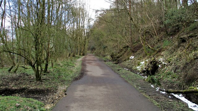
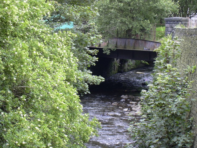
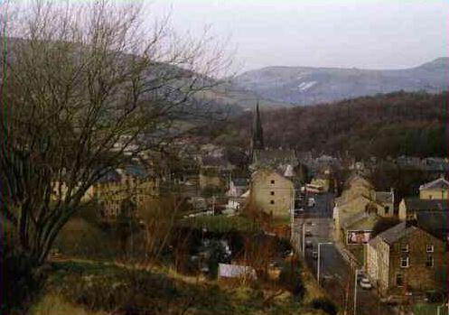
Brandwood is a small village located in Lancashire, England. It is situated in the North West of England, near the town of Burnley. The village is known for its picturesque surroundings, with rolling green hills and charming stone buildings.

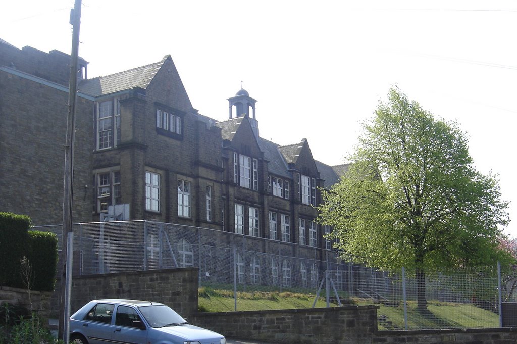
Brandwood has a population of around 500 residents and is a close-knit community. The village has a primary school, a church, and a few small shops and businesses. The village is surrounded by beautiful countryside, making it a popular destination for hikers and nature lovers.

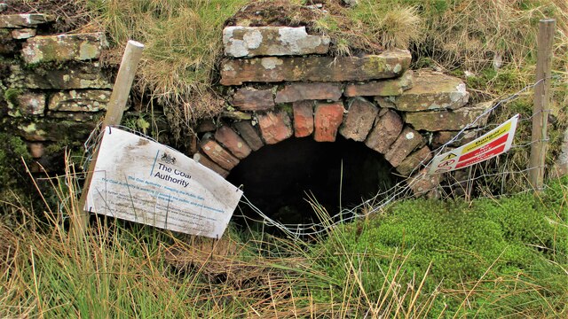
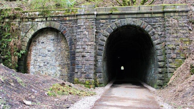
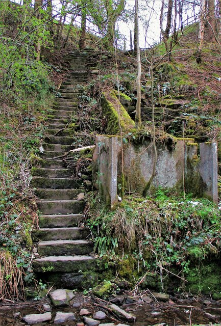
The history of Brandwood dates back to medieval times, and there are several historic buildings in the village that reflect its long past. The village has a strong sense of community spirit, with residents coming together for events and celebrations throughout the year.

Overall, Brandwood is a peaceful and idyllic village that offers a quiet and tranquil way of life. It is a perfect place for those looking to escape the hustle and bustle of city life and enjoy the beauty of the English countryside.

If you have any feedback on the listing, please let us know in the comments section below.
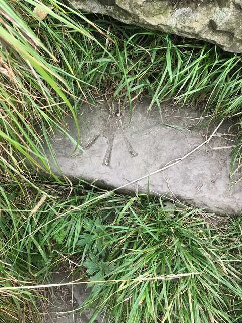
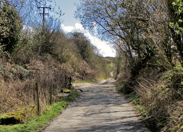
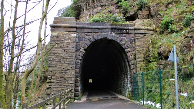
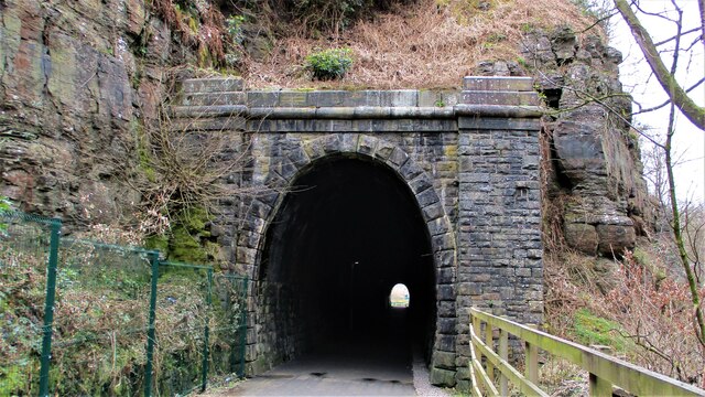
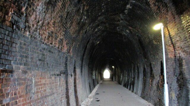
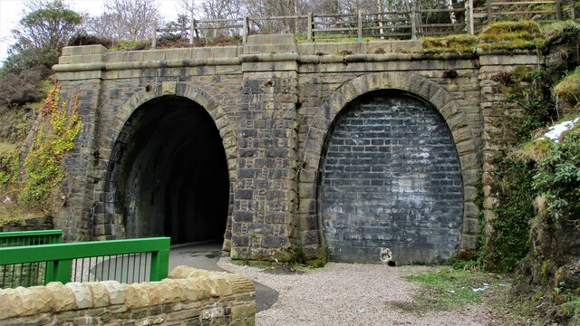
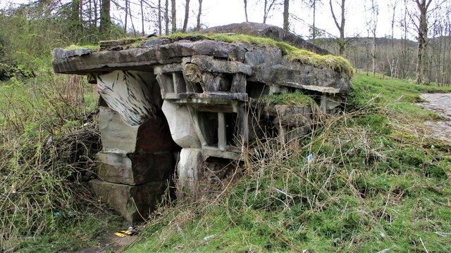
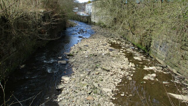
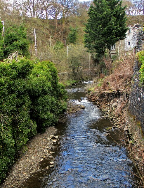
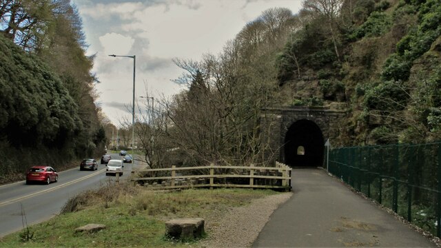
Brandwood Images

Images are sourced within 2km of 53.691789/-2.233143 or Grid Reference SD8421. Thanks to Geograph Open Source API. All images are credited.

OS Benchmark locator Newchurch Old Rd Benchmark locator on a stone now used as a step down onto Newchurch Old Road, Bacup.
I assume this would have been located in the wall of the old road originally.
OS Benchmark locator Newchurch Old Rd
Benchmark locator on a stone now used as a step down onto Newchurch Old Road, Bacup. I assume this would have been located in the wall of the old road originally.
Former Trackbed of Lee Quarry Tramway Incline View up the incline of about half mile towards Lee Quarry
Former Trackbed of Lee Quarry Tramway Incline
View up the incline of about half mile towards Lee Quarry
Former Trackbed of Quarry Railway Incline Land reclamation has obscured the actual trackbed that went steeply down to Siddalls Sidings just East of Stacksteads Station.
Former Trackbed of Quarry Railway Incline
Land reclamation has obscured the actual trackbed that went steeply down to Siddalls Sidings just East of Stacksteads Station.
Former Trackbed of Quarry Railway This section of Siddalls quarry railways ran from Law Head to Greens. Law Head is in the distance in this view.
Former Trackbed of Quarry Railway
This section of Siddalls quarry railways ran from Law Head to Greens. Law Head is in the distance in this view.
Former Railway Routes serving Greens Moor Quarry View across Greens Clough which is filled with quarry spoil but two former trackbeds with stone embankments are apparent.
Former Railway Routes serving Greens Moor Quarry
View across Greens Clough which is filled with quarry spoil but two former trackbeds with stone embankments are apparent.
Former Trackbed of Quarry Railway in Greens Clough Route of Siddalls Quarry railway heading South to Hall Cowm and Back Cowm Quarries plus various mines.
Former Trackbed of Quarry Railway in Greens Clough
Route of Siddalls Quarry railway heading South to Hall Cowm and Back Cowm Quarries plus various mines.
Helm Clough Colliery Remains Coal Authority notices keeping you safe at an entrance
Helm Clough Colliery Remains
Coal Authority notices keeping you safe at an entrance
Cyclepath through Newchurch No.2 Tunnel View West on newly laid cyclepath with the blocked Thrutch Tunnel to the left
Cyclepath through Newchurch No.2 Tunnel
View West on newly laid cyclepath with the blocked Thrutch Tunnel to the left
Cyclepath through Newchurch No.2 Tunnel The West portal of the railway tunnel
Cyclepath through Newchurch No.2 Tunnel
The West portal of the railway tunnel
Cyclepath through Newchurch No.1 Tunnel View West through the tunnel
Cyclepath through Newchurch No.1 Tunnel
View West through the tunnel
Cyclepath inside Newchurch No.1 Tunnel View East through the tunnel, with lighting provision
Cyclepath inside Newchurch No.1 Tunnel
View East through the tunnel, with lighting provision
Cyclepath West entrance to Newchurch No.1 Tunnel New footbridge across River Irwell allows easy access. Blocked Thrutch tunnel to the right.
Cyclepath West entrance to Newchurch No.1 Tunnel
New footbridge across River Irwell allows easy access. Blocked Thrutch tunnel to the right.
Sculpture on the Irwell Trail Spaces 9XXXV94 by Petre Nikoloski. Near to St. Michaels Countryside Centre
Sculpture on the Irwell Trail
Spaces 9XXXV94 by Petre Nikoloski. Near to St. Michaels Countryside Centre
River Irwell from Holt Mill Road Bridge The river meandering West confined by substantial walling
River Irwell from Holt Mill Road Bridge
The river meandering West confined by substantial walling
River Irwell coming out of The Glen View of the river from the new footbridge on the Newchurch tunnel cyclepath
River Irwell coming out of The Glen
View of the river from the new footbridge on the Newchurch tunnel cyclepath
Road, River & Railway in The Glen The A681 Newchurch Road, the River Irwell in a culvert and the West portal of Newchurch No.2 tunnel all squeezed together
Road, River & Railway in The Glen
The A681 Newchurch Road, the River Irwell in a culvert and the West portal of Newchurch No.2 tunnel all squeezed together
Cyclepath East of Thrutch Tunnel Cyclepath view East along former railway towards Bacup. It is contoured in the hillside above the River Irwell at this point
Cyclepath East of Thrutch Tunnel
Cyclepath view East along former railway towards Bacup. It is contoured in the hillside above the River Irwell at this point
Steps in Railway Cutting near Waterbarn Mill The railway presumably had hillside water drainage problems and needed to climb out of the cutting. Old OS maps have a tank marked about here.
Steps in Railway Cutting near Waterbarn Mill
The railway presumably had hillside water drainage problems and needed to climb out of the cutting. Old OS maps have a tank marked about here.
Show me another place!

Brandwood is located at Grid Ref: SD8421 (Lat: 53.691789, Lng: -2.233143)

Administrative County: Lancashire

District: Rossendale

Police Authority: Lancashire

What 3 Words

///mason.backtrack.conned. Near Bacup, Lancashire

Related Wikis

Stacksteads railway station

Stacksteads railway station served Stacksteads near Bacup, Rossendale, Lancashire, England from 1852 until the line closed in 1966. The station was just...

Stacksteads

Stacksteads is a village between the towns of Bacup and Waterfoot within the Rossendale borough of Lancashire, England. The population of this Rossendale...

Bacup and Rawtenstall Grammar School

Bacup and Rawtenstall Grammar School (BRGS) is a selective co-educational academy grammar school in Waterfoot, Rossendale, Lancashire, England. The school...

Waterfoot, Lancashire

Waterfoot is a historic mill town and civil parish in the Borough of Rossendale between Rawtenstall and Bacup in Lancashire, England. The B6238 road from...

Nearby Amenities

Located within 500m of 53.691789,-2.233143
Stacksteads
Place: village
Source: npe
Lat/Long: 53.6927052/-2.2258838
Nun Hills
Place: hamlet
Source: npe
Lat/Long: 53.6892079/-2.2285068
Rake Head
Place: hamlet
Source: npe
Lat/Long: 53.6894022/-2.2379301
Crossing
Crossing: marked
Crossing Island: no
Kerb: lowered
Tactile Paving: yes
Lat/Long: 53.6911502/-2.240258
Crossing: informal
Lat/Long: 53.691988/-2.235982
Turning Circle
Lat/Long: 53.6931792/-2.2277193
Power: pole
Lat/Long: 53.6874788/-2.2340246
Power: pole
Lat/Long: 53.687615/-2.2326602
Power: pole
Lat/Long: 53.6877303/-2.2314746
Power: pole
Lat/Long: 53.687921/-2.2295315
The data included in this document is from www.openstreetmap.org. The data is made available under ODbL.

Have you been to Brandwood?

Leave your review of Brandwood below (or comments, questions and feedback).