Brandon
Settlement in Northumberland
England
Brandon

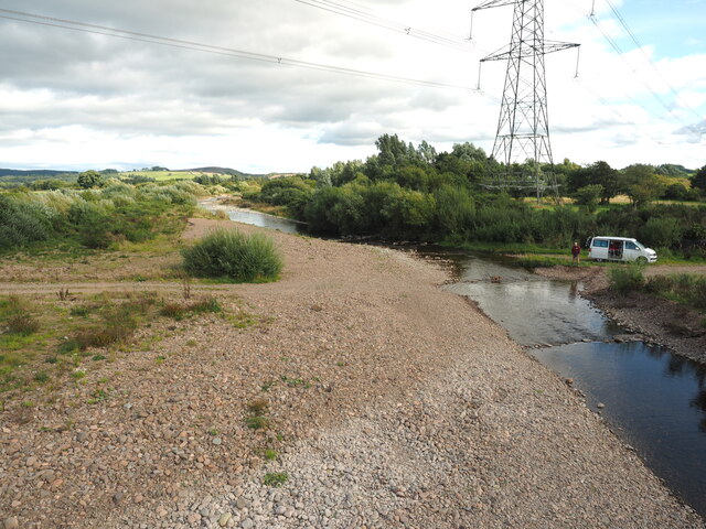
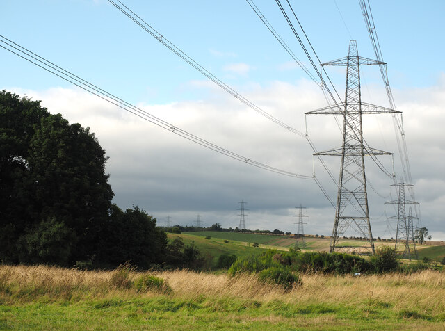
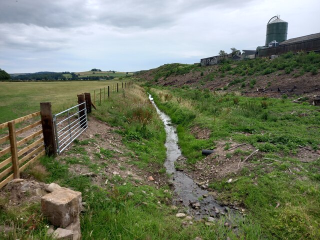
Brandon is a small village located in the county of Northumberland, in the northern part of England. It is situated near the River North Tyne, approximately 10 miles west of Hexham and around 30 miles northwest of Newcastle upon Tyne. The village is nestled within the picturesque Northumberland National Park, surrounded by stunning countryside and rolling hills.
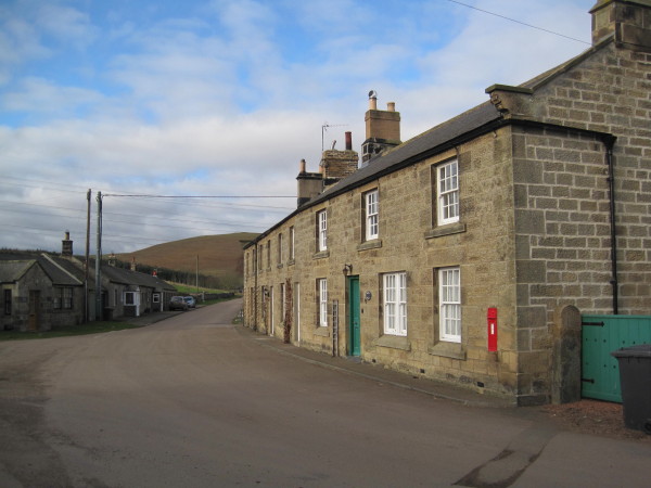
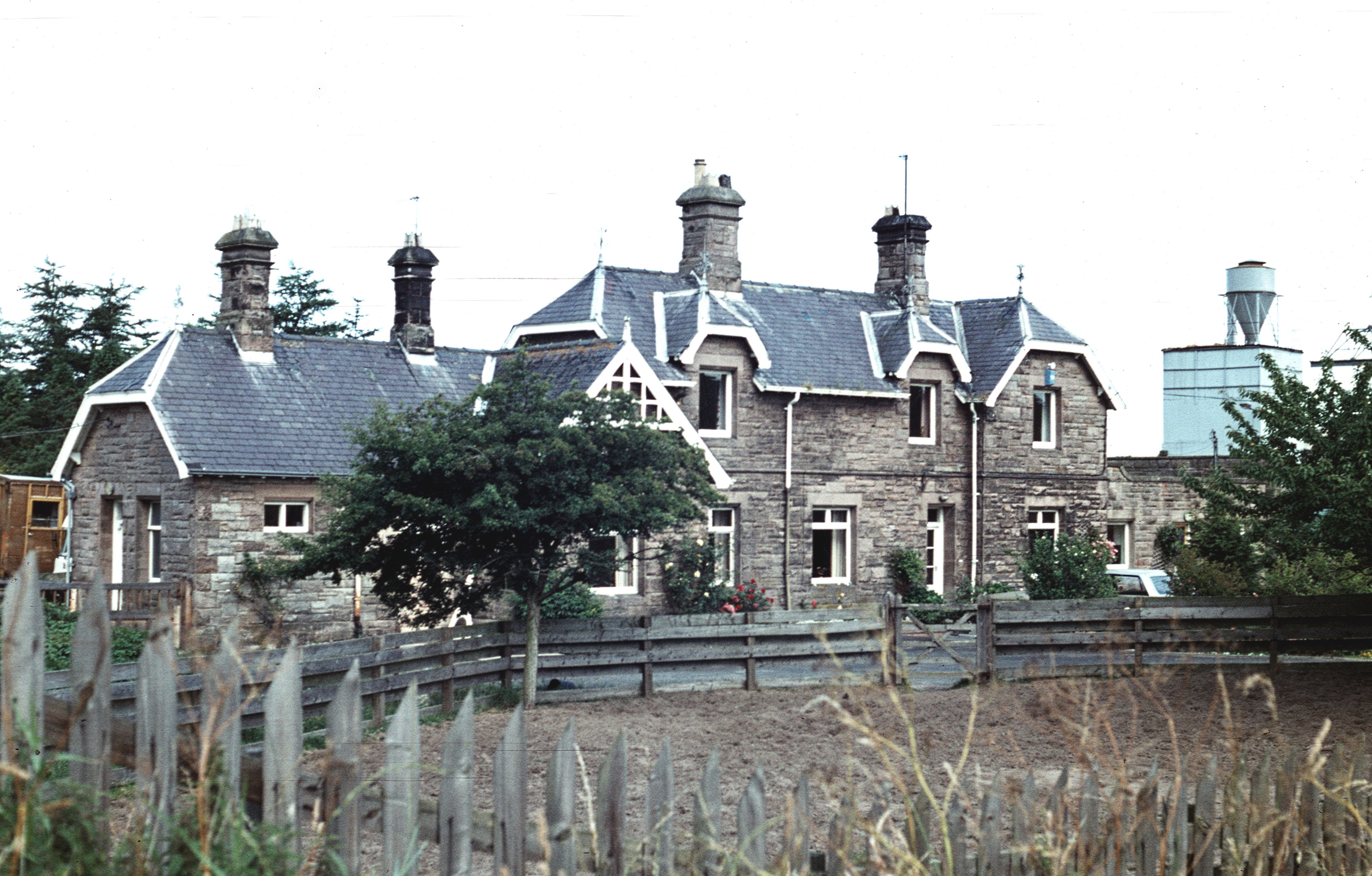
Historically, Brandon was an agricultural community, with farming being the primary occupation of its residents. Today, it remains a peaceful and close-knit village with a population of around 300 people. The village is characterized by its charming stone-built houses and traditional architecture, giving it a quaint and timeless feel.
Despite its small size, Brandon offers a range of amenities and facilities for its residents. These include a primary school, a village hall, and a local pub, which serves as a social hub for the community. The village also benefits from its proximity to larger towns such as Hexham, where residents can access a wider range of services and amenities.
One of the main attractions in the area is the Northumberland National Park, which surrounds Brandon. Here, visitors can explore vast stretches of unspoiled landscapes, including moorlands, forests, and ancient ruins. The park offers a plethora of outdoor activities, such as hiking, cycling, and wildlife spotting.
In summary, Brandon is a charming and peaceful village situated in the heart of Northumberland. With its beautiful surroundings and strong sense of community, it offers a tranquil and idyllic place to live or visit.
If you have any feedback on the listing, please let us know in the comments section below.
Brandon Images
Images are sourced within 2km of 55.448038/-1.9359938 or Grid Reference NU0417. Thanks to Geograph Open Source API. All images are credited.


Brandon is located at Grid Ref: NU0417 (Lat: 55.448038, Lng: -1.9359938)
Unitary Authority: Northumberland
Police Authority: Northumbria
What 3 Words
///jumped.soups.admires. Near Whittingham, Northumberland
Nearby Locations
Related Wikis

Brandon, Northumberland
Brandon is a village and former civil parish, now in the parish of Ingram, in Northumberland, in England. It is about 9 miles (14 km) north-west of Alnwick...
Branton, Northumberland
Branton is a village and former civil parish, now in the parish of Ingram, in Northumberland, England. It is about 9 miles (14 km) west of Alnwick. In...
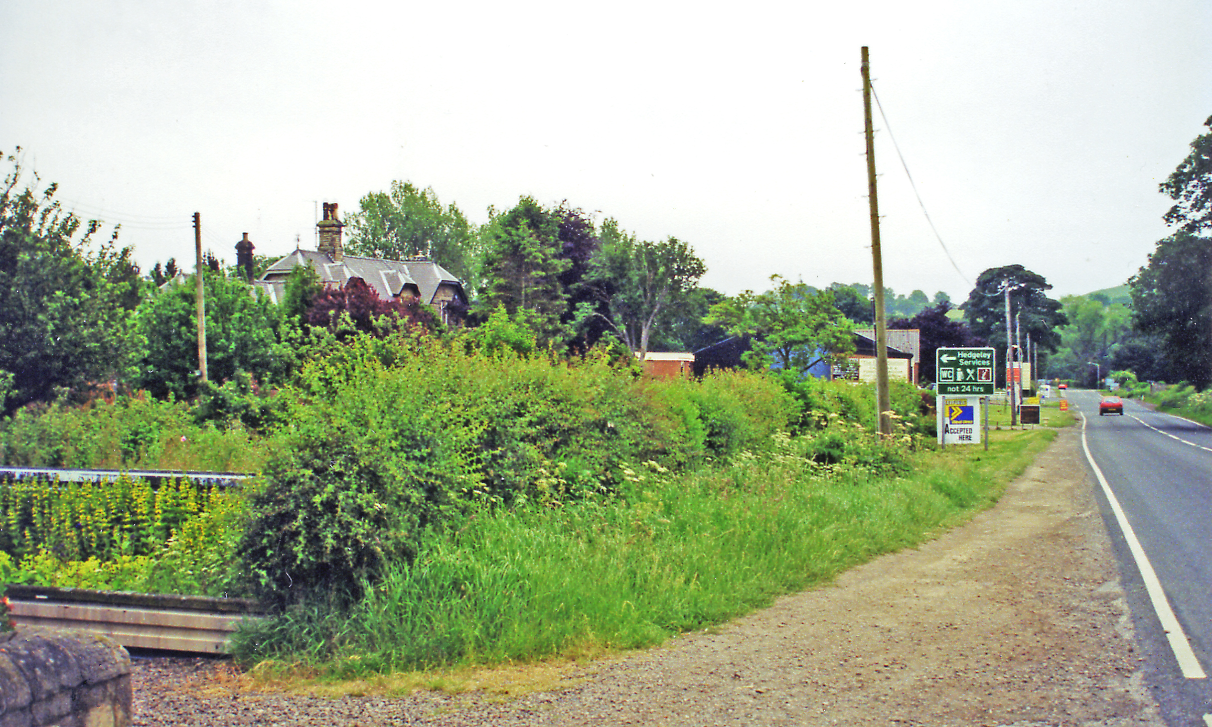
Hedgeley railway station
Hedgeley railway station served the area of Hedgeley, Northumberland, England from 1887 to 1953 on the Cornhill Branch. == History == The station opened...
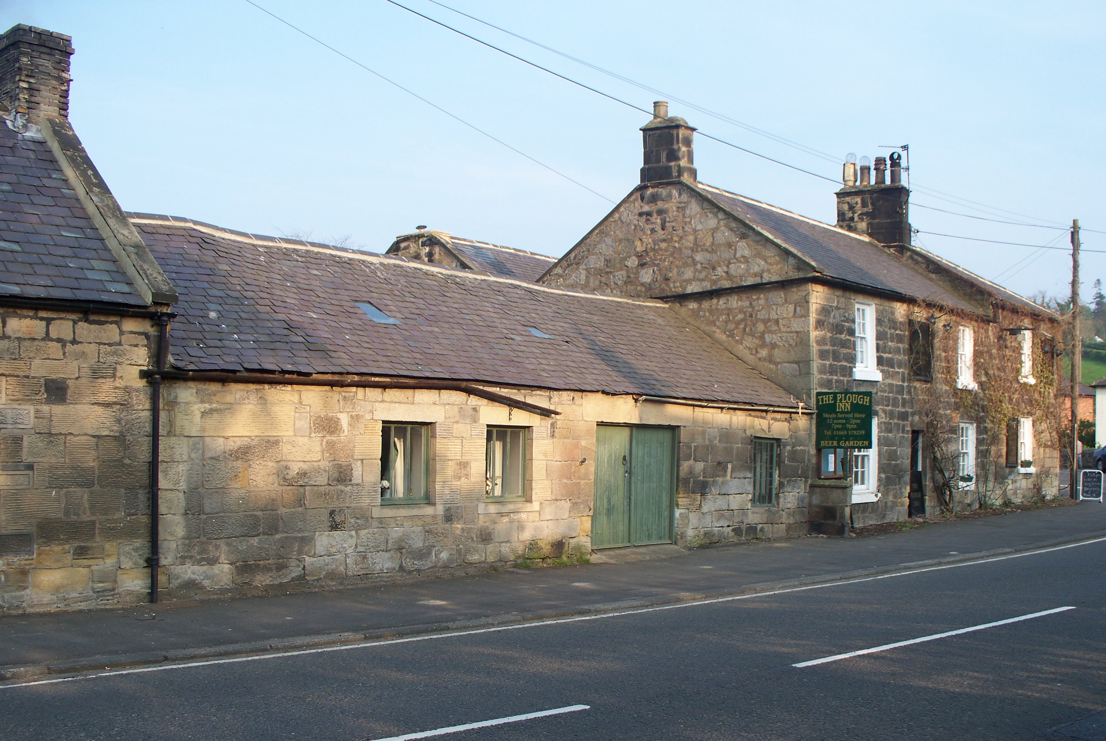
Powburn
Powburn is a small village on the A697 in Northumberland, England about 8 miles (13 km) south of Wooler and 10 miles (16 km) northwest of Alnwick. ��2...

Battle of Hedgeley Moor
The Battle of Hedgeley Moor, 25 April 1464, was a battle of the Wars of the Roses. It was fought at Hedgeley Moor, north of the villages of Glanton and...
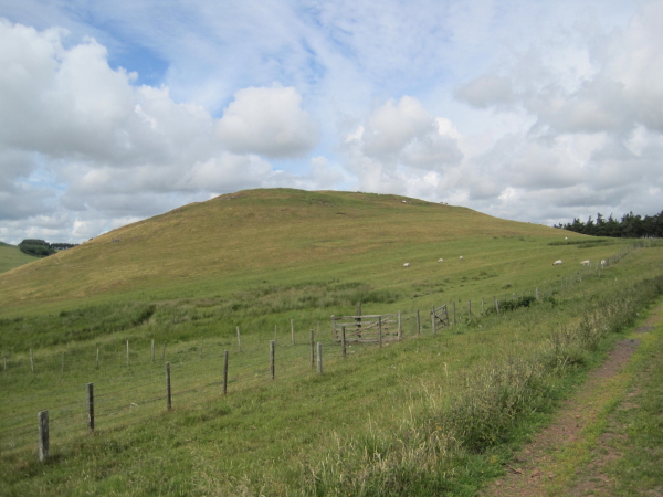
Castle Knowe, Northumberland
Castle Knowe, also known as Clinch Castle, is the site of an Iron Age hillfort in Northumberland, England, about 1 mile south-east of the village of Ingram...
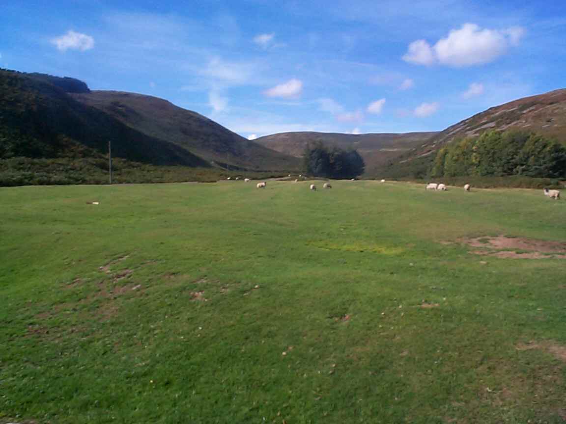
Ingram, Northumberland
Ingram is a small village and civil parish in Northumberland, England. It is located in the Cheviots on the River Breamish, and on the edge of Northumberland...
Wooperton railway station
Wooperton railway station served the hamlet of Wooperton, Roddam, Northumberland, England from 1887 to 1954 on the Cornhill Branch. == History == The station...
Nearby Amenities
Located within 500m of 55.448038,-1.9359938Have you been to Brandon?
Leave your review of Brandon below (or comments, questions and feedback).