Brandfold

Settlement in Kent Tunbridge Wells

England

Brandfold

Bethany School Chapel High Victorian brick decoration, and lovely cedar tree.
This was the village chapel, built for Baptists in 1878 for £700 by Miles Tully to the design of W. Theobalds
Additional information supplied by another Geograph member, September 2014.
Bethany School Chapel Credit: Jonathan Billinger

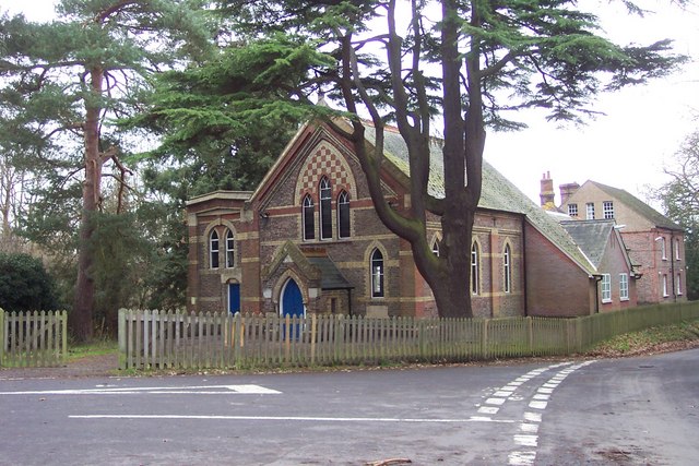
Brandfold is a small village located in the Weald of Kent, England. Situated approximately 6 miles to the southeast of Royal Tunbridge Wells, it falls within the borough of Tunbridge Wells. The village is nestled amidst picturesque countryside and offers a tranquil and idyllic setting.

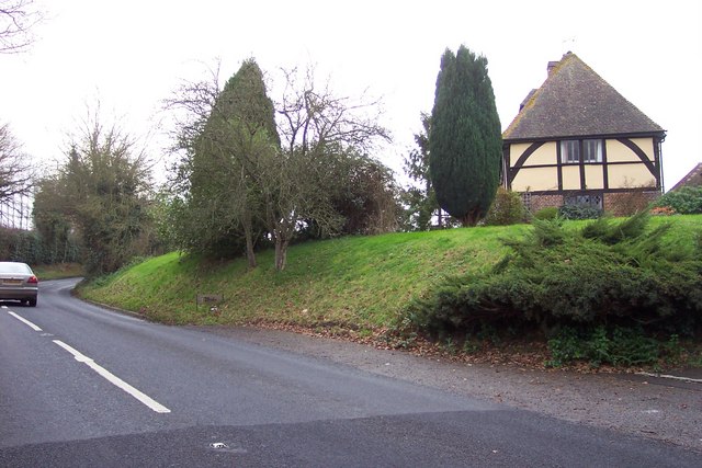
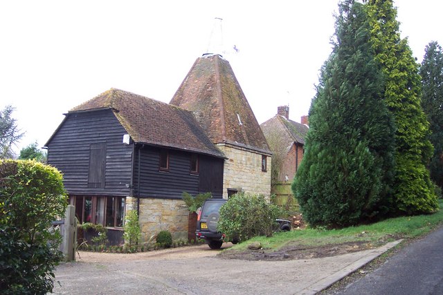
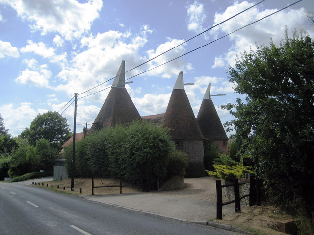
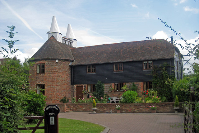
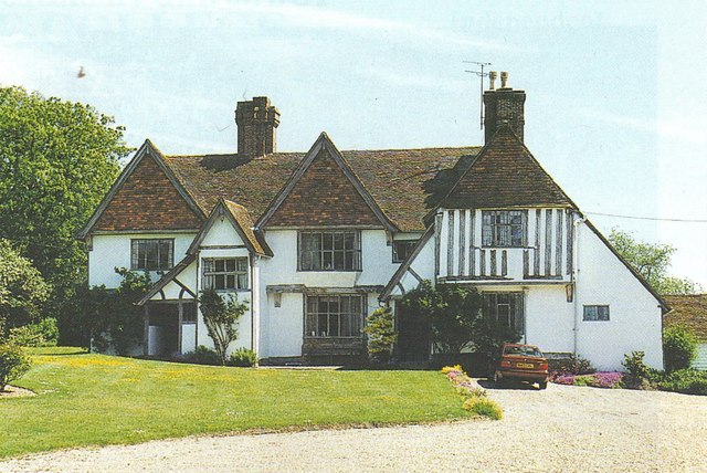
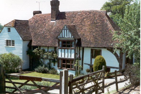
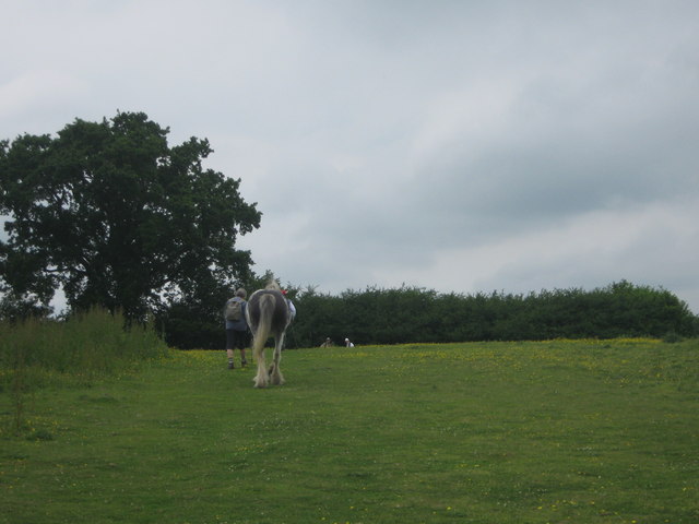
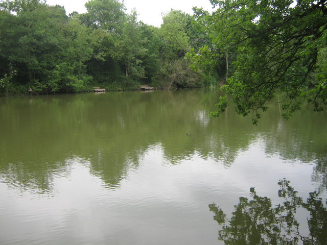
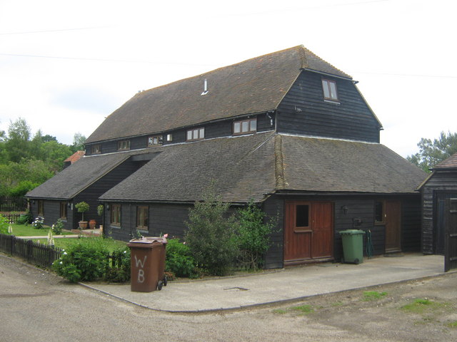
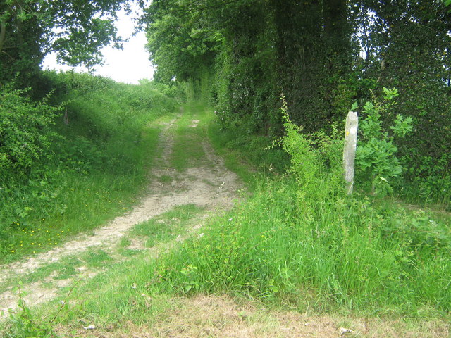
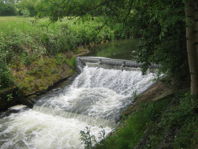
Brandfold is known for its charming and traditional character, with a scattering of characterful cottages and historic buildings adding to its appeal. The village is surrounded by verdant farmland and woodland, providing ample opportunities for countryside walks and outdoor activities.

Despite its small size, Brandfold is well-served by amenities. The village boasts a local pub, The Brandfold Swan, which is popular among locals and visitors alike. Additionally, residents have easy access to the nearby town of Royal Tunbridge Wells, where they can find a wider range of services, shops, and leisure facilities.

For those seeking cultural experiences, Brandfold is within close proximity to a number of notable attractions. The renowned Scotney Castle, a 14th-century moated castle and beautiful landscaped gardens, is just a short drive away. Additionally, the picturesque Bewl Water, a large reservoir offering sailing, fishing, and walking opportunities, is also nearby.

Transport links in Brandfold are convenient, with easy access to major roads such as the A21 and A264. The village is well-connected to surrounding towns and cities, making it a desirable location for commuters.

Overall, Brandfold offers a peaceful and picturesque setting, with a strong sense of community and easy access to both rural and urban amenities.

If you have any feedback on the listing, please let us know in the comments section below.
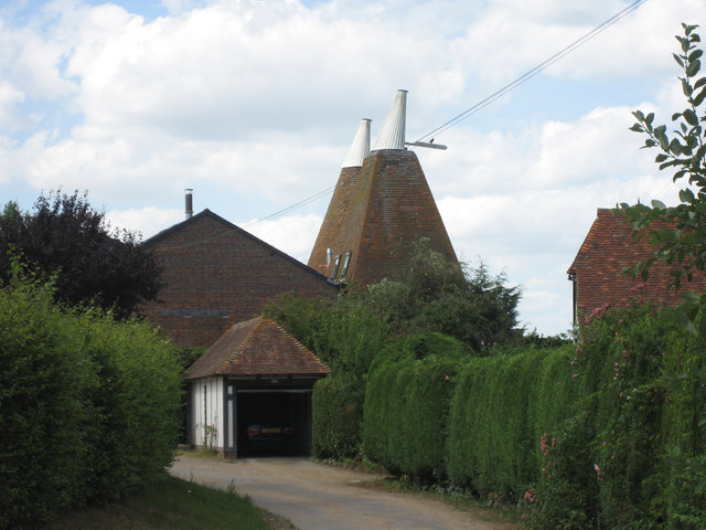
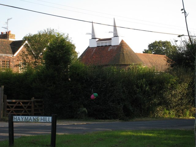
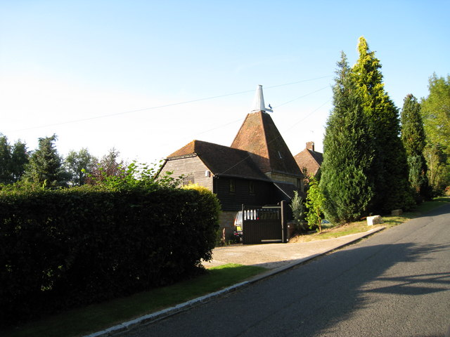
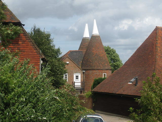
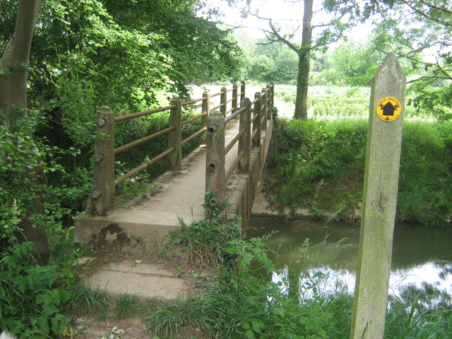
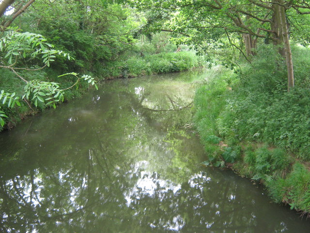
Brandfold Images

Images are sourced within 2km of 51.126028/0.46322283 or Grid Reference TQ7239. Thanks to Geograph Open Source API. All images are credited.

Bethany School Chapel High Victorian brick decoration, and lovely cedar tree.
This was the village chapel, built for Baptists in 1878 for £700 by Miles Tully to the design of W. Theobalds
Additional information supplied by another Geograph member, September 2014.
Bethany School Chapel
High Victorian brick decoration, and lovely cedar tree. This was the village chapel, built for Baptists in 1878 for £700 by Miles Tully to the design of W. Theobalds Additional information supplied by another Geograph member, September 2014.
Half-timbered house By the B2079 north of Goudhurst.
Half-timbered house
By the B2079 north of Goudhurst.
Oast Conversion on Grovehurst Lane
Harpers Oast, Summerhill, Goudhurst, Kent Two round and one square kilned oast house.
Harpers Oast, Summerhill, Goudhurst, Kent
Two round and one square kilned oast house.
Oast House An Oast House is a building used to dry fresh hops before they are sent to the brewers, to be used for flavouring beer. A traditional Oast House consists of the 'oast' and the 'stowage'. The oast was a kiln, with a plenum chamber fired by charcoal at ground floor and the drying floor directly above. The steep pitched roof channelled the hot air through the hops to the top. The stowage, was the barn section, it had a cooling floor and press at first floor and storage area at ground floor. Read more <a title="https://www.geograph.org.uk/article/Oast-Houses" href="https://www.geograph.org.uk/article/Oast-Houses">Link</a>
Oast House
An Oast House is a building used to dry fresh hops before they are sent to the brewers, to be used for flavouring beer. A traditional Oast House consists of the 'oast' and the 'stowage'. The oast was a kiln, with a plenum chamber fired by charcoal at ground floor and the drying floor directly above. The steep pitched roof channelled the hot air through the hops to the top. The stowage, was the barn section, it had a cooling floor and press at first floor and storage area at ground floor. Read more Link
Grovehurst Oast, Grovehurst Lane, Horsmonden, Kent
Crackhill Oast, Grovehurst Lane, Horsmonden, Kent Single square kiln oast house. Stone built walls. Large Invicta prancing horse to vane, unusually facing into the cowl.
Crackhill Oast, Grovehurst Lane, Horsmonden, Kent
Single square kiln oast house. Stone built walls. Large Invicta prancing horse to vane, unusually facing into the cowl.
Ash Oast, School House Lane, Horsmonden, Kent Twin round kiln oast house.
Ash Oast, School House Lane, Horsmonden, Kent
Twin round kiln oast house.
Grovehurst Oast, Grovehurst Lane, Horsmonden, Kent
Grovehurst: old "Clothmaster's Hall" Grovehurst is an old "Clothmaster's Hall" (partly Tudor) used as a residence,
office and warehouse when Kentish Broadcloth <span class="nowrap"><a title="http://en.wikipedia.org/wiki/Broadcloth" rel="nofollow ugc noopener" href="http://en.wikipedia.org/wiki/Broadcloth">Link</a><img style="margin-left:2px;" alt="External link" title="External link - shift click to open in new window" src="https://s1.geograph.org.uk/img/external.png" width="10" height="10"/></span> was being made here. See <a href="https://www.geograph.org.uk/photo/905847">TQ7139 : Broadford: an old "Clothmaster's Hall"</a> and <a href="https://www.geograph.org.uk/photo/917537">TQ7139 : The Weaver’s Cottage, Capel Cross</a>. It is said that Grovehurst's cellars, and secret passages leading from them, were used for contraband by the Hawkhurst Gang <span class="nowrap"><a title="http://en.wikipedia.org/wiki/Hawkhurst_Gang" rel="nofollow ugc noopener" href="http://en.wikipedia.org/wiki/Hawkhurst_Gang">Link</a><img style="margin-left:2px;" alt="External link" title="External link - shift click to open in new window" src="https://s1.geograph.org.uk/img/external.png" width="10" height="10"/></span> - see <a href="https://www.geograph.org.uk/photo/917487">TQ6940 : Gibbet Lane, Horsmonden, once the site of many a grisly execution</a>. The 'Grovehurst' name is probably derived from that of Henry de Grofhurst who, in the 14th century, was Rector of Horsmonden for fifty years and built the parish church, St Margaret's <a href="https://www.geograph.org.uk/photo/917323">TQ7038 : St Margaret’s church, parish of Horsmonden, and its history</a>.
Other snippets from Horsmonden's history at: <span class="nowrap"><a title="http://books.google.co.uk/books?id=2_ZstVBZSfIC&lpg=PA1&pg=PA99#v=onepage&q=&f=true" rel="nofollow ugc noopener" href="http://books.google.co.uk/books?id=2_ZstVBZSfIC&lpg=PA1&pg=PA99#v=onepage&q=&f=true">Link</a><img style="margin-left:2px;" alt="External link" title="External link - shift click to open in new window" src="https://s1.geograph.org.uk/img/external.png" width="10" height="10"/></span> . Also see Gallery at: <a title="https://www.geograph.org.uk/gallery/the_history_of_horsmonden_8738" href="https://www.geograph.org.uk/gallery/the_history_of_horsmonden_8738">Link</a>
Grovehurst: old "Clothmaster's Hall"
Grovehurst is an old "Clothmaster's Hall" (partly Tudor) used as a residence, office and warehouse when Kentish Broadcloth LinkExternal link was being made here. See TQ7139 : Broadford: an old "Clothmaster's Hall" and TQ7139 : The Weaver’s Cottage, Capel Cross. It is said that Grovehurst's cellars, and secret passages leading from them, were used for contraband by the Hawkhurst Gang LinkExternal link - see TQ6940 : Gibbet Lane, Horsmonden, once the site of many a grisly execution. The 'Grovehurst' name is probably derived from that of Henry de Grofhurst who, in the 14th century, was Rector of Horsmonden for fifty years and built the parish church, St Margaret's TQ7038 : St Margaret’s church, parish of Horsmonden, and its history. Other snippets from Horsmonden's history at: LinkExternal link . Also see Gallery at: Link
Old timbered house at Capel Cross, Horsmonden See the history of the village at: <span class="nowrap"><a title="http://books.google.co.uk/books?id=2_ZstVBZSfIC&lpg=PA1&pg=PA99#v=onepage&q=&f=true" rel="nofollow ugc noopener" href="http://books.google.co.uk/books?id=2_ZstVBZSfIC&lpg=PA1&pg=PA99#v=onepage&q=&f=true">Link</a><img style="margin-left:2px;" alt="External link" title="External link - shift click to open in new window" src="https://s1.geograph.org.uk/img/external.png" width="10" height="10"/></span> and the Gallery at: <a title="https://www.geograph.org.uk/gallery/the_history_of_horsmonden_8738" href="https://www.geograph.org.uk/gallery/the_history_of_horsmonden_8738">Link</a>
Old timbered house at Capel Cross, Horsmonden
See the history of the village at: LinkExternal link and the Gallery at: Link
Horse following walkers This large horse has followed these walkers up the hill on a footpath from Grovehurst Lane. Walkers will then go through stile in hedge into an orchard. Hopefully the horse won't follow!!
Horse following walkers
This large horse has followed these walkers up the hill on a footpath from Grovehurst Lane. Walkers will then go through stile in hedge into an orchard. Hopefully the horse won't follow!!
Fishing lake near Grovehurst Farm Large pond at junction of Grovehurst Lane and Hayman's Hill.
Fishing lake near Grovehurst Farm
Large pond at junction of Grovehurst Lane and Hayman's Hill.
Willow Barn Converted farm barn on access road from Grovehurst Lane. Near Grovehurst Hall (behind trees on left).
Willow Barn
Converted farm barn on access road from Grovehurst Lane. Near Grovehurst Hall (behind trees on left).
Footpath junction near Ash Farm A path heads straight on to Ash Farm and onto Grovehurst Road on a farm trackway.
Another path heads right going downhill to River Teise and onto B2079 Goudhurst Road, from Grovehurst Lane, near Grovehurst Farm.
Footpath junction near Ash Farm
A path heads straight on to Ash Farm and onto Grovehurst Road on a farm trackway. Another path heads right going downhill to River Teise and onto B2079 Goudhurst Road, from Grovehurst Lane, near Grovehurst Farm.
Waterfall on River Teise Close to a footpath from B2079 Goudhurst Road to Grovehurst Lane.
Waterfall on River Teise
Close to a footpath from B2079 Goudhurst Road to Grovehurst Lane.
Footbridge over River Teise This bridge is on a path from Grovehurst Lane, to the B2079 Goudhurst Road.
Footbridge over River Teise
This bridge is on a path from Grovehurst Lane, to the B2079 Goudhurst Road.
River Teise As seen from footbridge over this meandering river near Ash Farm.
River Teise
As seen from footbridge over this meandering river near Ash Farm.
Show me another place!

Brandfold is located at Grid Ref: TQ7239 (Lat: 51.126028, Lng: 0.46322283)

Administrative County: Kent

District: Tunbridge Wells

Police Authority: Kent

What 3 Words

///efficient.hotel.grab. Near Goudhurst, Kent

Nearby Locations

Brandfold

Related Wikis

The Gill

The Gill is a 12-hectare (30-acre) nature reserve north of Goudhurst in Kent, England. It is managed by the Kent Wildlife Trust.This site has been planted...

St Mary's Church, Goudhurst

St Mary's Church is a parish church in Goudhurst, Kent, England. It is a Grade I listed building. == Building == The church stands on a hill and its tower...

Capel Manor House

Capel Manor House is a small modern steel-framed private house in Horsmonden, in Kent in southern England. It was designed by Michael Manser for John Howard...

Goudhurst

Goudhurst is a village and civil parish in the borough of Tunbridge Wells in Kent, England. It lies in the Weald, around 12 miles (19 km) south of Maidstone...

Bethany School, Goudhurst

Bethany School is a private boarding and day school for girls and boys aged 11–18 (Year 7-11 and Sixth Form), in Goudhurst, Kent, United Kingdom. The school...

Horsmonden railway station

Horsmonden is a closed railway station on the closed Hawkhurst Branch in Kent, England. == Background == The station was opened on 1 October 1892, when...

St Margaret's Church, Horsmonden

St Margaret's Church is a parish church in the village of Horsmonden, Kent, England. It is a Grade I listed building. == Building == St Margaret's Church...

Curtisden Green

Curtisden Green is a hamlet, lying 3 miles (4.8 km) to the north of Goudhurst, Kent, England. It is the location of Bethany School. == References... ==

Nearby Amenities

Located within 500m of 51.126028,0.46322283
Bus Stop
Gore Court
Local Ref: opp
Naptan AtcoCode: 2400A004800A
Naptan Bearing: N
Naptan BusStopType: MKD
Naptan CommonName: Gore Court
Naptan Indicator: opp
Naptan Landmark: Gore Court
Naptan NaptanCode: kntagtdp
Naptan RevisionNumber: 3
Naptan Status: act
Naptan Street: Goudhurst Road
Naptan Verified: no
Public Transport: platform
Ref: kntagtdp
Source: naptan_import
Source Date: 2018-04-23
Lat/Long: 51.1297594/0.4612721
Bus Stop
Gore Court
Local Ref: adj
Naptan AtcoCode: 2400A004810A
Naptan Bearing: S
Naptan BusStopType: MKD
Naptan CommonName: Gore Court
Naptan Indicator: adj
Naptan Landmark: Gore Court
Naptan NaptanCode: kntagtdt
Naptan RevisionNumber: 3
Naptan Status: act
Naptan Street: Goudhurst Road
Naptan Verified: no
Public Transport: platform
Ref: kntagtdt
Source: naptan_import
Source Date: 2018-04-23
Lat/Long: 51.1295122/0.4614358
Brandfold
Place: hamlet
Lat/Long: 51.1270689/0.4627767
Power: pole
Lat/Long: 51.1223475/0.4637969
Power: pole
Lat/Long: 51.1268484/0.4582386
Power: pole
Lat/Long: 51.1244367/0.4581964
Power: pole
Lat/Long: 51.1237279/0.4594275
Gore Court
Building: yes
Lat/Long: 51.1296836/0.4621607
Post Box
Collection Times: Mo-Fr 09:00; Sa 07:00; Su off
Colour: red
Ref: TN17 246
Royal Cypher: EIIR
Lat/Long: 51.1256913/0.4631568
The data included in this document is from www.openstreetmap.org. The data is made available under ODbL.

Have you been to Brandfold?

Leave your review of Brandfold below (or comments, questions and feedback).