Boyndlie

Settlement in Aberdeenshire

Scotland

Boyndlie

Triangulation pillar and radar station, Alans Hill, Aberdeenshire The radar station is operated by NATS (National Air Traffic Services).  The radome (the "golf ball" which protects the radar antenna) was replaced in 2018: <span class="nowrap"><a title="https://www.nats.aero/features/replacing-allanshill-radome/" rel="nofollow ugc noopener" href="https://www.nats.aero/features/replacing-allanshill-radome/">Link</a><img style="margin-left:2px;" alt="External link" title="External link - shift click to open in new window" src="https://s1.geograph.org.uk/img/external.png" width="10" height="10"/></span> .
Triangulation pillar and radar station, Alans Hill, Aberdeenshire Credit: Claire Pegrum

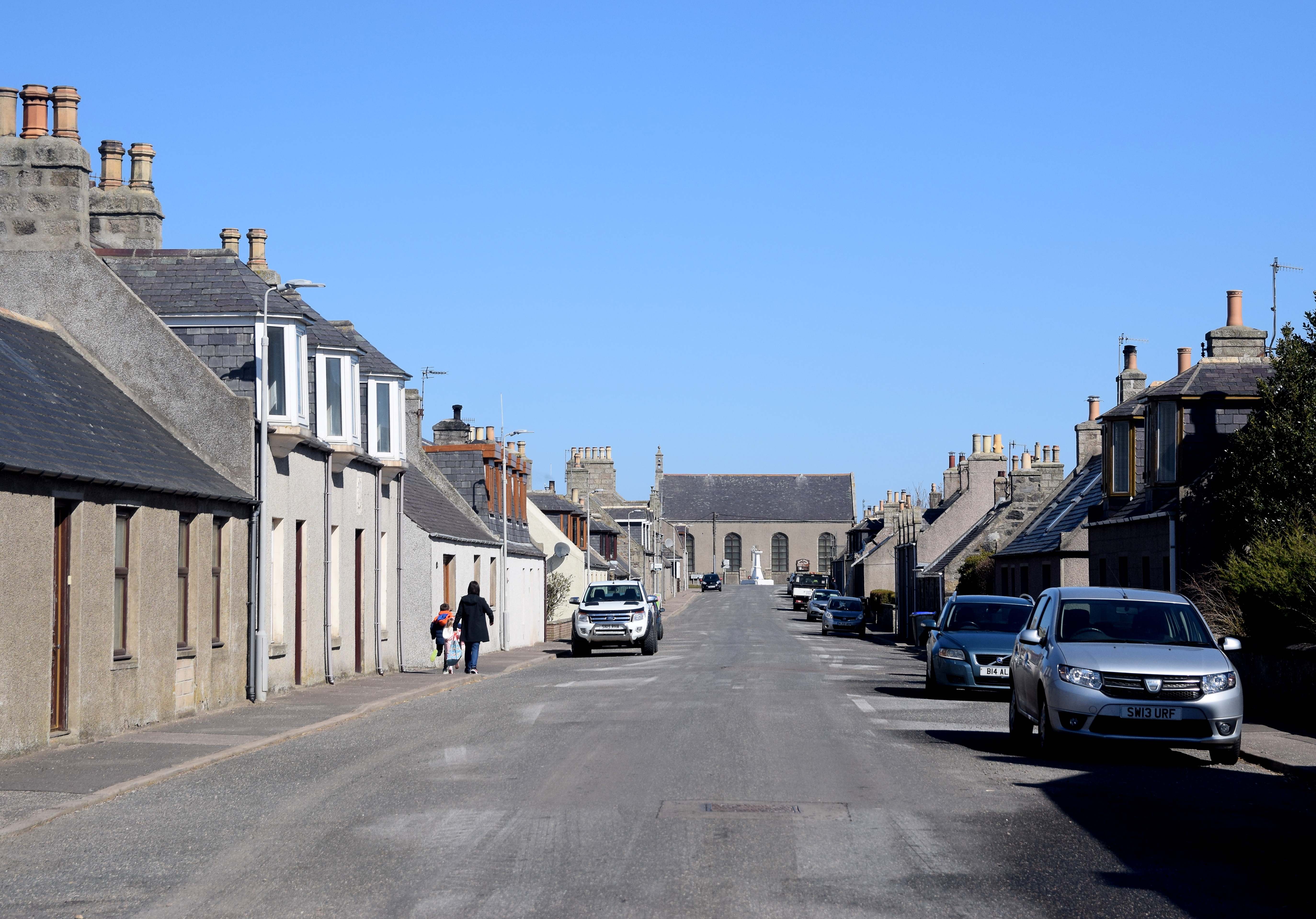
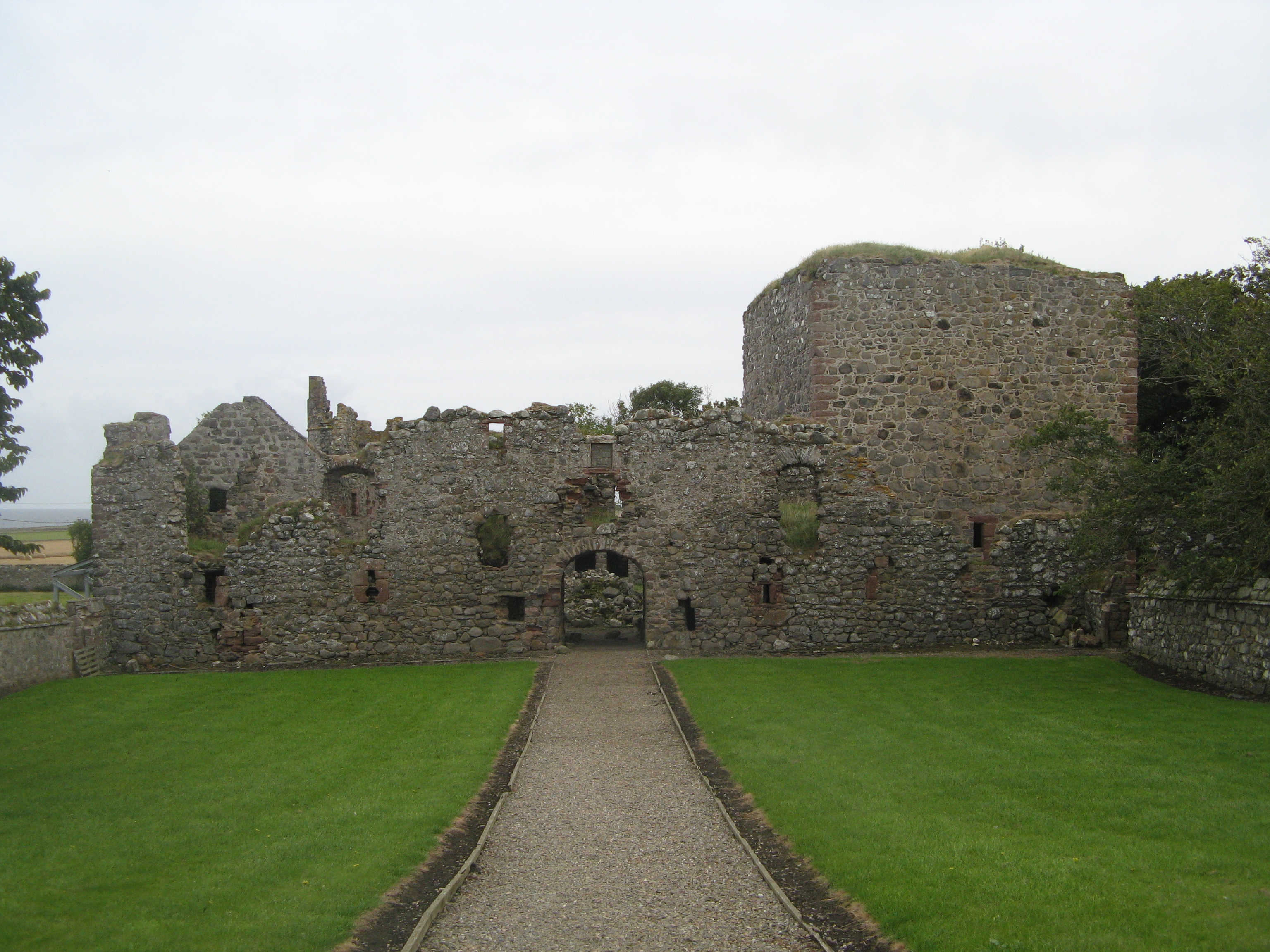
Boyndlie is a small rural village located in Aberdeenshire, Scotland. Situated approximately 6 miles southwest of Fraserburgh, it is nestled amidst rolling green countryside and offers a peaceful and picturesque setting.

The village is known for its close-knit community and friendly atmosphere. Its population is relatively small, with just over 200 residents. The village is primarily residential, with a few local amenities such as a community hall and a small convenience store, providing basic necessities for the locals. However, for more extensive shopping and services, residents typically travel to nearby towns like Fraserburgh.

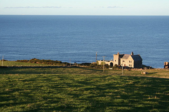
The surrounding landscape is characterized by fertile farmland, making agriculture a significant part of the local economy. The area is particularly known for its arable farming, with crops such as barley and oats being cultivated. The fields are divided by traditional dry-stone walls, adding to the rural charm of the village.

Outdoor enthusiasts can enjoy the peaceful countryside with a variety of walking and cycling routes available. The nearby coastal town of Fraserburgh is also a popular spot for those who enjoy fishing and water sports.

Overall, Boyndlie offers a tranquil and close community lifestyle, ideal for those seeking a peaceful retreat in the heart of Aberdeenshire's countryside.

If you have any feedback on the listing, please let us know in the comments section below.

Boyndlie Images

Images are sourced within 2km of 57.651912/-2.1547025 or Grid Reference NJ9062. Thanks to Geograph Open Source API. All images are credited.

Triangulation pillar and radar station, Alans Hill, Aberdeenshire The radar station is operated by NATS (National Air Traffic Services).  The radome (the "golf ball" which protects the radar antenna) was replaced in 2018: <span class="nowrap"><a title="https://www.nats.aero/features/replacing-allanshill-radome/" rel="nofollow ugc noopener" href="https://www.nats.aero/features/replacing-allanshill-radome/">Link</a><img style="margin-left:2px;" alt="External link" title="External link - shift click to open in new window" src="https://s1.geograph.org.uk/img/external.png" width="10" height="10"/></span> .
Triangulation pillar and radar station, Alans Hill, Aberdeenshire
The radar station is operated by NATS (National Air Traffic Services). The radome (the "golf ball" which protects the radar antenna) was replaced in 2018: LinkExternal link .
Boyndlie Cross-roads from bus stop
Minor road near School Croft
Lane to Coulterfanny.
Tyrie School.
Tyrie School.
Allans Hill radar station. The facility is run and maintained by NATS (National Air Traffic Service) and its purpose is to monitor the progress of mostly civilian airways traffic. It also provides a deconfliction service with the fairly intense military flying which the area frequently "enjoys".
Allans Hill radar station.
The facility is run and maintained by NATS (National Air Traffic Service) and its purpose is to monitor the progress of mostly civilian airways traffic. It also provides a deconfliction service with the fairly intense military flying which the area frequently "enjoys".
Triangulation Pillar by Allans Hill radar station.
The OS official stamp and "crow's Foot" at Allans Hill.
Straw bales, a pub, and an aerial on Allans Hill
Upper Boyndlie Farm.
Roadside woodland by North Boyndlie Lodge The lodge is just discernible through the trees.
Roadside woodland by North Boyndlie Lodge
The lodge is just discernible through the trees.
Wards of Boyndlie Farm.
Mill of Auchlin.
Mill of Auchlin.
Boyndlie Community Hall Hardly a 'village hall' as Boyndlie is a rather scattered local area rather than an actual village. All that a 10 minute Google search revealed -  'Scottish Rural Women's Institute meets here monthly'.
Boyndlie Community Hall
Hardly a 'village hall' as Boyndlie is a rather scattered local area rather than an actual village. All that a 10 minute Google search revealed - 'Scottish Rural Women's Institute meets here monthly'.
Lochhills Farmhouse
Lochhills Farmhouse
Lochlip A partly cut barley field under a dull sky at Lochlip.
Lochlip
A partly cut barley field under a dull sky at Lochlip.
Stubble near Lochhills Round bales of straw ready for collection.
Stubble near Lochhills
Round bales of straw ready for collection.
Blackhills Gravel Pit Loading sorted gravel from R Lovie's  modern plant at Blackhills.
Blackhills Gravel Pit
Loading sorted gravel from R Lovie's modern plant at Blackhills.
Show me another place!

Boyndlie is located at Grid Ref: NJ9062 (Lat: 57.651912, Lng: -2.1547025)

Unitary Authority: Aberdeenshire

Police Authority: North East

What 3 Words

///labels.lifestyle.puddings. Near Rosehearty, Aberdeenshire

Related Wikis

Nearby Amenities

Located within 500m of 57.651912,-2.1547025
Upper Boyndae
Place: hamlet
Lat/Long: 57.6528803/-2.1548609
Power: pole
Lat/Long: 57.6523301/-2.1563043
Power: pole
Lat/Long: 57.6522849/-2.1553789
Power: pole
Lat/Long: 57.6526143/-2.1492219
Power: pole
Lat/Long: 57.6524995/-2.1505281
Power: pole
Lat/Long: 57.6524981/-2.1508044
Power: pole
Lat/Long: 57.6524119/-2.151833
Power: pole
Lat/Long: 57.6523287/-2.1531393
Power: pole
Lat/Long: 57.6521895/-2.1546882
Power: pole
Lat/Long: 57.6522526/-2.1545005
Power: pole
Lat/Long: 57.6526473/-2.1543932
Power: pole
Lat/Long: 57.6530513/-2.1541438
Power: pole
Lat/Long: 57.6512337/-2.1629629
Power: pole
Lat/Long: 57.6515078/-2.1621823
Power: pole
Lat/Long: 57.6517489/-2.1614219
Power: pole
Lat/Long: 57.6518809/-2.1605542
Power: pole
Lat/Long: 57.6522139/-2.1584353
Power: pole
Lat/Long: 57.6520517/-2.1595135
Power: pole
Lat/Long: 57.6523877/-2.157263
Power: pole
Lat/Long: 57.6526809/-2.1478283
Power: pole
Lat/Long: 57.6526867/-2.146543
The data included in this document is from www.openstreetmap.org. The data is made available under ODbL.

Have you been to Boyndlie?

Leave your review of Boyndlie below (or comments, questions and feedback).