Boyndlie, Upper

Settlement in Aberdeenshire

Scotland

Boyndlie, Upper

Triangulation pillar and radar station, Alans Hill, Aberdeenshire The radar station is operated by NATS (National Air Traffic Services).  The radome (the "golf ball" which protects the radar antenna) was replaced in 2018: <span class="nowrap"><a title="https://www.nats.aero/features/replacing-allanshill-radome/" rel="nofollow ugc noopener" href="https://www.nats.aero/features/replacing-allanshill-radome/">Link</a><img style="margin-left:2px;" alt="External link" title="External link - shift click to open in new window" src="https://s1.geograph.org.uk/img/external.png" width="10" height="10"/></span> .
Triangulation pillar and radar station, Alans Hill, Aberdeenshire Credit: Claire Pegrum

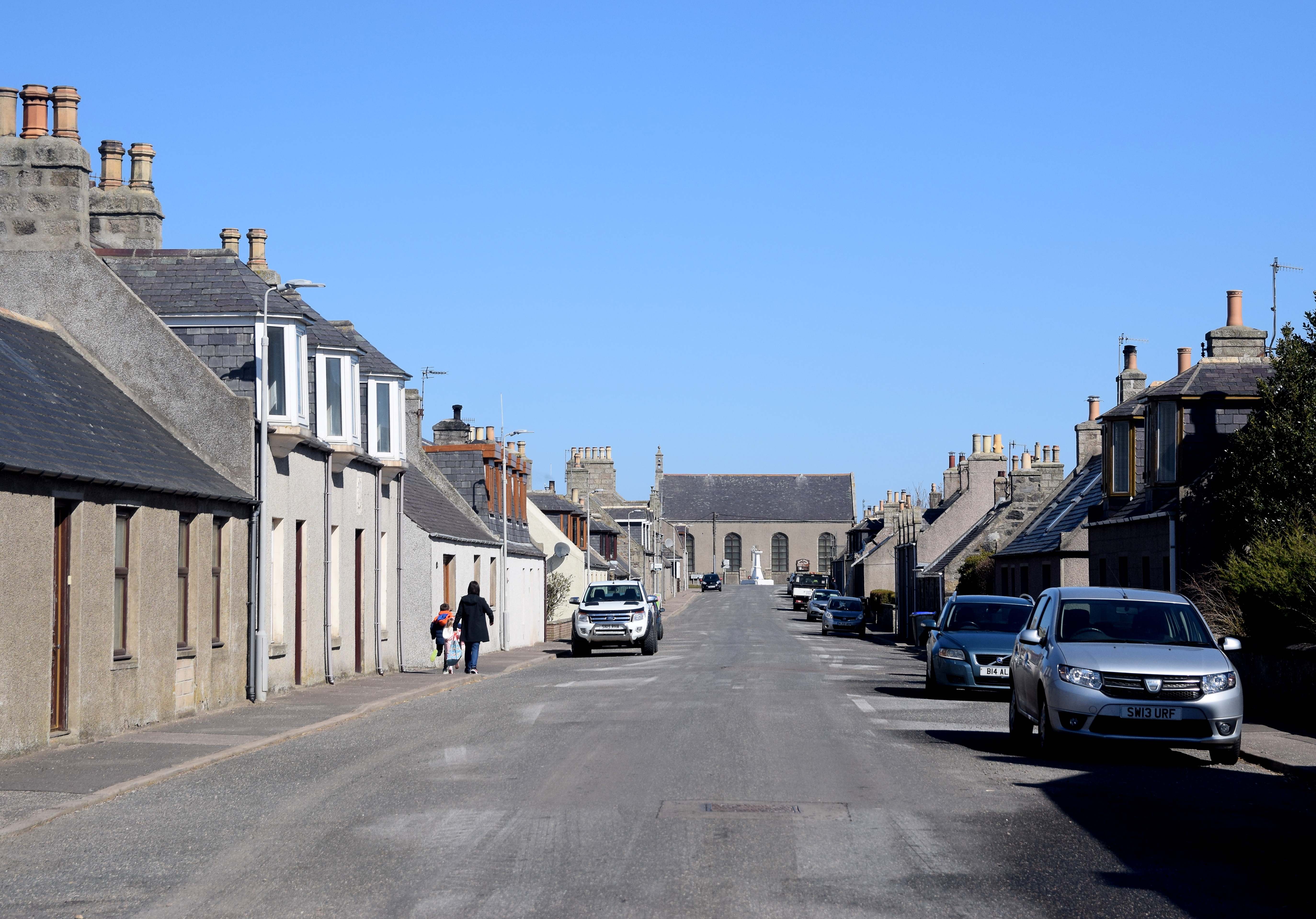
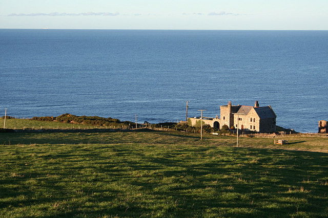
Boyndlie is a small rural village located in the Upper region of Aberdeenshire, Scotland. Situated in the northeast part of the country, it is nestled amidst rolling hills and picturesque landscapes. The village is approximately 12 miles south of Fraserburgh and 50 miles north of Aberdeen, making it an ideal location for those seeking a peaceful countryside setting while still having access to larger towns.

With a population of around 300 residents, Boyndlie exudes a strong sense of community. The village is known for its tight-knit atmosphere, where neighbors often come together for social events and activities. The local primary school serves as a focal point for families, providing an excellent education for children in the area.

Boyndlie is surrounded by lush farmland, and agriculture plays a significant role in the village's economy. Traditional farming practices, such as livestock rearing and crop cultivation, are prevalent in the area. The fertile soil and favorable climate contribute to the village's agricultural success.

The countryside setting also attracts outdoor enthusiasts, as Boyndlie offers ample opportunities for hiking, cycling, and exploring nature. The nearby Boyndie Bay is a popular destination for locals and visitors alike, with its scenic coastal views and tranquil beaches.

While Boyndlie may be a small village, its charm and natural beauty make it an idyllic place to call home. With its strong community spirit, agricultural heritage, and access to stunning countryside, Boyndlie offers residents a peaceful and picturesque lifestyle in the heart of Aberdeenshire.

If you have any feedback on the listing, please let us know in the comments section below.

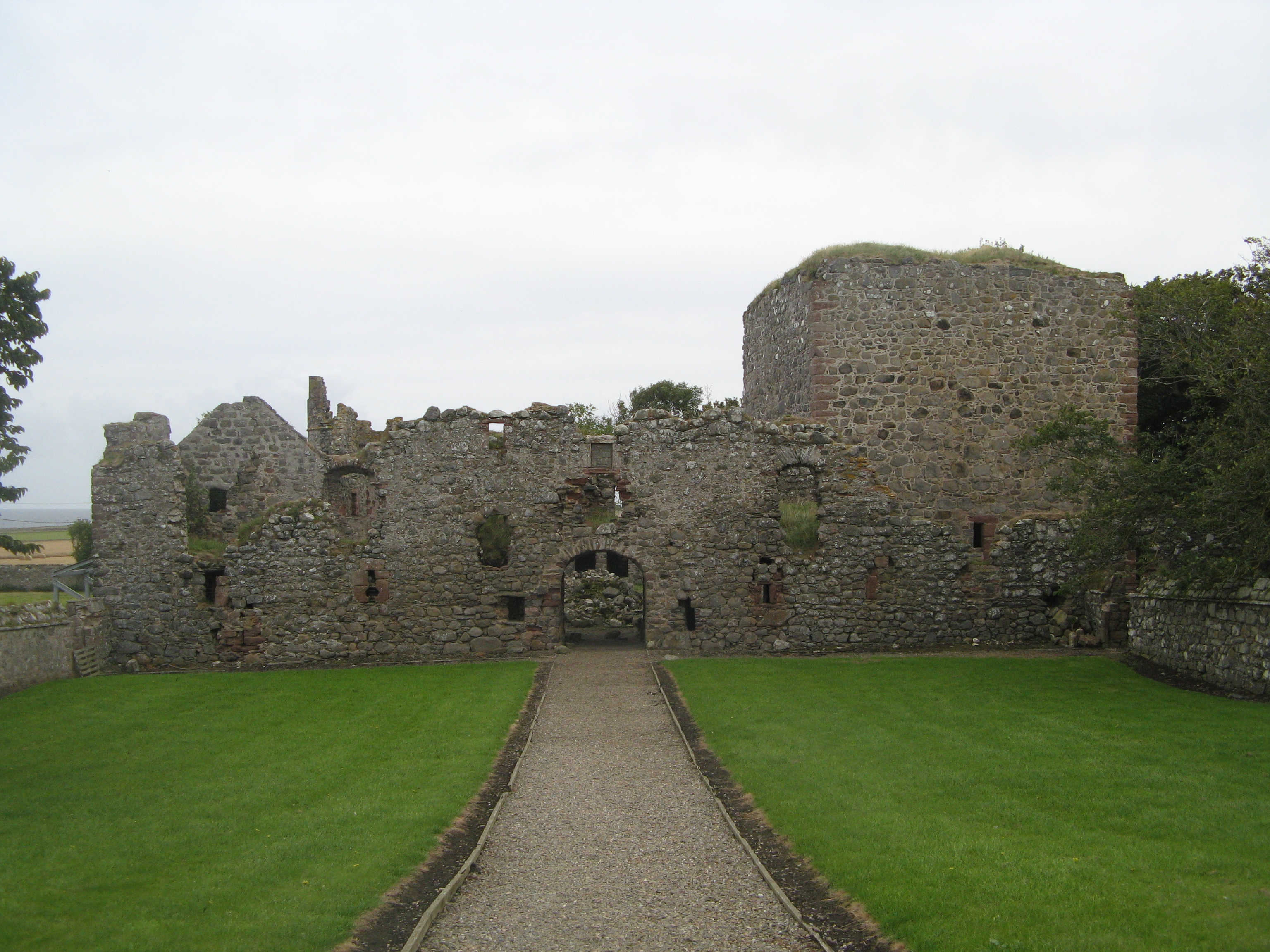
Boyndlie, Upper Images

Images are sourced within 2km of 57.647806/-2.1691933 or Grid Reference NJ9062. Thanks to Geograph Open Source API. All images are credited.

Triangulation pillar and radar station, Alans Hill, Aberdeenshire The radar station is operated by NATS (National Air Traffic Services).  The radome (the "golf ball" which protects the radar antenna) was replaced in 2018: <span class="nowrap"><a title="https://www.nats.aero/features/replacing-allanshill-radome/" rel="nofollow ugc noopener" href="https://www.nats.aero/features/replacing-allanshill-radome/">Link</a><img style="margin-left:2px;" alt="External link" title="External link - shift click to open in new window" src="https://s1.geograph.org.uk/img/external.png" width="10" height="10"/></span> .
Triangulation pillar and radar station, Alans Hill, Aberdeenshire
The radar station is operated by NATS (National Air Traffic Services). The radome (the "golf ball" which protects the radar antenna) was replaced in 2018: LinkExternal link .
Boyndlie Cross-roads from bus stop
Bale stash, Red Moss A stack of round silage bales beside a road running south to Strichen.
Bale stash, Red Moss
A stack of round silage bales beside a road running south to Strichen.
Minor road near School Croft
Lane to Coulterfanny.
Allans Hill radar station. The facility is run and maintained by NATS (National Air Traffic Service) and its purpose is to monitor the progress of mostly civilian airways traffic. It also provides a deconfliction service with the fairly intense military flying which the area frequently "enjoys".
Allans Hill radar station.
The facility is run and maintained by NATS (National Air Traffic Service) and its purpose is to monitor the progress of mostly civilian airways traffic. It also provides a deconfliction service with the fairly intense military flying which the area frequently "enjoys".
Triangulation Pillar by Allans Hill radar station.
The OS official stamp and "crow's Foot" at Allans Hill.
Straw bales, a pub, and an aerial on Allans Hill
Upper Boyndlie Farm.
Roadside woodland by North Boyndlie Lodge The lodge is just discernible through the trees.
Roadside woodland by North Boyndlie Lodge
The lodge is just discernible through the trees.
Wards of Boyndlie Farm.
Boyndlie Community Hall Hardly a 'village hall' as Boyndlie is a rather scattered local area rather than an actual village. All that a 10 minute Google search revealed -  'Scottish Rural Women's Institute meets here monthly'.
Boyndlie Community Hall
Hardly a 'village hall' as Boyndlie is a rather scattered local area rather than an actual village. All that a 10 minute Google search revealed - 'Scottish Rural Women's Institute meets here monthly'.
Lochlip A partly cut barley field under a dull sky at Lochlip.
Lochlip
A partly cut barley field under a dull sky at Lochlip.
East Latch and Woodhead East Latch is the house at left. To the right are Woodhead Cottages. The white sphere on the skyline is a radar station.
East Latch and Woodhead
East Latch is the house at left. To the right are Woodhead Cottages. The white sphere on the skyline is a radar station.
Burn and drain A drain which forms a headwater of the North Ugie Water.
Burn and drain
A drain which forms a headwater of the North Ugie Water.
Minor road near Hindstones
Minor road near New Aberdour
Show me another place!

Boyndlie, Upper is located at Grid Ref: NJ9062 (Lat: 57.647806, Lng: -2.1691933)

Unitary Authority: Aberdeenshire

Police Authority: North East

What 3 Words

///perfumes.exhaling.monopoly. Near Rosehearty, Aberdeenshire

Related Wikis

Nearby Amenities

Located within 500m of 57.647806,-2.1691933
Power: pole
Lat/Long: 57.6506424/-2.1732786
Power: pole
Lat/Long: 57.6508074/-2.171959
Power: pole
Lat/Long: 57.6510945/-2.1694806
Power: pole
Lat/Long: 57.6512308/-2.1681851
Power: pole
Lat/Long: 57.6513198/-2.1672195
Power: pole
Lat/Long: 57.6514231/-2.1663907
Power: pole
Lat/Long: 57.6517948/-2.1681798
Power: pole
Lat/Long: 57.6496435/-2.1759501
Power: pole
Lat/Long: 57.6494095/-2.1767843
Power: pole
Lat/Long: 57.6487077/-2.1773797
Power: pole
Lat/Long: 57.6486245/-2.1774539
Power: pole
Lat/Long: 57.6500134/-2.1759623
Power: pole
Lat/Long: 57.65035/-2.1759735
Power: pole
Lat/Long: 57.6483506/-2.1762921
Power: pole
Lat/Long: 57.648055/-2.1750067
Power: pole
Lat/Long: 57.6476384/-2.1737888
Power: pole
Lat/Long: 57.64711/-2.1728405
Power: pole
Lat/Long: 57.6465769/-2.1720206
Power: pole
Lat/Long: 57.6460451/-2.1711789
Power: pole
Lat/Long: 57.6454422/-2.170259
Power: pole
Lat/Long: 57.6448683/-2.1693868
Power: pole
Lat/Long: 57.6505094/-2.1745228
Power: pole
Lat/Long: 57.6509493/-2.1706994
Power: pole
Lat/Long: 57.6513008/-2.165347
Power: pole
Lat/Long: 57.6512193/-2.1644335
The data included in this document is from www.openstreetmap.org. The data is made available under ODbL.

Have you been to Boyndlie, Upper?

Leave your review of Boyndlie, Upper below (or comments, questions and feedback).