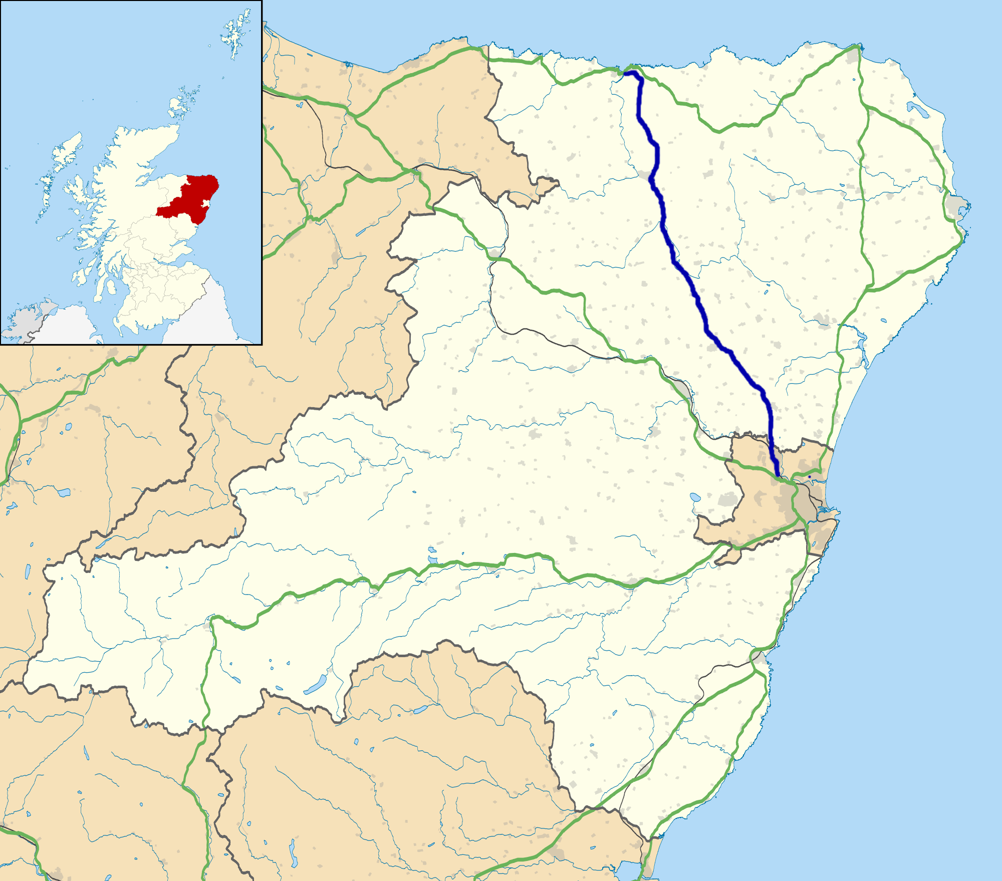
Bogside

Settlement in Aberdeenshire
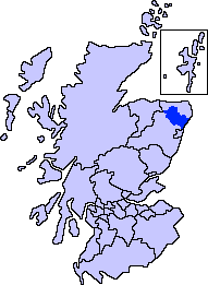
Scotland

Bogside

Copse at Denhill Copse obscuring Denhill Farm, viewed from the roadside to the south-east.
Copse at Denhill Credit: Scott Cormie

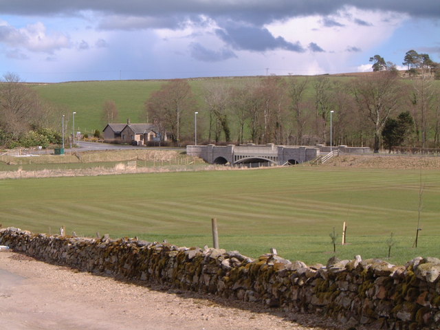
Bogside is a small rural village located in Aberdeenshire, Scotland. Situated about 9 miles southwest of the town of Turriff, Bogside is nestled in the picturesque countryside, surrounded by rolling hills and farmland.

The village itself is characterized by its quaint and peaceful atmosphere, offering residents and visitors a tranquil escape from the hustle and bustle of city life. It is primarily a residential area, with a small population of close-knit community members.

Despite its small size, Bogside boasts a strong sense of community spirit, with various local events and gatherings organized throughout the year. The village hall serves as a central hub for these activities, hosting everything from community meetings to social events, bringing residents together.

In terms of amenities, Bogside has a few essential facilities to cater to the needs of its residents. These include a local primary school, ensuring education is easily accessible for young children in the area. Additionally, there is a convenience store where locals can purchase essential items without having to travel too far.

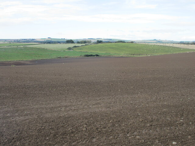
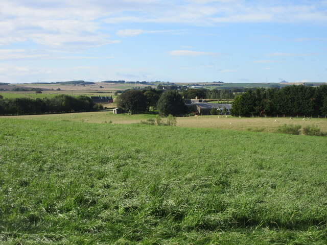
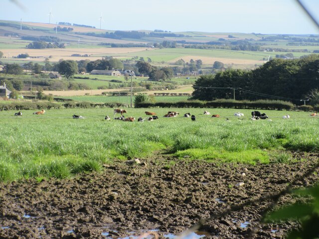
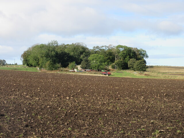
For those seeking outdoor activities, the surrounding countryside offers ample opportunities for walking, hiking, and exploring nature. The scenic landscape is dotted with picturesque farms and fields, providing a perfect backdrop for outdoor enthusiasts.

Overall, Bogside is a charming village nestled in the heart of Aberdeenshire, offering residents and visitors a peaceful and close-knit community, surrounded by beautiful countryside and a range of outdoor activities.

If you have any feedback on the listing, please let us know in the comments section below.
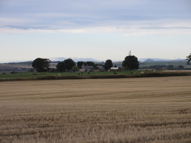
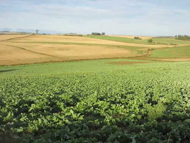
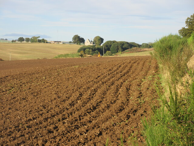
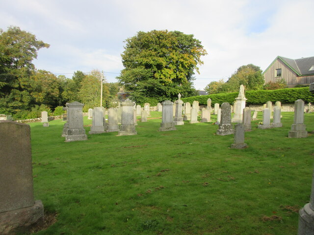
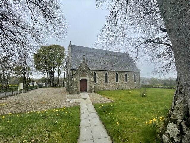
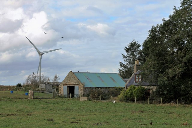
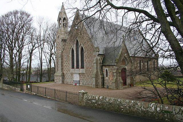
Bogside Images

Images are sourced within 2km of 57.409673/-2.3065402 or Grid Reference NJ8135. Thanks to Geograph Open Source API. All images are credited.

Copse at Denhill Copse obscuring Denhill Farm, viewed from the roadside to the south-east.
Copse at Denhill
Copse obscuring Denhill Farm, viewed from the roadside to the south-east.
Hillbrae Croft A distant view of Hillbrae Croft from the north-east, with Mither Tap of Bennachie visible on the horizon to the right.
Hillbrae Croft
A distant view of Hillbrae Croft from the north-east, with Mither Tap of Bennachie visible on the horizon to the right.
Turnip field north of Hillbrae Looking westwards down a field of turnips to the north of Hillbrae.
Turnip field north of Hillbrae
Looking westwards down a field of turnips to the north of Hillbrae.
Ploughed field near Hardford Looking westwards over a newly ploughed field near Hardford, with Barthol Chapel in the distance.
Ploughed field near Hardford
Looking westwards over a newly ploughed field near Hardford, with Barthol Chapel in the distance.
Barthol Chapel Barthol Chapel from the west, showing the bell tower, western gable, and war memorial plaque under the windows.
Barthol Chapel
Barthol Chapel from the west, showing the bell tower, western gable, and war memorial plaque under the windows.
Barthol Chapel Cemetery Looking westwards from within the cemetery at Barthol Chapel.
Barthol Chapel Cemetery
Looking westwards from within the cemetery at Barthol Chapel.
Field west of Barthol Chapel New growth in a field west of Barthol Chapel, looking south-west towards South Flobbets.
Field west of Barthol Chapel
New growth in a field west of Barthol Chapel, looking south-west towards South Flobbets.
Tyre marks in stubble field Evidence of vehicles in a stubble field near Denhill.
Tyre marks in stubble field
Evidence of vehicles in a stubble field near Denhill.
Rows of bales Bales arranged in rows west of Banks Farm.
Rows of bales
Bales arranged in rows west of Banks Farm.
Cattle feeding Cattle scattered in a field west of North Blackstocks.
Cattle feeding
Cattle scattered in a field west of North Blackstocks.
Large field near South Blackstocks Large field of soil to the west of South Blackstocks.
Large field near South Blackstocks
Large field of soil to the west of South Blackstocks.
Woodland at Throopmuir Looking south-west from the Crossroads at Braikley to woodland at Throopmuir.
Woodland at Throopmuir
Looking south-west from the Crossroads at Braikley to woodland at Throopmuir.
Cattle at Braikley Looking eastwards to cattle in a field at Braikley.
Cattle at Braikley
Looking eastwards to cattle in a field at Braikley.
Copse at Greenmyre Copse surrounding Greenmyre Farm, viewed from the south-east.
Copse at Greenmyre
Copse surrounding Greenmyre Farm, viewed from the south-east.
Barthol Chapel Geocaching is a type of global treasure hunt of people looking for caches, or hidden stashes of objects. Geocaching may also be described as a series of hide-and-seek games, where hiders provide online clues for seekers. Seekers use global positioning system (GPS) devices to find hidden caches
Barthol Chapel
Geocaching is a type of global treasure hunt of people looking for caches, or hidden stashes of objects. Geocaching may also be described as a series of hide-and-seek games, where hiders provide online clues for seekers. Seekers use global positioning system (GPS) devices to find hidden caches
South Denhill A small farm by the roadside.
South Denhill
A small farm by the roadside.
The Church of Scotland at Barthol Chapel.
Church tower  and clock at Barthol Chapel church.
Church tower and clock at Barthol Chapel church.
Show me another place!

Bogside is located at Grid Ref: NJ8135 (Lat: 57.409673, Lng: -2.3065402)

Unitary Authority: Aberdeenshire

Police Authority: North East

What 3 Words

///cools.ridiculed.contracting. Near Oldmeldrum, Aberdeenshire

Nearby Locations

Moss of Minnonie Bogside

Related Wikis

Nearby Amenities

Located within 500m of 57.409673,-2.3065402
Power: pole
Lat/Long: 57.4090715/-2.3069244
Power: pole
Lat/Long: 57.4094979/-2.3067101
Power: pole
Lat/Long: 57.4099706/-2.3064633
Power: pole
Lat/Long: 57.4103695/-2.3064089
Power: pole
Lat/Long: 57.4109511/-2.3063186
Power: pole
Lat/Long: 57.4115591/-2.3062327
Power: pole
Lat/Long: 57.4121612/-2.3061414
Power: pole
Lat/Long: 57.4128019/-2.3060479
Power: pole
Lat/Long: 57.4134309/-2.3059522
Power: pole
Lat/Long: 57.4140424/-2.3056455
The data included in this document is from www.openstreetmap.org. The data is made available under ODbL.

Have you been to Bogside?

Leave your review of Bogside below (or comments, questions and feedback).