Moss of Minnonie

Downs, Moorland in Aberdeenshire

Scotland

Moss of Minnonie

Copse at Denhill Copse obscuring Denhill Farm, viewed from the roadside to the south-east.
Copse at Denhill Credit: Scott Cormie

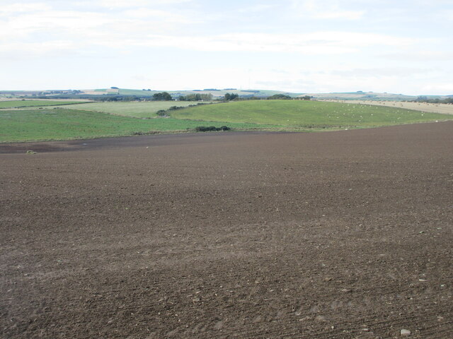
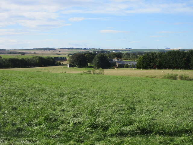
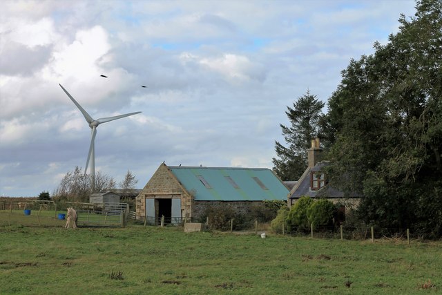
Moss of Minnonie is a picturesque area located in Aberdeenshire, Scotland. Situated on the Downs, the landscape is predominantly characterized by vast expanses of moorland. This remote and untouched region is known for its natural beauty and tranquil atmosphere, attracting nature enthusiasts and hikers from near and far.

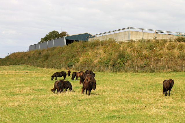
Covered in a thick blanket of moss, the moorland of Moss of Minnonie presents a stunning sight with its vibrant shades of green. The moss creates a soft and cushion-like ground cover, making it an ideal habitat for various flora and fauna. Heathland plants such as heather, gorse, and bilberry thrive in this environment, adding splashes of color to the landscape.

The area is also home to a diverse range of wildlife. Birdwatchers can spot a variety of species, including red grouse, skylarks, and meadow pipits, soaring through the sky. On the ground, one may come across the elusive mountain hare or the occasional red deer. The presence of these animals adds to the allure of Moss of Minnonie, providing visitors with the opportunity to observe and connect with nature.

Due to its remote location, the moorland remains unspoiled by human activity. This ensures an uninterrupted and serene experience for those exploring the area. The vast open spaces and rolling hills offer breathtaking panoramic views, making it a popular spot for photographers and nature lovers seeking solace in the beauty of the Scottish countryside.

In conclusion, Moss of Minnonie in Aberdeenshire is a captivating destination for those seeking tranquility and natural beauty. With its moss-covered moorland, diverse wildlife, and untouched landscape, it offers an enchanting experience that will leave visitors in awe of the stunning Scottish countryside.

If you have any feedback on the listing, please let us know in the comments section below.

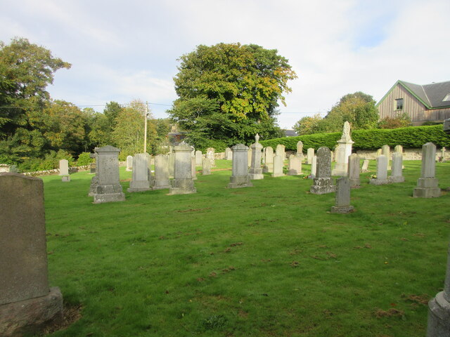
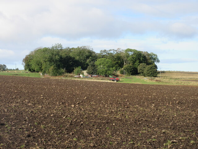
Moss of Minnonie Images

Images are sourced within 2km of 57.413265/-2.3178229 or Grid Reference NJ8135. Thanks to Geograph Open Source API. All images are credited.

Copse at Denhill Copse obscuring Denhill Farm, viewed from the roadside to the south-east.
Copse at Denhill
Copse obscuring Denhill Farm, viewed from the roadside to the south-east.
Barthol Chapel Cemetery Looking westwards from within the cemetery at Barthol Chapel.
Barthol Chapel Cemetery
Looking westwards from within the cemetery at Barthol Chapel.
Field west of Barthol Chapel New growth in a field west of Barthol Chapel, looking south-west towards South Flobbets.
Field west of Barthol Chapel
New growth in a field west of Barthol Chapel, looking south-west towards South Flobbets.
Tyre marks in stubble field Evidence of vehicles in a stubble field near Denhill.
Tyre marks in stubble field
Evidence of vehicles in a stubble field near Denhill.
Rows of bales Bales arranged in rows west of Banks Farm.
Rows of bales
Bales arranged in rows west of Banks Farm.
Cattle feeding Cattle scattered in a field west of North Blackstocks.
Cattle feeding
Cattle scattered in a field west of North Blackstocks.
Large field near South Blackstocks Large field of soil to the west of South Blackstocks.
Large field near South Blackstocks
Large field of soil to the west of South Blackstocks.
Woodland at Throopmuir Looking south-west from the Crossroads at Braikley to woodland at Throopmuir.
Woodland at Throopmuir
Looking south-west from the Crossroads at Braikley to woodland at Throopmuir.
Copse at Greenmyre Copse surrounding Greenmyre Farm, viewed from the south-east.
Copse at Greenmyre
Copse surrounding Greenmyre Farm, viewed from the south-east.
Den of Crichie The Den with its burn and a windturbine in the region of Denhill farm behind.
Den of Crichie
The Den with its burn and a windturbine in the region of Denhill farm behind.
Crichie Burn The relatively small burn of Crichie as it flows out of the Den to the bridge soon to join the Ythan.
Crichie Burn
The relatively small burn of Crichie as it flows out of the Den to the bridge soon to join the Ythan.
St. John's Ponies Ponies by the farm of St.John's Well.
St. John's Ponies
Ponies by the farm of St.John's Well.
Denhill Farm Denhill with its shelterbelt of trees.
Denhill Farm
Denhill with its shelterbelt of trees.
Denhill Turbine A wind turbine by Denhill Farm, judging by the previous photos in this area this is a fairly recent addition.
Denhill Turbine
A wind turbine by Denhill Farm, judging by the previous photos in this area this is a fairly recent addition.
South Denhill A small farm by the roadside.
South Denhill
A small farm by the roadside.
Aberdeenshire wind turbines View south from Woodhead of a cluster of wind turbines on the Hill of Blairfowl  Their scale can be gauged from the fact that they are nearly 1.5 km away from the photographer.  The deep valley of the River Ythan cam just be discerned on the mid left-hand side of the photo.
Aberdeenshire wind turbines
View south from Woodhead of a cluster of wind turbines on the Hill of Blairfowl Their scale can be gauged from the fact that they are nearly 1.5 km away from the photographer. The deep valley of the River Ythan cam just be discerned on the mid left-hand side of the photo.
Flobbets Farm The long access to Flobbets with its sheltering trees.
Flobbets Farm
The long access to Flobbets with its sheltering trees.
Cemetery at Barthol Chapel. The Barthol Chapel school can be seen through the trees in the background.
Cemetery at Barthol Chapel.
The Barthol Chapel school can be seen through the trees in the background.
Show me another place!

Moss of Minnonie is located at Grid Ref: NJ8135 (Lat: 57.413265, Lng: -2.3178229)

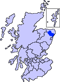
Unitary Authority: Aberdeenshire

Police Authority: North East

What 3 Words

///expired.pollution.sage. Near Oldmeldrum, Aberdeenshire

Nearby Locations

Moss of Minnonie Bogside

Related Wikis

Barthol Chapel

Barthol Chapel is a small village in the Formartine area of Aberdeenshire, Scotland, named after the Catholic saint, St Bartholomew. Barthol Chapel has...

Formartine

Formartine (Scottish Gaelic: Fearann MhĂ rtainn meaning "Martin's land") is a committee area in Aberdeenshire, Scotland. This district extends north from...
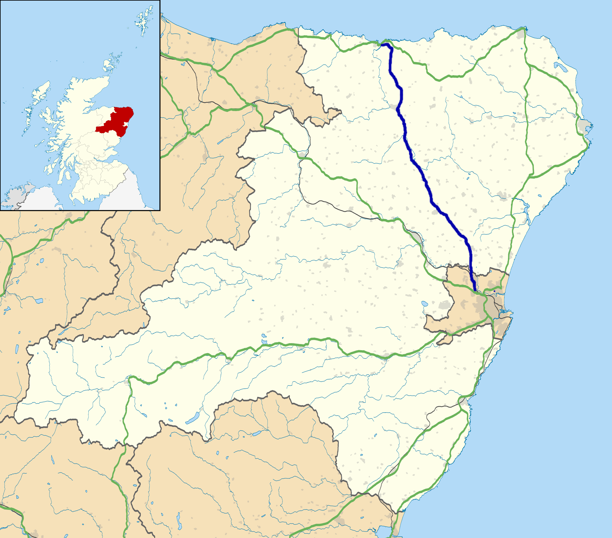
A947 road

The A947 is a single-carriageway road in Scotland that links Aberdeen to Banff via several towns in Aberdeenshire, including Newmachar, Oldmeldrum, Fyvie...

Woodhead, Aberdeenshire

Woodhead of Fyvie, often simply called "Woodhead", is an inland hamlet in Formartine, Aberdeenshire, Scotland, that lies to the east of Fyvie near the...

Nearby Amenities

Located within 500m of 57.413265,-2.3178229
Power: pole
Lat/Long: 57.4094206/-2.3216947
Power: pole
Lat/Long: 57.409433/-2.3208778
Power: pole
Lat/Long: 57.4094516/-2.3200474
Power: pole
Lat/Long: 57.4094568/-2.3192401
Power: pole
Lat/Long: 57.4094775/-2.3183273
Power: pole
Lat/Long: 57.4097253/-2.3176121
Power: pole
Lat/Long: 57.4170995/-2.3221837
The data included in this document is from www.openstreetmap.org. The data is made available under ODbL.

Have you been to Moss of Minnonie?

Leave your review of Moss of Minnonie below (or comments, questions and feedback).