Fooden Moor
Downs, Moorland in Yorkshire Ribble Valley
England
Fooden Moor
Fooden Moor is a picturesque area located in the county of Yorkshire, England. Situated in the northern region of the county, it is characterized by rolling hills, expansive moorland, and breathtaking natural beauty. With an elevation ranging between 300 and 400 meters, it falls within the category of moorland, offering visitors stunning panoramic views of the surrounding countryside.
The moorland of Fooden Moor is covered in a patchwork of heather, grasses, and wildflowers, providing a vibrant and colorful landscape. The area is home to a diverse range of flora and fauna, including various species of birds, mammals, and insects. The moorland's unique ecosystem supports a variety of wildlife, making it an ideal destination for nature lovers and birdwatchers.
Fooden Moor is intersected by several footpaths and trails, allowing visitors to explore its natural wonders on foot. These paths lead through the moorland, offering opportunities for leisurely walks or more challenging hikes. Along the way, visitors can discover hidden streams, ancient stone formations, and even remnants of historical settlements. The moorland also features a number of designated viewpoints, where visitors can take in the breathtaking landscape and soak in the tranquility of the surroundings.
With its unspoiled beauty and serene atmosphere, Fooden Moor offers a welcome escape from the hustle and bustle of everyday life. Whether it's a peaceful stroll, an adventurous hike, or simply taking in the natural wonders, this moorland in Yorkshire provides a truly memorable experience for all who visit.
If you have any feedback on the listing, please let us know in the comments section below.
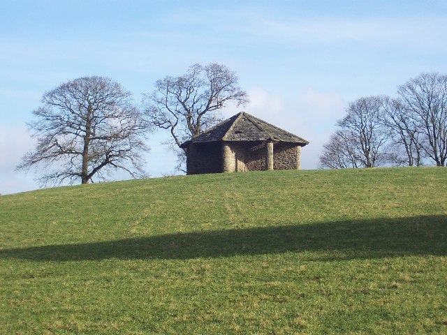
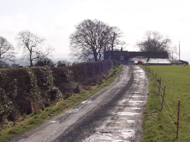
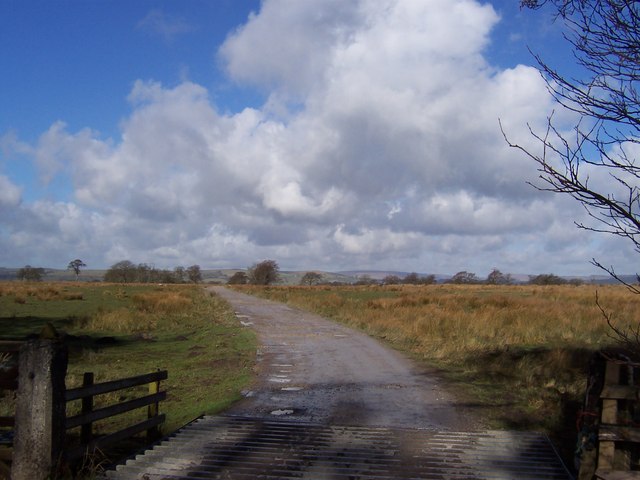
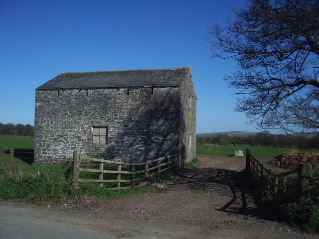
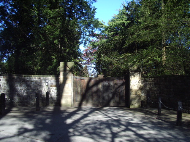
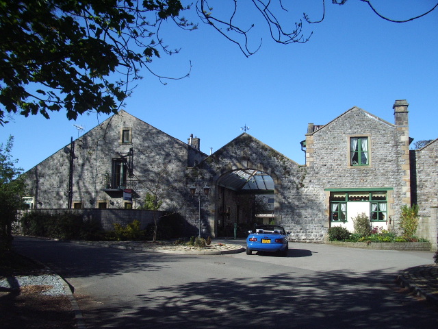
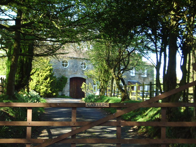
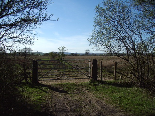
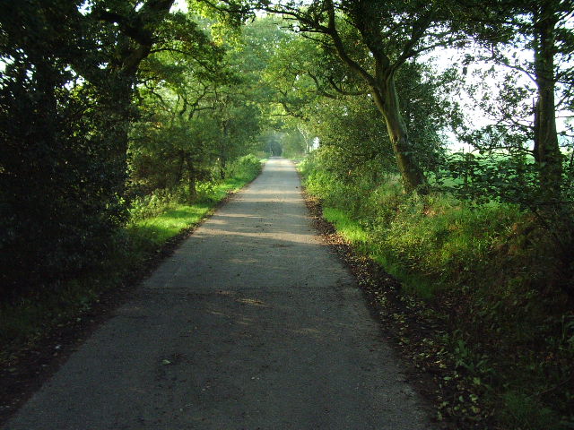
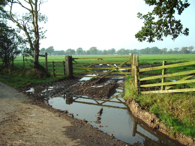
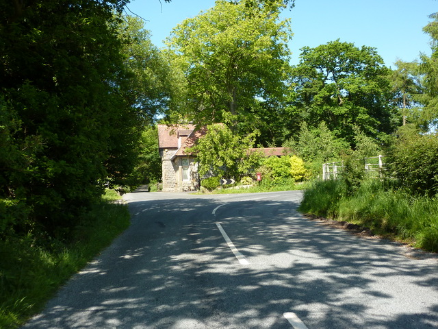
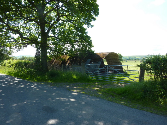
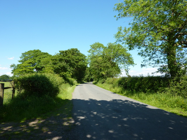
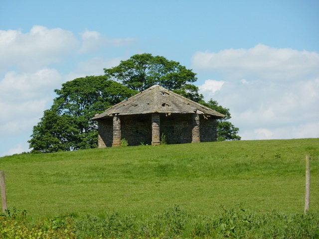
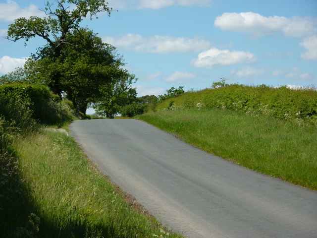
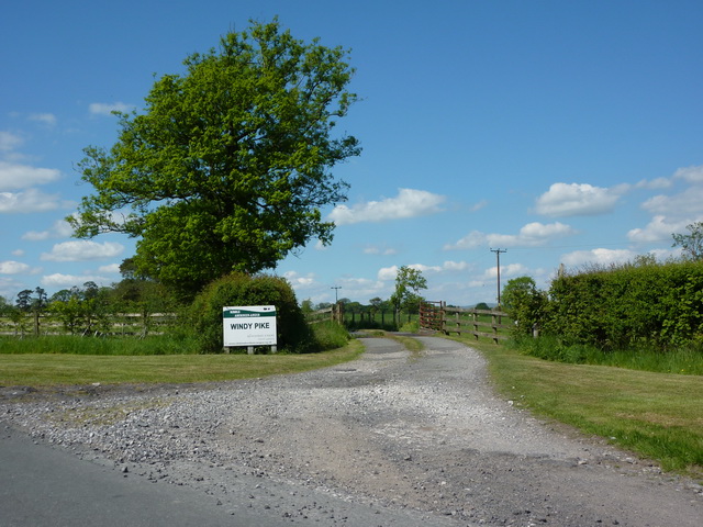
Fooden Moor Images
Images are sourced within 2km of 53.952989/-2.2903247 or Grid Reference SD8150. Thanks to Geograph Open Source API. All images are credited.


Fooden Moor is located at Grid Ref: SD8150 (Lat: 53.952989, Lng: -2.2903247)
Division: West Riding
Administrative County: Lancashire
District: Ribble Valley
Police Authority: Lancashire
What 3 Words
///crusaders.eager.grounding. Near Hellifield, North Yorkshire
Nearby Locations
Related Wikis

Stock Beck
Stock Beck is a minor river in the West Craven area of Pendle, Lancashire (formerly in Yorkshire). It is 8.25 miles (13.27 km) long and has a catchment...

Gisburne Park
Gisburne Park is an 18th-century country house and associated park in Gisburn, Lancashire, England, in the Ribble Valley some 6 miles (10 km) north-east...

Paythorne
Paythorne is a small village and civil parish in Ribble Valley, Lancashire, England. It is situated alongside the River Ribble, north-east of Clitheroe...

Gisburn railway station
Gisburn railway station served the small village of Gisburn, which is now in Lancashire, England, but was in the West Riding of Yorkshire at the time....
Nearby Amenities
Located within 500m of 53.952989,-2.2903247Have you been to Fooden Moor?
Leave your review of Fooden Moor below (or comments, questions and feedback).