Boath

Settlement in Ross-shire

Scotland

Boath

Looking to Acharn
Looking to Acharn Credit: Peter Moore

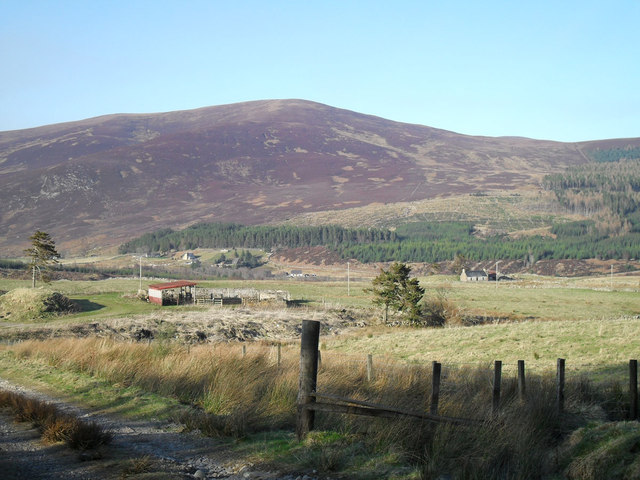
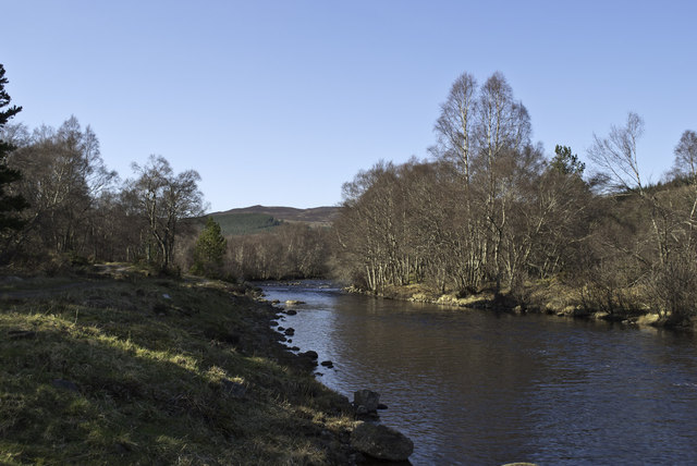
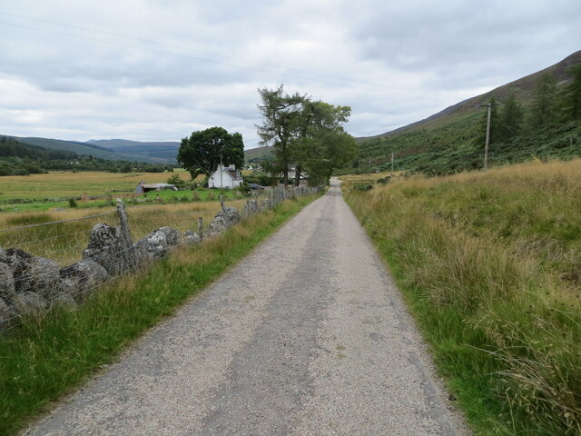
Boath is a small village located in Ross-shire, a county in the Highlands of Scotland. Situated near the eastern shore of the picturesque Loch Ness, Boath offers stunning views of the surrounding countryside and the famous loch. The village is situated about 7 miles south of the town of Inverness, making it easily accessible for visitors.

Boath is known for its rich history, with evidence of human settlement dating back thousands of years. The area is home to several Neolithic and Bronze Age sites, including standing stones and burial cairns, which attract archaeology enthusiasts from around the world.

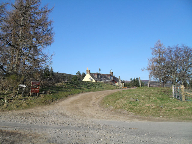
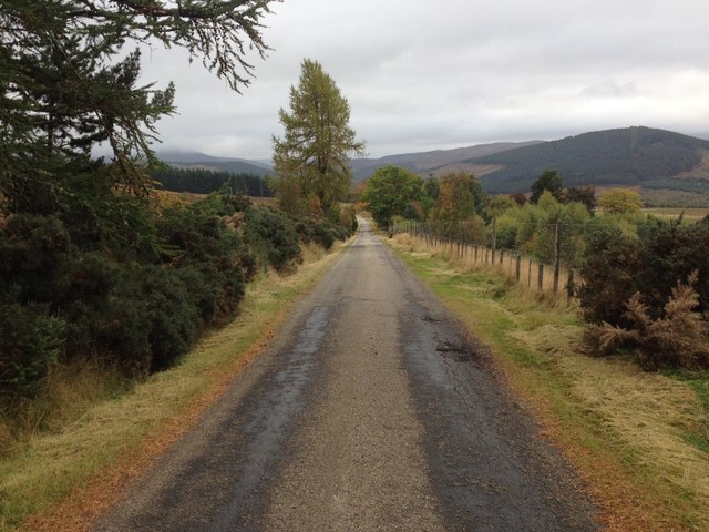
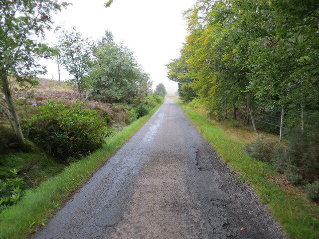
Despite its small size, Boath has a strong sense of community and offers a range of amenities for residents and visitors. The village has a local pub where visitors can enjoy traditional Scottish food and drink, as well as a small convenience store for everyday essentials. Outdoor enthusiasts will find plenty to do in the surrounding area, with numerous walking trails and cycling routes available.

One of the main attractions in Boath is the Boath Doocot, a 17th-century pigeon house that has been restored and is now open to the public. The doocot provides a glimpse into the region's agricultural past and offers visitors the opportunity to learn about the importance of pigeons in local history.

Overall, Boath is a charming village that offers a peaceful retreat for those looking to explore the beauty of the Scottish Highlands and immerse themselves in the rich cultural heritage of the area.

If you have any feedback on the listing, please let us know in the comments section below.
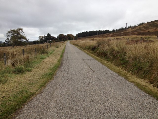
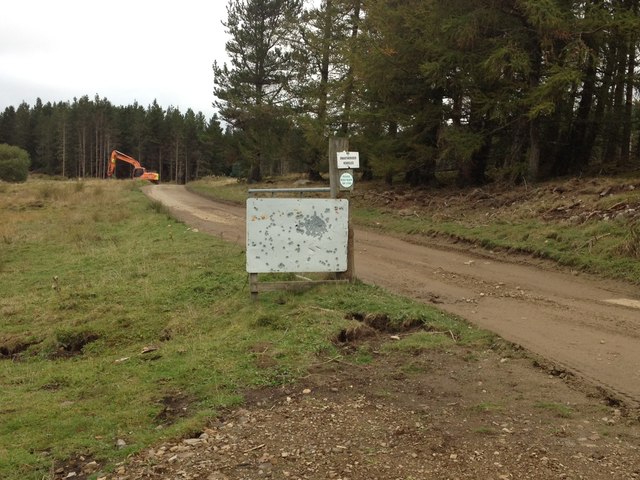
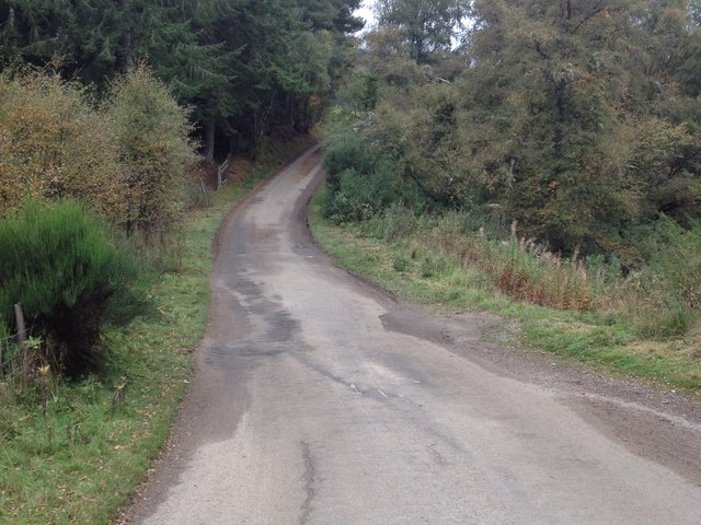
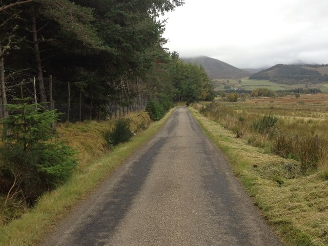
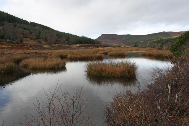
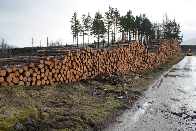
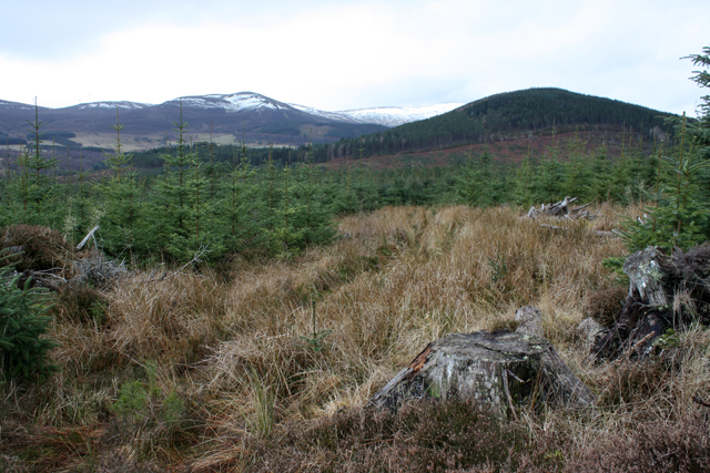
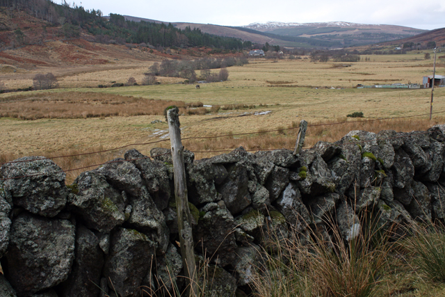
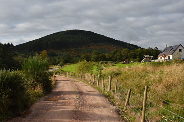
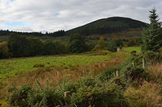
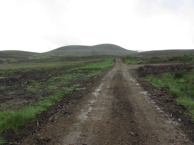
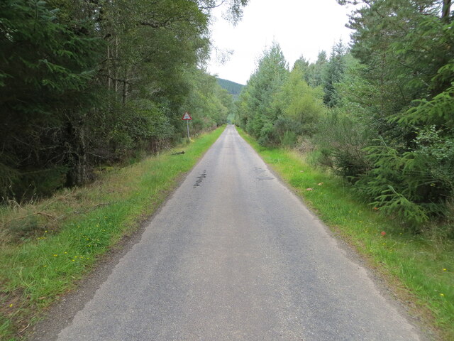
Boath Images

Images are sourced within 2km of 57.730858/-4.3845458 or Grid Reference NH5873. Thanks to Geograph Open Source API. All images are credited.

Looking to Acharn
Looking to Acharn
Ballavoulen
Ballavoulen
Fishing Beat on the Novar
Minor road to Boath
Minor road to Boath
Minor road near Acharn
Track to Loch Morie
Track to Loch Morie
Minor road to Boath
Minor road to Boath
Minor road to Boath
Minor road to Boath
A boggy lochan Near the River Averon on Novar Estate.
A boggy lochan
Near the River Averon on Novar Estate.
Timber stack at Boath Areas of the conifer plantations near here are in the process of being harvested.
Timber stack at Boath
Areas of the conifer plantations near here are in the process of being harvested.
Young conifer trees In a plantation near Inchlumpie.
Young conifer trees
In a plantation near Inchlumpie.
Strath Rusdale Looking over fields at Aultanfearn.
Strath Rusdale
Looking over fields at Aultanfearn.
Inchlumpie A new house and section of forest road at Inchlumpie
Inchlumpie
A new house and section of forest road at Inchlumpie
Inchlumpie sawmill site This area of flat land by the Black Water was the site of the wartime Inchlumpie sawmill. It was wood built and powered by steam generated from the slab off cuts. Its main output for the war effort was railway sleepers and pit props all made from the lumber of Inchlumpie forest.
Inchlumpie sawmill site
This area of flat land by the Black Water was the site of the wartime Inchlumpie sawmill. It was wood built and powered by steam generated from the slab off cuts. Its main output for the war effort was railway sleepers and pit props all made from the lumber of Inchlumpie forest.
Track leading towards Cnoc Ceislein near Evanton
Minor road approaching Inchlumpie Looking north-westward.
Minor road approaching Inchlumpie
Looking north-westward.
Minor road approaching Aultanfearn Looking north-westward.
Minor road approaching Aultanfearn
Looking north-westward.
Minor road near to Cnoc Alasdair Looking north-westward.
Minor road near to Cnoc Alasdair
Looking north-westward.
Show me another place!

Boath is located at Grid Ref: NH5873 (Lat: 57.730858, Lng: -4.3845458)

Unitary Authority: Highland

Police Authority: Highlands and Islands

What 3 Words

///fortunate.frog.juggles. Near Evanton, Highland

Nearby Locations

Boath Acharn Wood

Related Wikis

Strathrusdale

Strathrusdale (Brittonic or Scottish Gaelic/Old Norse Hybrid: Strath Rùsdail, Strath, [Brittonic/Gaelic] small valley, of Rusdale, rus, Norse for [male...

Ardross, Highland

Ardross (Scottish Gaelic: Àird Rois, high-point of [Easter] Ross) is a rural area in the Highland region of Scotland, 30 miles (48 km) north of the nearest...

Novar Wind Farm

Novar Wind Farm is a 50 turbine, 53.8 megawatt wind farm located in the Scottish Highlands. Constructed in 1997, Novar was of the earlier developments...
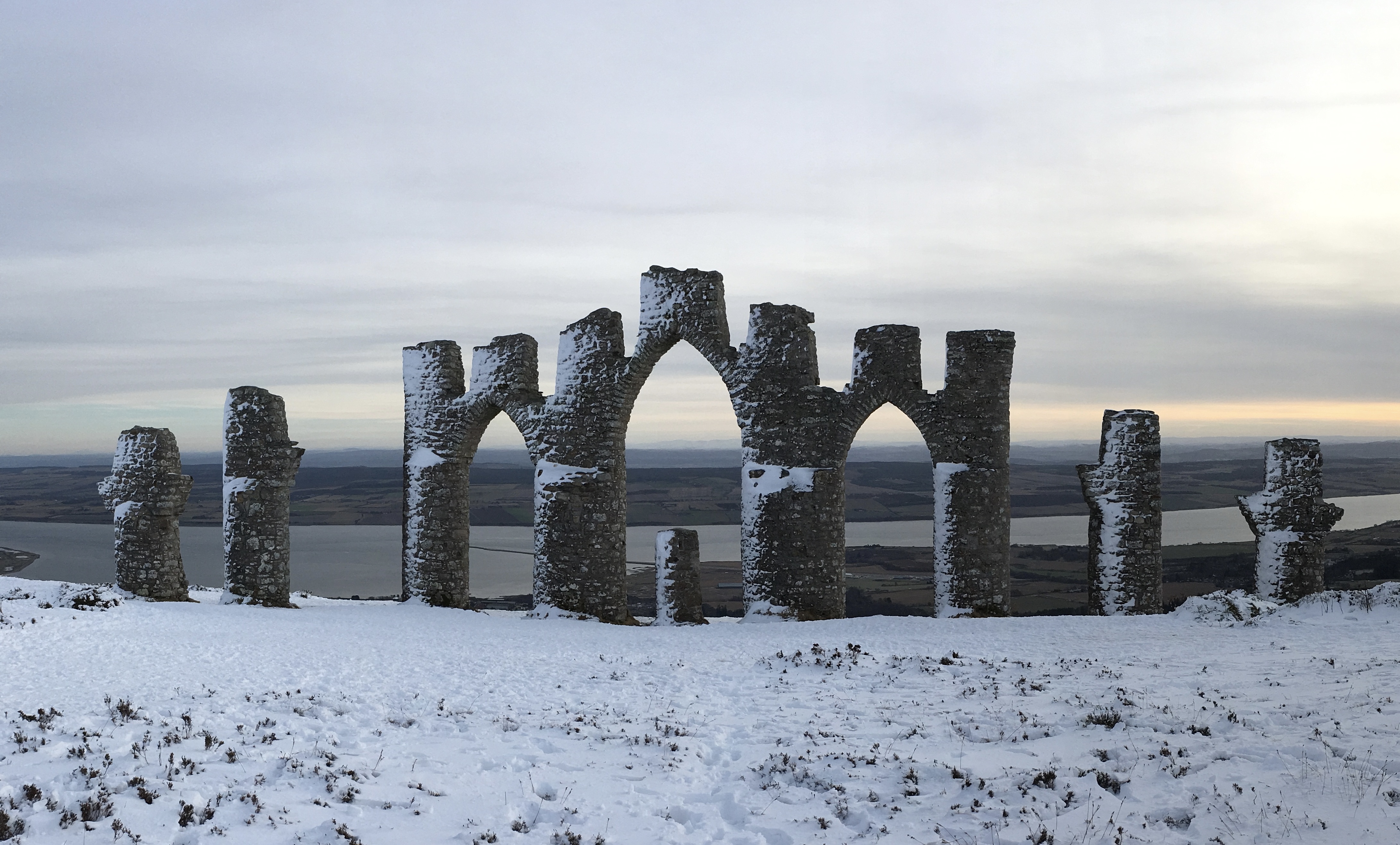
Fyrish Monument

The Fyrish Monument is a monument built in 1782 on Fyrish Hill (Scottish Gaelic: Cnoc Fhaoighris), in Fyrish in Evanton, near Alness, Easter Ross, Scotland...

Nearby Amenities

Located within 500m of 57.730858,-4.3845458
Boath
Name Gd: Na Bothachan
Place: hamlet
Lat/Long: 57.7322528/-4.3896508
Power: pole
Lat/Long: 57.7328377/-4.3911189
Power: pole
Lat/Long: 57.7326568/-4.3901124
Power: pole
Lat/Long: 57.7324499/-4.3890734
Power: pole
Lat/Long: 57.7322603/-4.388069
Power: pole
Lat/Long: 57.732074/-4.3870625
Power: pole
Lat/Long: 57.7318085/-4.3860479
Power: pole
Lat/Long: 57.7315594/-4.3850516
Power: pole
Lat/Long: 57.7312723/-4.3839355
Power: pole
Lat/Long: 57.7309938/-4.3828255
Power: pole
Lat/Long: 57.7306959/-4.381675
Power: pole
Lat/Long: 57.7303991/-4.3803215
Power: pole
Lat/Long: 57.7286509/-4.3859282
Power: pole
Lat/Long: 57.7291049/-4.3849866
Power: pole
Lat/Long: 57.7295567/-4.384041
Power: pole
Lat/Long: 57.7300074/-4.3831177
Power: pole
Lat/Long: 57.7303108/-4.3824806
Power: pole
Lat/Long: 57.7311125/-4.3808349
Power: pole
Lat/Long: 57.7315236/-4.3799532
Power: pole
Lat/Long: 57.7318416/-4.3788747
Power: pole
Lat/Long: 57.732087/-4.3780691
Power: pole
Lat/Long: 57.7323145/-4.3772614
Wester Knocklea
Locality: abandoned_place
Place: locality
Lat/Long: 57.7336735/-4.3842555
Acharn
Name Gd: Achadh Chàrn
Place: locality
Lat/Long: 57.731726/-4.3776036
Balnagrotchen
Name Gd: Bail' nan Croitean
Place: isolated_dwelling
Lat/Long: 57.7284953/-4.3849636
The data included in this document is from www.openstreetmap.org. The data is made available under ODbL.

Have you been to Boath?

Leave your review of Boath below (or comments, questions and feedback).