Boardy Green
Settlement in Suffolk East Suffolk
England
Boardy Green
Boardy Green is a small village located in the county of Suffolk, England. Situated approximately 8 miles southeast of the market town of Bury St Edmunds, Boardy Green is nestled in the heart of the picturesque countryside that characterizes this region. The village is part of the civil parish of Great Whelnetham.
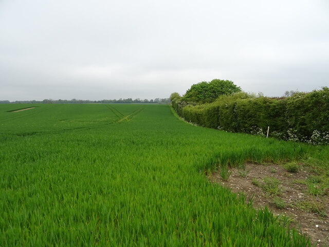
The history of Boardy Green dates back centuries, with records of a settlement in the Domesday Book of 1086. The village has traditionally relied on agriculture as its main industry, with farming playing a crucial role in shaping the local economy and landscape.
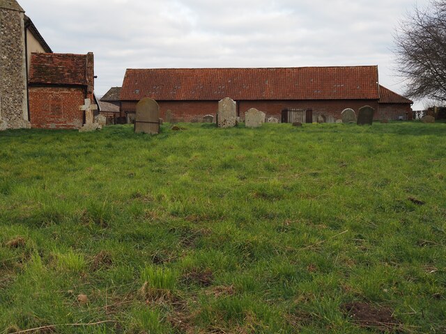
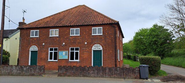
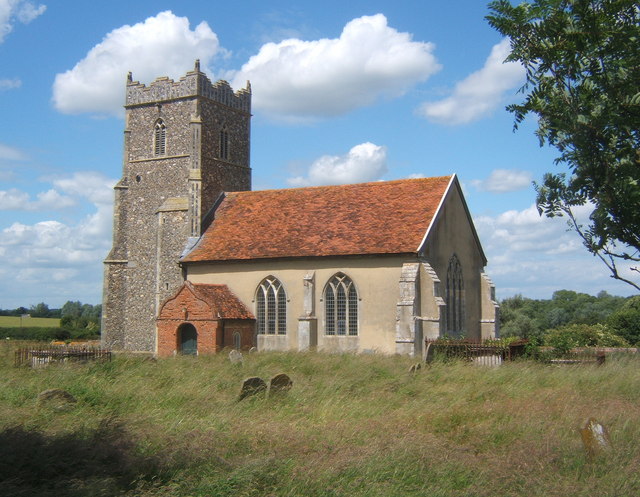
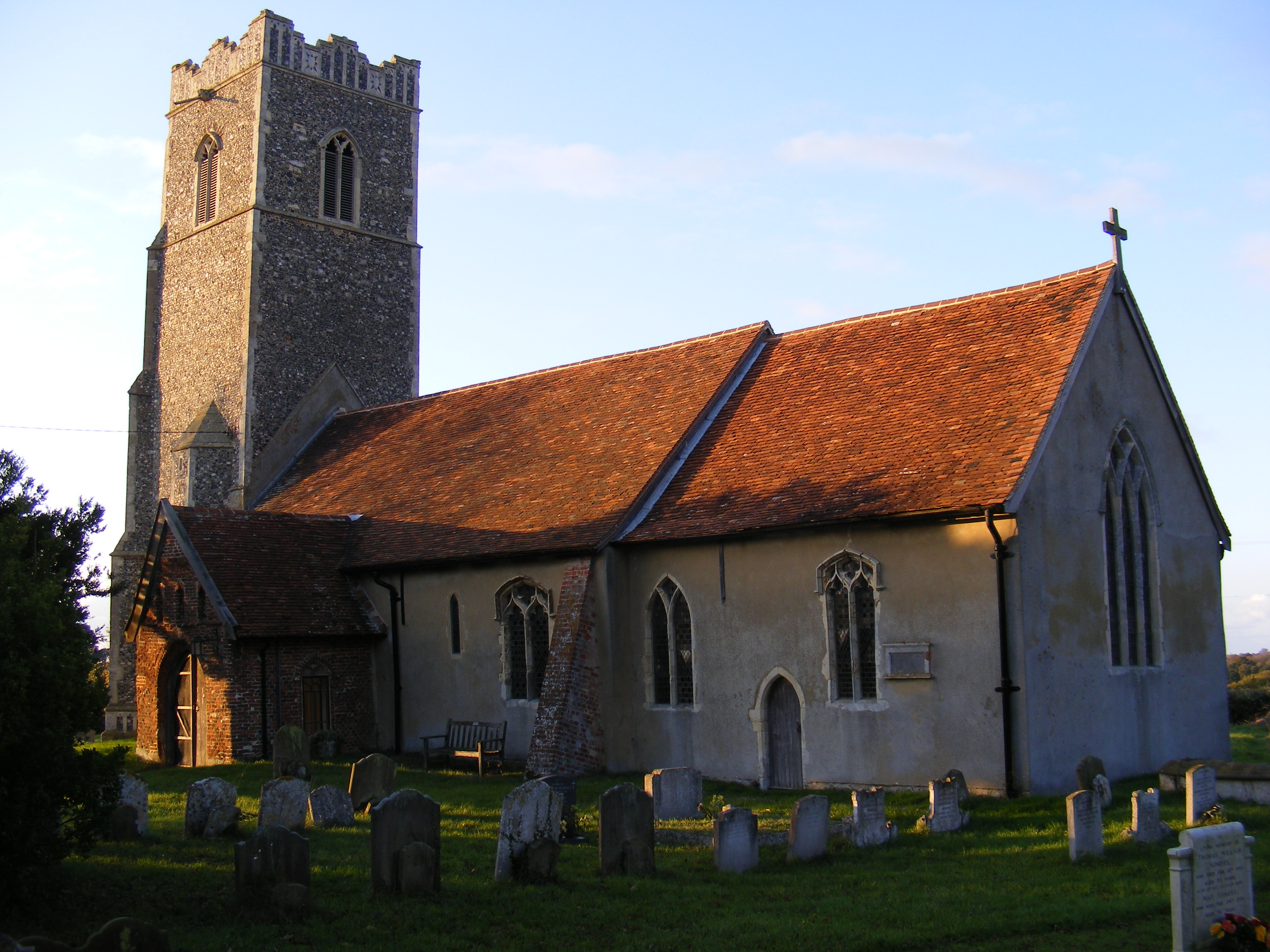
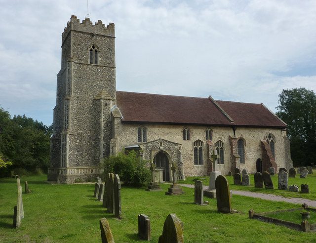
With a population of just over 200 residents, Boardy Green retains a strong sense of community. The village is known for its quaint and charming atmosphere, with a cluster of traditional cottages and farmhouses dotting the landscape. A small church, St. Mary's, stands as a prominent feature in the village, offering a place of worship for locals.
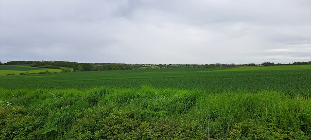
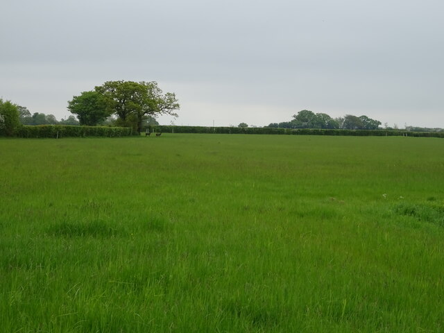
The surrounding countryside offers ample opportunities for outdoor activities, such as hiking, cycling, and nature walks. The village is also within close proximity to several larger towns and cities, including Bury St Edmunds, which provide access to a range of amenities and services.
In conclusion, Boardy Green is a tranquil and idyllic village in Suffolk, offering a peaceful retreat from the hustle and bustle of city life. With its rich history, strong community spirit, and stunning countryside, it is a place that preserves the essence of rural England.
If you have any feedback on the listing, please let us know in the comments section below.
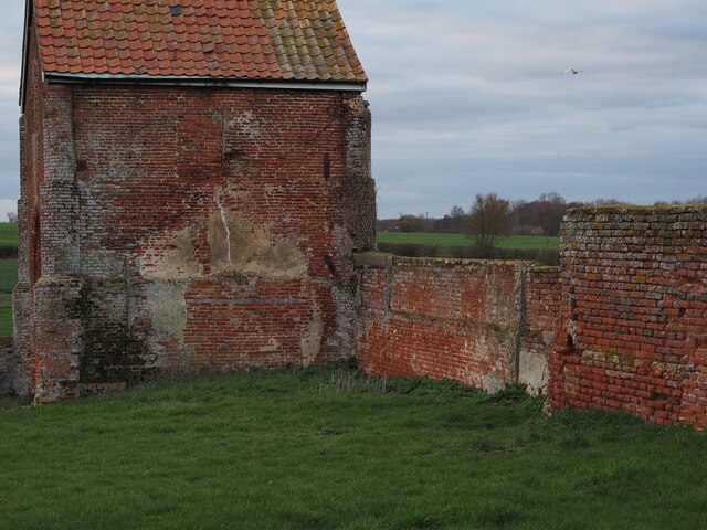
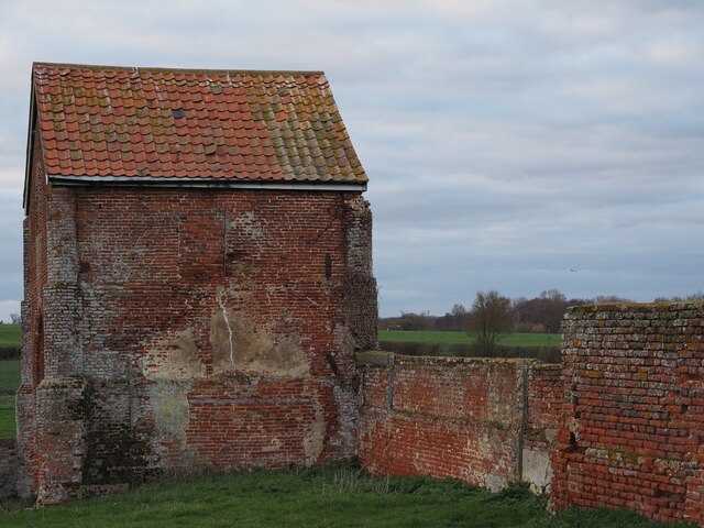
Boardy Green Images
Images are sourced within 2km of 52.166154/1.2964338 or Grid Reference TM2557. Thanks to Geograph Open Source API. All images are credited.


Boardy Green is located at Grid Ref: TM2557 (Lat: 52.166154, Lng: 1.2964338)
Administrative County: Suffolk
District: East Suffolk
Police Authority: Suffolk
What 3 Words
///kite.establish.fades. Near Wickham Market, Suffolk
Nearby Locations
Related Wikis

Charsfield
Charsfield is a small Suffolk village of 342 residents, 3 miles (4.8 km) from Wickham Market, 7 miles (11 km) from Woodbridge and 12 miles (19 km) from...

Hoo, Suffolk
Hoo is a village and civil parish in the East Suffolk district of the English county of Suffolk. It is located 3 miles (4.8 km) north-west of the town...
Letheringham
Letheringham is a sparsely populated civil parish in the East Suffolk district (formerly Deben Rural District and then Suffolk Coastal) in Suffolk, England...
Monewden
Monewden ( MON-ə-dən) is a small village and a civil parish in the hundred of Loss (Also: Loes, Loose), in the East Suffolk District, in the English county...
Kettleburgh
Kettleburgh is a small village and civil parish in the East Suffolk district, in the county of Suffolk. The population of this Civil Parish at the 2011...

Dallinghoo
Dallinghoo is a village about three miles (5 km) north of Woodbridge, Suffolk, England. == Location == Dallinghoo is formed from Church Road to the west...

Martins' Meadows
Monewden Meadows is a 3.7-hectare (9.1-acre) biological Site of Special Scientific Interest south-west of Monewden in Suffolk. It is a Nature Conservation...

High House Meadows, Monewden
High House Meadows, Monewden is a three hectare biological Site of Special Scientific Interest west of Monewden in Suffolk.These unimproved meadows have...
Nearby Amenities
Located within 500m of 52.166154,1.2964338Have you been to Boardy Green?
Leave your review of Boardy Green below (or comments, questions and feedback).