Blaen-Cil-Llech

Settlement in Cardiganshire

Wales

Blaen-Cil-Llech

A475 southeast of Llandyfriog
A475 southeast of Llandyfriog Credit: Stuart Logan

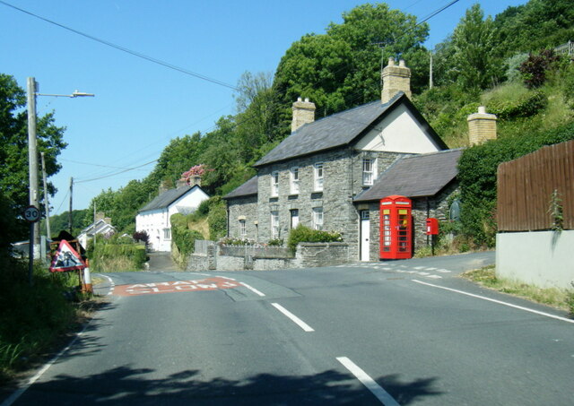
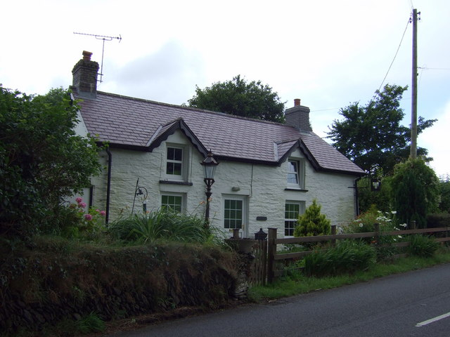
Blaen-Cil-Llech is a small village located in the county of Cardiganshire, Wales. Situated in the scenic countryside, the village is nestled in the foothills of the Cambrian Mountains. With a population of around 300 residents, it offers a tranquil and close-knit community atmosphere.

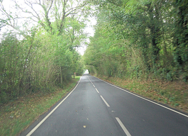
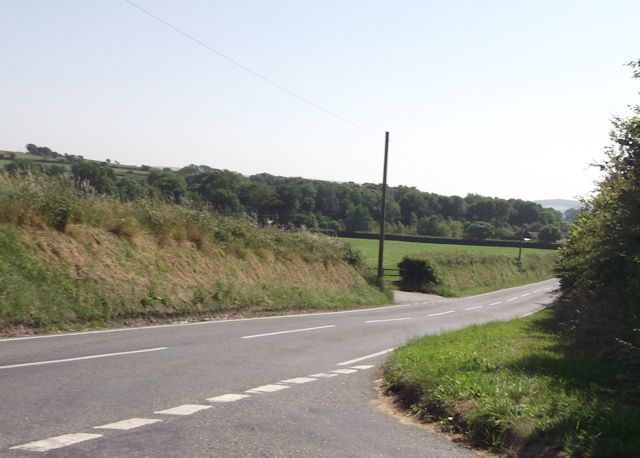
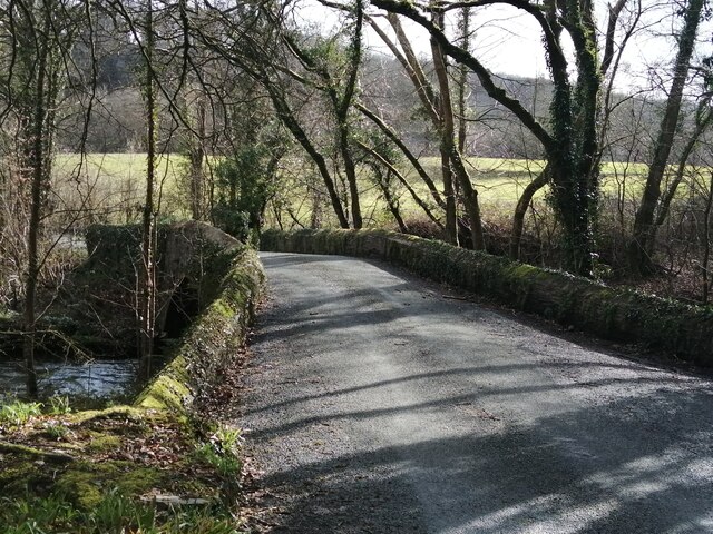
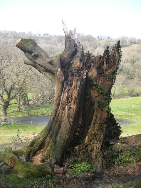
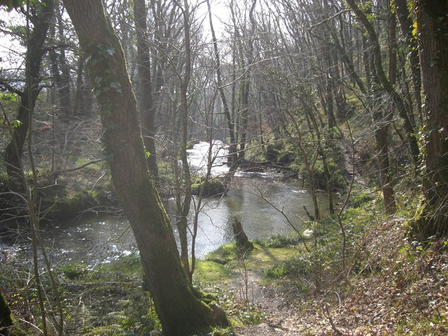
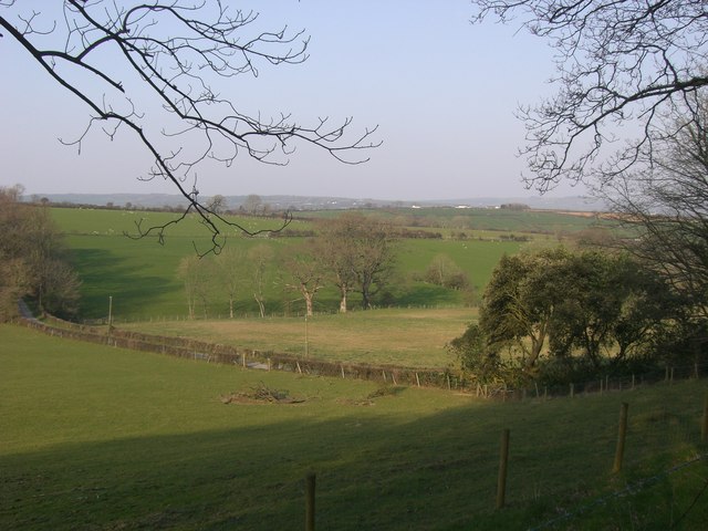
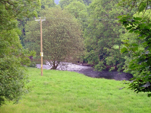
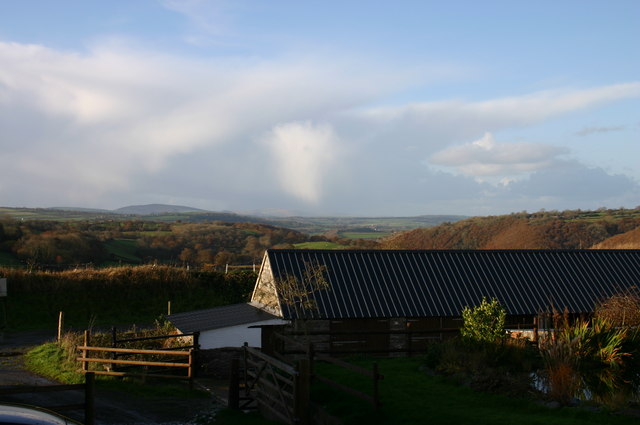
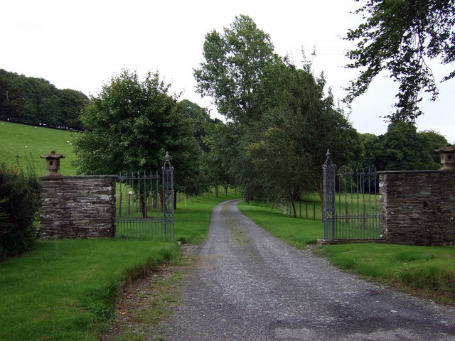
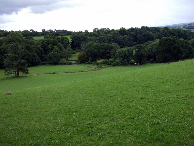
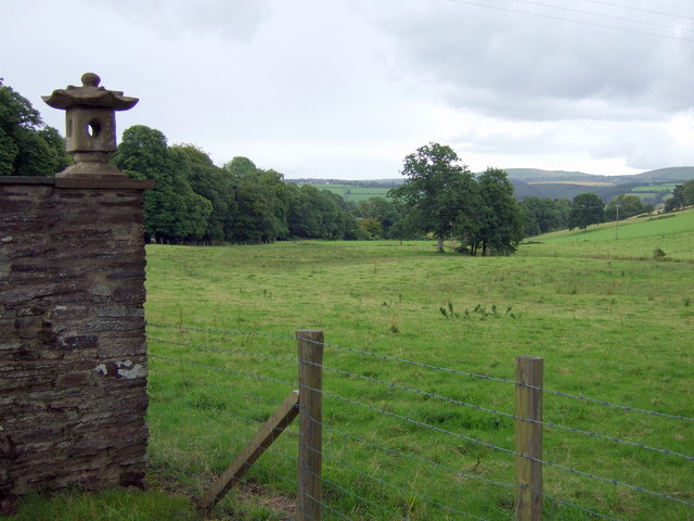
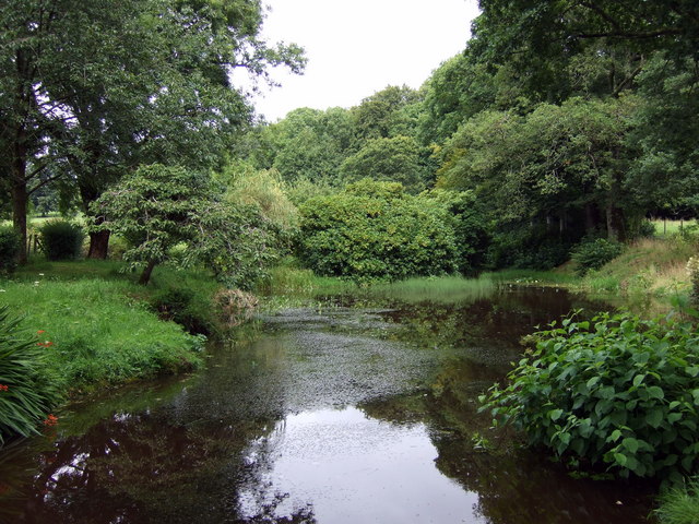
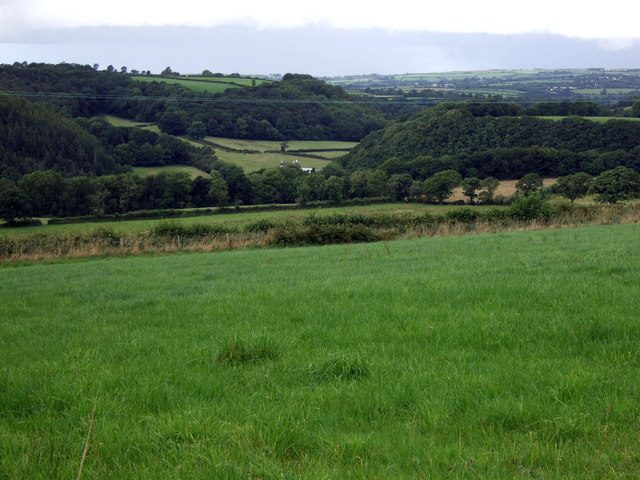
The village is characterized by its picturesque surroundings, with rolling green hills, meandering streams, and dense woodlands. The landscape offers ample opportunities for outdoor activities such as hiking, cycling, and fishing, attracting nature enthusiasts and tourists alike.

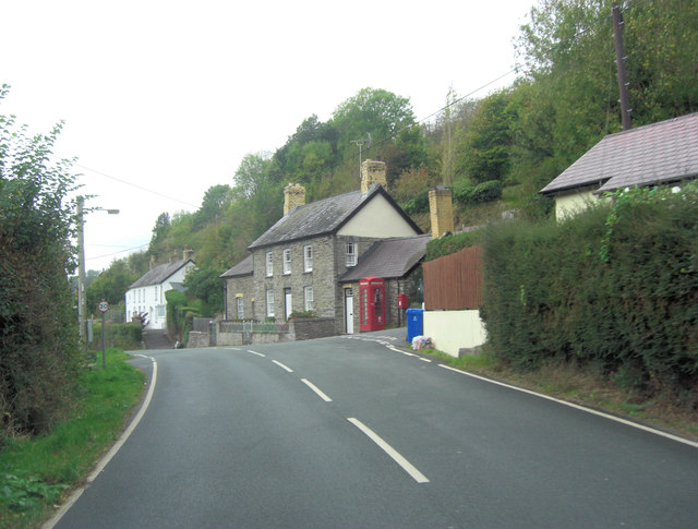
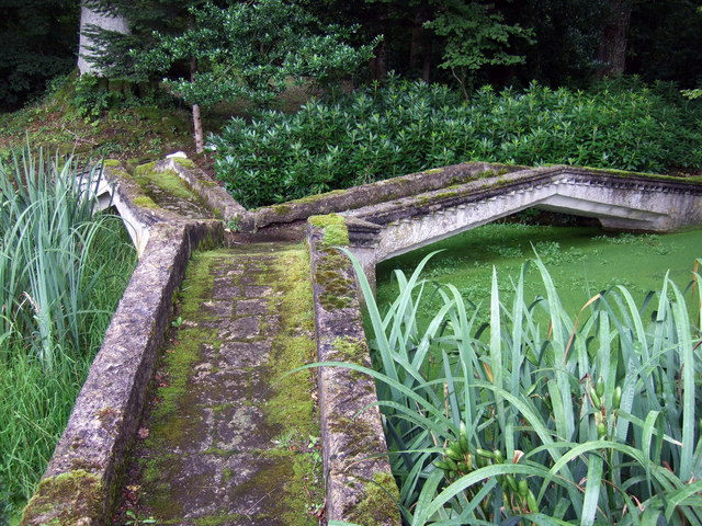
Blaen-Cil-Llech is known for its rich history, with several notable landmarks and historical sites. The village church, dating back to the 12th century, is a prominent architectural gem, featuring intricate stonework and stained glass windows. Additionally, the remains of a medieval castle can be found on the outskirts of the village, providing a glimpse into the area's past.

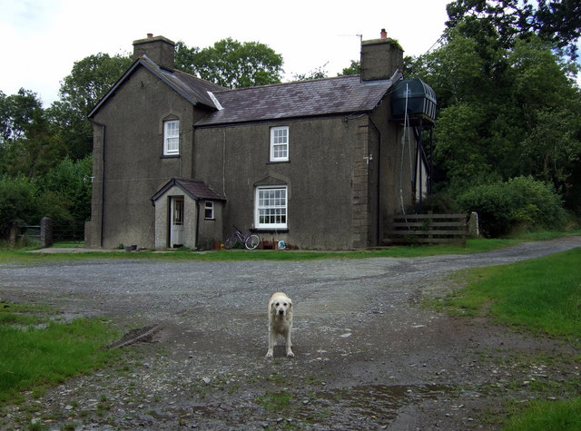
The village offers a range of amenities to cater to the needs of its residents. There is a local primary school, a village hall, and a community center that hosts various events and activities. Additionally, a small number of shops and businesses serve the local population, providing essentials and services.

Transportation in Blaen-Cil-Llech is primarily reliant on private vehicles, with limited public transport links. However, the village is well-connected to neighboring towns and cities via a network of roads, making it accessible for those seeking a peaceful retreat while still having access to urban facilities.

In conclusion, Blaen-Cil-Llech is a charming village in Cardiganshire, offering a serene environment, rich history, and a close-knit community that appreciates the beauty of the surrounding countryside.

If you have any feedback on the listing, please let us know in the comments section below.

Blaen-Cil-Llech Images

Images are sourced within 2km of 52.060907/-4.4416243 or Grid Reference SN3243. Thanks to Geograph Open Source API. All images are credited.

A475 southeast of Llandyfriog
A475 passes through Llandyfriog
Road junction at Blaen-Cil-Llech
Stone bridge at Cwmdu Georgian stone bridge, dated 1812, at Cwmdu, crossing over the River Ceri.
Stone bridge at Cwmdu
Georgian stone bridge, dated 1812, at Cwmdu, crossing over the River Ceri.
A475 in Llandyfriog
A475 in Llandyfriog
Storm Torn Tree Having been damaged in a storm this tree is now host to fungi and ivy.
Storm Torn Tree
Having been damaged in a storm this tree is now host to fungi and ivy.
The Afon Ceri The Afon Ceri is a tributary to the Afon Teifi that weaves its fluid path through the Teifi Valley of West Wales. The word 'afon' is welsh for 'river'.
The Afon Ceri
The Afon Ceri is a tributary to the Afon Teifi that weaves its fluid path through the Teifi Valley of West Wales. The word 'afon' is welsh for 'river'.
Pasture Land Pasture land for grazing sheep and cattle.
Pasture Land
Pasture land for grazing sheep and cattle.
Meadow on the Teifi, Llandyfrïog
Winter's afternoon Distant storm brewing.
Winter's afternoon
Distant storm brewing.
Entrance to Old Cilgwyn Old Cilgwyn, at the centre of a 900-acre estate, possesses a remarkable 14-acre garden filled with rare plants and specimen trees, open to the public at specified times.
Entrance to Old Cilgwyn
Old Cilgwyn, at the centre of a 900-acre estate, possesses a remarkable 14-acre garden filled with rare plants and specimen trees, open to the public at specified times.
Blaenant Farm at the top of the old carriage road leading down to Llandyfriog.
Blaenant
Farm at the top of the old carriage road leading down to Llandyfriog.
The view towards Old Cilgwyn This sheltered, well-watered valley contains a series of ornamental lakes and ponds (just visible through the trees) that form part of the garden of Old Cilgwyn.
The view towards Old Cilgwyn
This sheltered, well-watered valley contains a series of ornamental lakes and ponds (just visible through the trees) that form part of the garden of Old Cilgwyn.
Cottage once a pub Cottage standing opposite the entrance to Old Cilgwyn was once a pub and its sign still hangs at the end (right).
Cottage once a pub
Cottage standing opposite the entrance to Old Cilgwyn was once a pub and its sign still hangs at the end (right).
Parkland Seen here from the entrance to Old Cilgwyn is part of a 900-acre estate running down towards the Teifi. It includes Sites of Special Scientific Interest.
Parkland
Seen here from the entrance to Old Cilgwyn is part of a 900-acre estate running down towards the Teifi. It includes Sites of Special Scientific Interest.
Three-way bridge at Old Cilgwyn Unusual concrete bridge designed by the early C20 land-owner to span an ornamental pond in the grounds.
Three-way bridge at Old Cilgwyn
Unusual concrete bridge designed by the early C20 land-owner to span an ornamental pond in the grounds.
Ornamental water features at Old Cilgwyn One of a series of pools in this beautiful woodland garden, open to the public by appointment or for fund-raising days. The rhododendrons, when in bloom, are a special attraction.
Ornamental water features at Old Cilgwyn
One of a series of pools in this beautiful woodland garden, open to the public by appointment or for fund-raising days. The rhododendrons, when in bloom, are a special attraction.
Cwm Ceri to the northeast View towards Cafan Farm and beyond that the upper valley of the Afon Ceri which snakes down towards its confluence with the Teifi at Cwm-cou.
Cwm Ceri to the northeast
View towards Cafan Farm and beyond that the upper valley of the Afon Ceri which snakes down towards its confluence with the Teifi at Cwm-cou.
Show me another place!

Blaen-Cil-Llech is located at Grid Ref: SN3243 (Lat: 52.060907, Lng: -4.4416243)

Unitary Authority: Ceredigion

Police Authority: Dyfed Powys

What 3 Words

///teaches.picnic.rainy. Near Newcastle Emlyn, Ceredigion

Related Wikis

Llandyfriog

Llandyfriog is a community in Ceredigion, Wales. It includes the Adpar part of Newcastle Emlyn and the villages, Bangor Teifi, Trebedw, Bryndioddef-isaf...

Bryndioddef-isaf

Bryndioddef-isaf is a hamlet in the community of Llandyfriog, Ceredigion, Wales, which is 67.6 miles (108.8 km) from Cardiff and 189.1 miles (304.2 km...

Brongest

Brongest is a small village in the community of Troedyraur, Ceredigion, Wales, which is 68.4 miles (110.1 km) from Cardiff and 188.9 miles (303.9 km)...

Bronwydd Castle

Bronwydd Castle (or simply Bronwydd) was a Welsh country house in Cardiganshire, owned by the Lloyd family. It is just south of Llangynllo/Llangunllo,...

Nearby Amenities

Located within 500m of 52.060907,-4.4416243
Place: farm
Lat/Long: 52.062128/-4.4353302
Direction: 165
Generator Method: photovoltaic
Generator Output Electricity: yes
Generator Solar Modules: 3
Generator Source: solar
Generator Type: solar_photovoltaic_panel
Location: roof
Power: generator
Lat/Long: 52.0620687/-4.4351989
Direction: 165
Generator Method: photovoltaic
Generator Output Electricity: yes
Generator Solar Modules: 13
Generator Source: solar
Generator Type: solar_photovoltaic_panel
Location: roof
Power: generator
Lat/Long: 52.0620559/-4.4352566
The data included in this document is from www.openstreetmap.org. The data is made available under ODbL.

Have you been to Blaen-Cil-Llech?

Leave your review of Blaen-Cil-Llech below (or comments, questions and feedback).