Blaenrhondda
Settlement in Glamorgan
Wales
Blaenrhondda
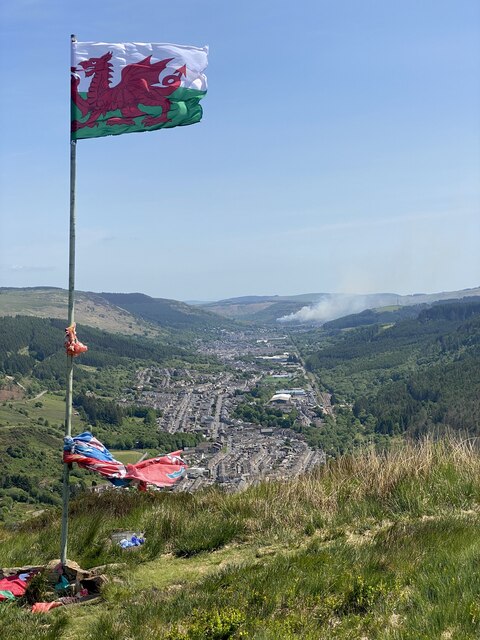
Blaenrhondda is a small village located in the Rhondda Valley, within the county borough of Rhondda Cynon Taf in Glamorgan, Wales. It is situated approximately 3 miles north of Treorchy and 17 miles northwest of Cardiff, the capital city of Wales.
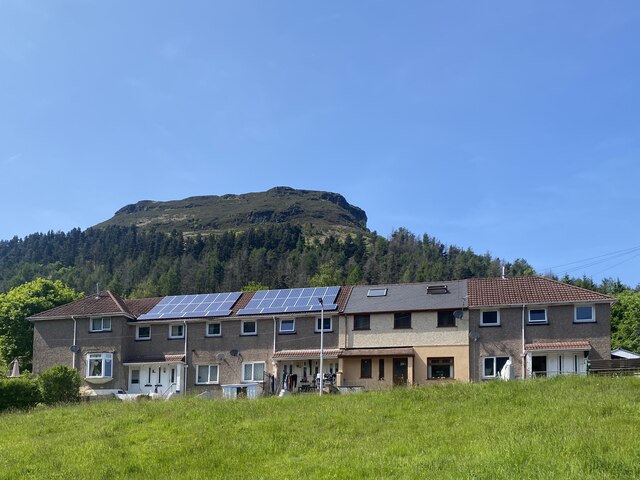
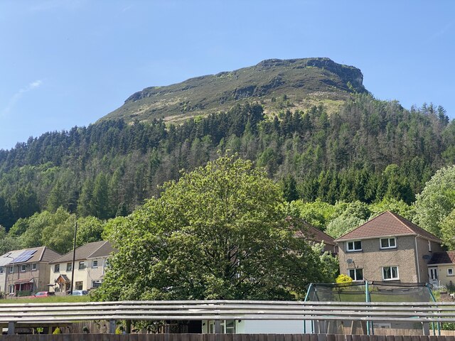
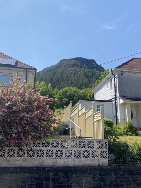
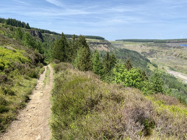
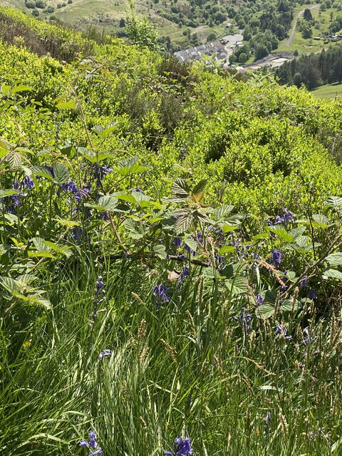
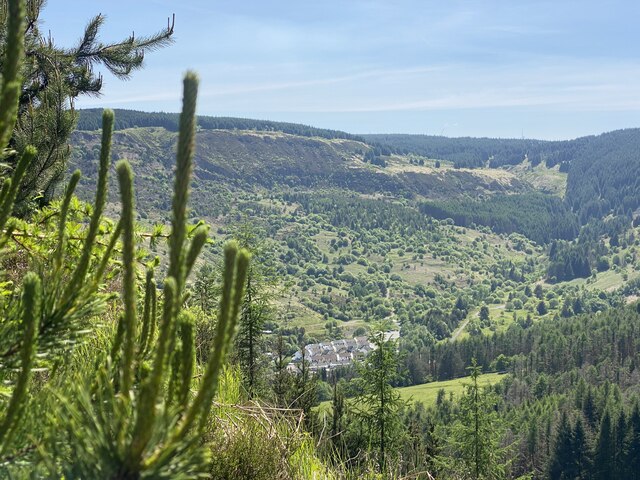
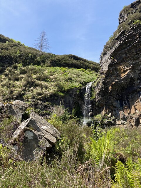
The village is nestled within the beautiful Welsh countryside, surrounded by rolling hills and valleys. Blaenrhondda was historically a mining community, with coal mining being the main industry in the area during the late 19th and early 20th centuries. The village grew rapidly during this time, as workers flocked to the area seeking employment in the coal mines.
Today, Blaenrhondda retains much of its historical charm and character. The village is primarily residential, with a close-knit community that takes pride in its heritage. It offers a peaceful and picturesque environment, making it a desirable place to live for those seeking a quieter lifestyle away from the hustle and bustle of larger towns and cities.
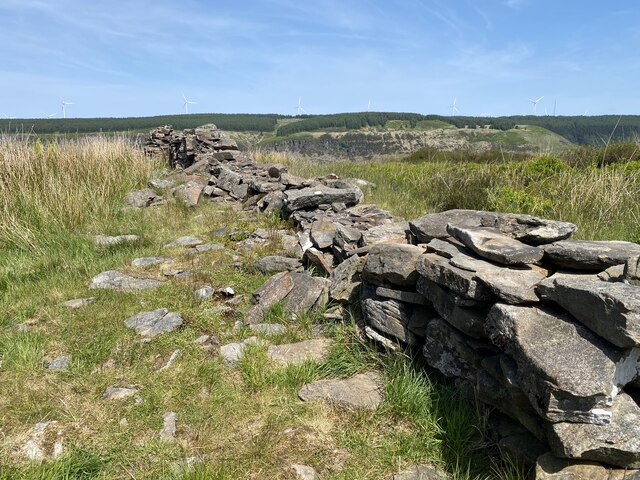
Although the mining industry has declined, the village still has some remnants of its past, including old mining buildings and the occasional colliery spoil tip. The village is also home to a number of amenities, including a primary school, local shops, and a community center, which serves as a hub for social gatherings and events.
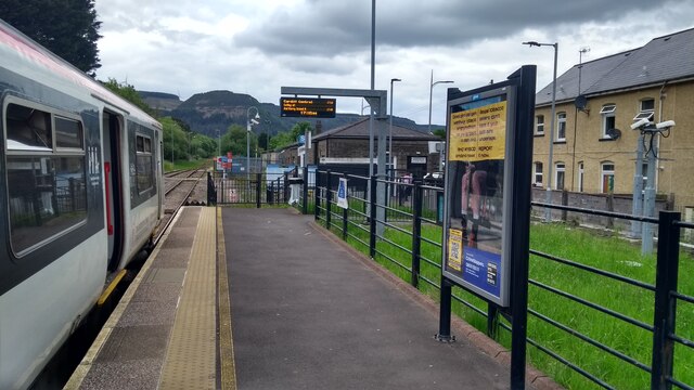
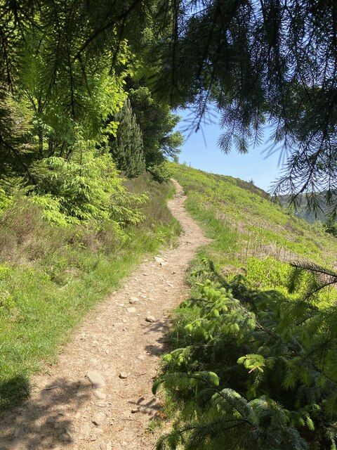
Blaenrhondda is well-connected to nearby towns and cities through a network of roads, making it easily accessible for both residents and visitors alike. The surrounding area offers opportunities for outdoor activities such as hiking, cycling, and exploring the nearby Rhondda Heritage Park, which provides insight into the region's industrial past.
If you have any feedback on the listing, please let us know in the comments section below.
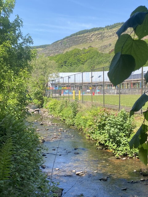
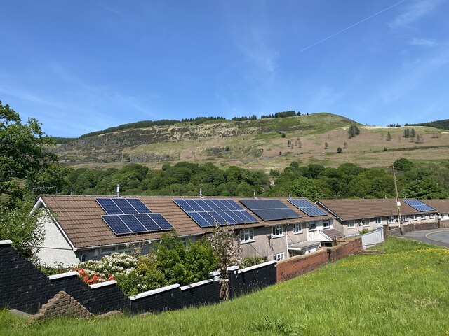
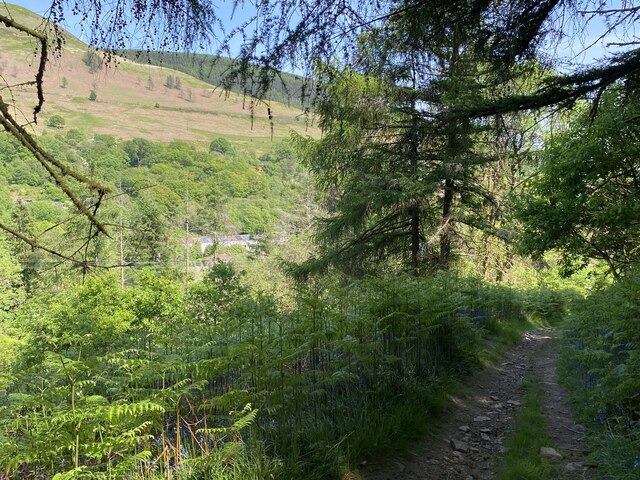
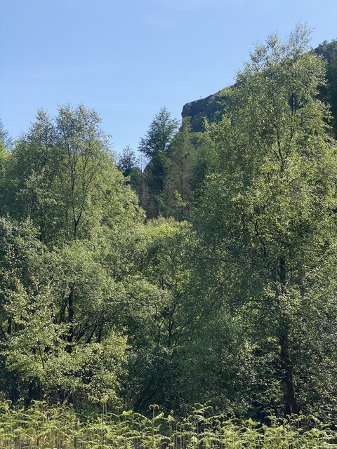
Blaenrhondda Images
Images are sourced within 2km of 51.688777/-3.5541217 or Grid Reference SN9200. Thanks to Geograph Open Source API. All images are credited.


Blaenrhondda is located at Grid Ref: SN9200 (Lat: 51.688777, Lng: -3.5541217)
Unitary Authority: Rhondda Cynon Taf
Police Authority: South Wales
What 3 Words
///snug.drums.nurses. Near Treherbert, Rhondda Cynon Taf
Nearby Locations
Related Wikis

Blaenrhondda
Blaenrhondda is a village in the county borough of Rhondda Cynon Taf, Wales, lying at the head the Rhondda Fawr valley. Blaenrhondda is a village and...

Blaenrhondda Road Cutting
Blaenrhondda Road Cutting is a Site of Special Scientific Interest in Glamorgan, south Wales. Located along the A4061 road above the village of Blaenrhondda...
Tynewydd, Rhondda Cynon Taf
Tynewydd is a village located in the County Borough of Rhondda Cynon Taf, south Wales. With Treherbert, Blaencwm, Blaenrhondda and Pen-yr-englyn it is...
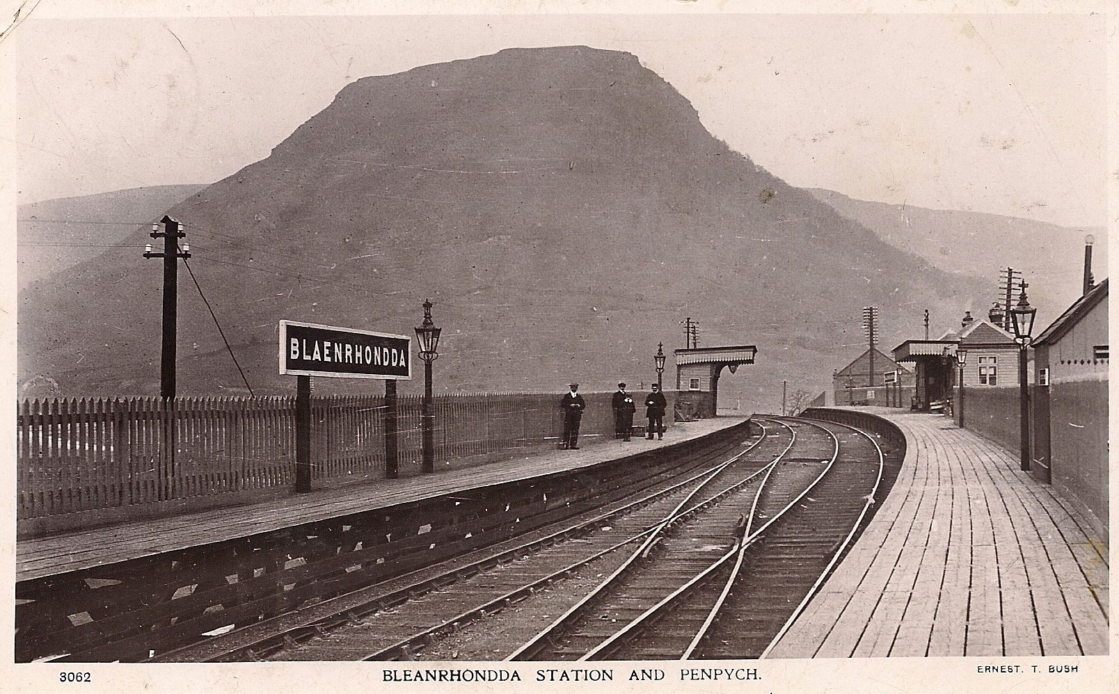
Blaenrhondda railway station
Blaenrhondda railway station served the village of Blaenrhondda, in the historical county of Glamorganshire, Wales, from 1890 to 1968 on the Rhondda and...
Nearby Amenities
Located within 500m of 51.688777,-3.5541217Have you been to Blaenrhondda?
Leave your review of Blaenrhondda below (or comments, questions and feedback).