Blackbrook
Settlement in Lancashire
England
Blackbrook
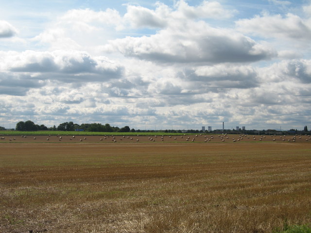
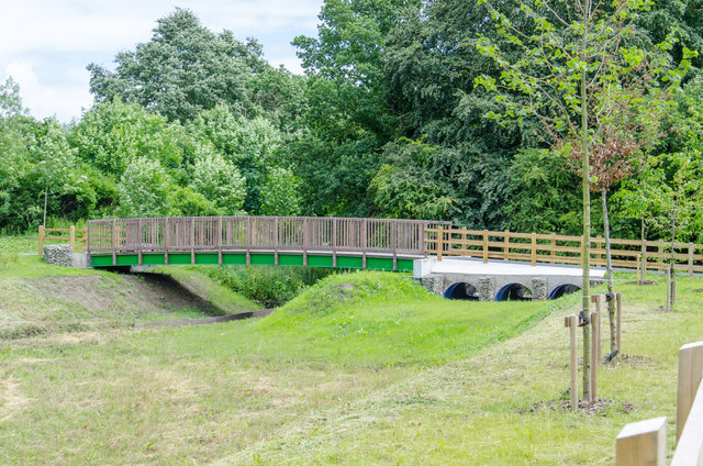
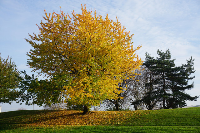
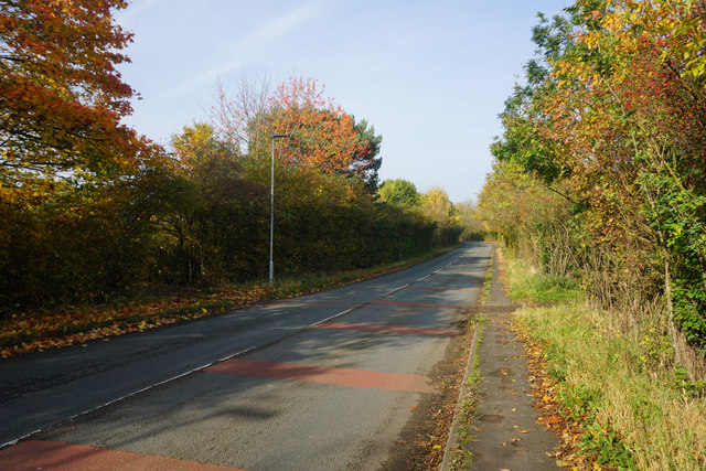
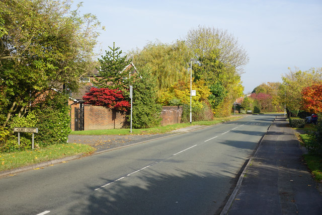
Blackbrook is a small village located in the county of Lancashire, England. Situated approximately 4 miles southeast of St Helens, Blackbrook lies within the Metropolitan Borough of St Helens. The village is surrounded by beautiful countryside, with rolling hills and green fields providing a picturesque backdrop.
Blackbrook has a long history, with evidence of settlement dating back to the Roman period. The village grew in the 19th century due to the development of coal mining in the area. However, the decline of the coal industry in the late 20th century led to a shift in the village's economy.
Today, Blackbrook is a residential area with a mix of housing styles, ranging from traditional stone cottages to more modern developments. The village has a close-knit community, with a number of local amenities to cater to the needs of its residents. These include a primary school, a post office, a community center, and a small shopping area with a few shops and cafes.
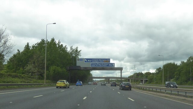
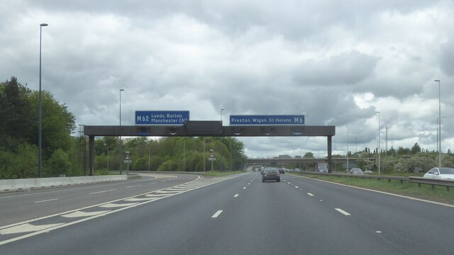
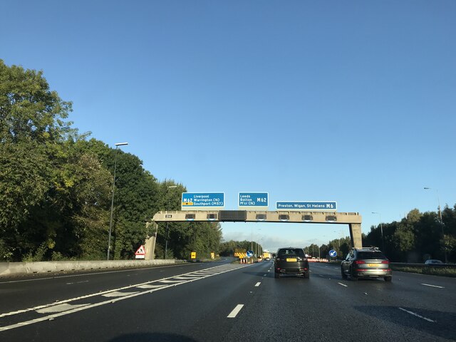
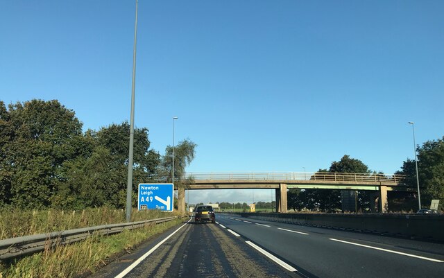
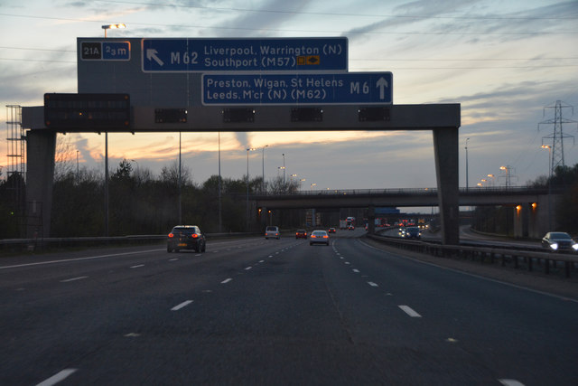
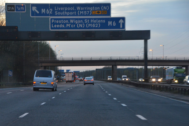
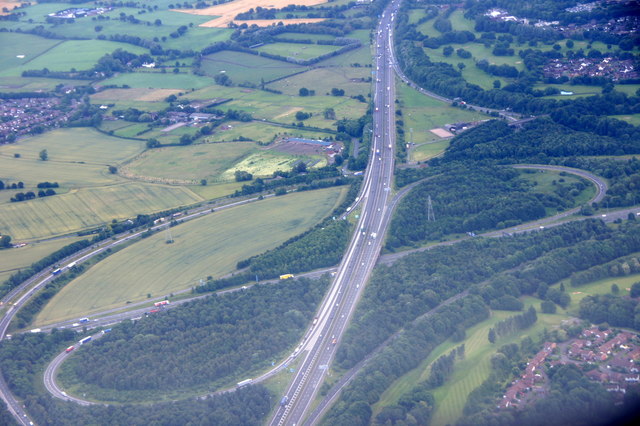
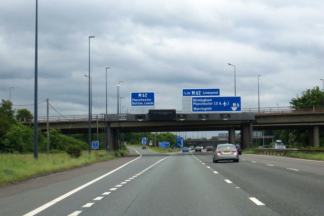
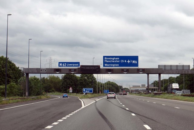
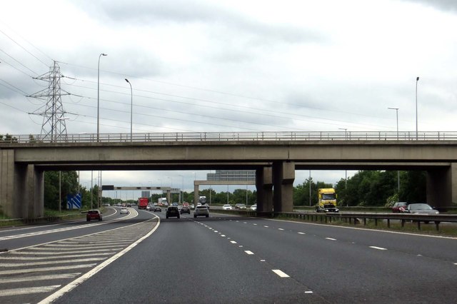
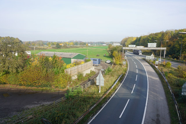
In terms of transportation, Blackbrook is well-connected to nearby towns and cities. The village is served by regular bus services, providing easy access to St Helens and other surrounding areas. The M6 motorway is also within close proximity, offering convenient links to Manchester and Liverpool.
Overall, Blackbrook is a charming village that offers a peaceful and rural lifestyle while still being within reach of nearby urban centers.
If you have any feedback on the listing, please let us know in the comments section below.
Blackbrook Images
Images are sourced within 2km of 53.41254/-2.5639998 or Grid Reference SJ6290. Thanks to Geograph Open Source API. All images are credited.

Blackbrook is located at Grid Ref: SJ6290 (Lat: 53.41254, Lng: -2.5639998)
Unitary Authority: Warrington
Police Authority: Cheshire
What 3 Words
///damp.latest.decks. Near Croft, Cheshire
Nearby Locations
Related Wikis

Padgate Academy
Padgate Academy is a coeducational secondary school located in the Padgate area of Warrington in the English county of Cheshire.It was first known as Padgate...

Padgate
Padgate is a suburb of Warrington, in the civil parish of Poulton-with-Fearnhead, in the Warrington district, in the ceremonial county of Cheshire, England...
Poulton-with-Fearnhead
Poulton-with-Fearnhead is a civil parish and suburb of Warrington, in the Borough of Warrington, Cheshire, England. According to the 2001 census it had...
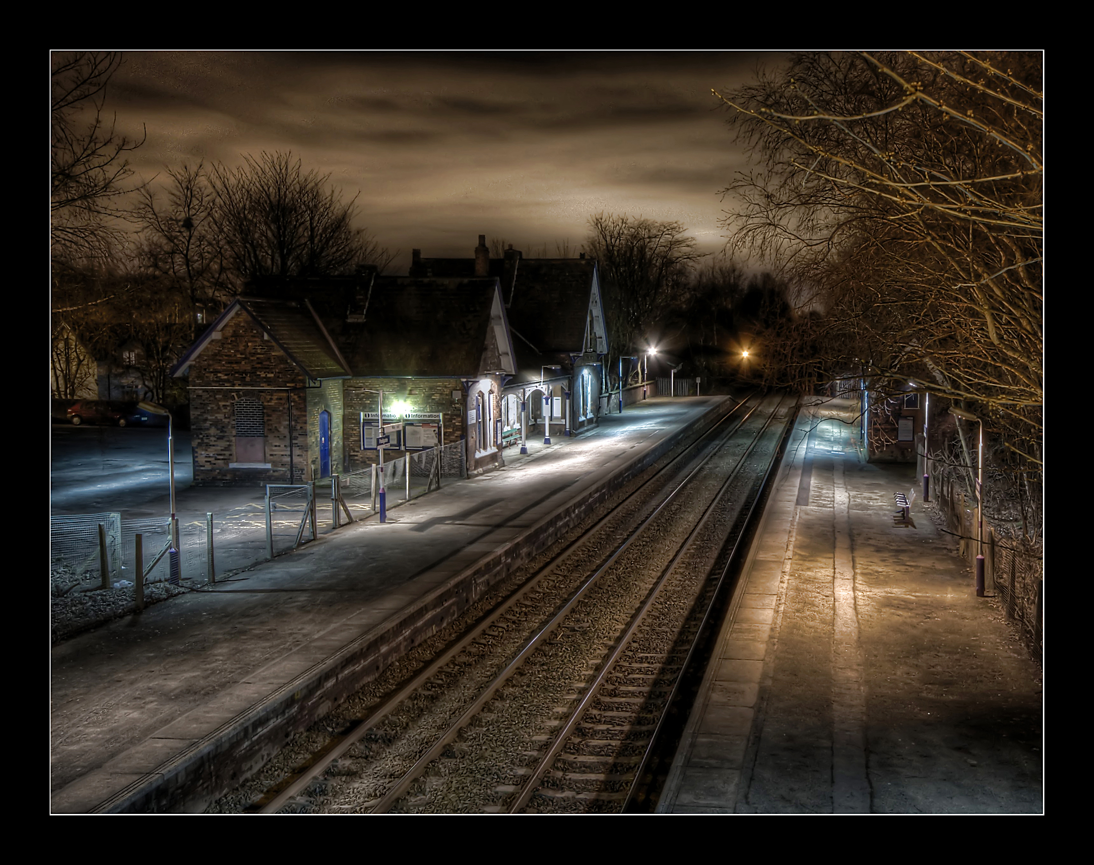
Padgate railway station
Padgate railway station is a railway station in the Padgate area of the east of the town of Warrington, in North West England. The station, and all trains...
Nearby Amenities
Located within 500m of 53.41254,-2.5639998Have you been to Blackbrook?
Leave your review of Blackbrook below (or comments, questions and feedback).