Blackbraes

Settlement in Stirlingshire

Scotland

Blackbraes

Reduced shelter belt near Boxtonhead Compare to <a href="https://www.geograph.org.uk/photo/2643055">NS8974 : Grown out shelter belt</a> in 2011
Reduced shelter belt near Boxtonhead Credit: Robert Murray

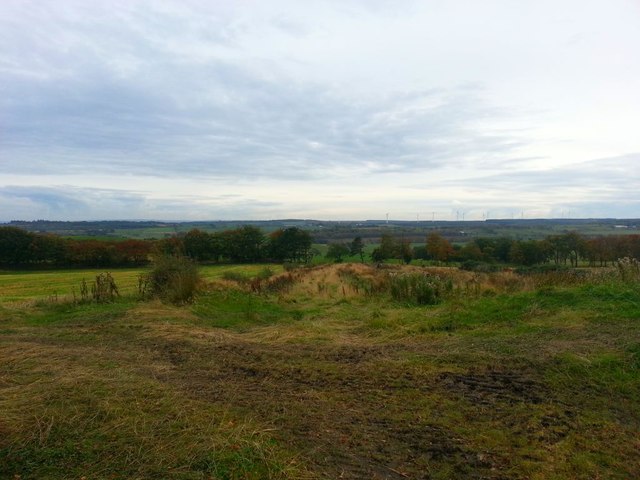
Blackbraes is a small village located in the county of Stirlingshire, Scotland. Situated approximately 4 miles northeast of Falkirk, it is nestled in the heart of the Scottish countryside, surrounded by rolling hills and lush green landscapes.

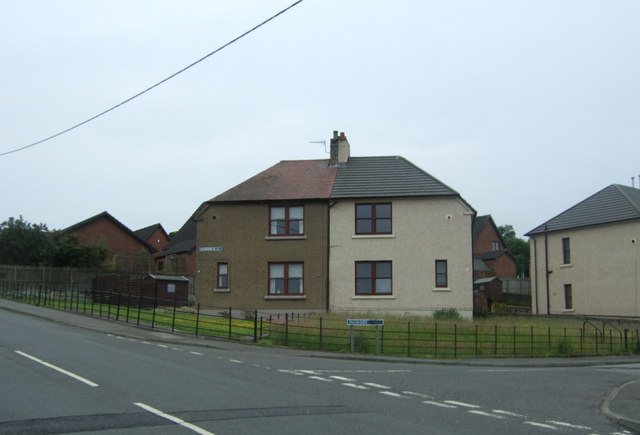
The village is home to a close-knit community of around 500 residents who enjoy the tranquility and natural beauty of the area. Blackbraes is characterized by its charming rural atmosphere and picturesque setting, making it an ideal place for those seeking a peaceful and idyllic lifestyle.

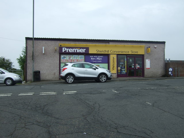
Despite its small size, Blackbraes boasts a range of amenities to cater to its residents' needs. These include a local primary school, providing education for children in the village and the surrounding areas. Additionally, there are several community facilities, such as a village hall and a sports field, which host various events and activities throughout the year.

The surrounding countryside offers ample opportunities for outdoor enthusiasts. Residents and visitors can explore the nearby Blackbraes Country Park, which features walking trails and picnic areas, allowing for a serene escape into nature. The village is also conveniently located near the larger towns of Falkirk and Stirling, offering access to a wider range of amenities, including shops, restaurants, and cultural attractions.

Overall, Blackbraes is a charming village that provides a peaceful and scenic setting for its residents. With its strong sense of community and its beautiful natural surroundings, it offers a unique and desirable place to call home.

If you have any feedback on the listing, please let us know in the comments section below.
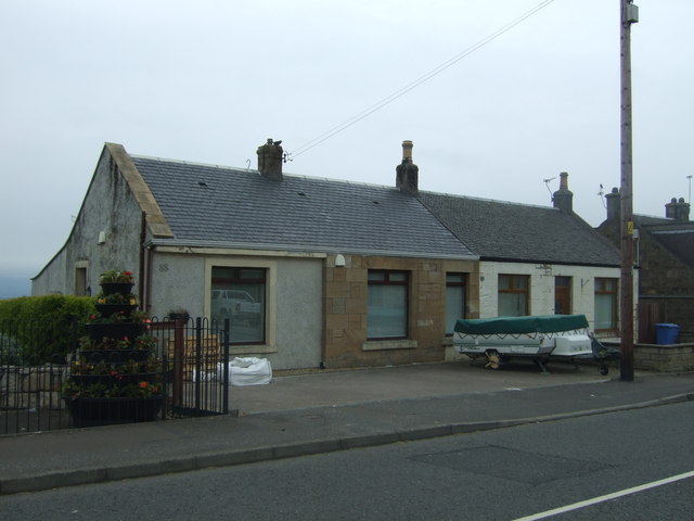
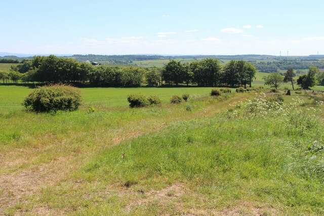
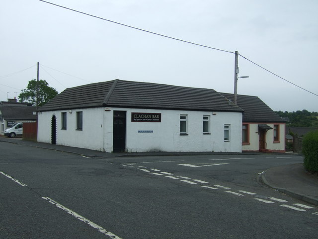
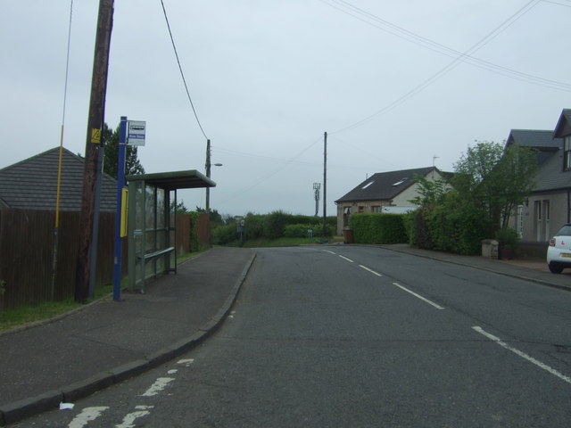
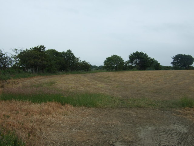
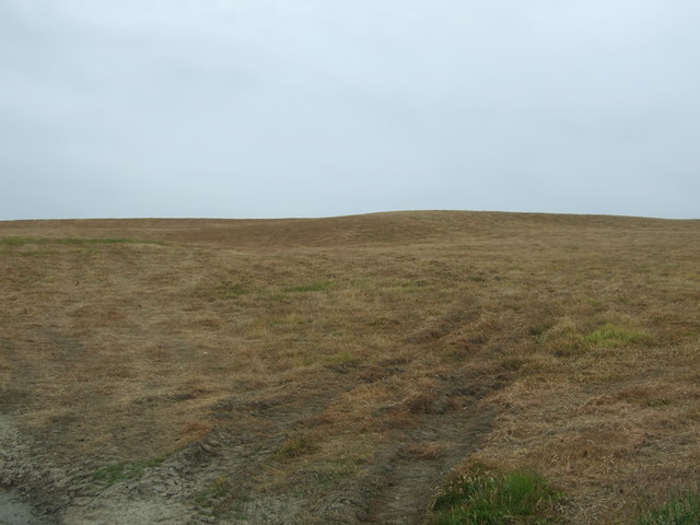
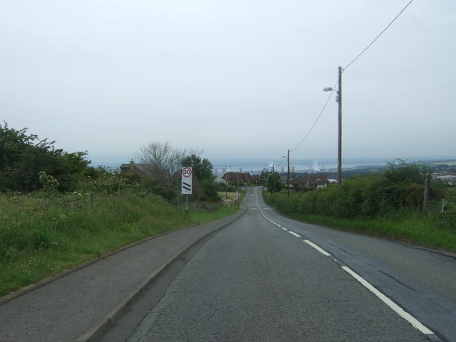
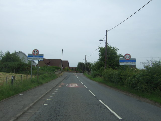
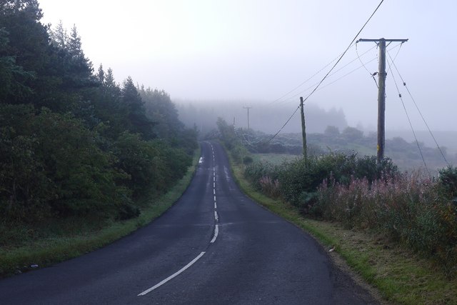
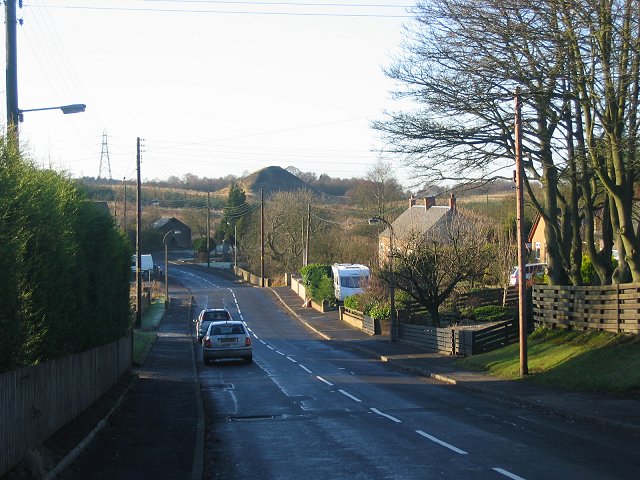
Blackbraes Images

Images are sourced within 2km of 55.960165/-3.7522049 or Grid Reference NS9075. Thanks to Geograph Open Source API. All images are credited.

Reduced shelter belt near Boxtonhead Compare to <a href="https://www.geograph.org.uk/photo/2643055">NS8974 : Grown out shelter belt</a> in 2011
Reduced shelter belt near Boxtonhead
Compare to NS8974 : Grown out shelter belt in 2011
Shieldhill Convenience Store and Post Office On Main Street.
Shieldhill Convenience Store and Post Office
On Main Street.
Houses on Patterson Drive, Shieldhill
Bus stop on Main Street, Shieldhill Looking north east.
Bus stop on Main Street, Shieldhill
Looking north east.
Shieldhill War Memorial On Main Street.
Shieldhill War Memorial
On Main Street.
Houses on Main Street, Shieldhill
Farmland at Boagstown
View over the Forth The Grangemouth petro-chemical site in the view.
View over the Forth
The Grangemouth petro-chemical site in the view.
Line of trees On the road to Boxton.
Line of trees
On the road to Boxton.
Rural road near Balnacree Farm
Clachan Bar, Shieldhill On Main Street.
Clachan Bar, Shieldhill
On Main Street.
Houses on Main Street, Shieldhill
Bus stop and shelter on Main Street, Shieldhill
Field and hedgerow, Reddingrig Muir Off Shieldhill Road.
Field and hedgerow, Reddingrig Muir
Off Shieldhill Road.
Hilly field off Shieldhill Road
Shieldhill Road, Reddingrig Muir Road dropping down towards Reddingmuirhead.
Shieldhill Road, Reddingrig Muir
Road dropping down towards Reddingmuirhead.
Entering Reddingmuirhead Looking north east on the B810.
Entering Reddingmuirhead
Looking north east on the B810.
B8028 Road to Avonbridge on a misty morning.
B8028
Road to Avonbridge on a misty morning.
Show me another place!

Blackbraes is located at Grid Ref: NS9075 (Lat: 55.960165, Lng: -3.7522049)

Unitary Authority: Falkirk

Police Authority: Forth Valley

What 3 Words

///foil.plants.cards. Near Shieldhill, Falkirk

Nearby Locations

Blackbraes

Related Wikis

California, Falkirk

California (Scottish Gaelic: Calafòrnia) is a former pit village in the Falkirk council area of Scotland. It lies between Shieldhill and Avonbridge on...

Shieldhill, Falkirk

Shieldhill is a village within the Falkirk council area in Central Scotland. The village is 2.0 miles (3.2 km) south-east of Falkirk, 2.4 miles (3.9 km...

Wallacestone

Wallacestone is a village in the area of Falkirk, central Scotland. It lies 1.5 miles (2.4 km) south-west of Polmont, 2.5 miles (4.0 km) south-east of...

Standburn

Standburn is a small village which lies within the Falkirk council area in central Scotland. It is located 1.3 miles (2.1 km) south-west of Maddiston,...

Nearby Amenities

Located within 500m of 55.960165,-3.7522049
Power: tower
Lat/Long: 55.9605531/-3.7481956
Power: tower
Lat/Long: 55.9628228/-3.757862
Addr Housenumber: 9
Addr Street: Blackbraes Road
Lat/Long: 55.964574/-3.7517475
Power: tower
Lat/Long: 55.9615072/-3.7522588
Power: pole
Lat/Long: 55.9575513/-3.7463727
Power: pole
Lat/Long: 55.9616852/-3.7582521
Power: pole
Lat/Long: 55.9616537/-3.7566772
Power: pole
Lat/Long: 55.9617633/-3.7555648
Power: pole
Lat/Long: 55.9618659/-3.7543086
Power: pole
Lat/Long: 55.961965/-3.7530587
Power: pole
Lat/Long: 55.9620863/-3.751663
Power: pole
Lat/Long: 55.9622122/-3.7500173
Power: pole
Lat/Long: 55.960785/-3.7524025
Power: pole
Lat/Long: 55.9613447/-3.7526608
Power: pole
Lat/Long: 55.9618846/-3.7526108
Power: pole
Lat/Long: 55.9620618/-3.7525858
Power: pole
Lat/Long: 55.9625294/-3.7525275
Power: pole
Lat/Long: 55.9631031/-3.752465
Power: pole
Lat/Long: 55.9636569/-3.7524067
Power: pole
Lat/Long: 55.9636977/-3.7514297
Power: pole
Lat/Long: 55.9642061/-3.7506839
Power: pole
Lat/Long: 55.96299/-3.7507901
Power: pole
Lat/Long: 55.9615604/-3.749509
Power: pole
Lat/Long: 55.9608806/-3.7489715
Power: pole
Lat/Long: 55.9605331/-3.7486924
Power: pole
Lat/Long: 55.9598078/-3.7481528
Power: pole
Lat/Long: 55.9590964/-3.7476049
Power: pole
Lat/Long: 55.9583419/-3.7470112
The data included in this document is from www.openstreetmap.org. The data is made available under ODbL.

Have you been to Blackbraes?

Leave your review of Blackbraes below (or comments, questions and feedback).