Bisley
Settlement in Wiltshire
England
Bisley
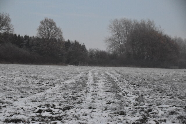
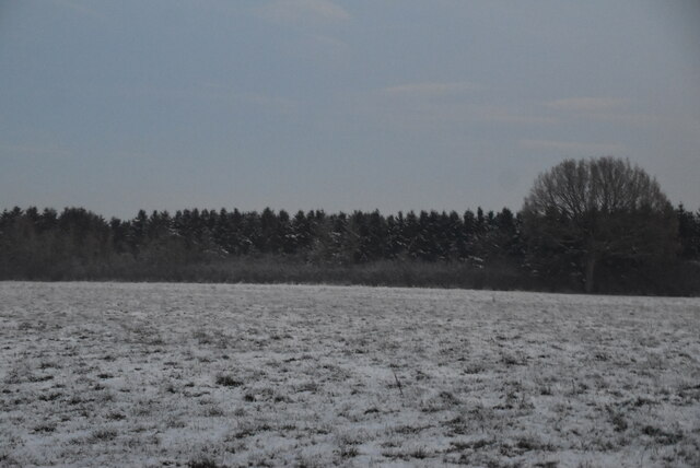
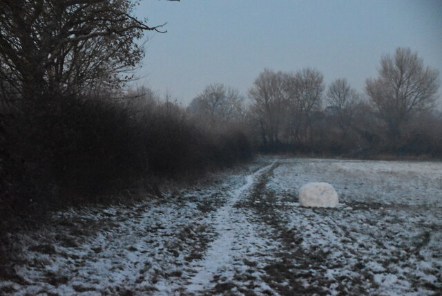
Bisley is a small village located in the county of Wiltshire, England. Situated approximately 4 miles northwest of the town of Stroud, Bisley is nestled in the picturesque Stroud Valleys, surrounded by rolling hills and countryside.
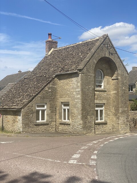
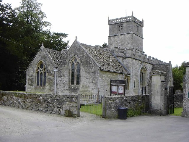
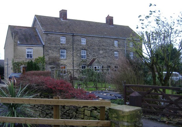
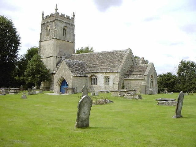
The village is known for its quaint and traditional charm, with a population of around 900 residents. Bisley boasts a rich history, dating back to the medieval period when it was primarily an agricultural settlement. Today, traces of this history can still be seen in the village's architecture, including a 13th-century church and several historic cottages.
The village is well-served by local amenities, including a primary school, village hall, and a handful of local shops and pubs. Bisley also benefits from its close proximity to Stroud, where residents have access to a wider range of services and facilities.
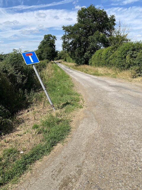
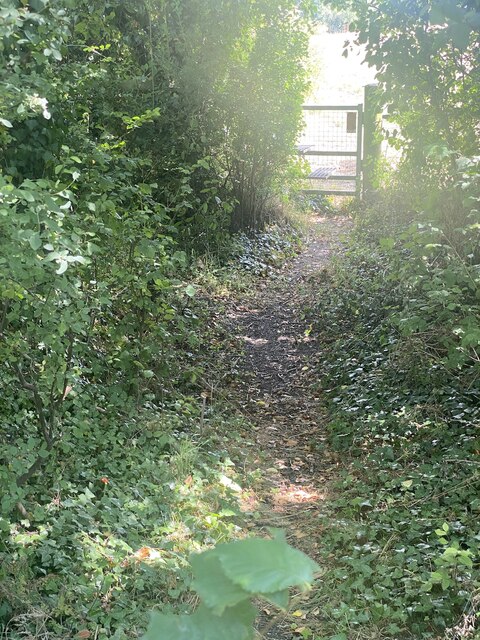
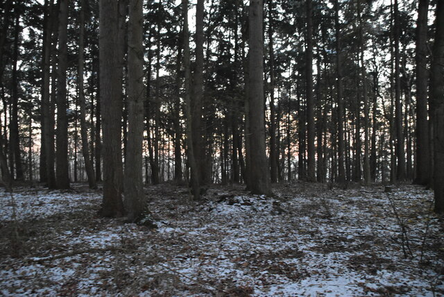
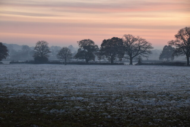
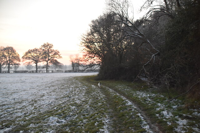
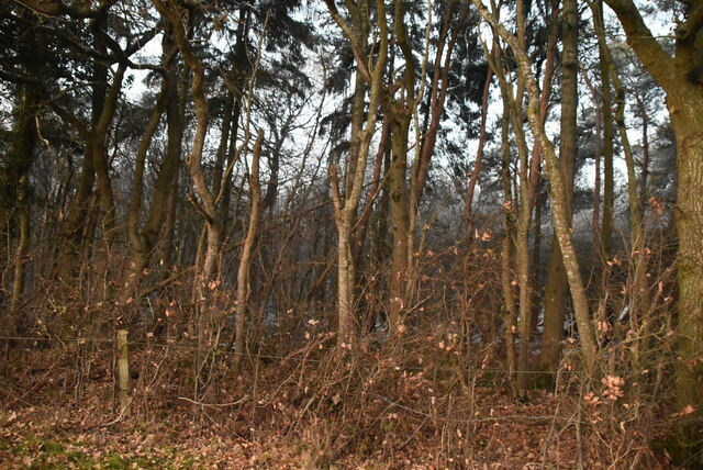
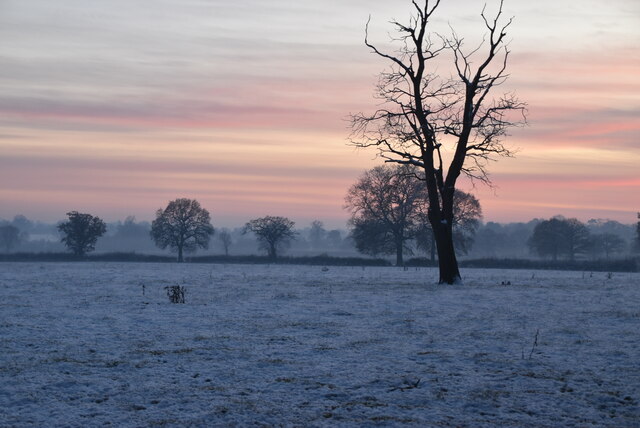
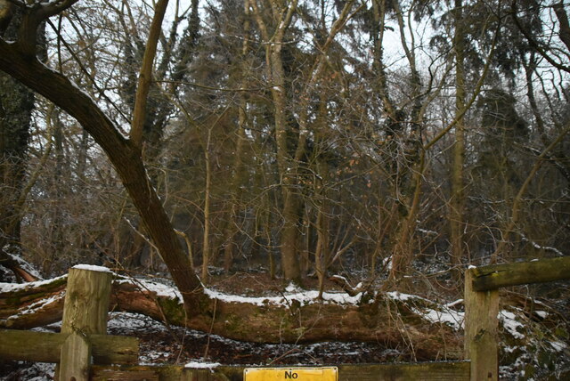
For nature enthusiasts, Bisley is an ideal location, with numerous walking trails and cycling routes in the surrounding countryside. The nearby Cotswold Way offers stunning views of the rolling hills and is a popular destination for hikers. Additionally, the village is surrounded by several woodlands and nature reserves, providing ample opportunities for outdoor recreation.
Overall, Bisley, Wiltshire is a charming village that offers a peaceful and idyllic lifestyle for its residents, with its historic charm and breathtaking surroundings.
If you have any feedback on the listing, please let us know in the comments section below.
Bisley Images
Images are sourced within 2km of 51.597122/-2.057093 or Grid Reference ST9688. Thanks to Geograph Open Source API. All images are credited.


Bisley is located at Grid Ref: ST9688 (Lat: 51.597122, Lng: -2.057093)
Unitary Authority: Wiltshire
Police Authority: Wiltshire
What 3 Words
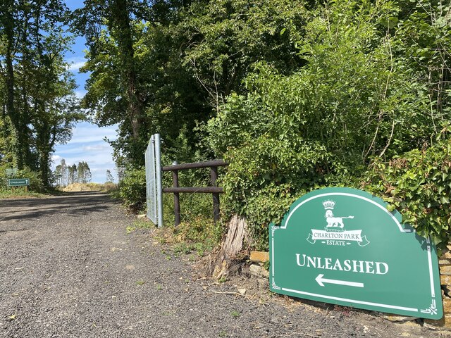
///upwardly.corn.speedily. Near Charlton, Wiltshire
Related Wikis
Charlton, Brinkworth
Charlton is a village and civil parish in North Wiltshire, England, about 2 miles (3 km) northeast of Malmesbury and 4 miles (6.4 km) northwest of the...

Charlton Park, Wiltshire
Charlton Park is a country house and estate in Wiltshire, England, 2 miles (3.2 km) northeast of the town of Malmesbury. Charlton Park House is a Grade...

WOMAD Charlton Park
WOMAD Charlton Park or WOMAD UK is the name given to the World of Music Arts and Dance (WOMAD) festival held in Charlton Park near Malmesbury, Wiltshire...
Milbourne, Wiltshire
Milbourne is a hamlet on the eastern edge of Malmesbury, Wiltshire, England. It is within the civil parish of St Paul Malmesbury Without. The hamlet consists...

Lea, Wiltshire
Lea is a village in Wiltshire, England, lying approximately 1.5 miles (2.4 km) east of Malmesbury. It is part of the civil parish of Lea and Cleverton...
Hankerton
Hankerton is a village and civil parish in Wiltshire, England, 3 miles (4.8 km) northeast of Malmesbury. The parish includes the hamlets of Cloatley, Cloatley...
Cloatley Manor Farm Meadows
Cloatley Manor Farm Meadows (grid reference ST981910) is a 12.1 hectare biological Site of Special Scientific Interest in Wiltshire, notified in 1997....
Woodbridge Brook
The Woodbridge Brook is a tributary of the Bristol Avon. It rises near Lydiard Millicent in Wiltshire in the west of England and flows in a generally...
Nearby Amenities
Located within 500m of 51.597122,-2.057093Have you been to Bisley?
Leave your review of Bisley below (or comments, questions and feedback).