Bishop's Moat

Settlement in Montgomeryshire

Wales

Bishop's Moat

Criggion Bank Reservoir
Criggion Bank Reservoir Credit: Richard Webb

Bishop's Moat, located in Montgomeryshire, Wales, is a historically significant site that holds great cultural and architectural importance. Situated in the small town of Montgomery, Bishop's Moat is a well-preserved motte-and-bailey castle that dates back to the 11th century.

The castle was originally built by the Normans during the reign of William the Conqueror and served as a strategic stronghold on the Welsh border. It consists of a large, circular earthwork mound, known as a motte, with a bailey or enclosure at its base. The motte was constructed using layers of soil and stone, and on its summit once stood a wooden tower, providing a vantage point for the castle's occupants.

Over the centuries, Bishop's Moat has undergone several modifications and changes in ownership. It was initially constructed by the de Boulers family, who later sold it to the Bishop of St. Asaph, hence the name "Bishop's Moat." The castle played a significant role in the conflicts between the English and the Welsh during the medieval period.

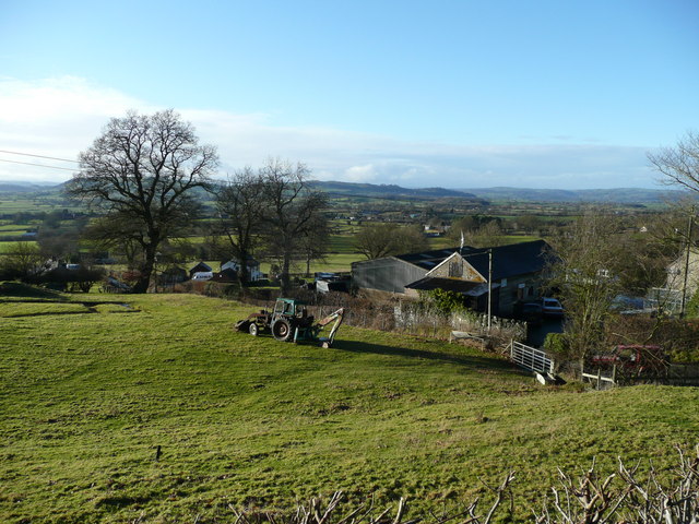
Today, Bishop's Moat is a popular tourist attraction, attracting history enthusiasts and visitors interested in exploring its rich past. The site offers stunning views of the surrounding countryside and provides a glimpse into the region's medieval history. Although the original wooden tower no longer stands, the earthworks and remnants of the bailey walls remain intact, showcasing the castle's architectural prowess.

Bishop's Moat serves as a reminder of the region's turbulent past and stands as a testament to the architectural ingenuity of the medieval period.

If you have any feedback on the listing, please let us know in the comments section below.

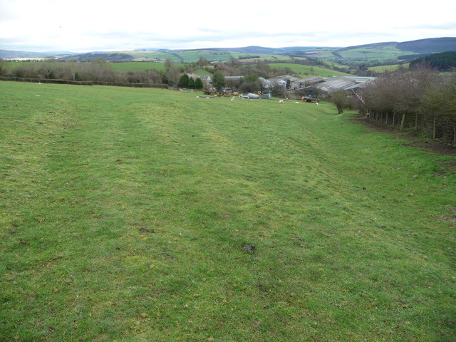
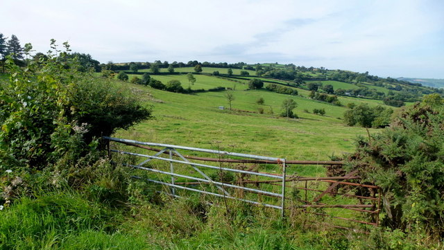
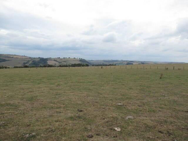
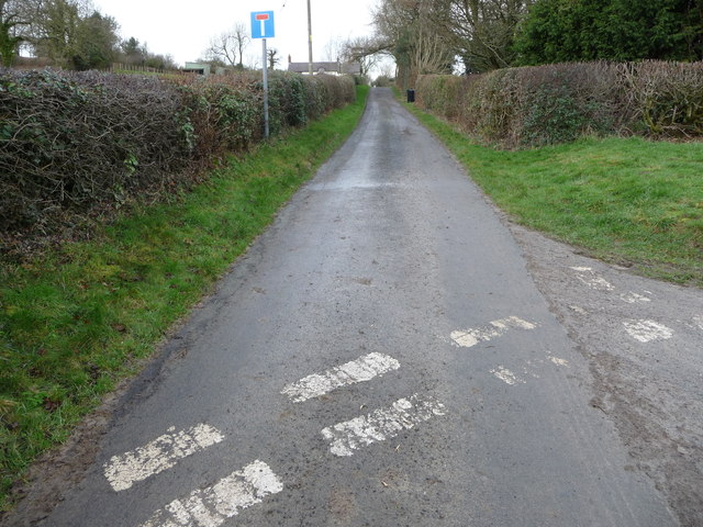
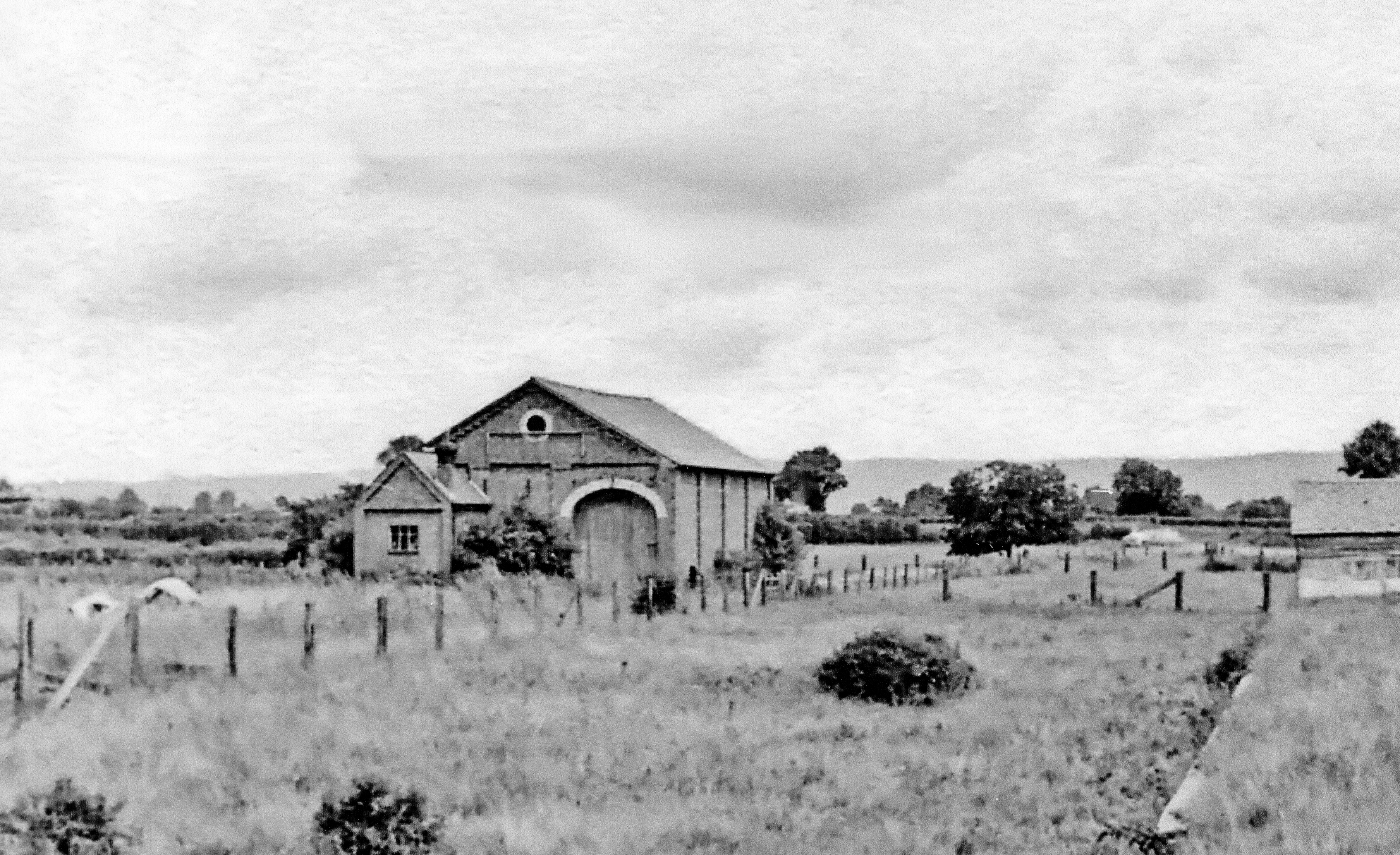
Bishop's Moat Images

Images are sourced within 2km of 52.4993/-3.0475341 or Grid Reference SO2889. Thanks to Geograph Open Source API. All images are credited.

Criggion Bank Reservoir
Air quality monitoring station, Aston Hill Used to seeing these in an urban setting. Suppose a Welsh hilltop is a good control.
Air quality monitoring station, Aston Hill
Used to seeing these in an urban setting. Suppose a Welsh hilltop is a good control.
View towards Bishop's Moat Farm A high farm near Bishop's Castle. Ravens flew overhead. A Buzzard called towards Wales. Some first drops of drizzle moistened my cheek.
View towards Bishop's Moat Farm
A high farm near Bishop's Castle. Ravens flew overhead. A Buzzard called towards Wales. Some first drops of drizzle moistened my cheek.
Bishop's Moat motte and bailey A Norman motte and bailey castle that was more important than the castle down at Bishop's Castle. This motte was vital in spying out the land towards Wales, the Camlad Valley, and with distant views to Montgomery Castle it was key part of the Norman network in this area. Now it is very peaceful up here.
Bishop's Moat motte and bailey
A Norman motte and bailey castle that was more important than the castle down at Bishop's Castle. This motte was vital in spying out the land towards Wales, the Camlad Valley, and with distant views to Montgomery Castle it was key part of the Norman network in this area. Now it is very peaceful up here.
Field above Upper Woodbatch farm near Bishop's Castle An old field access track remnant remains at the field edge. Sheep winter on pasture near the farm.
Field above Upper Woodbatch farm near Bishop's Castle
An old field access track remnant remains at the field edge. Sheep winter on pasture near the farm.
Reilth Top A wooded corner of a field.
Reilth Top
A wooded corner of a field.
On Reilith Top A thistly field.
On Reilith Top
A thistly field.
Field, Headfield A couple of weeks earlier a silage crop was taken off this field.
Field, Headfield
A couple of weeks earlier a silage crop was taken off this field.
Bryn Dadlu A previously mown grass field above Bishop's Castle.
Bryn Dadlu
A previously mown grass field above Bishop's Castle.
High level barley A view from Moat Hill towards Bryn Hill.
High level barley
A view from Moat Hill towards Bryn Hill.
The Shropshire Way at Reilthtop Looking west along the farm track and LDF.
The Shropshire Way at Reilthtop
Looking west along the farm track and LDF.
Marches country The Kerry Ridgeway utilises the long undulating ridge (seen here) that stretches from Bishop's Castle via Shadwell Hill to Kerry Hill in Wales.
Marches country
The Kerry Ridgeway utilises the long undulating ridge (seen here) that stretches from Bishop's Castle via Shadwell Hill to Kerry Hill in Wales.
Barn at Vron Farm Reilth Top.
Barn at Vron Farm
Reilth Top.
Grassland at Reilth Top A fine lot of hawthorn berries are developing on the hedgerows.
Grassland at Reilth Top
A fine lot of hawthorn berries are developing on the hedgerows.
Middle Woodbatch Farm and Henley Wood
Ordnance Survey Rivet This OS rivet can be found on the NW parapet of the bridge. It marks a point 278.650m above mean sea level.
Ordnance Survey Rivet
This OS rivet can be found on the NW parapet of the bridge. It marks a point 278.650m above mean sea level.
Pasture, Aston Hill Very dry after a hot Summer and low rainfall.
Pasture, Aston Hill
Very dry after a hot Summer and low rainfall.
Kerry Ridgeway
Kerry Ridgeway
Show me another place!

Bishop's Moat is located at Grid Ref: SO2889 (Lat: 52.4993, Lng: -3.0475341)

Unitary Authority: Powys

Police Authority: Dyfed Powys

What 3 Words

///interviewer.eyelashes.erase. Near Mainstone, Shropshire

Related Wikis

Bankshead

Bankshead is a hamlet in Shropshire, England, near Bishop's Castle and the England-Wales border. == External links == Media related to Bankshead at Wikimedia...

Mainstone

Mainstone is a small village and civil parish in southwest Shropshire, England, near the border with Powys, Wales. The village lies approximately 1 mile...

Cabin, Shropshire

Cabin is a village in Shropshire, England.

Bishop's Castle Town Hall

Bishop's Castle Town Hall is a municipal building in the High Street in Bishop's Castle, Shropshire, England. The building, which is the meeting place...

Bishop's Castle

Bishop's Castle is a market town in the south west of Shropshire, England. According to the 2011 Census it had a population of 1,893. Bishop's Castle is...

Cefn Einion

Cefn Einion is a dispersed hamlet in southwest Shropshire, England. It is located two miles southwest of the village of Colebatch, and lies between the...

Old Church Stoke

Old Church Stoke is a village in the community of Churchstoke in Powys, Wales. Until 1974 it was in the county of Montgomeryshire. The name, as a distinct...

Bishop's Castle railway station

Bishop's Castle railway station was a station in Bishop's Castle, Shropshire, England. The station was opened on 1 February 1866 and closed on 20 April...

Nearby Amenities

Located within 500m of 52.4993,-3.0475341
Place: farm
Lat/Long: 52.5000317/-3.0448478
Direction: 185
Generator Method: photovoltaic
Generator Output Electricity: yes
Generator Solar Modules: 10
Generator Source: solar
Generator Type: solar_photovoltaic_panel
Location: roof
Power: generator
Lat/Long: 52.4999438/-3.0450046
Direction: 185
Generator Method: photovoltaic
Generator Output Electricity: yes
Generator Solar Modules: 10
Generator Source: solar
Generator Type: solar_photovoltaic_panel
Location: roof
Power: generator
Lat/Long: 52.4999723/-3.0449979
Historic: archaeological_site
Lat/Long: 52.4998836/-3.0464703
The data included in this document is from www.openstreetmap.org. The data is made available under ODbL.

Have you been to Bishop's Moat?

Leave your review of Bishop's Moat below (or comments, questions and feedback).