Bishop's Green

Settlement in Essex Uttlesford

England

Bishop's Green

Lane to Roffey Taken from its junction with Watery Lane.
Lane to Roffey Credit: Trevor Harris

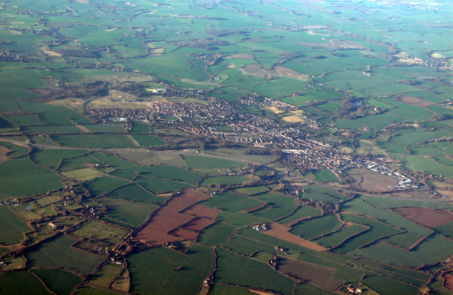
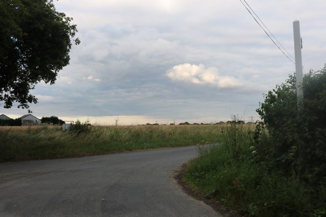
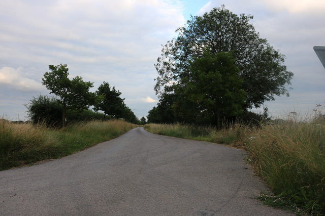
Bishop's Green is a small village located in the county of Essex, England. Situated approximately 30 miles northeast of London, it is nestled in a picturesque rural setting, surrounded by rolling hills and green fields. The village is part of the district of Uttlesford and falls within the parliamentary constituency of Saffron Walden.

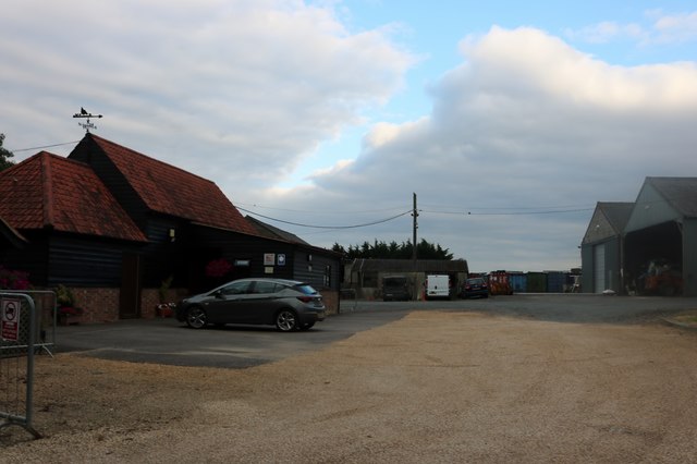
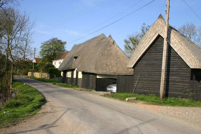
The community of Bishop's Green is characterized by its tranquil atmosphere and close-knit residents. The village consists primarily of charming cottages and traditional properties, giving it a quintessential English countryside feel. The area is known for its well-preserved historic architecture, with several buildings dating back to the 17th and 18th centuries, adding to the village's charm.

Despite its small size, Bishop's Green offers a range of amenities for its residents. These include a local pub, a village hall, and a small convenience store for basic necessities. The village also benefits from excellent transport links, with nearby access to major road networks, making it easily accessible for both residents and visitors.

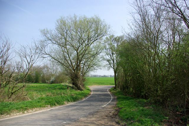
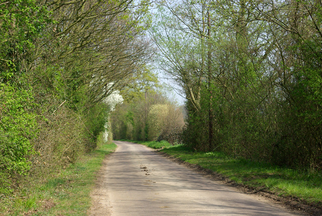
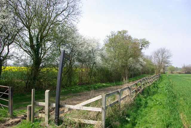
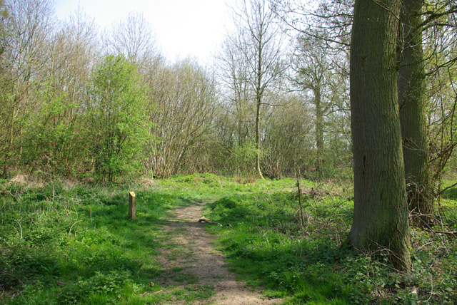
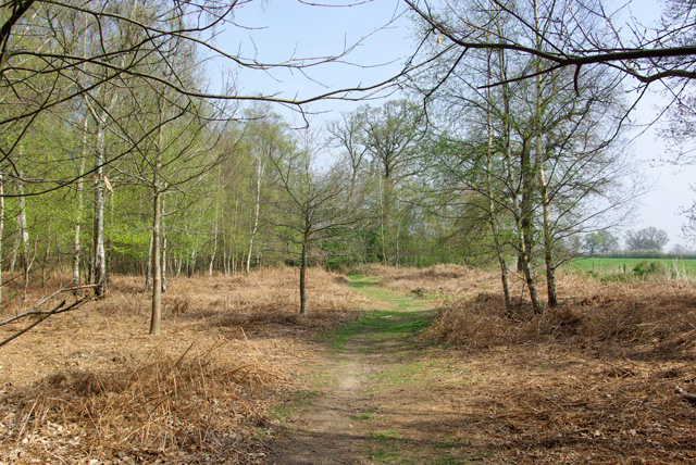
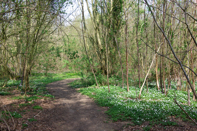
The surrounding countryside provides ample opportunities for outdoor activities such as hiking, cycling, and horse riding. The village is also within close proximity to several nature reserves and country parks, offering residents a chance to explore the natural beauty of the area.

Overall, Bishop's Green offers a peaceful and idyllic rural lifestyle, making it an attractive place to reside for those seeking a tranquil escape from the bustle of city life.

If you have any feedback on the listing, please let us know in the comments section below.

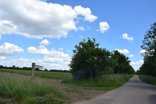
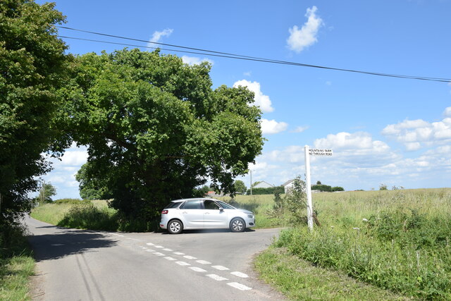
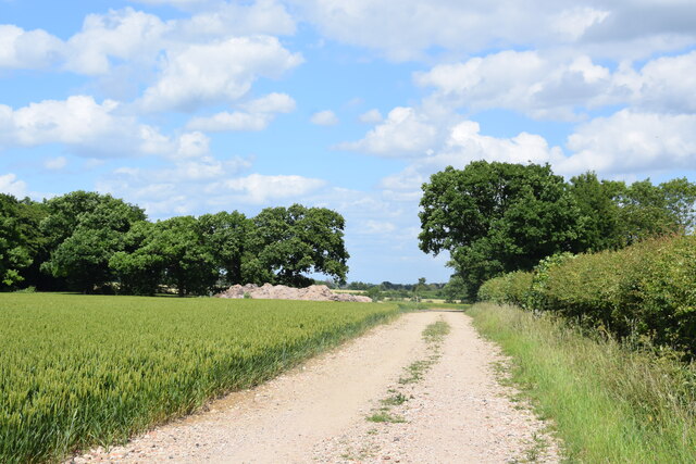
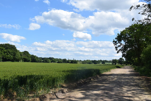
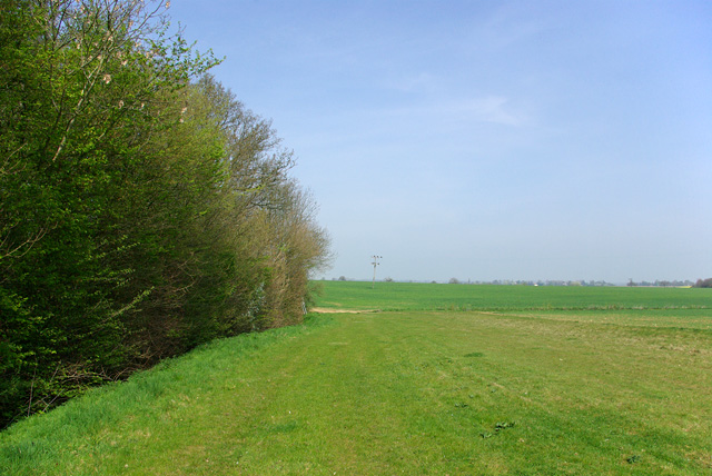
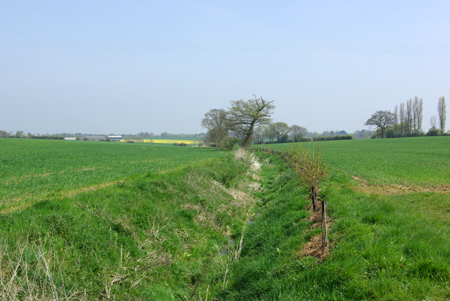
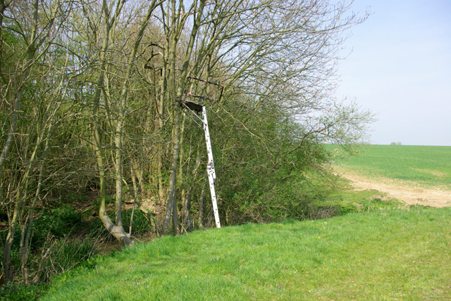
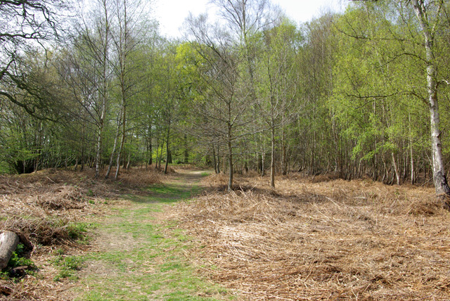
Bishop's Green Images

Images are sourced within 2km of 51.838106/0.36636125 or Grid Reference TL6318. Thanks to Geograph Open Source API. All images are credited.

Lane to Roffey Taken from its junction with Watery Lane.
Lane to Roffey
Taken from its junction with Watery Lane.
Lane junction near Puttock I am standing in Philpot End Lane which continues ahead; to the right is Mountains Farm Road.
Lane junction near Puttock
I am standing in Philpot End Lane which continues ahead; to the right is Mountains Farm Road.
Bridleway at Roffey Looking north east to where it makes a sharp turn to the south east.
Bridleway at Roffey
Looking north east to where it makes a sharp turn to the south east.
North of Roffey The bridleway, fields and, to the left, the edge of Roffey Wood.
North of Roffey
The bridleway, fields and, to the left, the edge of Roffey Wood.
Rands Road The road crosses a small stream here, the parish boundary between High Roding and High Easter.
Rands Road
The road crosses a small stream here, the parish boundary between High Roding and High Easter.
Lane from High Roding to Barnston Between Proverbs Green and Bishop's Green.
Lane from High Roding to Barnston
Between Proverbs Green and Bishop's Green.
Bridleway to Roffey The start of the bridleway near Bishop's Green.
Bridleway to Roffey
The start of the bridleway near Bishop's Green.
Path, Barnston Lays Garnetts Wood, which includes the eastern woodland called Barnston Lays, is owned by Essex CC and has public access with marked paths.
Path, Barnston Lays
Garnetts Wood, which includes the eastern woodland called Barnston Lays, is owned by Essex CC and has public access with marked paths.
Eastern edge of Barnston Lays Garnetts Wood, which includes the eastern woodland called Barnston Lays, is owned by Essex CC and has public access with marked paths. This field margin is not one of them.
Eastern edge of Barnston Lays
Garnetts Wood, which includes the eastern woodland called Barnston Lays, is owned by Essex CC and has public access with marked paths. This field margin is not one of them.
Ditch east of Barnston Lays This drains into Barnston Brook, a tributary of the River Chelmer.
Ditch east of Barnston Lays
This drains into Barnston Brook, a tributary of the River Chelmer.
Shooting platform, Barnston Lays There were certainly a lot of Fallow Deer crashing around in the wood.
Shooting platform, Barnston Lays
There were certainly a lot of Fallow Deer crashing around in the wood.
Path, Barnston Lays In the southern part of the wood, which has a more acidic flora than the rest, although the geological map shows no distinction, with chalky boulder clay supposedly overlying older deposits.
Path, Barnston Lays
In the southern part of the wood, which has a more acidic flora than the rest, although the geological map shows no distinction, with chalky boulder clay supposedly overlying older deposits.
Path in Garnetts Wood In the southern part of the wood, which has a more acidic flora than the rest.
Path in Garnetts Wood
In the southern part of the wood, which has a more acidic flora than the rest.
Dunmow and Great Dunmow from the air Seen across the A120 dual carriageway.
Dunmow and Great Dunmow from the air
Seen across the A120 dual carriageway.
Puttocks Farm, Philpot End
Mountain's Farm Road, Philpot End
Track to Roffey Farm, Philpot End
Show me another place!

Bishop's Green is located at Grid Ref: TL6318 (Lat: 51.838106, Lng: 0.36636125)

Administrative County: Essex

District: Uttlesford

Police Authority: Essex

What 3 Words

///aimed.headset.clown. Near Great Dunmow, Essex

Related Wikis

Nearby Amenities

Located within 500m of 51.838106,0.36636125
Bishops Green
Place: hamlet
Wikidata: Q4917414
Lat/Long: 51.837284/0.3655843
Bbq
Lat/Long: 51.8406484/0.3713356
Bbq
Lat/Long: 51.8406997/0.3712604
Give Way
Direction: backward
Lat/Long: 51.8382272/0.3663277
Give Way
Direction: forward
Lat/Long: 51.838065/0.366432
The data included in this document is from www.openstreetmap.org. The data is made available under ODbL.

Have you been to Bishop's Green?

Leave your review of Bishop's Green below (or comments, questions and feedback).