Garnetts Wood

Wood, Forest in Essex Uttlesford

England

Garnetts Wood

Lane to Roffey Taken from its junction with Watery Lane.
Lane to Roffey Credit: Trevor Harris

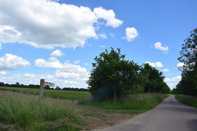
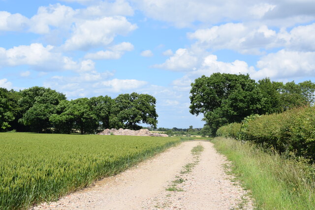
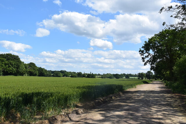
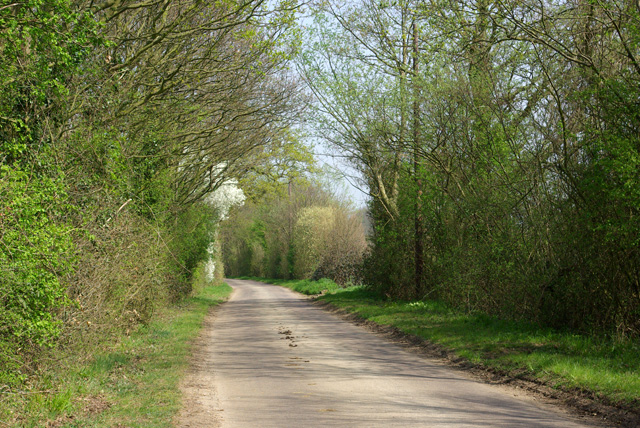
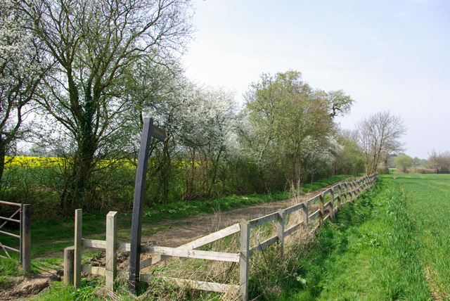
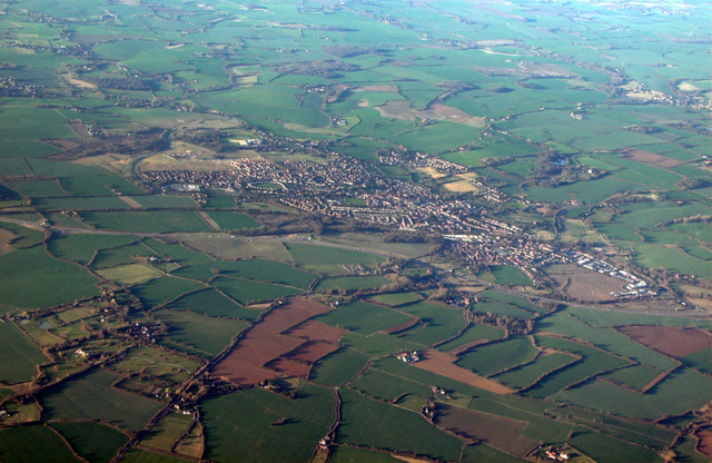
Garnetts Wood is a picturesque woodland located in Essex, England. Situated in the heart of the county, this forested area covers approximately 100 acres of land and is known for its diverse range of flora and fauna. The wood is named after the Garnett family, who were the original owners of the land.

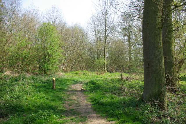
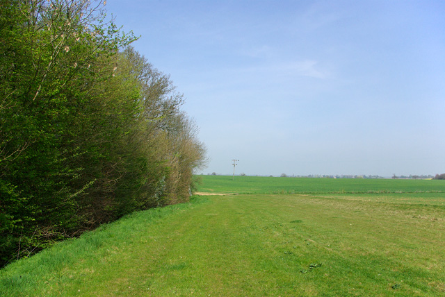
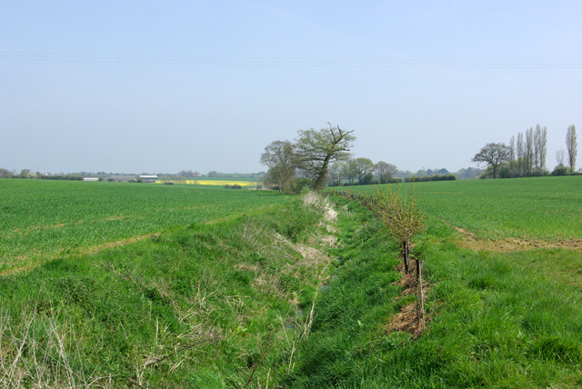
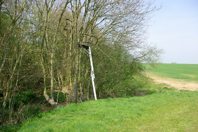
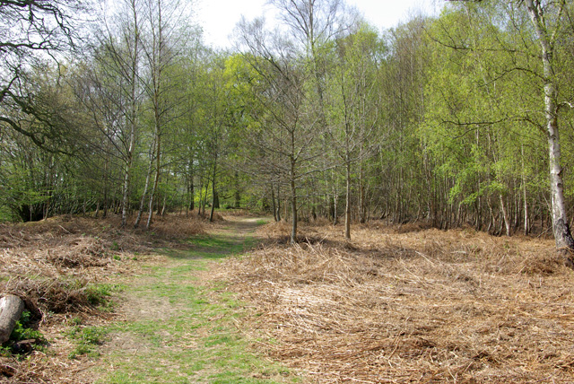
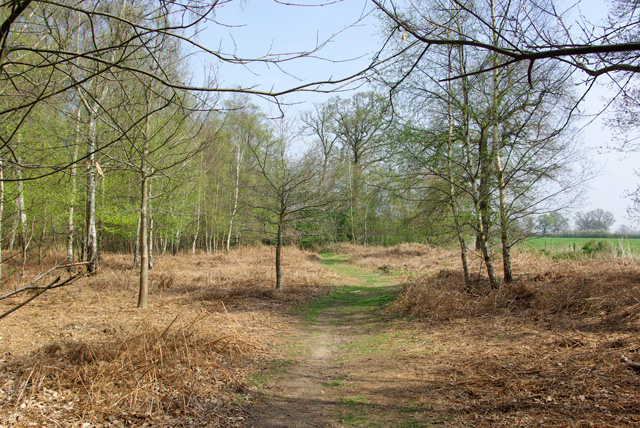
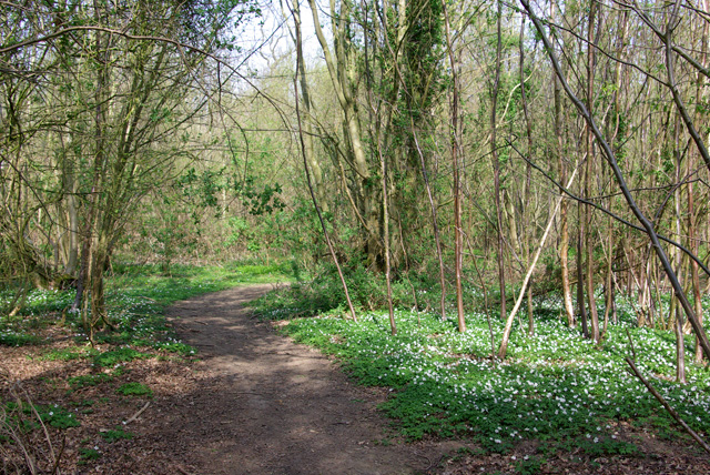
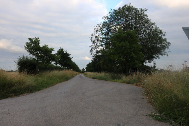
The woodland is characterized by its dense canopy of trees, including oak, beech, and birch, which create a serene and peaceful atmosphere. The forest floor is covered with a variety of wildflowers and ferns, adding to its natural beauty. Visitors can explore the wood through a network of well-maintained footpaths and trails, which provide easy access to different areas of the forest.

Garnetts Wood is home to a rich and diverse wildlife population. Birdwatchers will be delighted by the presence of various species, including woodpeckers, nightingales, and owls. Small mammals such as squirrels and rabbits can also be spotted, along with a variety of insects and butterflies.

The wood offers a tranquil escape for nature lovers and outdoor enthusiasts. It is a popular destination for walking, jogging, and cycling, with designated routes catering to all levels of ability. The wood is also a great spot for picnics and family gatherings, with several picnic areas and benches scattered throughout the forest.

Overall, Garnetts Wood is a beautiful natural area that offers a range of outdoor activities and opportunities to connect with nature. It is a hidden gem in Essex and a must-visit destination for anyone seeking a peaceful retreat in the heart of the countryside.

If you have any feedback on the listing, please let us know in the comments section below.

Garnetts Wood Images

Images are sourced within 2km of 51.838756/0.3715924 or Grid Reference TL6318. Thanks to Geograph Open Source API. All images are credited.

Lane to Roffey Taken from its junction with Watery Lane.
Lane to Roffey
Taken from its junction with Watery Lane.
Bridleway at Roffey Looking north east to where it makes a sharp turn to the south east.
Bridleway at Roffey
Looking north east to where it makes a sharp turn to the south east.
North of Roffey The bridleway, fields and, to the left, the edge of Roffey Wood.
North of Roffey
The bridleway, fields and, to the left, the edge of Roffey Wood.
Lane from High Roding to Barnston Between Proverbs Green and Bishop's Green.
Lane from High Roding to Barnston
Between Proverbs Green and Bishop's Green.
Bridleway to Roffey The start of the bridleway near Bishop's Green.
Bridleway to Roffey
The start of the bridleway near Bishop's Green.
Path, Barnston Lays Garnetts Wood, which includes the eastern woodland called Barnston Lays, is owned by Essex CC and has public access with marked paths.
Path, Barnston Lays
Garnetts Wood, which includes the eastern woodland called Barnston Lays, is owned by Essex CC and has public access with marked paths.
Eastern edge of Barnston Lays Garnetts Wood, which includes the eastern woodland called Barnston Lays, is owned by Essex CC and has public access with marked paths. This field margin is not one of them.
Eastern edge of Barnston Lays
Garnetts Wood, which includes the eastern woodland called Barnston Lays, is owned by Essex CC and has public access with marked paths. This field margin is not one of them.
Ditch east of Barnston Lays This drains into Barnston Brook, a tributary of the River Chelmer.
Ditch east of Barnston Lays
This drains into Barnston Brook, a tributary of the River Chelmer.
Shooting platform, Barnston Lays There were certainly a lot of Fallow Deer crashing around in the wood.
Shooting platform, Barnston Lays
There were certainly a lot of Fallow Deer crashing around in the wood.
Path, Barnston Lays In the southern part of the wood, which has a more acidic flora than the rest, although the geological map shows no distinction, with chalky boulder clay supposedly overlying older deposits.
Path, Barnston Lays
In the southern part of the wood, which has a more acidic flora than the rest, although the geological map shows no distinction, with chalky boulder clay supposedly overlying older deposits.
Path in Garnetts Wood In the southern part of the wood, which has a more acidic flora than the rest.
Path in Garnetts Wood
In the southern part of the wood, which has a more acidic flora than the rest.
Dunmow and Great Dunmow from the air Seen across the A120 dual carriageway.
Dunmow and Great Dunmow from the air
Seen across the A120 dual carriageway.
Track to Roffey Farm, Philpot End
Agricultural heap Something unknown under a blue cover.
Agricultural heap
Something unknown under a blue cover.
High Easter Road, Barnston A country road with quite a lot of modern residential development feeding into it from the left.
High Easter Road, Barnston
A country road with quite a lot of modern residential development feeding into it from the left.
Medhurst A house of no great age, appearing on maps about 1950.
Medhurst
A house of no great age, appearing on maps about 1950.
A straw stack This rather high structure is composed of cylindrical straw bales stacked on end.
A straw stack
This rather high structure is composed of cylindrical straw bales stacked on end.
Show me another place!

Garnetts Wood is located at Grid Ref: TL6318 (Lat: 51.838756, Lng: 0.3715924)

Administrative County: Essex

District: Uttlesford

Police Authority: Essex

What 3 Words

///instant.hexes.instead. Near Little Dunmow, Essex

Related Wikis

Garnetts Wood and Barnston Lays

Garnetts Wood and Barnston Lays is a 25 hectare biological Site of Special Scientific Interest two miles south of Great Dunmow in Essex. It is owned and...

Bishop's Green, Essex

Bishop's Green is a hamlet in the civil parish of High Easter in the Uttlesford district of Essex, England. The hamlet is on the road between the villages...

Wellstye Green

Wellstye Green or Wells Tye Green is a hamlet located between the villages of High Easter and Barnston, in the Uttlesford district of Essex. It is the...

Barnston, Essex

Barnston is a village and civil parish in Essex, England. The village is on the B1008 road, about 1+3⁄4 miles (2.8 km) south-east of Great Dunmow and...

Hounslow Green

Hounslow Green or Onslow Green is a hamlet on the B1008 road (historically the A130 road), located in between the villages of Barnston and Ford End, in...

North End, Essex

North End is a hamlet at the northern end of the parish of Great Waltham in the Chelmsford district of Essex, England. Black Chapel Cottage, a former priest...

Dunmow railway station

Dunmow railway station was a station serving Great Dunmow, Essex. The station was 9 miles 38 chains (15.25 km) from Bishop's Stortford on the Bishop's...

Stagden Cross

Stagden Cross is a hamlet in the civil parish of High Easter, and the Uttlesford district of Essex, England. The hamlet is 1 mile (1.6 km) east from High...

Nearby Amenities

Located within 500m of 51.838756,0.3715924
Bishops Green
Place: hamlet
Wikidata: Q4917414
Lat/Long: 51.837284/0.3655843
Sallets Green
Place: hamlet
Lat/Long: 51.8431255/0.3712143
Bbq
Lat/Long: 51.8406484/0.3713356
Bbq
Lat/Long: 51.8406997/0.3712604
Give Way
Direction: backward
Lat/Long: 51.8382272/0.3663277
Give Way
Direction: forward
Lat/Long: 51.838065/0.366432
Give Way
Direction: backward
Lat/Long: 51.8422093/0.3734941
The data included in this document is from www.openstreetmap.org. The data is made available under ODbL.

Have you been to Garnetts Wood?

Leave your review of Garnetts Wood below (or comments, questions and feedback).