Beeden Park
Settlement in Lincolnshire South Kesteven
England
Beeden Park
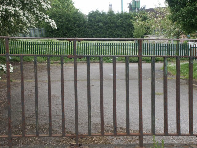
Beeden Park is a charming public park located in Lincolnshire, England. Covering an area of approximately 10 acres, it provides a serene and picturesque environment for visitors of all ages to enjoy. The park is situated in a peaceful residential area, making it an ideal spot for relaxation and recreation.
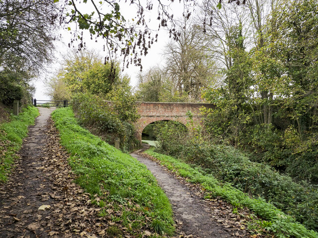
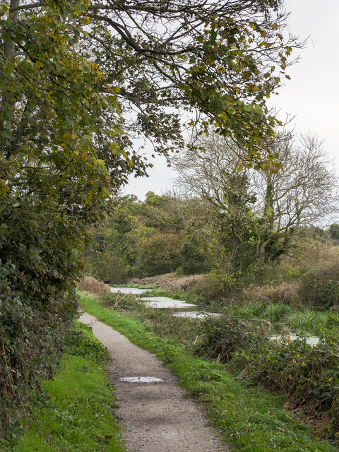
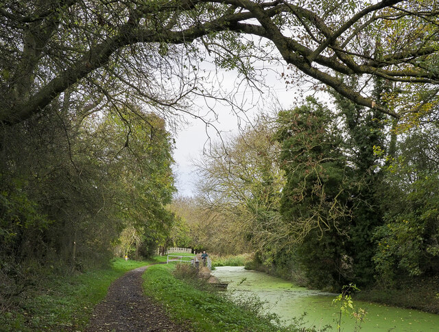
Upon entering Beeden Park, visitors are greeted by well-maintained pathways that wind through lush green lawns and vibrant flower beds. Tall trees offer shade and create a tranquil ambiance throughout the park. The park is well-equipped with benches and picnic areas, inviting visitors to sit and appreciate the beautiful surroundings.
Beeden Park offers a range of recreational activities for both children and adults. There is a well-equipped children's play area with swings, slides, and climbing frames, providing a safe and enjoyable space for kids to expend their energy. For sports enthusiasts, the park features a basketball court and a football field, perfect for a friendly game with friends or family.
Nature lovers will appreciate the park's diverse wildlife and birdlife. The park is home to a variety of bird species, making it a popular spot for birdwatching. Additionally, there is a small pond where visitors can observe ducks and other waterfowl.
Overall, Beeden Park in Lincolnshire is a delightful destination for those seeking a peaceful and scenic escape. Its well-maintained grounds, recreational facilities, and beautiful natural surroundings make it a beloved spot for locals and tourists alike.
If you have any feedback on the listing, please let us know in the comments section below.
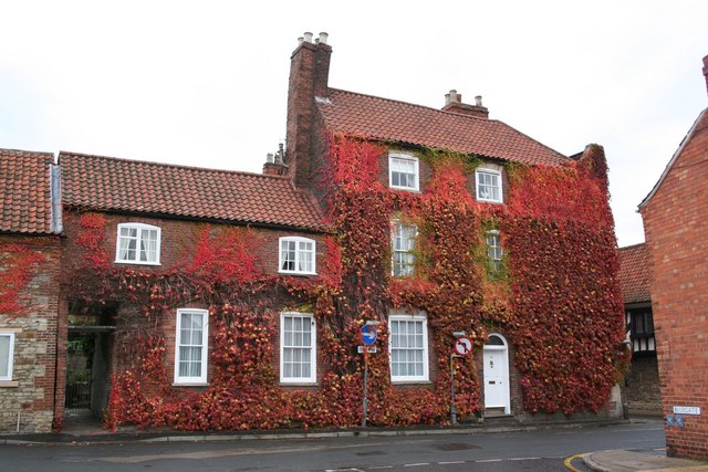
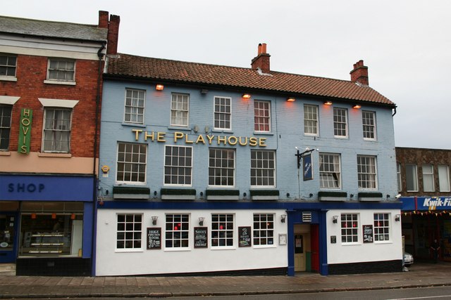
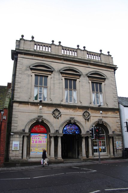
Beeden Park Images
Images are sourced within 2km of 52.909741/-0.67333817 or Grid Reference SK8935. Thanks to Geograph Open Source API. All images are credited.
Beeden Park is located at Grid Ref: SK8935 (Lat: 52.909741, Lng: -0.67333817)
Division: Parts of Kesteven
Administrative County: Lincolnshire
District: South Kesteven
Police Authority: Lincolnshire
What 3 Words
///bathtubs.fizzle.bumps. Near Barrowby, Lincolnshire
Nearby Locations
Related Wikis

Grantham Town F.C.
Grantham Town Football Club is a football club based in Grantham, Lincolnshire, England. They are currently members of the Northern Premier League Division...
West Grantham Church of England Secondary Academy
West Grantham Church of England Secondary Academy is a Church of England mixed secondary school in Grantham, Lincolnshire, England. == History == Built...

Grantham Ambergate Yard railway station
Grantham Ambergate Yard railway station was first opened by the Ambergate, Nottingham, Boston and Eastern Junction Railway in 1850 between Grantham and...
Barrowby
Barrowby is a village and civil parish in the South Kesteven district of Lincolnshire, England. It is 2 miles (3.2 km) west of Grantham. It overlooks the...

All Saints Church, Barrowby
All Saints Church is a Grade I listed Anglican church in Barrowby, Lincolnshire, England. The church is 2 miles (3.2 km) west from Grantham on a hillside...
Walton Academy, Grantham
Walton Academy, formerly Walton Girls' High School is a co-ed secondary school, in Grantham, Lincolnshire, England. It is situated in the south-west of...
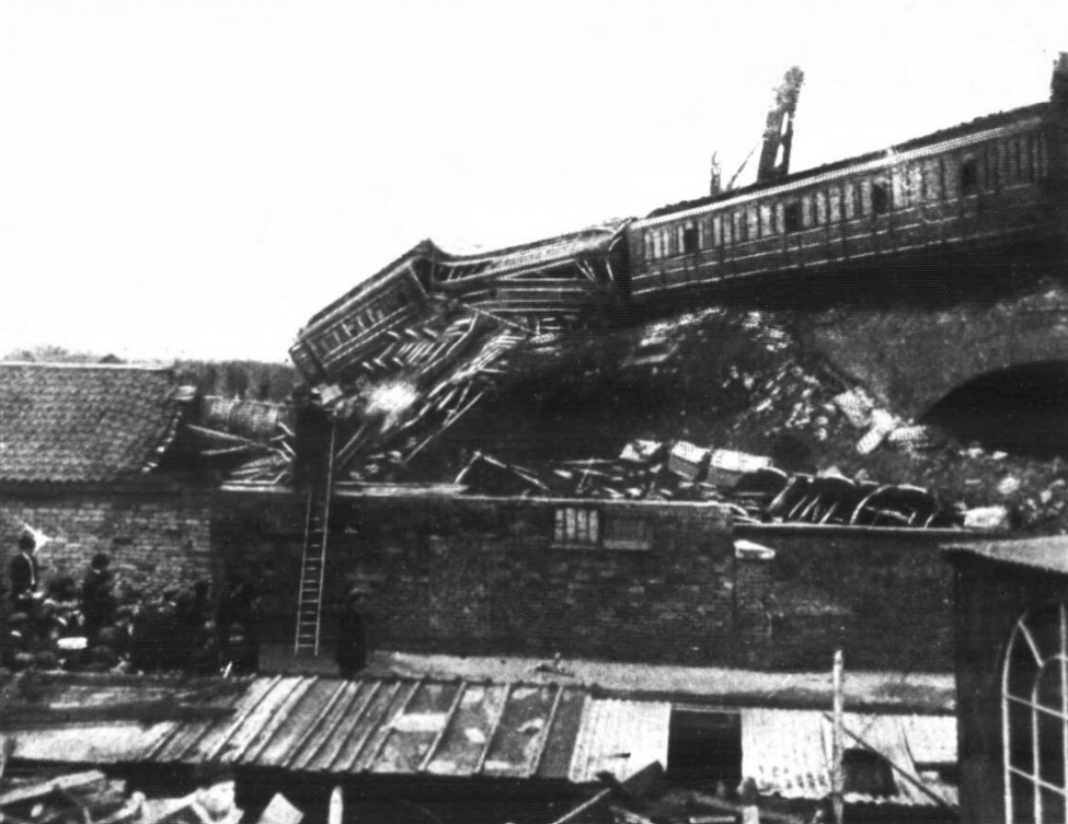
Grantham rail accident
The Grantham rail accident occurred on 19 September 1906. An evening Sleeping-Car and Mail train of the Great Northern Railway, running from London Kings...
Huntingtower Academy
Huntingtower Community Primary Academy (formerly Huntingtower Road Primary School) is a non-denominational, mixed primary academy in Grantham, South Kesteven...
Related Videos

Walking Through History in Grantham, Lincolnshire - England
Lincolnshire Playlist: https://www.youtube.com/playlist?list=PL3rSdzPpvGrsVrt8zHyi7ZO9LMLqk7e3P Map Location: ...

GRANTHAM | A walking tour of the beautiful market town of Grantham, Lincolnshire!
GRANTHAM | A walk through the beautiful market town of Grantham, Lincolnshire The new Margaret Thatcher statue and ...
Walking Grantham - Sydney Street, Gladstone terrace, new street , manners Street, Chambers Street.
[4k 60fps] Walking Grantham - Sydney Street, Gladstone terrace, new street , manners Street, Chambers Street.

Grantham Lincolnshire 2023
Video recorded in Grantham Lincolnshire on New Years Day 2023. We took a walk around Grantham and enjoyed looking at the ...
Nearby Amenities
Located within 500m of 52.909741,-0.67333817Have you been to Beeden Park?
Leave your review of Beeden Park below (or comments, questions and feedback).