Beechdown

Settlement in Devon

England

Beechdown

Snowdonia Close Local Green Space From the eastern end near Snowdonia Close itself.
Snowdonia Close Local Green Space Credit: Derek Harper

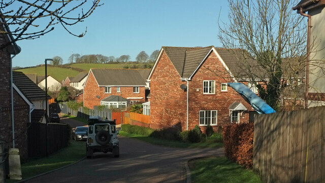
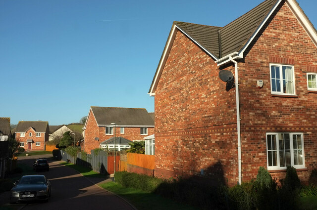
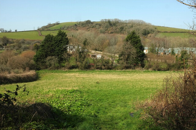
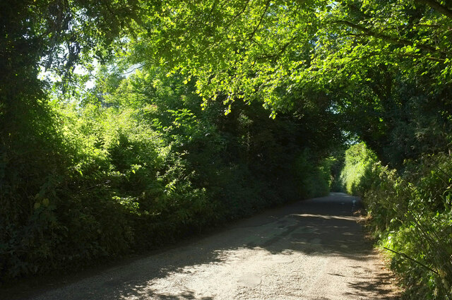
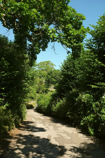
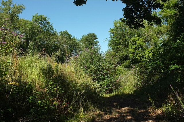
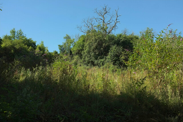
Beechdown is a small village located in the county of Devon, England. Situated in the heart of the picturesque Devonshire countryside, Beechdown offers a tranquil and idyllic setting for its residents and visitors alike. The village is surrounded by rolling hills, lush green fields, and dense woodlands, creating a stunning natural landscape.

Despite its small size, Beechdown boasts a strong sense of community and a rich history. The village is home to a tight-knit population, known for their friendly and welcoming nature. The local church, St. Mary's, stands as a symbol of the village's heritage and provides a place for worship and community gatherings.

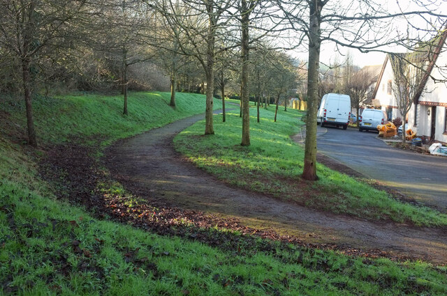
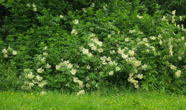
Beechdown is renowned for its stunning natural beauty, making it a popular destination for outdoor enthusiasts. The village is situated near several walking and hiking trails, offering breathtaking views of the surrounding countryside. It is also a great spot for birdwatching, with a diverse range of bird species found in the area.

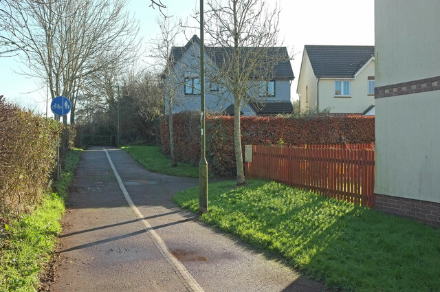
In terms of amenities, Beechdown has a small but well-stocked village shop, providing essential supplies for its residents. For more extensive shopping and entertainment options, the nearby town of Exeter is easily accessible.

Overall, Beechdown is a charming village that combines natural beauty, a strong sense of community, and a rich history. Whether for a peaceful countryside retreat or an active outdoor adventure, Beechdown offers something for everyone.

If you have any feedback on the listing, please let us know in the comments section below.
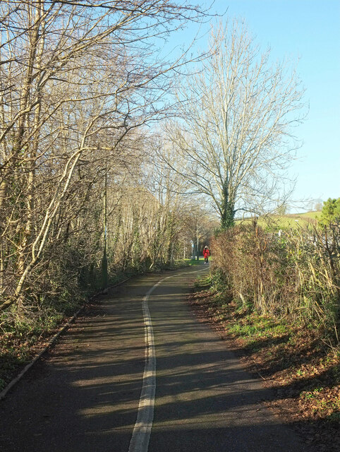
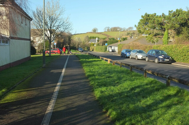
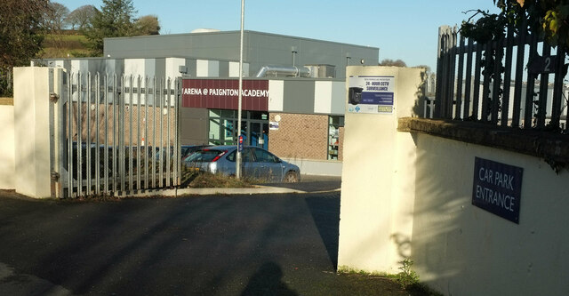
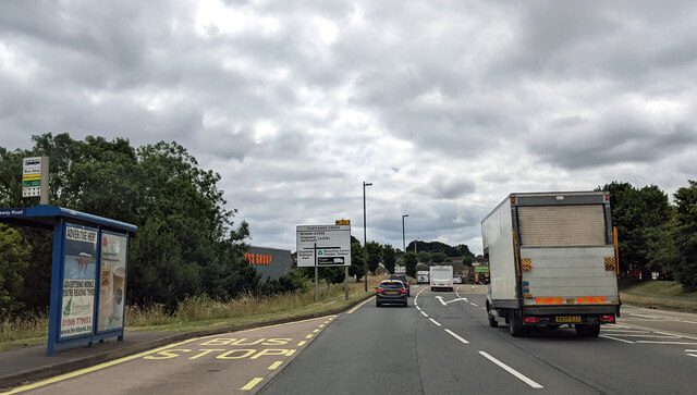
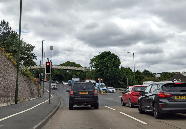
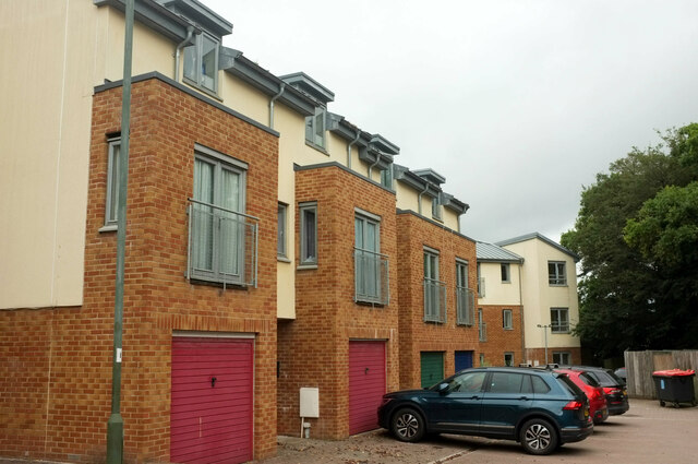
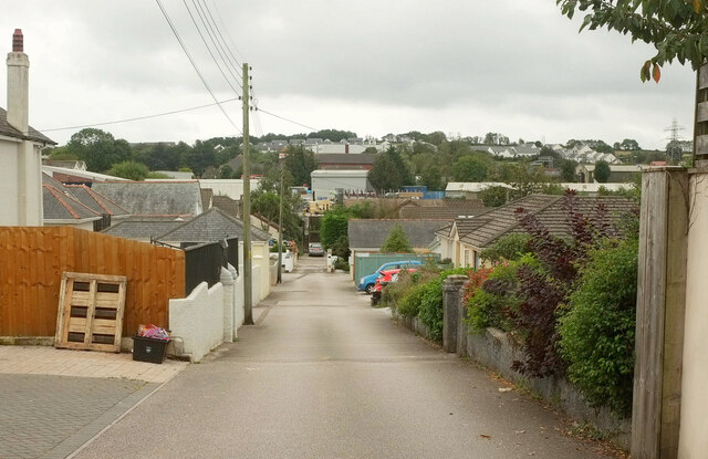
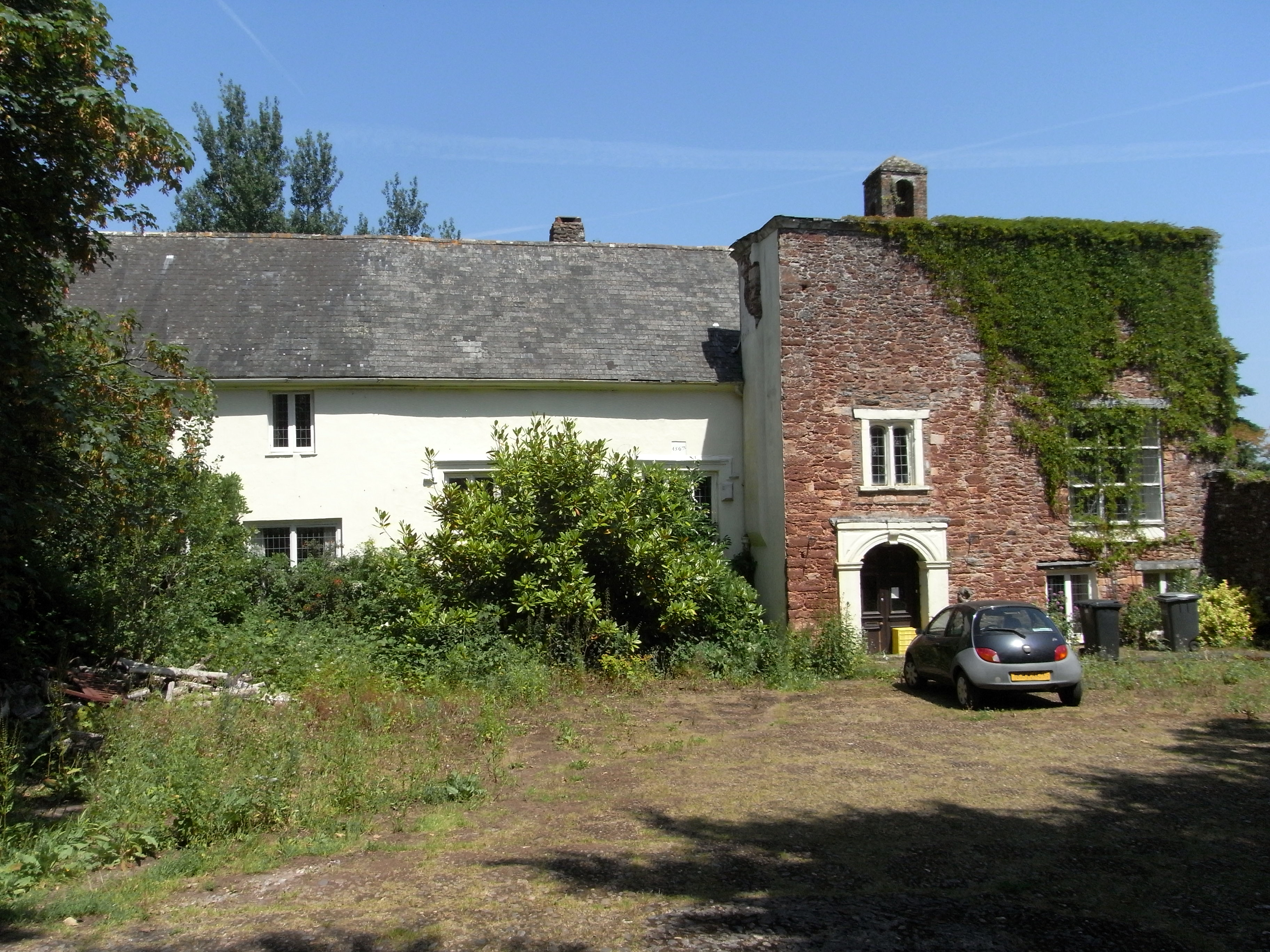
Beechdown Images

Images are sourced within 2km of 50.429051/-3.6135877 or Grid Reference SX8560. Thanks to Geograph Open Source API. All images are credited.

Snowdonia Close Local Green Space From the eastern end near Snowdonia Close itself.
Snowdonia Close Local Green Space
From the eastern end near Snowdonia Close itself.
Snowdonia Close Looking right from <a href="https://www.geograph.org.uk/photo/7076774">SX8659 : Snowdonia Close Local Green Space</a>.
Snowdonia Close
Snowdonia Close Taken a few metres further north from <a href="https://www.geograph.org.uk/photo/7076806">SX8659 : Snowdonia Close</a>, as the disposition of the sunlit houses alters.
Snowdonia Close
Taken a few metres further north from SX8659 : Snowdonia Close, as the disposition of the sunlit houses alters.
Path junction by Borough Road, Paignton The right turn leads into Snowdonia Close.
Path junction by Borough Road, Paignton
The right turn leads into Snowdonia Close.
Path by Borough Road, Paignton Looking the other way along the path shown in <a href="https://www.geograph.org.uk/photo/7076824">SX8659 : Path junction by Borough Road, Paignton</a>.
Path by Borough Road, Paignton
Looking the other way along the path shown in SX8659 : Path junction by Borough Road, Paignton.
Path by Borough Road, Paignton Approaches the junction of Borough Road with Pennine Drive.
Path by Borough Road, Paignton
Approaches the junction of Borough Road with Pennine Drive.
Arena, Paignton Academy A hireable venue at the secondary school, opened in 2020.
Arena, Paignton Academy
A hireable venue at the secondary school, opened in 2020.
Field by Higher Yalberton Road Between the road and Yalberton Stream. Behind the trees on the right is a southwestern fragment of Yalberton Industrial Estate. Windmill Hill rises behind, with Langdon Plantation.
Field by Higher Yalberton Road
Between the road and Yalberton Stream. Behind the trees on the right is a southwestern fragment of Yalberton Industrial Estate. Windmill Hill rises behind, with Langdon Plantation.
Elder in flower, Paignton By Snowdonia Close.
Elder in flower, Paignton
By Snowdonia Close.
Bus stop near Claylands Cross
Traffic lights and footbridge
Long Road Approaching Lower Yalberton Farm Holiday Park.
Long Road
Approaching Lower Yalberton Farm Holiday Park.
Long Road Looking in the opposite direction from <a href="https://www.geograph.org.uk/photo/7230590">SX8658 : Long Road</a> as the lane descends towards Lower Yalberton Farm.
Long Road
Looking in the opposite direction from SX8658 : Long Road as the lane descends towards Lower Yalberton Farm.
Scrub and trees near Lower Yalberton Buddleia beside a private track from the lane shown in <a href="https://www.geograph.org.uk/photo/7230590">SX8658 : Long Road</a>.
Scrub and trees near Lower Yalberton
Buddleia beside a private track from the lane shown in SX8658 : Long Road.
Scrub and trees near Lower Yalberton Looking left from <a href="https://www.geograph.org.uk/photo/7230608">SX8658 : Scrub and trees near Lower Yalberton</a>.
Scrub and trees near Lower Yalberton
Cleatlands Close, Paignton A cul-de-sac leaving Borough Road.
Cleatlands Close, Paignton
A cul-de-sac leaving Borough Road.
Cleatlands Close, Paignton Town houses a few metres further into the cul-de-sac whose entrance is shown in <a href="https://www.geograph.org.uk/photo/7362482">SX8759 : Cleatlands Close, Paignton</a>.
Cleatlands Close, Paignton
Town houses a few metres further into the cul-de-sac whose entrance is shown in SX8759 : Cleatlands Close, Paignton.
The Grove, Paignton A curious little residential cul-de-sac tucked away in the midst of retail and business parks.
The Grove, Paignton
A curious little residential cul-de-sac tucked away in the midst of retail and business parks.
Show me another place!

Beechdown is located at Grid Ref: SX8560 (Lat: 50.429051, Lng: -3.6135877)

Unitary Authority: Torbay

Police Authority: Devon and Cornwall

What 3 Words

///skins.actors.spark. Near Stoke Gabriel, Devon

Related Wikis

Blagdon, Paignton

Blagdon historically in the parish of Paignton in Devon, England (today in the parish of Collaton St Mary), is a historic Manor, the seat of the Kirkham...

Church of St Mary, Collaton St Mary

The Church of St Mary, in the village of Collaton St Mary in Devon, was built between 1864 and 1866 in memory of Mary Maxwell Hogg, teenaged daughter of...

2019 Totnes bus crash

The 2019 Totnes bus crash was a single-vehicle collision on the A385 road at Berry Pomeroy, Devon, England on 5 October 2019. More than 50 people – including...

Aish, Stoke Gabriel

Aish is a hamlet in the English county of Devon, near the village of Stoke Gabriel. Aish House is a Grade II listed 19th century house on the south side...

Nearby Amenities

Located within 500m of 50.429051,-3.6135877
Bus Stop
Blagdon Inn
Naptan AtcoCode: 1190TOA88858
Naptan Bearing: W
Naptan CommonName: Blagdon Inn
Naptan Crossing: Blagdon
Naptan Landmark: Torbay Motel
Naptan NaptanCode: tbygwtp
Naptan PlusbusZoneRef: NABT
Naptan ShortCommonName: Blagdon Inn
Naptan Street: Totnes Road
Source: naptan_import;survey
Lat/Long: 50.4284552/-3.6132823
Bus Stop
Ardene
Naptan AtcoCode: 1190TOA10945
Naptan Bearing: W
Naptan CommonName: Ardene
Naptan Landmark: Little Blagdon Farm
Naptan NaptanCode: tbyadgj
Naptan PlusbusZoneRef: NABT
Naptan ShortCommonName: Ardene
Naptan Street: Totnes Road
Naptan Verified: no
Shelter: no
Source: naptan_import
Lat/Long: 50.4289052/-3.6073311
Bus Stop
Blagdon Caravan Park
Naptan AtcoCode: 1190TOA10946
Naptan Bearing: E
Naptan CommonName: Blagdon Caravan Park
Naptan NaptanCode: tbyadat
Naptan PlusbusZoneRef: NABT
Naptan ShortCommonName: Blagdon Caravan Park
Naptan Street: Totnes Road
Naptan Verified: no
Source: naptan_import
Lat/Long: 50.4285782/-3.6153597
Bus Stop
Blagdon Caravan Park
Naptan AtcoCode: 1190TOA10947
Naptan Bearing: W
Naptan CommonName: Blagdon Caravan Park
Naptan Indicator: Opp
Naptan Landmark: Beechdown Farm
Naptan NaptanCode: tbyadap
Naptan PlusbusZoneRef: NABT
Naptan ShortCommonName: Blagdon Caravan Park
Naptan Street: Totnes Road
Naptan Verified: no
Source: naptan_import
Lat/Long: 50.4284826/-3.6157647
Power: tower
Source: Bing
Lat/Long: 50.4277763/-3.6180491
Power: tower
Source: Bing
Lat/Long: 50.4303788/-3.619539
Generator Method: photovoltaic
Generator Output Electricity: yes
Generator Source: solar
Generator Type: solar_photovoltaic_panel
Location: roof
Power: generator
Lat/Long: 50.4287638/-3.6072315
Generator Method: photovoltaic
Generator Output Electricity: yes
Generator Source: solar
Generator Type: solar_photovoltaic_panel
Location: roof
Power: generator
Lat/Long: 50.4287621/-3.6073683
Generator Method: photovoltaic
Generator Output Electricity: yes
Generator Source: solar
Generator Type: solar_photovoltaic_panel
Location: roof
Power: generator
Lat/Long: 50.4284904/-3.6172656
Power: pole
Lat/Long: 50.4278215/-3.6192988
Power: pole
Lat/Long: 50.4298622/-3.6090718
Power: pole
Lat/Long: 50.4305363/-3.6091778
Power: pole
Lat/Long: 50.4315999/-3.6093628
Power: pole
Lat/Long: 50.4322466/-3.6094621
Location Transition: yes
Power: pole
Lat/Long: 50.4277888/-3.6082551
Power: pole
Lat/Long: 50.4264269/-3.6080217
Post Box
Brand: Royal Mail
Brand Wikidata: Q638098
Brand Wikipedia: en:Royal Mail
Collection Times: Mo-Fr 16:00; Sa 08:30; Su off
Operator: Royal Mail
Operator Wikidata: Q638098
Post Box Design: type_b
Post Box Mounting: brick_pillar
Post Box Type: wall
Ref: TQ4 203
Royal Cypher: GVIR
Royal Cypher Wikidata: Q33102169
Source: survey;streetlevel imagery;aerial imagery
Lat/Long: 50.4283626/-3.6139292
The data included in this document is from www.openstreetmap.org. The data is made available under ODbL.

Have you been to Beechdown?

Leave your review of Beechdown below (or comments, questions and feedback).