Lower Blagdon

Settlement in Devon

England

Lower Blagdon

Snowdonia Close Local Green Space From the eastern end near Snowdonia Close itself.
Snowdonia Close Local Green Space Credit: Derek Harper

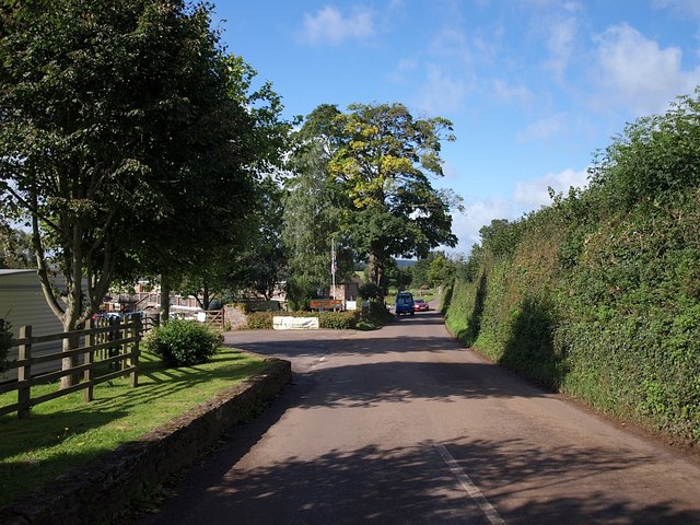
Lower Blagdon is a picturesque village located in the county of Devon, England. Nestled in the rolling hills of the South Hams district, it is surrounded by lush green countryside and offers stunning views of the nearby Dartmoor National Park. The village is situated approximately 5 miles southeast of the town of Ashburton and 15 miles northwest of the city of Plymouth.

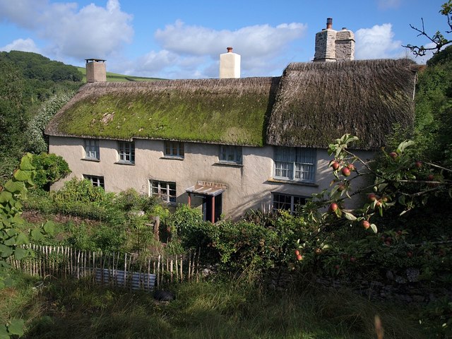
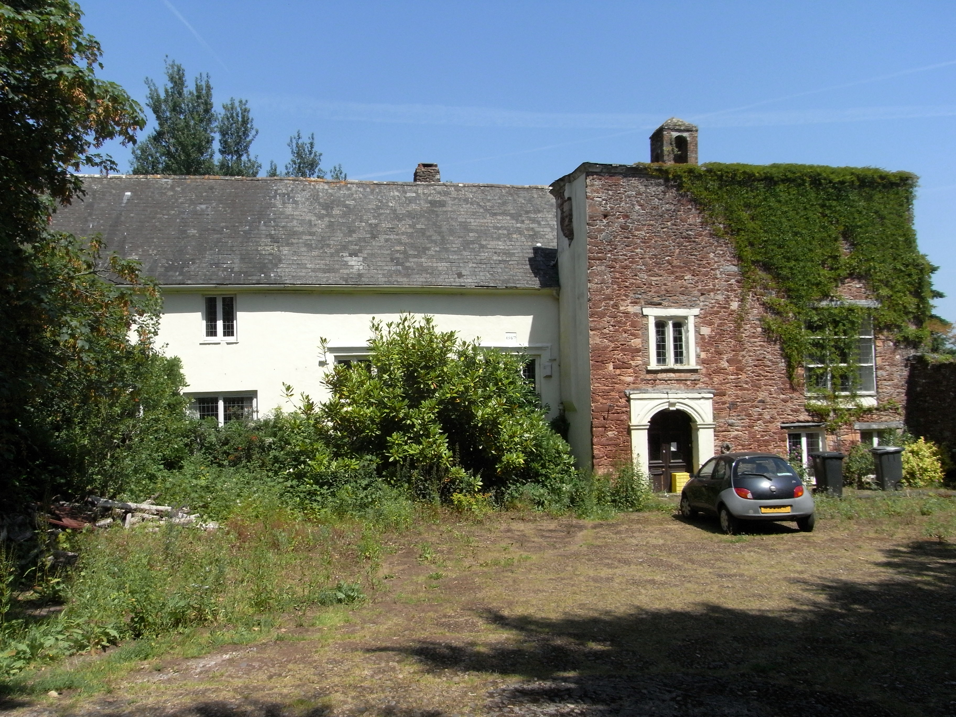
Lower Blagdon is known for its tranquil and idyllic setting, providing residents and visitors with a peaceful escape from the hustle and bustle of city life. The village primarily consists of charming traditional cottages, some of which date back several centuries, adding to its historic charm.

Despite its small size, Lower Blagdon boasts a strong sense of community, with a local pub and village hall serving as popular gathering places for residents. The pub, known as The Old Inn, offers a warm and friendly atmosphere, serving delicious food and a selection of local ales.

Outdoor enthusiasts will find plenty to explore in the surrounding area, with numerous walking trails and cycle routes weaving through the countryside. Additionally, Lower Blagdon is conveniently located near the River Dart, providing opportunities for fishing and water activities.

For amenities and services, residents of Lower Blagdon often travel to nearby towns such as Ashburton or Plymouth, where they can find a wider range of shops, schools, and healthcare facilities.

In summary, Lower Blagdon offers a charming and peaceful rural retreat, perfect for those seeking a slower pace of life amidst the natural beauty of Devon.

If you have any feedback on the listing, please let us know in the comments section below.

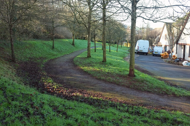
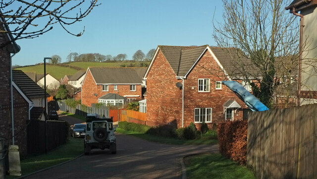
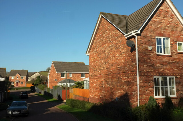
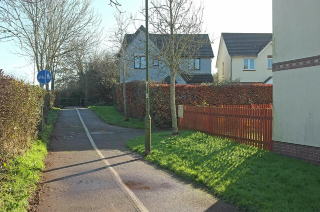
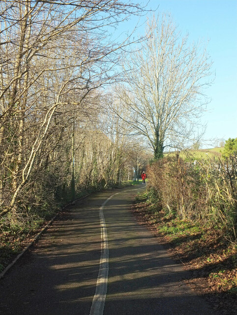
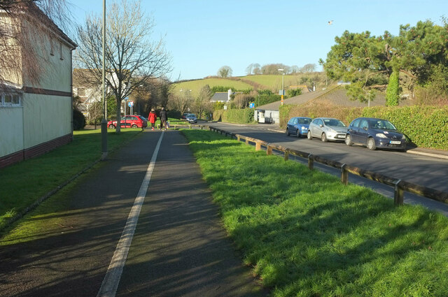
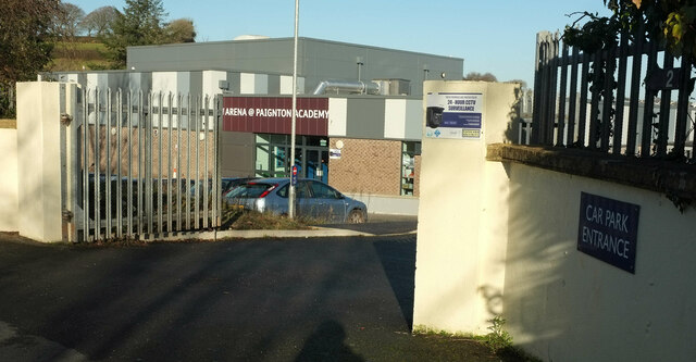
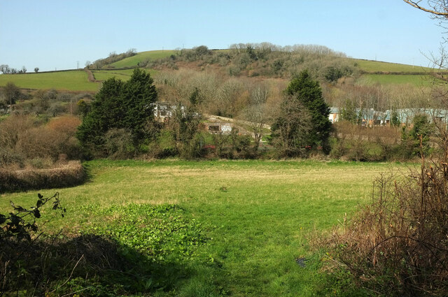
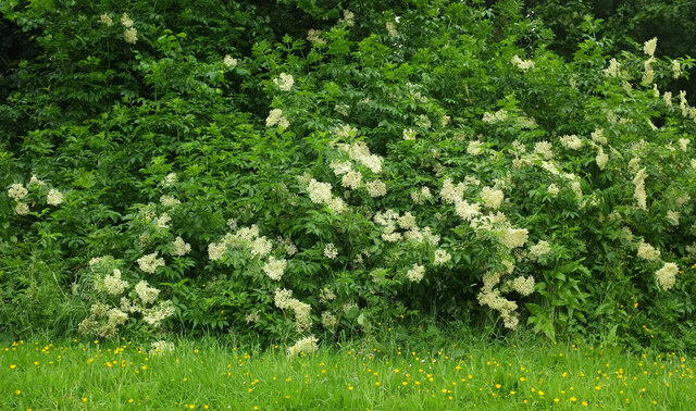
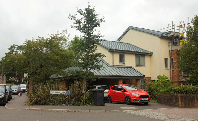
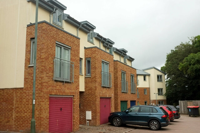
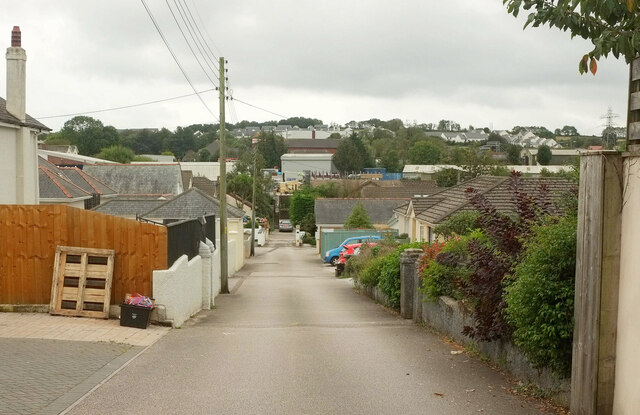
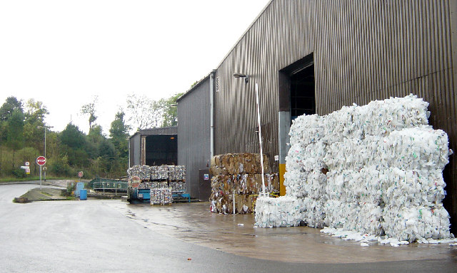
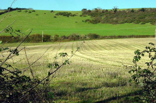
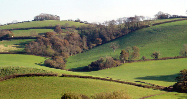
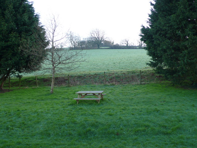
Lower Blagdon Images

Images are sourced within 2km of 50.435779/-3.6102819 or Grid Reference SX8560. Thanks to Geograph Open Source API. All images are credited.

Snowdonia Close Local Green Space From the eastern end near Snowdonia Close itself.
Snowdonia Close Local Green Space
From the eastern end near Snowdonia Close itself.
Snowdonia Close Looking right from <a href="https://www.geograph.org.uk/photo/7076774">SX8659 : Snowdonia Close Local Green Space</a>.
Snowdonia Close
Snowdonia Close Taken a few metres further north from <a href="https://www.geograph.org.uk/photo/7076806">SX8659 : Snowdonia Close</a>, as the disposition of the sunlit houses alters.
Snowdonia Close
Taken a few metres further north from SX8659 : Snowdonia Close, as the disposition of the sunlit houses alters.
Path junction by Borough Road, Paignton The right turn leads into Snowdonia Close.
Path junction by Borough Road, Paignton
The right turn leads into Snowdonia Close.
Path by Borough Road, Paignton Looking the other way along the path shown in <a href="https://www.geograph.org.uk/photo/7076824">SX8659 : Path junction by Borough Road, Paignton</a>.
Path by Borough Road, Paignton
Looking the other way along the path shown in SX8659 : Path junction by Borough Road, Paignton.
Path by Borough Road, Paignton Approaches the junction of Borough Road with Pennine Drive.
Path by Borough Road, Paignton
Approaches the junction of Borough Road with Pennine Drive.
Arena, Paignton Academy A hireable venue at the secondary school, opened in 2020.
Arena, Paignton Academy
A hireable venue at the secondary school, opened in 2020.
Field by Higher Yalberton Road Between the road and Yalberton Stream. Behind the trees on the right is a southwestern fragment of Yalberton Industrial Estate. Windmill Hill rises behind, with Langdon Plantation.
Field by Higher Yalberton Road
Between the road and Yalberton Stream. Behind the trees on the right is a southwestern fragment of Yalberton Industrial Estate. Windmill Hill rises behind, with Langdon Plantation.
Elder in flower, Paignton By Snowdonia Close.
Elder in flower, Paignton
By Snowdonia Close.
Cleatlands Close, Paignton A cul-de-sac leaving Borough Road.
Cleatlands Close, Paignton
A cul-de-sac leaving Borough Road.
Cleatlands Close, Paignton Town houses a few metres further into the cul-de-sac whose entrance is shown in <a href="https://www.geograph.org.uk/photo/7362482">SX8759 : Cleatlands Close, Paignton</a>.
Cleatlands Close, Paignton
Town houses a few metres further into the cul-de-sac whose entrance is shown in SX8759 : Cleatlands Close, Paignton.
The Grove, Paignton A curious little residential cul-de-sac tucked away in the midst of retail and business parks.
The Grove, Paignton
A curious little residential cul-de-sac tucked away in the midst of retail and business parks.
Torbay waste transfer and recycling centre The bales on the right comprise compressed plastic containers and bottles
Torbay waste transfer and recycling centre
The bales on the right comprise compressed plastic containers and bottles
Windmill Hill ridge View from the south, where the slope is probably too steep for ploughing
Windmill Hill ridge
View from the south, where the slope is probably too steep for ploughing
Broomball Plantation and hillside Viewed from the north west across the Longcombe valley
Broomball Plantation and hillside
Viewed from the north west across the Longcombe valley
Windmill Hill from the north The main road from Collaton to Totnes passes through the N edge of the square where the Blagdon Motel is situated. This is the view from the S edge of the motel grounds up the steep side of Windmill Hill
Windmill Hill from the north
The main road from Collaton to Totnes passes through the N edge of the square where the Blagdon Motel is situated. This is the view from the S edge of the motel grounds up the steep side of Windmill Hill
Cottage, Yalberton King William Cottage perhaps dates from William's arrival in Devon in 1688.
Cottage, Yalberton
King William Cottage perhaps dates from William's arrival in Devon in 1688.
Stoke Road at Whitehill Country Park The entrance to Whitehill Country Park, which is actually a campsite rather than a country park, is on the left. This is a heavily-used lane connecting Torbay with Stoke Gabriel, but there are narrow stretches such as the one just beyond the entrance.
Stoke Road at Whitehill Country Park
The entrance to Whitehill Country Park, which is actually a campsite rather than a country park, is on the left. This is a heavily-used lane connecting Torbay with Stoke Gabriel, but there are narrow stretches such as the one just beyond the entrance.
Show me another place!

Lower Blagdon is located at Grid Ref: SX8560 (Lat: 50.435779, Lng: -3.6102819)

Unitary Authority: Torbay

Police Authority: Devon and Cornwall

What 3 Words

///boxing.push.moved. Near Marldon, Devon

Related Wikis

Blagdon, Paignton

Blagdon historically in the parish of Paignton in Devon, England (today in the parish of Collaton St Mary), is a historic Manor, the seat of the Kirkham...

Church of St Mary, Collaton St Mary

The Church of St Mary, in the village of Collaton St Mary in Devon, was built between 1864 and 1866 in memory of Mary Maxwell Hogg, teenaged daughter of...

Beacon Hill transmitting station

The Beacon Hill transmitting station is an English telecommunications facility located at Beacon Hill, Marldon, Devon. It includes a guyed mast (Beacon...

2019 Totnes bus crash

The 2019 Totnes bus crash was a single-vehicle collision on the A385 road at Berry Pomeroy, Devon, England on 5 October 2019. More than 50 people – including...

Paignton Zoo

Paignton Zoo is a zoo in Paignton, Devon, England. The zoo was started as a private collection by avid animal collector and breeder, Herbert Whitley, in...

Wild Planet Trust

Wild Planet Trust, formerly known as the Whitley Wildlife Conservation Trust (WWCT), is a registered charity, set up to run Paignton Zoo after the death...

Paignton Cemetery

Paignton Cemetery is a burial ground situated within the town of Paignton, Devon, England. == Commonwealth War Graves == The cemetery contains 40 burials...

Primley House

Primley House is a large estate house in Paignton, Devon. Built in the 18th century by the Belfield family, it stayed in family hands until the early 20th...

Nearby Amenities

Located within 500m of 50.435779,-3.6102819
Lower Blagdon Cross
Place: locality
Lat/Long: 50.4357808/-3.6102825
Middle Blagdon
Is In: Devon, England, UK
Place: hamlet
Lat/Long: 50.4375863/-3.6109139
Lower Blagdon
Is In: Devon, England, UK
Place: hamlet
Lat/Long: 50.4339875/-3.6082293
Generator Method: photovoltaic
Generator Output Electricity: yes
Generator Source: solar
Generator Type: solar_photovoltaic_panel
Location: roof
Power: generator
Lat/Long: 50.4382244/-3.6089632
Generator Method: photovoltaic
Generator Output Electricity: yes
Generator Source: solar
Generator Type: solar_photovoltaic_panel
Location: roof
Power: generator
Lat/Long: 50.437301/-3.6084576
Generator Method: photovoltaic
Generator Output Electricity: yes
Generator Source: solar
Generator Type: solar_photovoltaic_panel
Location: roof
Power: generator
Lat/Long: 50.4368705/-3.6084656
Generator Method: photovoltaic
Generator Output Electricity: yes
Generator Source: solar
Generator Type: solar_photovoltaic_panel
Location: roof
Power: generator
Lat/Long: 50.4372472/-3.6083731
Generator Method: photovoltaic
Generator Output Electricity: yes
Generator Source: solar
Generator Type: solar_photovoltaic_panel
Location: ground
Power: generator
Lat/Long: 50.4365784/-3.6103901
Generator Method: photovoltaic
Generator Output Electricity: yes
Generator Source: solar
Generator Type: solar_photovoltaic_panel
Location: roof
Power: generator
Lat/Long: 50.4366049/-3.6103928
Generator Method: photovoltaic
Generator Output Electricity: yes
Generator Source: solar
Generator Type: solar_photovoltaic_panel
Location: roof
Power: generator
Lat/Long: 50.4366279/-3.6103928
Power: pole
Lat/Long: 50.4353836/-3.6055783
Power: pole
Lat/Long: 50.4356492/-3.6043622
Power: pole
Transformer: distribution
Lat/Long: 50.4335126/-3.6079507
Power: pole
Lat/Long: 50.4331649/-3.6090785
Power: pole
Lat/Long: 50.4315999/-3.6093628
Power: pole
Lat/Long: 50.4322466/-3.6094621
Power: pole
Lat/Long: 50.4329488/-3.6098269
Power: pole
Lat/Long: 50.4335784/-3.6100549
Power: pole
Lat/Long: 50.4346453/-3.6107107
Power: pole
Lat/Long: 50.4355978/-3.6110674
Power: pole
Lat/Long: 50.4365912/-3.6114536
Power: pole
Transformer: distribution
Lat/Long: 50.4373113/-3.6117406
Power: pole
Lat/Long: 50.4377554/-3.6128524
Power: pole
Lat/Long: 50.4381757/-3.6139172
Power: pole
Lat/Long: 50.4386267/-3.6150518
Post Box
Brand: Royal Mail
Brand Wikidata: Q638098
Brand Wikipedia: en:Royal Mail
Collection Times: Mo-Fr 16:15; Sa 09:30; Su off
Operator: Royal Mail
Operator Wikidata: Q638098
Post Box Design: type_c
Post Box Mounting: stone_wall
Post Box Type: wall
Ref: TQ3 132
Royal Cypher: EVIIR
Royal Cypher Wikidata: Q33102324
Source: survey;streetlevel imagery;aerial imagery
Lat/Long: 50.4375769/-3.6116019
The data included in this document is from www.openstreetmap.org. The data is made available under ODbL.

Have you been to Lower Blagdon?

Leave your review of Lower Blagdon below (or comments, questions and feedback).