Bedingfield Street
Settlement in Suffolk Mid Suffolk
England
Bedingfield Street
Bedingfield Street is a charming residential road located in the picturesque town of Suffolk, England. Situated in a peaceful neighborhood, this street is known for its beautiful architecture and historical significance. With its well-preserved buildings and cozy atmosphere, Bedingfield Street offers a glimpse into the town's rich past.
The street is lined with traditional, 17th-century cottages made of locally sourced red bricks, giving it a distinctive character. Many of these cottages have thatched roofs and are adorned with colorful flowering plants, creating a delightful ambiance. The architecture is a mix of Tudor and Georgian styles, showcasing the town's architectural evolution over the centuries.
Residents of Bedingfield Street enjoy a strong sense of community, with neighbors often engaging in friendly conversations and organizing local events. The street is known for its close-knit community spirit, where everyone looks out for one another.
Bedingfield Street is ideally situated near the town center, allowing residents easy access to amenities such as shops, cafes, and restaurants. Additionally, the street is surrounded by lush green spaces, making it an ideal location for nature lovers. The nearby countryside offers peaceful walking trails and scenic views, providing residents with ample opportunities for outdoor activities.
Overall, Bedingfield Street is a picturesque and historical residential road that offers a peaceful and welcoming environment for its residents. With its charming cottages, strong community spirit, and convenient location, it is no wonder that Bedingfield Street is highly regarded within Suffolk.
If you have any feedback on the listing, please let us know in the comments section below.
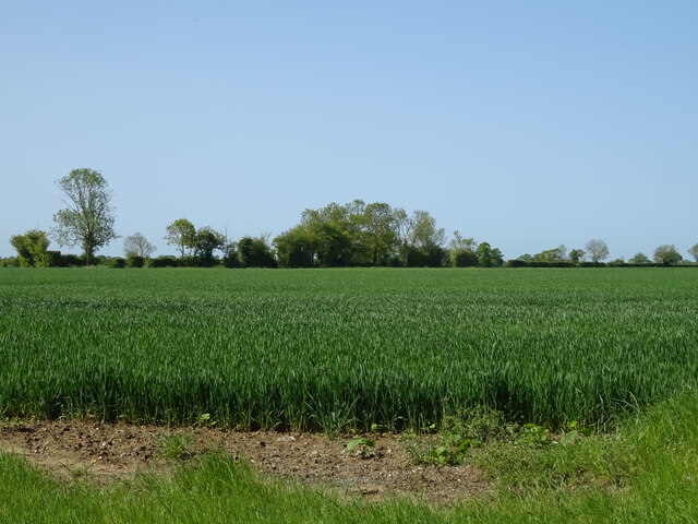
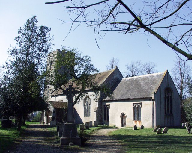
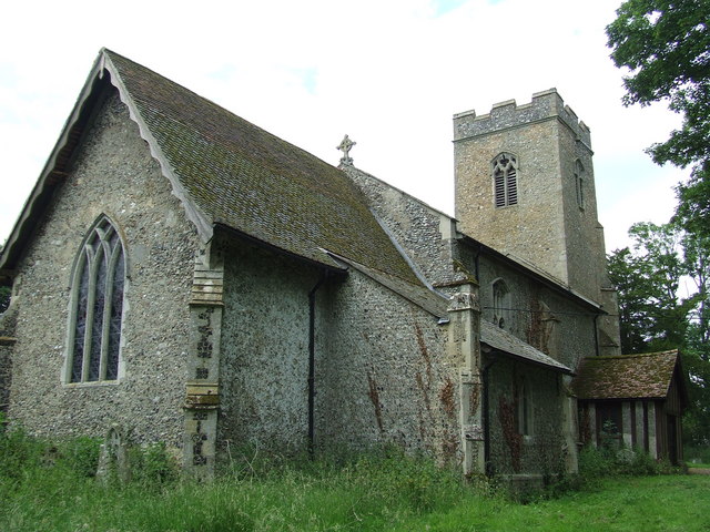
Bedingfield Street Images
Images are sourced within 2km of 52.267694/1.1872476 or Grid Reference TM1768. Thanks to Geograph Open Source API. All images are credited.


Bedingfield Street is located at Grid Ref: TM1768 (Lat: 52.267694, Lng: 1.1872476)
Administrative County: Suffolk
District: Mid Suffolk
Police Authority: Suffolk
What 3 Words
///soak.commuted.holidays. Near Debenham, Suffolk
Nearby Locations
Related Wikis
Bedingfield
Bedingfield is a village and civil parish in the Mid Suffolk district of Suffolk, England. Rishangles and Southolt were included in the population at the...

Southolt
Southolt is a village and civil parish in Suffolk, about 4+1⁄2 miles (7 km) southeast of Eye, on the road between Bedingfield and Worlingworth. == History... ==

Rishangles
Rishangles is a village and civil parish in the Mid Suffolk district of Suffolk in eastern England. The place-name 'Rishangles' is first attested in the...

Kenton railway station (Suffolk)
Kenton was a railway station on the Mid-Suffolk Light Railway. The station was located a mile north of the hamlet of Kenton. == History == Opened by the...
Aspall and Thorndon railway station
Aspall and Thorndon was a railway station on the Mid-Suffolk Light Railway. This station was located with Aspall to the south, Debenham 2.5 miles further...

Kenton, Suffolk
Kenton is a village and civil parish in the Mid Suffolk district of Suffolk in eastern England. Located 1.9 miles to the north-east of Debenham, in 2005...
Aspall, Suffolk
Aspall is a village and civil parish in the Mid Suffolk district of Suffolk, England. According to the 2001 census it had a population of 52, and estimated...

Occold
Occold is a village in Suffolk, England. Occold is located 2 miles south east from the town of Eye, and 8 miles from the town of Diss. == History == In...
Nearby Amenities
Located within 500m of 52.267694,1.1872476Have you been to Bedingfield Street?
Leave your review of Bedingfield Street below (or comments, questions and feedback).