Bedfield Long Green
Settlement in Suffolk Mid Suffolk
England
Bedfield Long Green

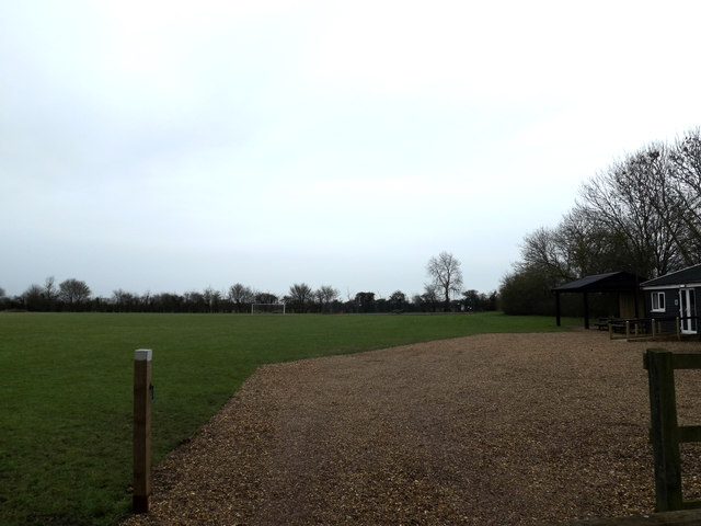
Bedfield Long Green is a small village located in the county of Suffolk, in the eastern part of England. Situated approximately 25 miles north of Ipswich, the village is part of the Mid Suffolk district. Bedfield Long Green is surrounded by picturesque countryside, with rolling hills, fields, and meadows dominating the landscape.
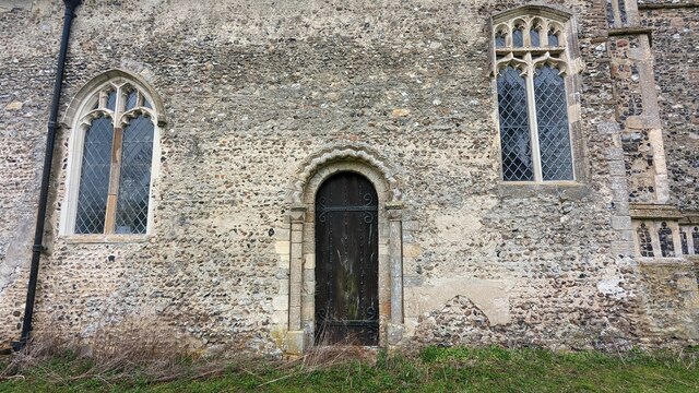
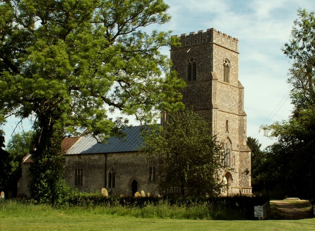
The village itself is characterized by its charming and traditional English architecture, with many of the buildings dating back several centuries. The centerpiece of Bedfield Long Green is the St. Nicholas Church, a beautiful medieval church that has been a part of the village for over 700 years. The church's striking tower can be seen from miles around, making it a prominent landmark in the area.
Despite its small size, Bedfield Long Green has a close-knit community that is proud of its rural heritage. The village has a strong agricultural tradition, with farming and agriculture playing a vital role in the local economy. The surrounding farmland is primarily used for arable farming, with crops such as wheat, barley, and oilseed rape being grown.
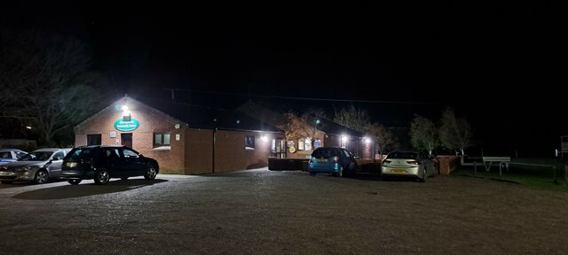
In terms of amenities, Bedfield Long Green has a village hall that serves as a hub for community events and gatherings. There are also a few small businesses in the village, including a local shop and a pub, which provide essential services to the residents.
Overall, Bedfield Long Green is a peaceful and idyllic village that offers a glimpse into the traditional English countryside. Its rich history, stunning architecture, and strong sense of community make it a charming place to live or visit.
If you have any feedback on the listing, please let us know in the comments section below.
Bedfield Long Green Images
Images are sourced within 2km of 52.258882/1.2488177 or Grid Reference TM2167. Thanks to Geograph Open Source API. All images are credited.


Bedfield Long Green is located at Grid Ref: TM2167 (Lat: 52.258882, Lng: 1.2488177)
Administrative County: Suffolk
District: Mid Suffolk
Police Authority: Suffolk
What 3 Words
///worldwide.busters.upholds. Near Debenham, Suffolk
Nearby Locations
Related Wikis
Bedfield
Bedfield is a village and civil parish in the Mid Suffolk district of Suffolk, England. == References ==
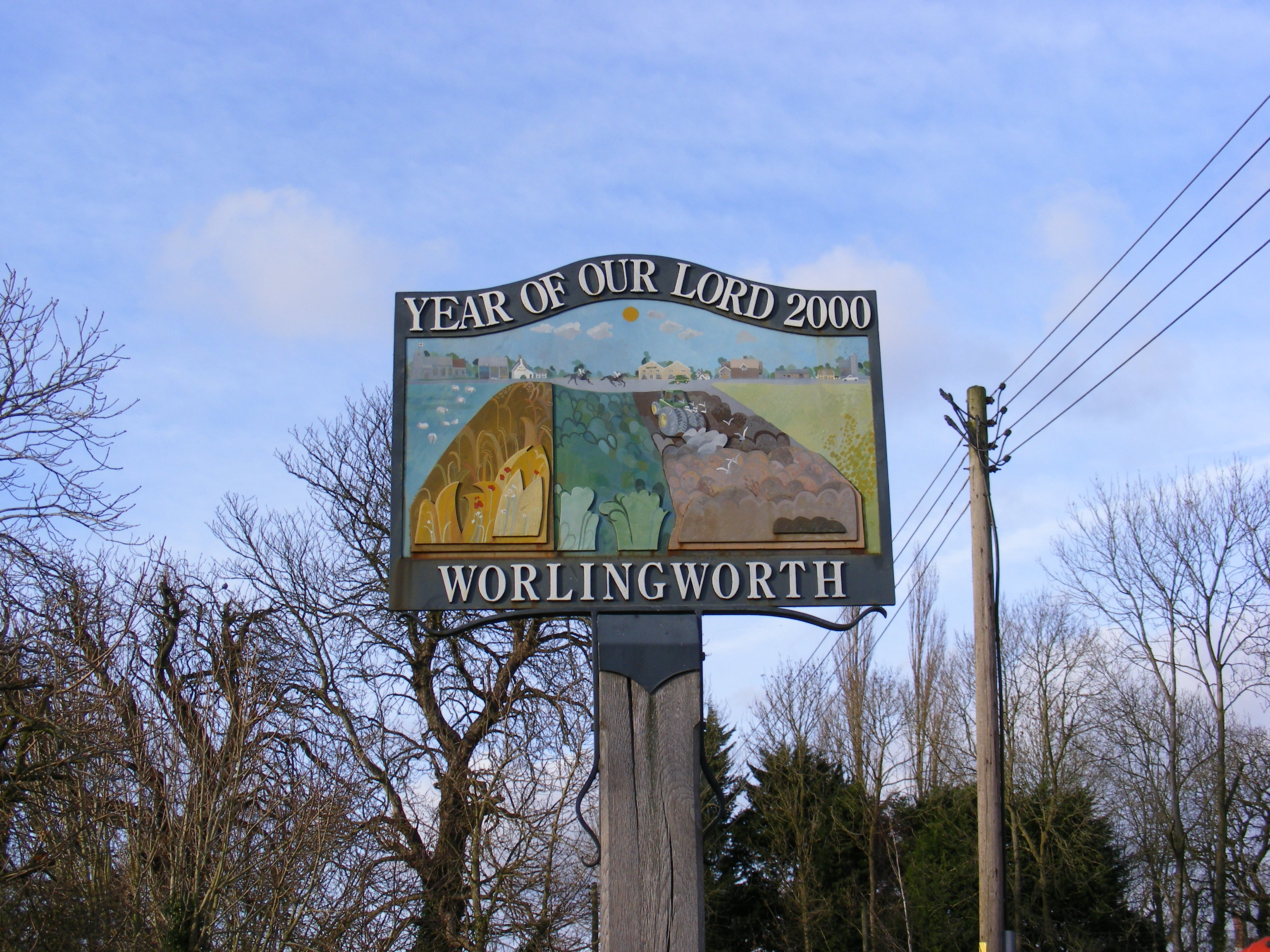
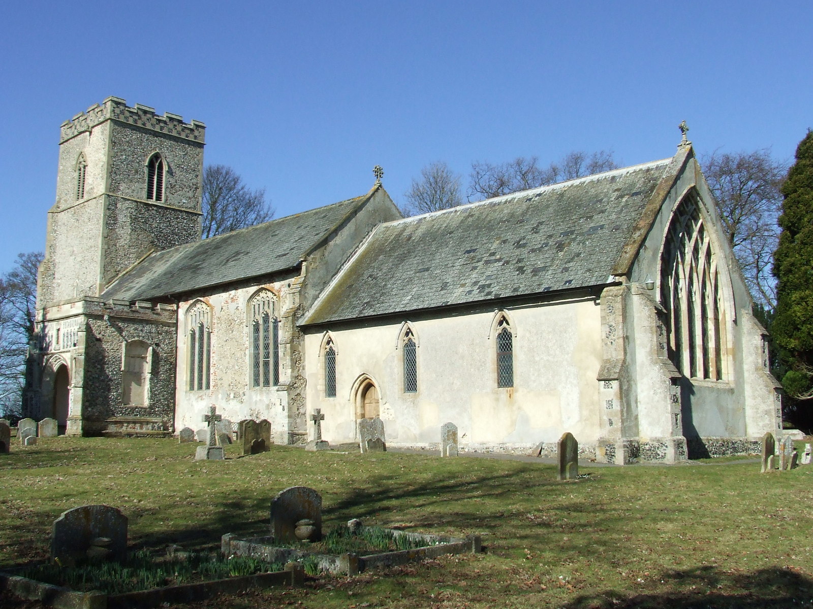
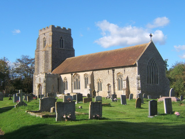
Worlingworth
Worlingworth is a village and civil parish in the Mid Suffolk district of Suffolk in eastern England, located around ten miles south-east of Diss. In 2011...

Worlingworth railway station
Worlingworth railway station was a station located in Worlingworth, Suffolk. It was on the Mid-Suffolk Light Railway between Kenton and Horham. It opened...
Monk Soham
Monk Soham is a village in Suffolk, eastern England, four miles (6.4 km) northeast of Debenham and six miles (10 km) northwest of Framlingham. The neighbouring...
Tannington
Tannington is a village and civil parish in the Mid Suffolk district of Suffolk in eastern England. Located around ten miles south-east of Diss, in 2005...
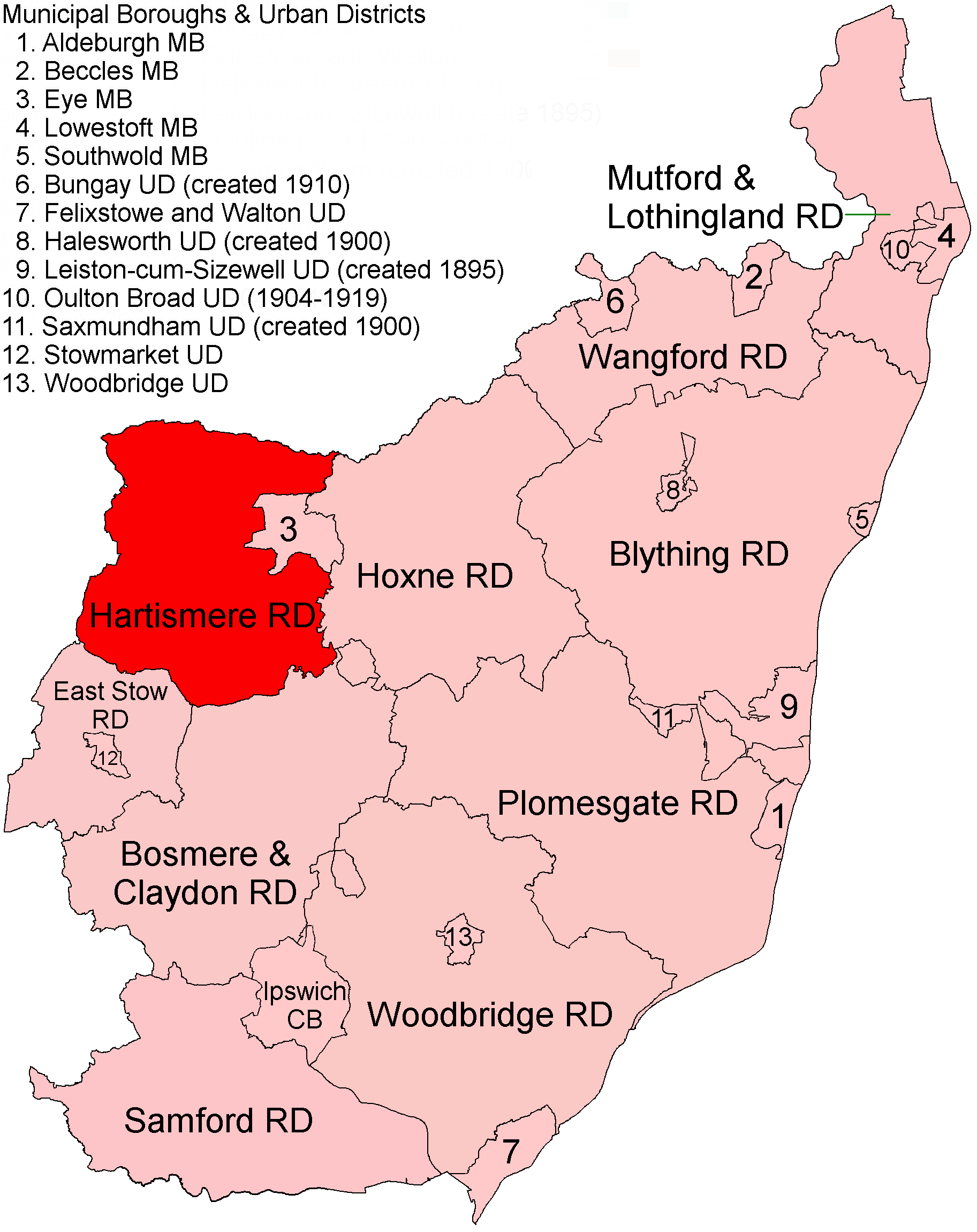
Hartismere Rural District
Hartismere Rural District was a rural district in the county of East Suffolk, England. It was expanded in 1934 by merging with the disbanded Hoxne Rural...

Kenton, Suffolk
Kenton is a village and civil parish in the Mid Suffolk district of Suffolk in eastern England. Located 1.9 miles to the north-east of Debenham, in 2005...
Kenton railway station (Suffolk)
Kenton was a railway station on the Mid-Suffolk Light Railway. The station was located a mile north of the hamlet of Kenton. == History == Opened by the...
Nearby Amenities
Located within 500m of 52.258882,1.2488177Have you been to Bedfield Long Green?
Leave your review of Bedfield Long Green below (or comments, questions and feedback).