Bedenham

Settlement in Hampshire Gosport

England

Bedenham

The former Artillery Arms (now flats)
The former Artillery Arms (now flats) Credit: JThomas

Bedenham is a small village located in the county of Hampshire, England. Situated on the eastern bank of the River Hamble, it is part of the borough of Fareham. The village is surrounded by picturesque countryside, offering residents and visitors a tranquil and idyllic setting.

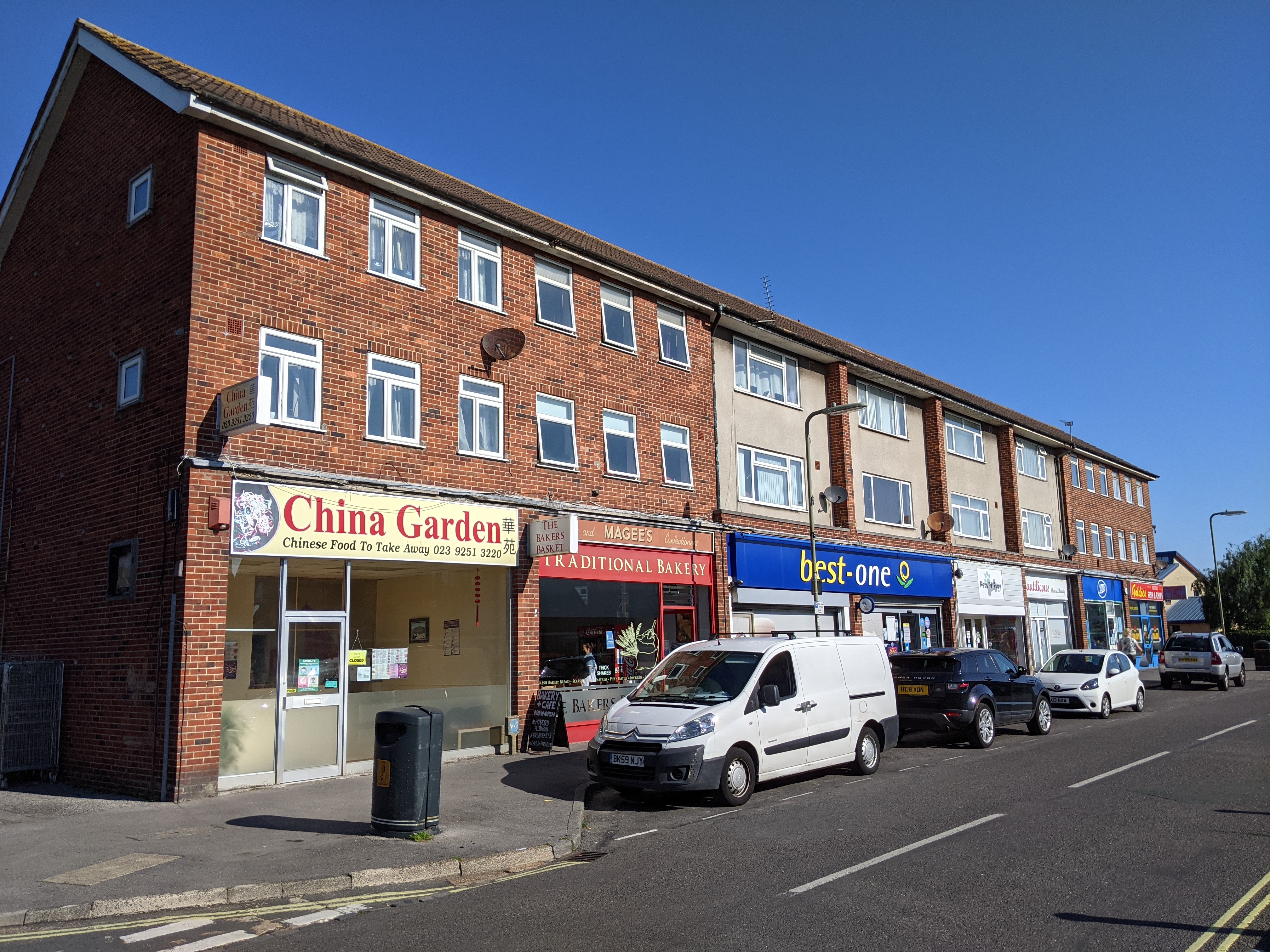
With a population of around 1,000 people, Bedenham is known for its close-knit community and strong sense of local pride. The village features a range of amenities, including a local pub, a post office, and a small convenience store, catering to the everyday needs of its residents.

Bedenham is also home to a primary school, providing education for local children up to the age of 11. The village benefits from its proximity to larger towns and cities, such as Fareham and Southampton, which offer additional educational, recreational, and employment opportunities.

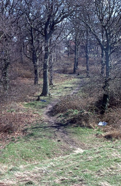
The River Hamble plays a significant role in the village, attracting visitors who enjoy boating, fishing, and other water-based activities. The surrounding countryside offers ample opportunities for walking, hiking, and enjoying the natural beauty of the area.

Transport links are readily available in Bedenham, with regular bus services connecting the village to neighboring towns and villages. The M27 motorway is also easily accessible, providing convenient access to other parts of Hampshire and beyond.

Overall, Bedenham is a charming and peaceful village, offering residents a close community spirit, beautiful surroundings, and easy access to amenities and transport links.

If you have any feedback on the listing, please let us know in the comments section below.
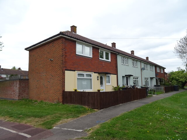
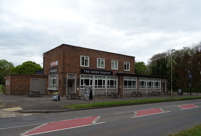
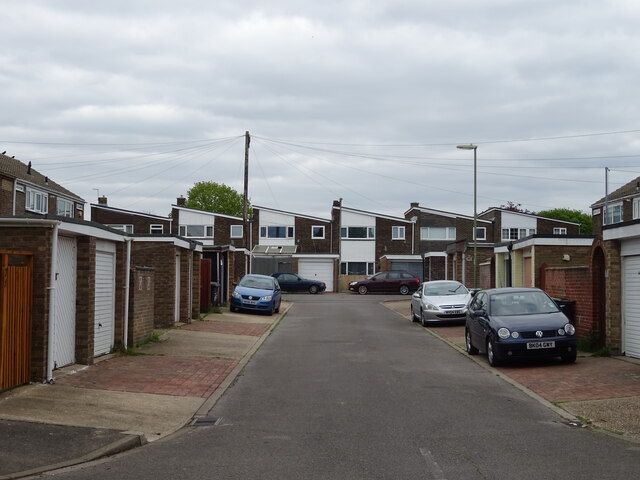
Bedenham Images

Images are sourced within 2km of 50.824992/-1.1626065 or Grid Reference SU5903. Thanks to Geograph Open Source API. All images are credited.

The former Artillery Arms (now flats)
Cycle path on disused railway
Houses off Rowner Road
Dual use path beside Rowner Road (B3334)
Car sales on Rowner Road (B3334)
Shops on Rowner Road (B3334)
The Green Dragon
The Green Dragon
Sign for the Green Dragon
Long Drive off Rowner Road
Path beside Rowner Road (B3334)
Houses on Rowner Road
Rowner Road (B3334)
Rowner Road (B3334)
B3385 towards Fareham
Bedenham Primary School
Oakdene Woods
Oakdene Woods
Part of Oakdene Woods and Tichborne Way
Fort Brockhurst
Fort Brockhurst
The Spinney (1)
The Spinney (1)
Show me another place!

Bedenham is located at Grid Ref: SU5903 (Lat: 50.824992, Lng: -1.1626065)

Administrative County: Hampshire

District: Gosport

Police Authority: Hampshire

What 3 Words

///middle.taxi.coats. Near Fareham, Hampshire

Nearby Locations

Bedenham Elson Wood

Related Wikis

Bridgemary

Bridgemary is a ward in Gosport, Hampshire, England. It is situated to the north of Gosport on the A32 towards Fareham. Every year there is a carnival...

Fort Elson

Fort Elson was one of the early Palmerston Forts, in Gosport, England, the northernmost polygonal land fort in the defence line to the west of Gosport...

Bridgemary School

Bridgemary School is an 11-16 secondary school with academy status in Gosport, Hampshire, England. Bridgemary School takes part of its cohort from the...

DM Gosport

Defence Munitions Gosport is a defence munitions site situated on the southwestern shores of Portsmouth harbour, southeast of Fareham in Hampshire, England...

Rowner

Rowner is a small settlement which forms part of the borough of Gosport, on the south coast of Hampshire, England. == History == As Roman burial shrouds...

Gosport and Fareham (UK Parliament constituency)

Gosport and Fareham was a parliamentary constituency in Hampshire which returned one Member of Parliament (MP) to the House of Commons of the Parliament...

Fleetlands F.C.

Fleetlands Football Club is a football club based in Gosport, Hampshire, England. They are members of the Wessex League Division One. The club is affiliated...

Fleetlands Heliport

Fleetlands is a heliport operated by Standard Aero located within Gosport, Hampshire, England. == History == In 1940 a Royal Naval Air Yard, RNAY Fleetlands...

Nearby Amenities

Located within 500m of 50.824992,-1.1626065
Pub
The Manor Hotel
Addr City: Gosport
Addr Country: GB
Addr Postcode: PO13 0JY
Addr Street: Brewers Lane
Fhrs Id: 627245
Lat/Long: 50.8213685/-1.1648662
Traffic Signals
Lat/Long: 50.8284039/-1.1670614
Bus Stop
Cunningham Drive
Bench: yes
Bin: yes
Bus: yes
Naptan AtcoCode: 1900HA050007
Naptan Bearing: NW
Naptan CommonName: Cunningham Drive
Naptan Crossing: Cunningham Drive
Naptan NaptanCode: hamdtpmt
Naptan PlusbusZoneRef: FAREHAM
Naptan Street: Fareham Road
Naptan Verified: no
Public Transport: platform
Shelter: yes
Source: naptan_import
Tactile Paving: no
Lat/Long: 50.8278267/-1.1666866
Bus Stop
Cunningham Drive
Bus: yes
Naptan AtcoCode: 1900HA050008
Naptan Bearing: SE
Naptan CommonName: Cunningham Drive
Naptan Crossing: Opp Cunningham Drive
Naptan NaptanCode: hamdtptp
Naptan PlusbusZoneRef: FAREHAM
Naptan Street: Fareham Road
Naptan Verified: no
Public Transport: platform
Shelter: yes
Source: naptan_import
Lat/Long: 50.8275148/-1.1662437
Bus Stop
The Coach House
Bus: yes
Naptan AtcoCode: 1900HA050009
Naptan Bearing: N
Naptan CommonName: The Coach House
Naptan Crossing: Camp Road
Naptan NaptanCode: hamdtwdj
Naptan PlusbusZoneRef: FAREHAM
Naptan Street: Fareham Road
Naptan Verified: no
Public Transport: platform
Source: naptan_import
Lat/Long: 50.8252511/-1.1651432
Bus Stop
The Coach House
Bus: yes
Naptan AtcoCode: 1900HA050010
Naptan Bearing: S
Naptan CommonName: The Coach House
Naptan Crossing: Bedenham Lane
Naptan NaptanCode: hamdtwdw
Naptan PlusbusZoneRef: FAREHAM
Naptan Street: Fareham Road
Naptan Verified: no
Public Transport: platform
Source: naptan_import
Lat/Long: 50.8245032/-1.1649294
Bus Stop
Frater
Bus: yes
Naptan AtcoCode: 1900HA050011
Naptan Bearing: NW
Naptan CommonName: Frater
Naptan Crossing: Tichborne Way
Naptan NaptanCode: hamdtwjt
Naptan PlusbusZoneRef: FAREHAM
Naptan Street: Fareham Road
Naptan Verified: no
Public Transport: platform
Shelter: yes
Source: naptan_import
Lat/Long: 50.8217719/-1.1640269
Bus Stop
Frater
Bus: yes
Naptan AtcoCode: 1900HA050012
Naptan Bearing: SE
Naptan CommonName: Frater
Naptan Crossing: Opp Tichborne Way
Naptan NaptanCode: hamdtwpt
Naptan PlusbusZoneRef: FAREHAM
Naptan Street: Fareham Road
Naptan Verified: no
Public Transport: platform
Source: naptan_import
Lat/Long: 50.8205128/-1.1627717
Barrier: bollard
Lat/Long: 50.8248955/-1.1635202
Traffic Calming: hump
Lat/Long: 50.8213263/-1.1652197
Traffic Calming: hump
Lat/Long: 50.8258368/-1.1685114
Barrier: lift_gate
Lat/Long: 50.8226766/-1.1609703
Crossing
Lat/Long: 50.8211236/-1.1621637
Post Box
Brand: Royal Mail
Brand Wikidata: Q638098
Operator: Royal Mail
Operator Wikidata: Q638098
Post Box Type: pillar
Ref: PO13 79
Source: GPS
Lat/Long: 50.822386/-1.1628506
Railway: switch
Lat/Long: 50.8209441/-1.1639903
Turning Circle
Lat/Long: 50.8281188/-1.1638489
Turning Circle
Lat/Long: 50.8275309/-1.1636209
Turning Circle
Lat/Long: 50.8272954/-1.1633661
Turning Circle
Lat/Long: 50.8270093/-1.163123
Post Box
Post Box Type: pillar
Ref: PO13 78D
Royal Cypher: GR
Royal Cypher Wikidata: Q33102273
Lat/Long: 50.8247986/-1.1651422
Fast Food
Gosport Lunch Box
Cuisine: sandwich
Lat/Long: 50.8250439/-1.1647452
Traffic Calming: hump
Lat/Long: 50.8263773/-1.1684749
Traffic Calming: hump
Lat/Long: 50.8253319/-1.1683595
Traffic Calming: hump
Lat/Long: 50.8247999/-1.1679357
Traffic Calming: hump
Lat/Long: 50.8218025/-1.1655915
Traffic Calming: hump
Lat/Long: 50.8223024/-1.1659643
Traffic Calming: hump
Lat/Long: 50.822792/-1.1663425
Traffic Calming: hump
Lat/Long: 50.8232334/-1.1666912
Traffic Calming: hump
Lat/Long: 50.8237087/-1.1670721
Power: substation
Lat/Long: 50.8247965/-1.1635401
Generator Method: photovoltaic
Generator Output Electricity: yes
Generator Source: solar
Generator Type: solar_photovoltaic_panel
Location: roof
Power: generator
Lat/Long: 50.8240289/-1.1694136
Generator Method: photovoltaic
Generator Output Electricity: yes
Generator Source: solar
Generator Type: solar_photovoltaic_panel
Location: roof
Power: generator
Lat/Long: 50.8240052/-1.1693198
Generator Method: photovoltaic
Generator Output Electricity: yes
Generator Source: solar
Generator Type: solar_photovoltaic_panel
Location: roof
Power: generator
Lat/Long: 50.8254691/-1.1681423
Generator Method: photovoltaic
Generator Output Electricity: yes
Generator Source: solar
Generator Type: solar_photovoltaic_panel
Location: roof
Power: generator
Lat/Long: 50.8246711/-1.168153
Generator Method: photovoltaic
Generator Output Electricity: yes
Generator Source: solar
Generator Type: solar_photovoltaic_panel
Location: roof
Power: generator
Lat/Long: 50.8248185/-1.1682656
Generator Method: photovoltaic
Generator Output Electricity: yes
Generator Source: solar
Generator Type: solar_photovoltaic_panel
Location: roof
Power: generator
Lat/Long: 50.8248981/-1.1683327
Generator Method: photovoltaic
Generator Output Electricity: yes
Generator Source: solar
Generator Type: solar_photovoltaic_panel
Location: roof
Power: generator
Lat/Long: 50.8249727/-1.1684105
Barrier: bollard
Lat/Long: 50.8237051/-1.1650003
Source: Bing + shadows
Lat/Long: 50.8215809/-1.1592568
Social Club
Rna Club
Addr City: Gosport
Addr Country: GB
Addr Housenumber: 66
Addr Postcode: PO13 0AG
Addr Street: Fareham Road
Fhrs Id: 627246
Survey Date: 2014-06-02
Lat/Long: 50.8232084/-1.1638715
Social Club
Bridgemary Bowling Club
Addr City: Gosport
Addr Country: GB
Addr Street: Bridgemary Avenue
Fhrs Id: 627740
Survey Date: 2018-05-30
Lat/Long: 50.8275836/-1.16763
Traffic Signals
Traffic Signals Direction: forward
Lat/Long: 50.8215836/-1.1637397
Traffic Signals
Traffic Signals Direction: backward
Lat/Long: 50.8215134/-1.1633419
Traffic Signals
Traffic Signals Direction: backward
Lat/Long: 50.8212566/-1.1634684
Traffic Signals
Traffic Signals Direction: forward
Lat/Long: 50.8212867/-1.1638825
Crossing
Crossing: traffic_signals
Crossing Markings: dots
Crossing Ref: puffin
Kerb: lowered
Tactile Paving: yes
Lat/Long: 50.8215638/-1.163724
Crossing
Crossing: uncontrolled
Crossing Markings: dots
Kerb: flush
Tactile Paving: yes
Lat/Long: 50.8213107/-1.1638151
Crossing
Crossing: uncontrolled
Crossing Markings: dots
Kerb: flush
Tactile Paving: yes
Lat/Long: 50.8214888/-1.1633913
The data included in this document is from www.openstreetmap.org. The data is made available under ODbL.

Have you been to Bedenham?

Leave your review of Bedenham below (or comments, questions and feedback).