Beckbottom

Settlement in Cumberland Allerdale

England

Beckbottom

Road junction at Highmoor Park Highmoor Park surrounded by iron railings has Syke Road to the left in this view and the B5305 road to Wigton to the right
Road junction at Highmoor Park Credit: Kevin Waterhouse

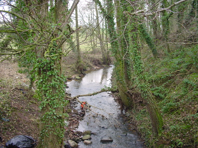
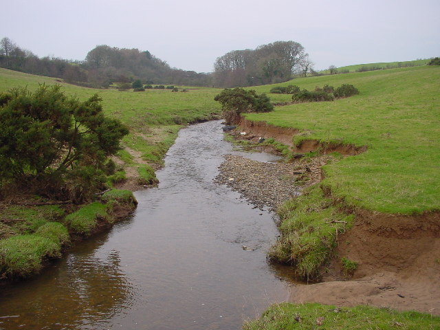
Beckbottom is a small village located in the county of Cumberland, in the Northwest region of England. Situated in the picturesque Lake District National Park, Beckbottom is known for its stunning natural beauty and tranquil surroundings. The village is nestled amidst rolling green hills, with a backdrop of magnificent mountains and sparkling lakes.

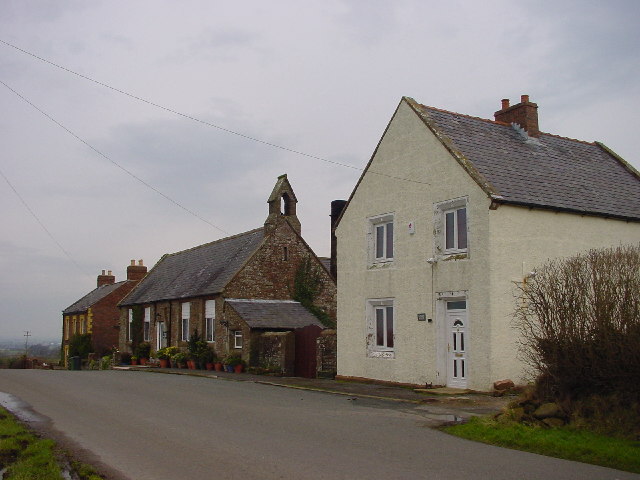
With a population of around 200 residents, Beckbottom has a close-knit community that prides itself on its strong connections and welcoming atmosphere. The village is predominantly residential, with a scattering of charming cottages and traditional stone-built houses. Many of these properties date back several centuries, adding to the village's timeless appeal.

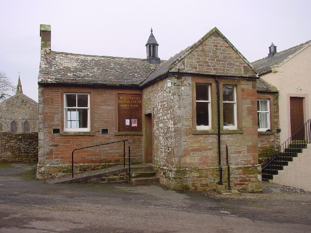
Despite its small size, Beckbottom offers a range of amenities to its residents. The village boasts a local pub, The Beckbottom Arms, which is a popular gathering spot for locals and visitors alike. Additionally, there is a village hall that hosts various community events throughout the year, including fairs, social gatherings, and fundraisers.

Nature enthusiasts are drawn to Beckbottom due to its convenient proximity to the Lake District National Park. The village serves as an excellent base for exploring the park's renowned hiking trails, picturesque lakes, and breathtaking viewpoints. Outdoor activities such as fishing, boating, and wildlife spotting are also popular among residents and visitors.

In summary, Beckbottom is a charming village nestled in the heart of the Lake District National Park. With its natural beauty, close-knit community, and access to outdoor recreational opportunities, it offers a peaceful and idyllic setting for those seeking a slower pace of life.

If you have any feedback on the listing, please let us know in the comments section below.
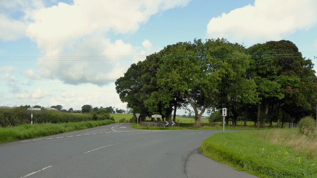
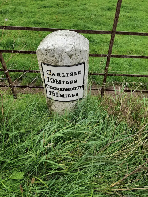
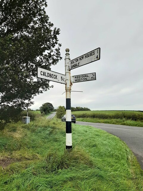
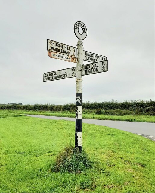
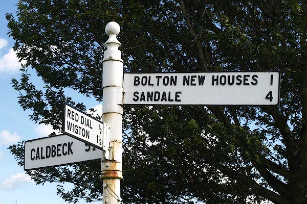
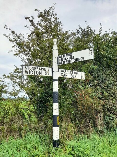
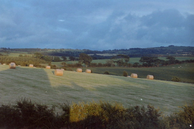
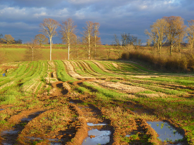
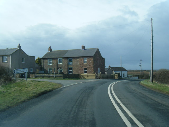
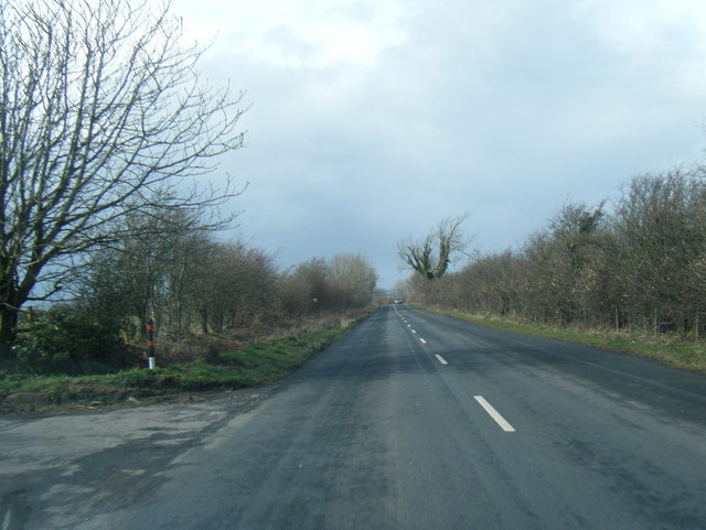
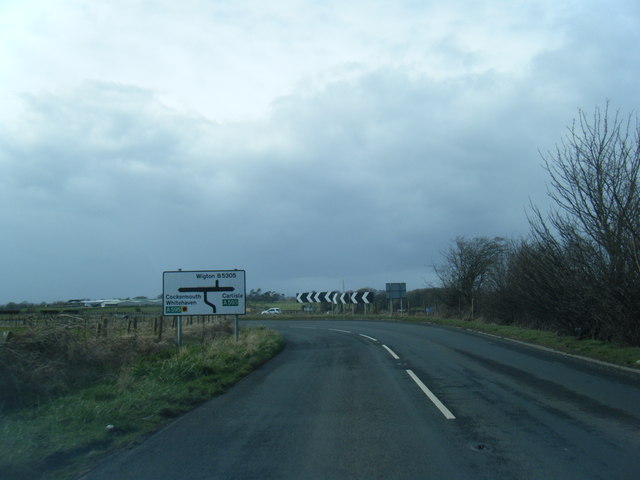
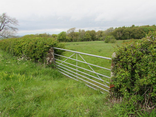
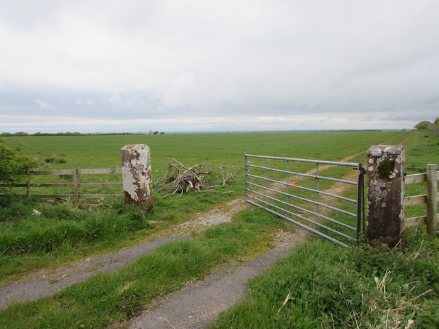
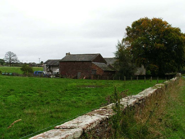
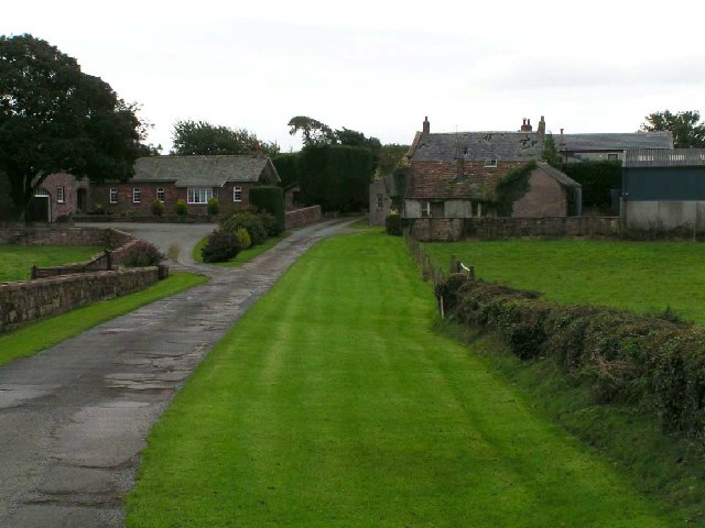
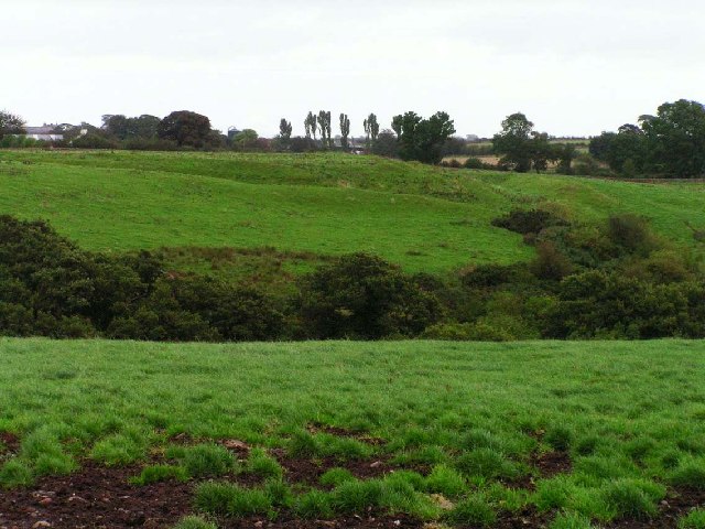
Beckbottom Images

Images are sourced within 2km of 54.801177/-3.1337952 or Grid Reference NY2745. Thanks to Geograph Open Source API. All images are credited.

Road junction at Highmoor Park Highmoor Park surrounded by iron railings has Syke Road to the left in this view and the B5305 road to Wigton to the right
Road junction at Highmoor Park
Highmoor Park surrounded by iron railings has Syke Road to the left in this view and the B5305 road to Wigton to the right
Old Milestone by the A595, north east of B5305 crossroads Metal plate attached to stone post by the A595, in parish of WESTWARD (ALLERDALE District), East of Street, junction with B5305, on grass verge, on North side of road. Carlisle red stone and curved plate, erected by the Cockermouth & Carlisle turnpike trust in the 19th century. 

Inscription reads:-
CARLISLE
10 MILES
COCKERMOUTH
15½ MILES

Grade II Listed. List Entry Number: 1327250 <span class="nowrap"><a title="https://historicengland.org.uk/listing/the-list/list-entry/1327250" rel="nofollow ugc noopener" href="https://historicengland.org.uk/listing/the-list/list-entry/1327250">Link</a><img style="margin-left:2px;" alt="External link" title="External link - shift click to open in new window" src="https://s1.geograph.org.uk/img/external.png" width="10" height="10"/></span>

Milestone Society National ID: CU_CLCM10
Old Milestone by the A595, north east of B5305 crossroads
Metal plate attached to stone post by the A595, in parish of WESTWARD (ALLERDALE District), East of Street, junction with B5305, on grass verge, on North side of road. Carlisle red stone and curved plate, erected by the Cockermouth & Carlisle turnpike trust in the 19th century. Inscription reads:- CARLISLE 10 MILES COCKERMOUTH 15½ MILES Grade II Listed. List Entry Number: 1327250 LinkExternal link Milestone Society National ID: CU_CLCM10
Direction Sign – Signpost northwest of Westward village Located on the south side of a junction further to the northwest of Westward. Westward parish. 3 arms and pawn finial. See also <a title="https://www.geograph.org.uk/photo/6110874" href="https://www.geograph.org.uk/photo/6110874">Link</a> and <span class="nowrap"><a title="http://www.geog.port.ac.uk/webmap/thelakes/photos/bvd83.jpg" rel="nofollow ugc noopener" href="http://www.geog.port.ac.uk/webmap/thelakes/photos/bvd83.jpg">Link</a><img style="margin-left:2px;" alt="External link" title="External link - shift click to open in new window" src="https://s1.geograph.org.uk/img/external.png" width="10" height="10"/></span>.

Milestone Society National ID: CU_NY2545
Direction Sign – Signpost northwest of Westward village
Located on the south side of a junction further to the northwest of Westward. Westward parish. 3 arms and pawn finial. See also Link and LinkExternal link. Milestone Society National ID: CU_NY2545
Direction Sign – Signpost south of Westward Located on the northeast side of the crossroads south of Westward. Westward parish. 4 arms and annulus finial. See also <span class="nowrap"><a title="http://www.geog.port.ac.uk/webmap/thelakes/photos/bvd81.jpg" rel="nofollow ugc noopener" href="http://www.geog.port.ac.uk/webmap/thelakes/photos/bvd81.jpg">Link</a><img style="margin-left:2px;" alt="External link" title="External link - shift click to open in new window" src="https://s1.geograph.org.uk/img/external.png" width="10" height="10"/></span>.

Milestone Society National ID: CU_NY2744
Direction Sign – Signpost south of Westward
Located on the northeast side of the crossroads south of Westward. Westward parish. 4 arms and annulus finial. See also LinkExternal link. Milestone Society National ID: CU_NY2744
Direction Sign – Signpost north of Westward village Located on the north side of the junction north of the village. Westward parish. 3 arms and pawn finial.

Milestone Society National ID: CU_NY2745
Direction Sign – Signpost north of Westward village
Located on the north side of the junction north of the village. Westward parish. 3 arms and pawn finial. Milestone Society National ID: CU_NY2745
Fields at sunset Hay bales taken from Warblebank
Fields at sunset
Hay bales taken from Warblebank
Farmland, Westward Muddy arable land and a view across the valley of Speet Gill.
Farmland, Westward
Muddy arable land and a view across the valley of Speet Gill.
B5305 at Warblebank
B5305 at Warblebank
B5305 at Greenrigg Farm entrance
B5305 nearing the A595 junction
Gate into field near Westward
Farm track to Westward Park
Bank Farm, near Wigton The red colour is a feature of the Triassic sandstone used locally for virtually all buildings more than a few decades old.
Bank Farm, near Wigton
The red colour is a feature of the Triassic sandstone used locally for virtually all buildings more than a few decades old.
Mire Cottage and Croft House For some reason, Croft House Farm, on the right is not mentioned by name on the OS Maps.
Mire Cottage and Croft House
For some reason, Croft House Farm, on the right is not mentioned by name on the OS Maps.
Roman Fort, Wigton The earthworks in the middle distance are part of a large Roman Fort.
Roman Fort, Wigton
The earthworks in the middle distance are part of a large Roman Fort.
Wiza Beck Taken at Kodge Bridge.
Wiza Beck
Taken at Kodge Bridge.
Wiza Beck looking downstream from Church Hill Road
Wiza Beck
looking downstream from Church Hill Road
Westward Parish Room Built by subscription in 1828. The adjoining building was probably the school.
Westward Parish Room
Built by subscription in 1828. The adjoining building was probably the school.
Show me another place!

Beckbottom is located at Grid Ref: NY2745 (Lat: 54.801177, Lng: -3.1337952)

Administrative County: Cumbria

District: Allerdale

Police Authority: Cumbria

What 3 Words

///shrimp.parked.hulk. Near Wigton, Cumbria

Nearby Locations

Beckbottom

Related Wikis

Westward, Cumbria

Westward is a small village and civil parish in the English county of Cumbria. It had a population of 814, at the 2001 census, increasing slightly to 838...

Old Carlisle

Old Carlisle is a village in the civil parish of Westward in the Allerdale district of Cumbria, England. It is located by the River Waver, and was originally...

Brackenlands

Brackenlands is an area of Wigton in Cumbria, England.

Brackenthwaite, Westward

Brackenthwaite is a settlement situated some 3 miles (4.8 km) south-east of the town of Wigton in the English county of Cumbria. It should not be confused...

Bolton Wood Lane

Bolton Wood Lane is a hamlet in Cumbria, England. It is located 3.1 miles (5.0 km) by road to the southwest of South End, to the east of Bolton Low Houses...

The Nelson Thomlinson School

The Nelson Thomlinson School is a comprehensive secondary school located in the market town of Wigton, Cumbria, England. The school's motto is the Latin...

Wigton

Wigton is a market town in Cumberland, Cumbria, England. It lies just outside the Lake District. Wigton is at the centre of the Solway Plain, between the...

Bolton New Houses

Bolton New Houses is a hamlet in Cumbria, England. Historically a part of Cumberland, it is located 3.1 miles (5.0 km) by the road to the southwest of...

Nearby Amenities

Located within 500m of 54.801177,-3.1337952
Beckbottom
Place: locality
Lat/Long: 54.8022157/-3.1337582
Power: pole
Lat/Long: 54.8018821/-3.1412715
Power: pole
Lat/Long: 54.8026092/-3.1411157
Power: pole
Lat/Long: 54.8016702/-3.1390694
Power: pole
Lat/Long: 54.8014696/-3.1369928
Power: pole
Lat/Long: 54.801282/-3.1350285
Power: pole
Lat/Long: 54.8010847/-3.1330081
Power: pole
Lat/Long: 54.800897/-3.1310817
Power: pole
Lat/Long: 54.8007215/-3.129391
Power: pole
Lat/Long: 54.8005598/-3.1276554
Power: pole
Lat/Long: 54.8004037/-3.1261134
The data included in this document is from www.openstreetmap.org. The data is made available under ODbL.

Have you been to Beckbottom?

Leave your review of Beckbottom below (or comments, questions and feedback).