Beck Wythop
Settlement in Cumberland Allerdale
England
Beck Wythop
Beck Wythop is a small hamlet located in the district of Allerdale, in the county of Cumberland, England. Situated in the heart of the Lake District National Park, Beck Wythop is surrounded by breathtaking natural beauty and offers a tranquil escape from the bustling city life.
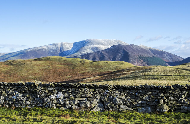
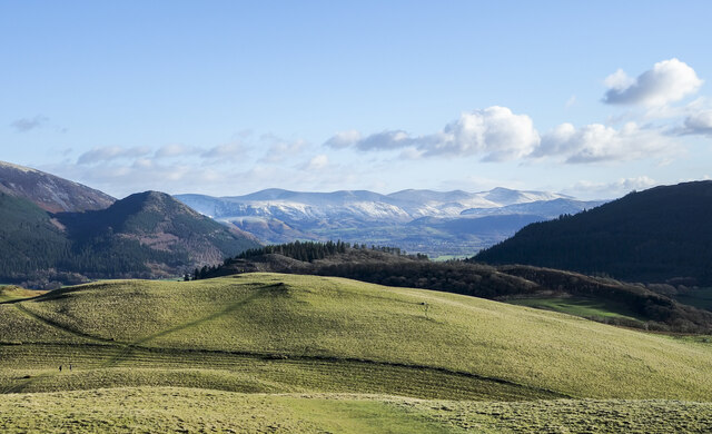
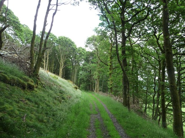
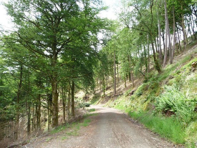
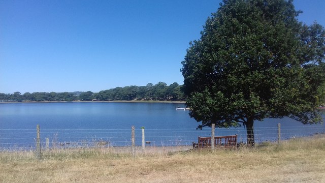
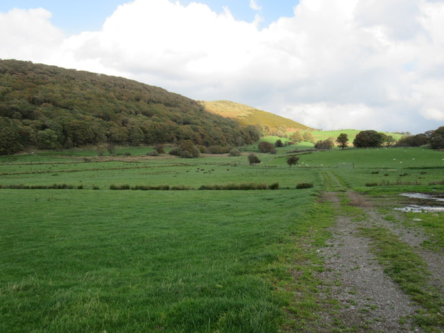
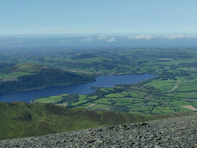
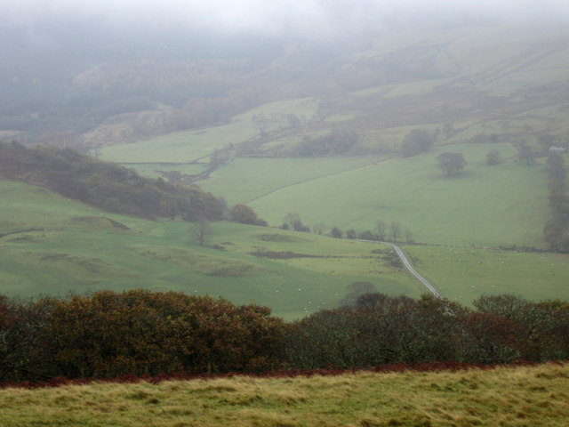
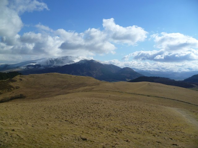
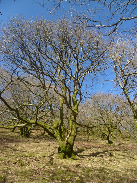
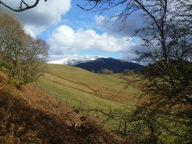
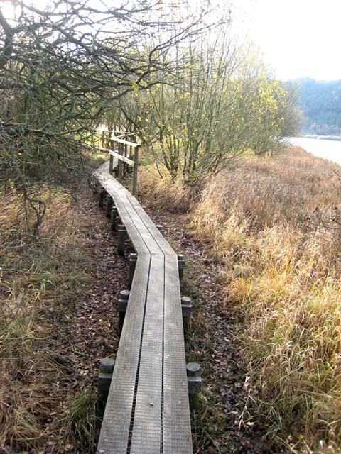
The hamlet is nestled in the picturesque Wythop Valley, near the beck (stream) that gives the village its name. With its idyllic setting of rolling hills, dense woodlands, and meandering waterways, Beck Wythop is a haven for nature lovers, hikers, and outdoor enthusiasts.
The village itself is a collection of traditional stone cottages, many dating back to the 18th century. The architecture reflects the rural charm of the Lake District, with slate roofs and rustic aesthetics. Despite its small size, Beck Wythop boasts a close-knit community that takes pride in maintaining its historic character.
One of the key attractions in the area is Wythop Church, a beautiful 12th-century parish church that stands as a testament to the village's long-standing heritage. The church features stunning stained glass windows and a peaceful graveyard, providing a sense of serenity and a glimpse into the past.
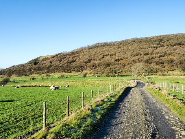
For those seeking outdoor adventure, Beck Wythop offers easy access to a network of walking trails, including the nearby Whinlatter Forest Park. This park offers a range of activities such as mountain biking, wildlife spotting, and scenic walks, making it a popular destination for visitors.
In conclusion, Beck Wythop is a charming and picturesque hamlet in the heart of the Lake District. With its natural beauty, historic architecture, and access to outdoor activities, this tranquil village is a hidden gem for those looking to escape the hustle and bustle of modern life.
If you have any feedback on the listing, please let us know in the comments section below.
Beck Wythop Images
Images are sourced within 2km of 54.64453/-3.2198993 or Grid Reference NY2128. Thanks to Geograph Open Source API. All images are credited.
Beck Wythop is located at Grid Ref: NY2128 (Lat: 54.64453, Lng: -3.2198993)
Administrative County: Cumbria
District: Allerdale
Police Authority: Cumbria
What 3 Words
///highlighted.enormous.executive. Near Keswick, Cumbria
Nearby Locations
Related Wikis

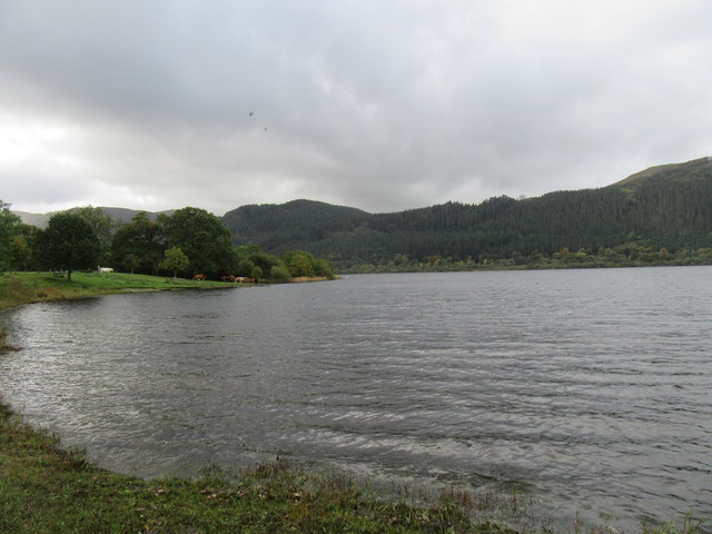
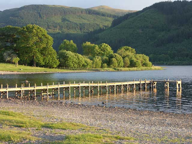
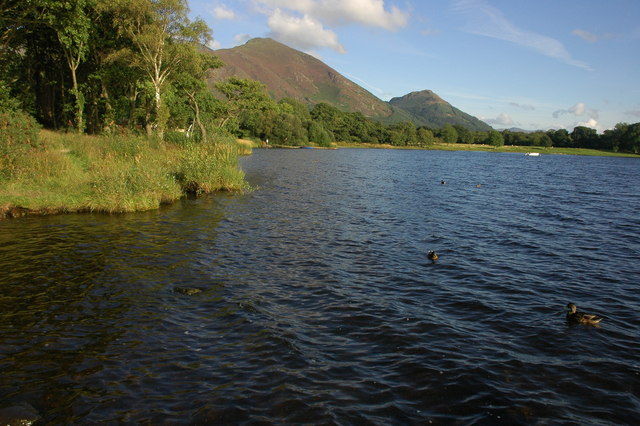
Bassenthwaite Lake
Bassenthwaite Lake is a body of water in the Lake District in North West England, near the town of Keswick. It has an area of 5.3 km2 (2.0 sq mi), making...

Barf (Lake District)
Barf is a fell in the north-western Lake District in Cumbria, UK. It stands on the south-western shore of Bassenthwaite Lake. Barf is well known for a...

Mirehouse
Mirehouse is a 17th-century house to the north of Keswick in Cumbria, at the foot of Dodd, near Bassenthwaite Lake and St Bega's Church, on the A591 road...

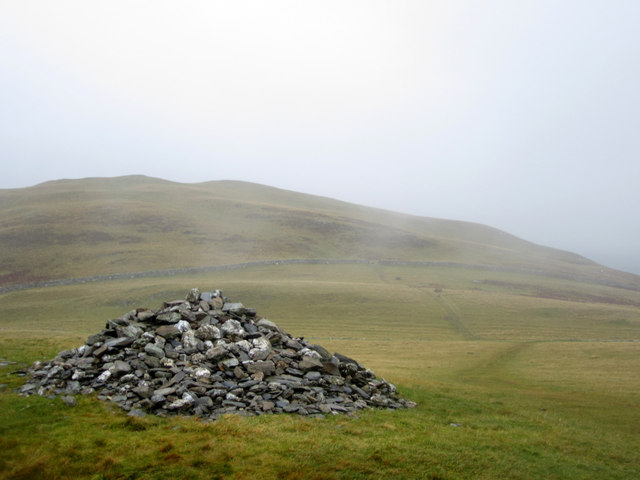
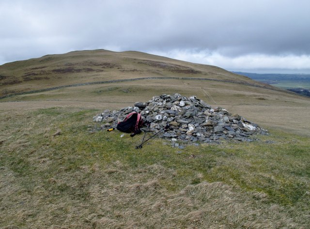
Lord's Seat
Lord's Seat is a fell in the English Lake District. It is the highest of the group of hills north of Whinlatter Pass in the North Western Fells. The slopes...

Sale Fell
Sale Fell is a small hill near Cockermouth in the English Lake District. It is popular with locals, as it offers gentle walking and lovely views across...

Newlands Beck
Newlands Beck is a minor river of Cumbria in England. The beck rises on Dale Head and flows northwards through the picturesque Newlands Valley, past the...

Little Crosthwaite
Little Crosthwaite is a hamlet in the Borough of Allerdale in the English county of Cumbria. It forms part of the civil parish of Underskiddaw. Little...

Broom Fell
Broom Fell is a small hill in the English Lake District. It lies on a ridge connecting Lord's Seat and Graystones, but is rarely climbed. Alfred Wainwright...
Nearby Amenities
Located within 500m of 54.64453,-3.2198993Have you been to Beck Wythop?
Leave your review of Beck Wythop below (or comments, questions and feedback).