King's Wood

Wood, Forest in Cumberland Allerdale

England

King's Wood

Bridleway in Chapel Wood Heading north-east.
Bridleway in Chapel Wood Credit: Christine Johnstone

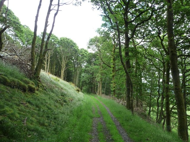
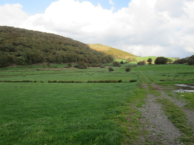
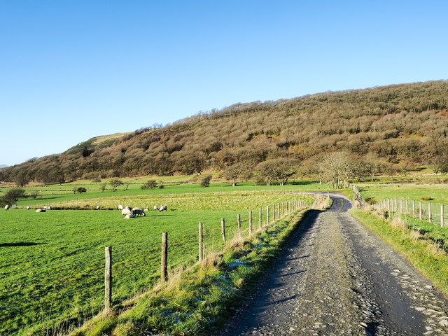
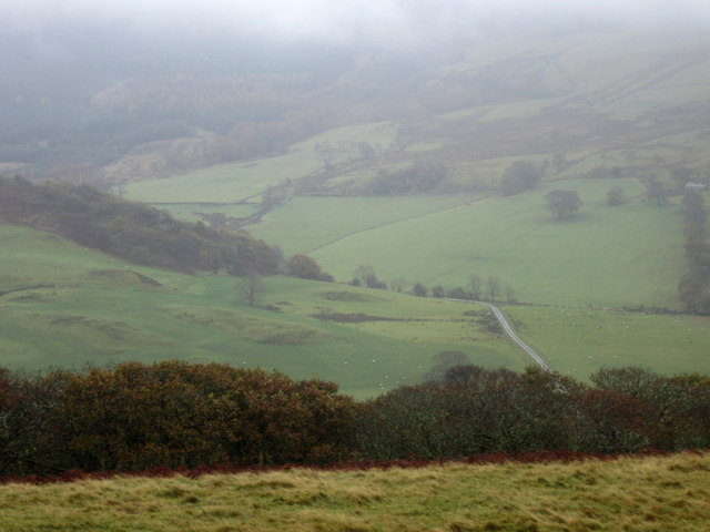
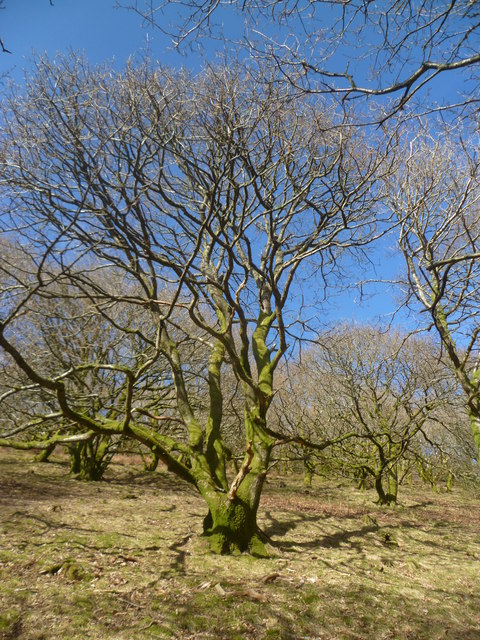
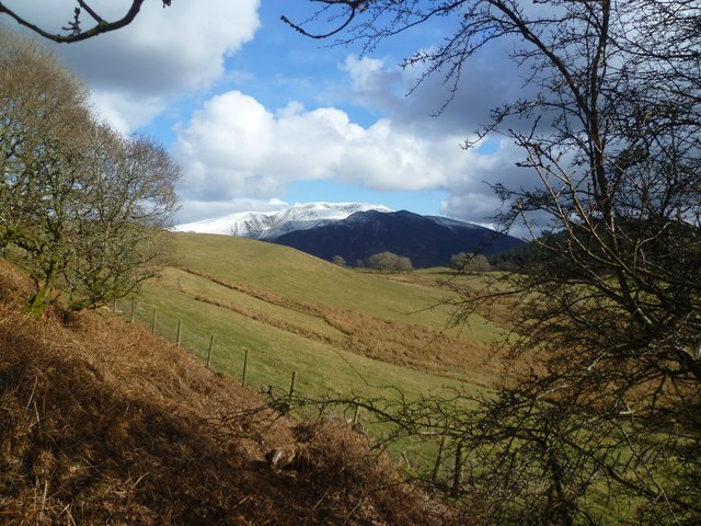
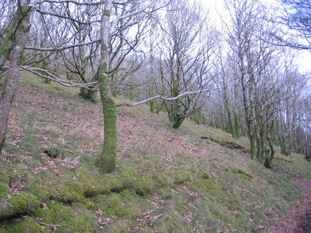
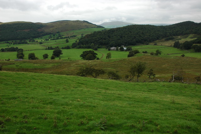
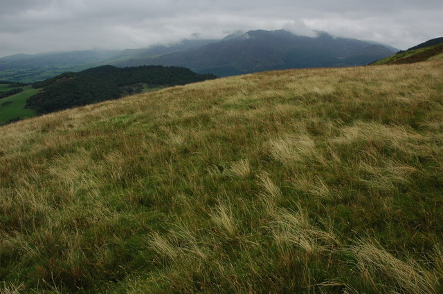
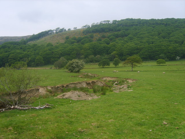
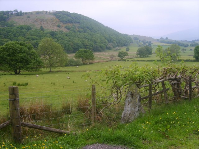
King's Wood, Cumberland, also known simply as King's Wood, is a picturesque forest located in the county of Cumberland in northwest England. Spanning over 2,000 acres, it is one of the largest woodlands in the region and is managed by the Forestry Commission.

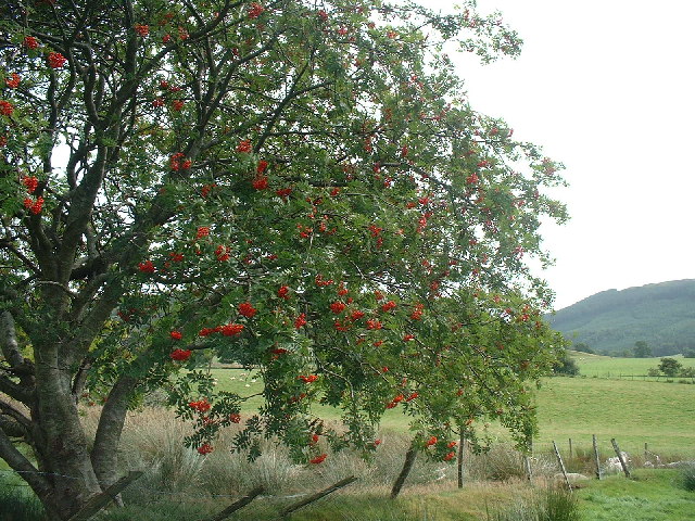
The forest boasts a diverse range of tree species, including oak, beech, birch, and ash, creating a rich and vibrant landscape throughout the year. These trees provide a sanctuary for a variety of wildlife, such as red squirrels, roe deer, and a plethora of bird species, making it a popular destination for nature enthusiasts and birdwatchers.

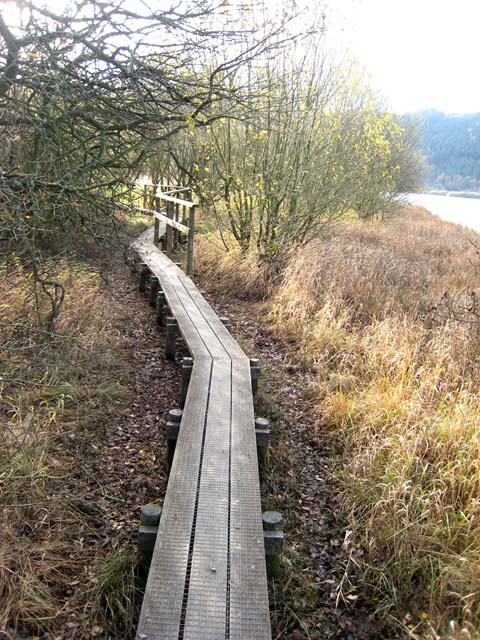
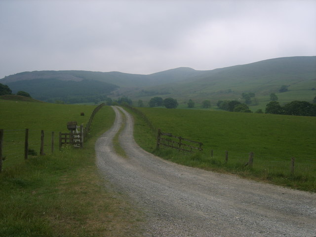
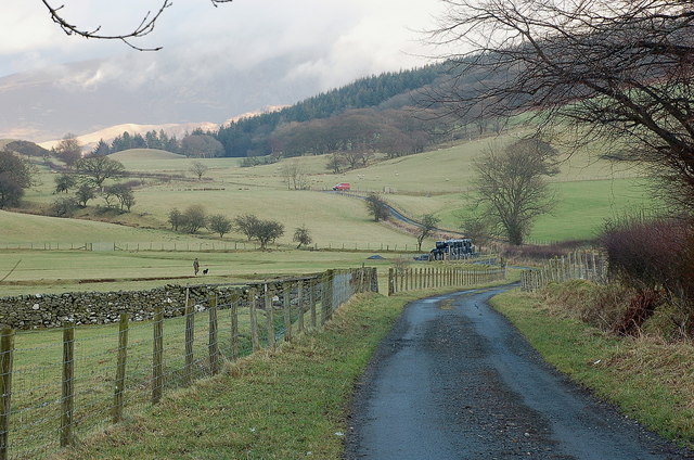
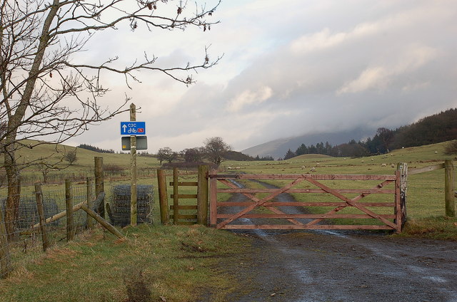
King's Wood offers an extensive network of trails and paths that wind through the forest, allowing visitors to explore its natural beauty at their own pace. These trails range from easy strolls to more challenging hikes, catering to all levels of fitness and experience. Additionally, the forest is equipped with informative signposts and interpretation boards, providing educational opportunities for both adults and children.

The wood is also home to several historical landmarks, including the ruins of an ancient Roman fort, which dates back to the 2nd century AD. This fort, known as Bewcastle, offers a glimpse into the area's rich history and provides a fascinating insight into the Roman occupation of Britain.

Overall, King's Wood, Cumberland is a captivating destination for nature lovers, history enthusiasts, and those seeking tranquility amidst the natural beauty of the Cumberland countryside.

If you have any feedback on the listing, please let us know in the comments section below.
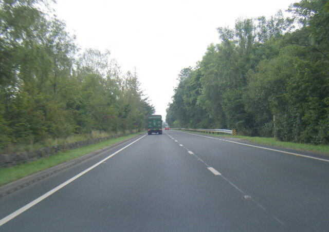
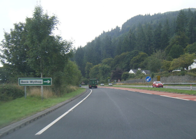
King's Wood Images

Images are sourced within 2km of 54.642307/-3.2201582 or Grid Reference NY2128. Thanks to Geograph Open Source API. All images are credited.

Bridleway in Chapel Wood Heading north-east.
Bridleway in Chapel Wood
Heading north-east.
Wythop Valley Near Old Scales.
Wythop Valley
Near Old Scales.
Farm access road for Wythop Hall The road is approaching a bend where a public road appears to end. The leafless trees on the slope beyond are those of Chapel Wood which is on the southern side of Sale Fell.
Farm access road for Wythop Hall
The road is approaching a bend where a public road appears to end. The leafless trees on the slope beyond are those of Chapel Wood which is on the southern side of Sale Fell.
View into Wythop Valley Looking from a subsidiary top of Sale Fell to the south into Wythop Valley.
View into Wythop Valley
Looking from a subsidiary top of Sale Fell to the south into Wythop Valley.
In Chapel Wood Pleasant native woodland in the Wythop Valley
In Chapel Wood
Pleasant native woodland in the Wythop Valley
In Chapel Wood At the woodland edge peering towards a snow capped Skiddaw
In Chapel Wood
At the woodland edge peering towards a snow capped Skiddaw
Boardwalk near Scarness Boardwalk avoiding a boggy stretch of path along the shore of Bassenthwaite Lake. Part of the 80-km Allerdale Ramble, a long-distance path.
Boardwalk near Scarness
Boardwalk avoiding a boggy stretch of path along the shore of Bassenthwaite Lake. Part of the 80-km Allerdale Ramble, a long-distance path.
Rowan at Wythop The head of Wythop Vale gentle farmland and quiet lanes. The Rowan stands near the wood at Kelswick
Rowan at Wythop
The head of Wythop Vale gentle farmland and quiet lanes. The Rowan stands near the wood at Kelswick
Chapel Wood. It appears to be a very old oak wood with lots of moss that thrives in the shade of the summer leaves and winter light as well.
Chapel Wood.
It appears to be a very old oak wood with lots of moss that thrives in the shade of the summer leaves and winter light as well.
Wythop Valley View across the Wythop Valley with the farm at Wyhop Hall in the centre. On the far horizon is the lakeland outlier, Binsey.
Wythop Valley
View across the Wythop Valley with the farm at Wyhop Hall in the centre. On the far horizon is the lakeland outlier, Binsey.
Northern slopes of Broom Fell View to the east from the northern slopes of Broom Fell, in the middle distance is Wythop Woods and Ladies Table, beyond this and on the other side of Bassenthwaite Lake is Ullock Pike and Longside Edge, part of the Skiddaw range of fells.
Northern slopes of Broom Fell
View to the east from the northern slopes of Broom Fell, in the middle distance is Wythop Woods and Ladies Table, beyond this and on the other side of Bassenthwaite Lake is Ullock Pike and Longside Edge, part of the Skiddaw range of fells.
Road to Wythop Hall Lord's Seat on the skyline
Road to Wythop Hall
Lord's Seat on the skyline
Wythop Beck Meandering under Chapel Wood
Wythop Beck
Meandering under Chapel Wood
Gatepost and Ash Old redundant stone post in the hedge line with layered Ash near Old Scales
Gatepost and Ash
Old redundant stone post in the hedge line with layered Ash near Old Scales
In the Wythop valley Just past Old Scale farm, looking up to the edge of the cultivated land and Wythop Woods.
In the Wythop valley
Just past Old Scale farm, looking up to the edge of the cultivated land and Wythop Woods.
Gate on National cycle route 71 Cycle route 71 'C2C' (Whitehaven - Sunderland) takes this farm track on the way over to descend to Bassenthwaite Lake.
Gate on National cycle route 71
Cycle route 71 'C2C' (Whitehaven - Sunderland) takes this farm track on the way over to descend to Bassenthwaite Lake.
A66 at Smithy Green
A66 at Smithy Green
A66 at Beck Wythop
A66 at Beck Wythop
Show me another place!

King's Wood is located at Grid Ref: NY2128 (Lat: 54.642307, Lng: -3.2201582)

Administrative County: Cumbria

District: Allerdale

Police Authority: Cumbria

What 3 Words

///digesting.skip.cuter. Near Keswick, Cumbria

Nearby Locations

Beck Wythop King's Wood

Related Wikis

Bassenthwaite Lake

Bassenthwaite Lake is a body of water in the Lake District in North West England, near the town of Keswick. It has an area of 5.3 km2 (2.0 sq mi), making...

Barf (Lake District)

Barf is a fell in the north-western Lake District in Cumbria, UK. It stands on the south-western shore of Bassenthwaite Lake. Barf is well known for a...

Mirehouse

Mirehouse is a 17th-century house to the north of Keswick in Cumbria, at the foot of Dodd, near Bassenthwaite Lake and St Bega's Church, on the A591 road...

Lord's Seat

Lord's Seat is a fell in the English Lake District. It is the highest of the group of hills north of Whinlatter Pass in the North Western Fells. The slopes...

Newlands Beck

Newlands Beck is a minor river of Cumbria in England. The beck rises on Dale Head and flows northwards through the picturesque Newlands Valley, past the...

Broom Fell

Broom Fell is a small hill in the English Lake District. It lies on a ridge connecting Lord's Seat and Graystones, but is rarely climbed. Alfred Wainwright...

Little Crosthwaite

Little Crosthwaite is a hamlet in the Borough of Allerdale in the English county of Cumbria. It forms part of the civil parish of Underskiddaw. Little...

Sale Fell

Sale Fell is a small hill near Cockermouth in the English Lake District. It is popular with locals, as it offers gentle walking and lovely views across...

Nearby Amenities

Located within 500m of 54.642307,-3.2201582
Waterway: waterfall
Lat/Long: 54.6422275/-3.2234355
Parking
Fee: no
Park Ride: no
Parking: lane
Supervised: no
Surface: asphalt
Lat/Long: 54.6466117/-3.2186487
Kings Wood
Place: locality
Lat/Long: 54.6390308/-3.2150376
Beck Wythop
Place: hamlet
Lat/Long: 54.6447061/-3.219479
Give Way
Direction: backward
Lat/Long: 54.6437938/-3.2181573
Woodend Brow
Place: locality
Lat/Long: 54.6385412/-3.2203754
King's Wood
Natural: wood
Lat/Long: 54.6426017/-3.2219419
The data included in this document is from www.openstreetmap.org. The data is made available under ODbL.

Have you been to King's Wood?

Leave your review of King's Wood below (or comments, questions and feedback).