Beck
Settlement in Cumberland Copeland
England
Beck
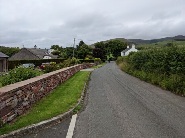
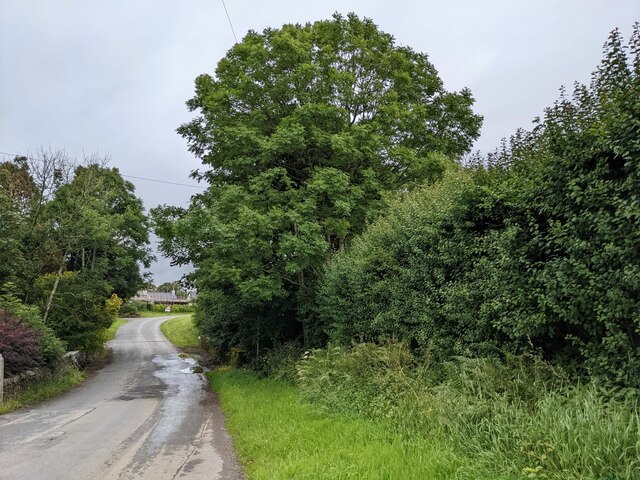
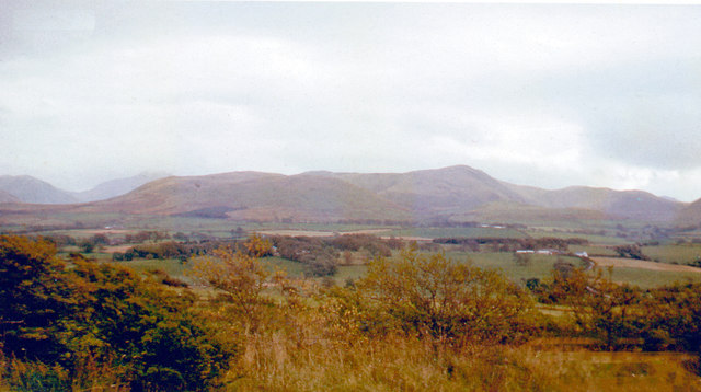
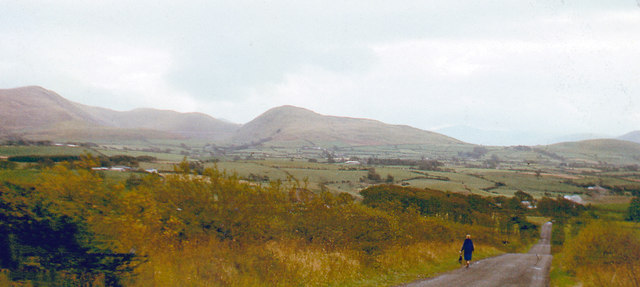
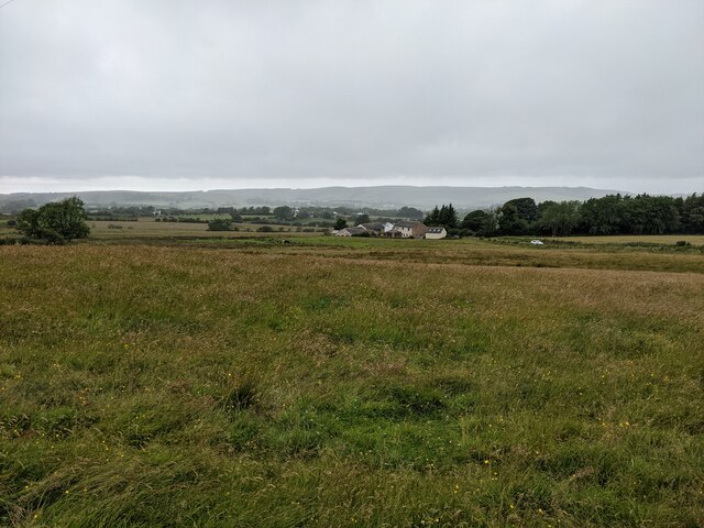
Beck, Cumberland is a small village located in the county of Cumbria, England. Situated in the northern part of the Lake District National Park, it is nestled amidst picturesque landscapes and offers stunning views of the surrounding mountains and valleys. The village is situated about 5 miles northwest of the market town of Cockermouth.
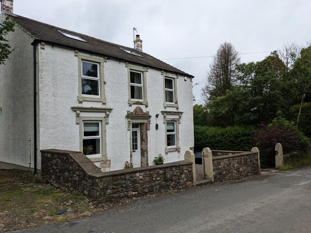
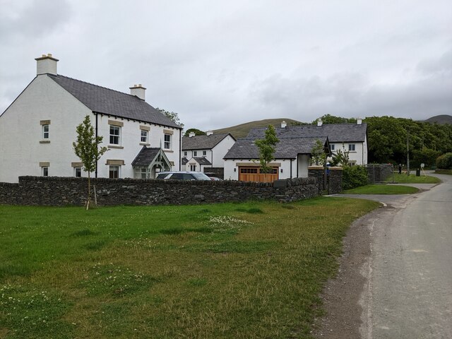
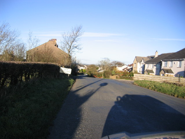
Beck is known for its tranquil ambiance and charming rural character. It is predominantly a residential area with a small population, making it an ideal destination for those seeking a peaceful retreat away from the hustle and bustle of city life. The village is characterized by traditional stone houses and cottages, adding to its quaint and idyllic charm.
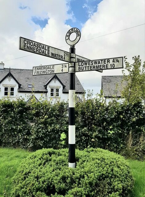
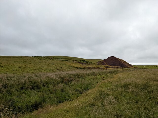
One of the main attractions in Beck is the nearby Loweswater Lake, which lies just to the south of the village. This tranquil lake is popular among both locals and tourists for its serene atmosphere and scenic beauty. It offers opportunities for various outdoor activities such as fishing, walking, and boating.
Although Beck itself is a relatively quiet village, it is conveniently located within close proximity to a range of amenities. The nearby town of Cockermouth provides residents with access to shops, supermarkets, schools, and other essential services.
Overall, Beck, Cumberland is a peaceful and picturesque village that attracts visitors with its natural beauty and tranquil setting. It offers a perfect blend of rural charm and easy access to modern amenities, making it an attractive place to live or visit for those seeking a peaceful and scenic retreat.
If you have any feedback on the listing, please let us know in the comments section below.
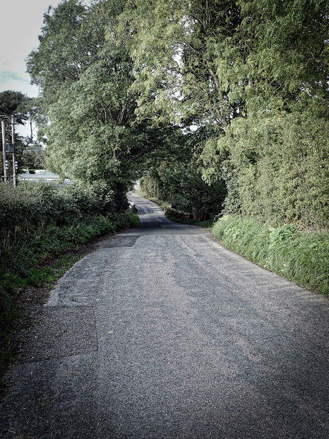
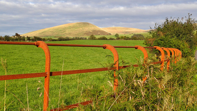
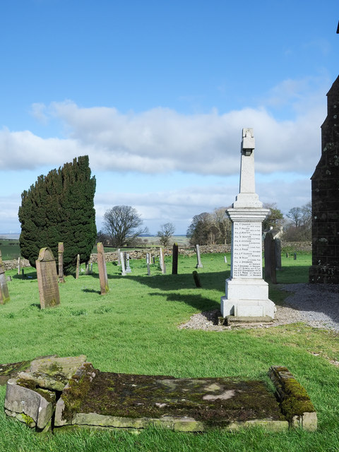
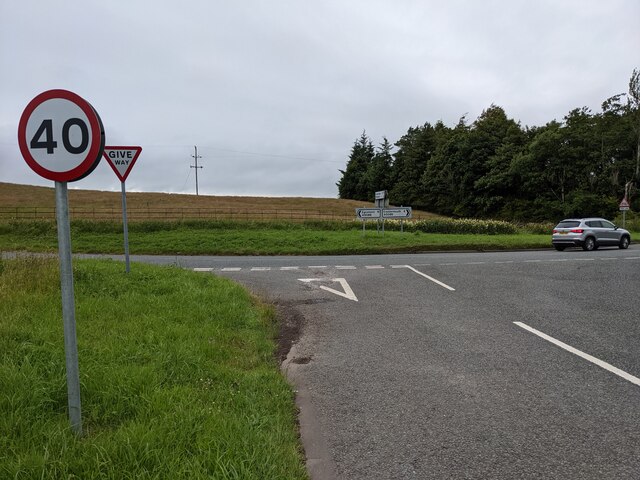
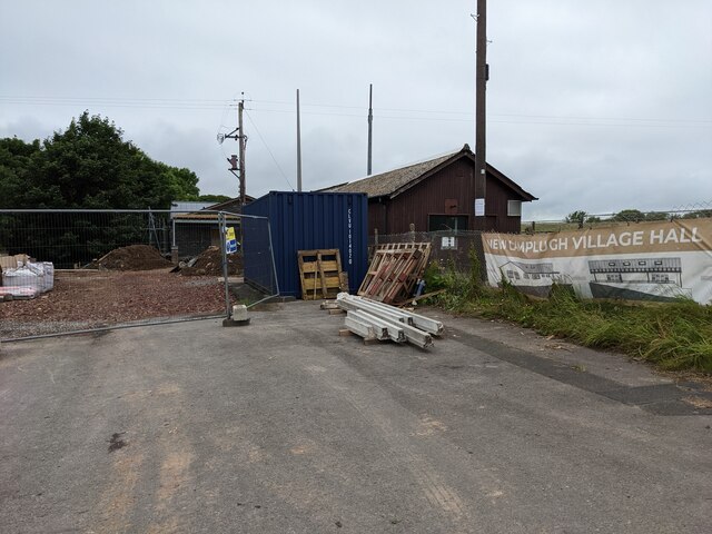
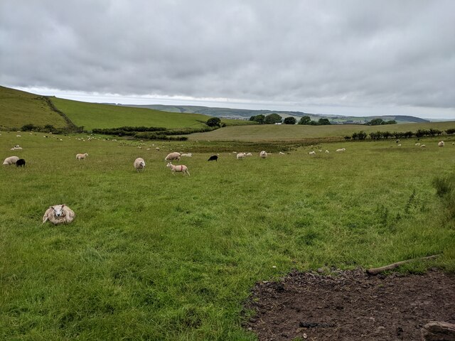
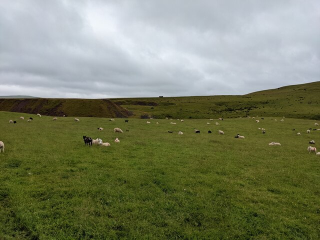
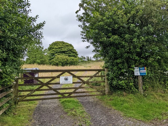
Beck Images
Images are sourced within 2km of 54.566848/-3.4294971 or Grid Reference NY0720. Thanks to Geograph Open Source API. All images are credited.
Beck is located at Grid Ref: NY0720 (Lat: 54.566848, Lng: -3.4294971)
Administrative County: Cumbria
District: Copeland
Police Authority: Cumbria
What 3 Words
///wildfires.balloons.hedgehog. Near Frizington, Cumbria
Nearby Locations
Related Wikis

Crossgates, Cumbria
Crossgates is a hamlet in Cumbria, England. It is located just to the northeast of Asby. == References ==

Kelton Head
Kelton Head is a hamlet in Cumbria, England. It has just four houses, and is very close to Kelton Head Quarry, near Rowrah. Despite this, it is in the...

St Michael, Lamplugh
St Michael is in Lamplugh, Cumbria, England. It is an active Anglican parish church in the deanery of Calder, and the diocese of Carlisle. Its benefice...
Lamplugh
Lamplugh () is a scattered community and civil parish located in West Cumbria on the edge of the English Lake District and historically part of Cumberland...
Asby, Copeland
Asby is a village in Cumbria, England, historically part of Cumberland, near the Lake District National Park. == Location == It lies by road 7.5 miles...

Cogra Moss
Cogra Moss is a shallow reservoir to the east of the village of Lamplugh on the western edge of the English Lake District. It was created by the damming...
Lamplugh railway station
Lamplugh railway station was built by the Whitehaven, Cleator and Egremont Railway. It served the scattered community of Lamplugh, Cumbria, England....
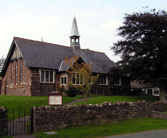
Kirkland Mission Church
Kirkland Mission Church is an Anglican church in Kirkland, in Cumbria in northern England. It falls within the deanery of Calder and the diocese of Carlisle...
Nearby Amenities
Located within 500m of 54.566848,-3.4294971Have you been to Beck?
Leave your review of Beck below (or comments, questions and feedback).