Millgillhead
Settlement in Cumberland Copeland
England
Millgillhead
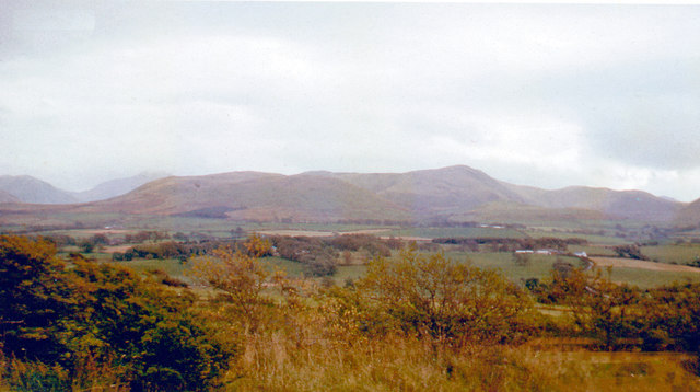
Millgillhead is a small village located in the county of Cumberland, in the northwestern part of England. Situated amidst the picturesque landscapes of the Lake District National Park, this charming settlement is known for its natural beauty and tranquil atmosphere.
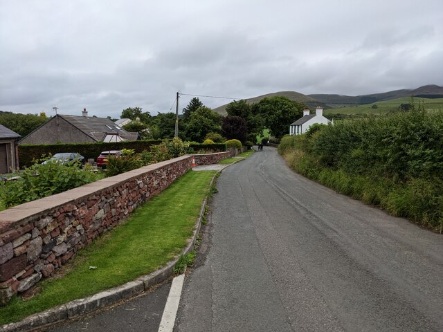
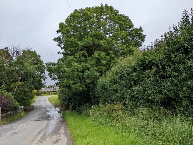
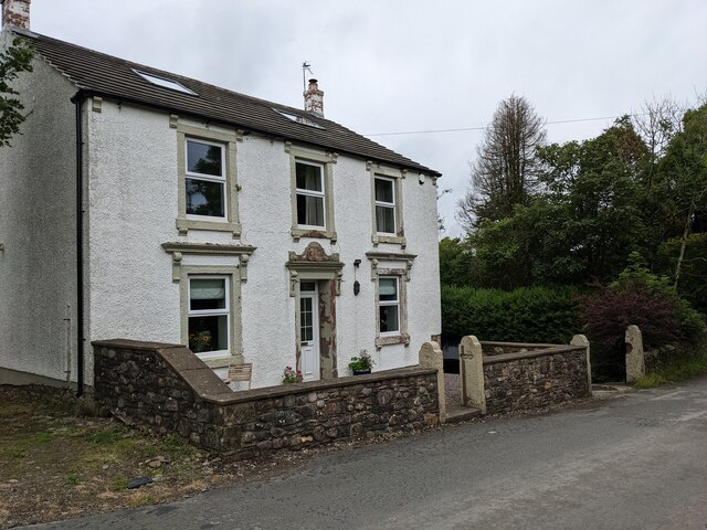
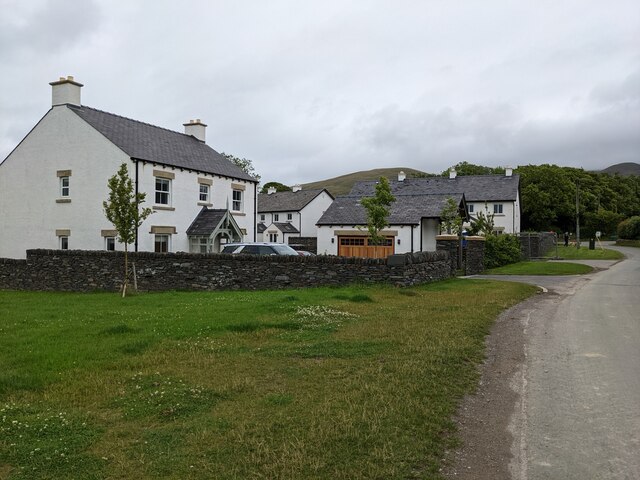
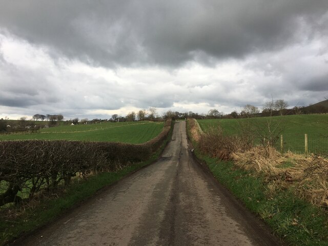
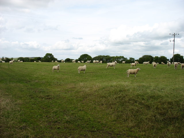
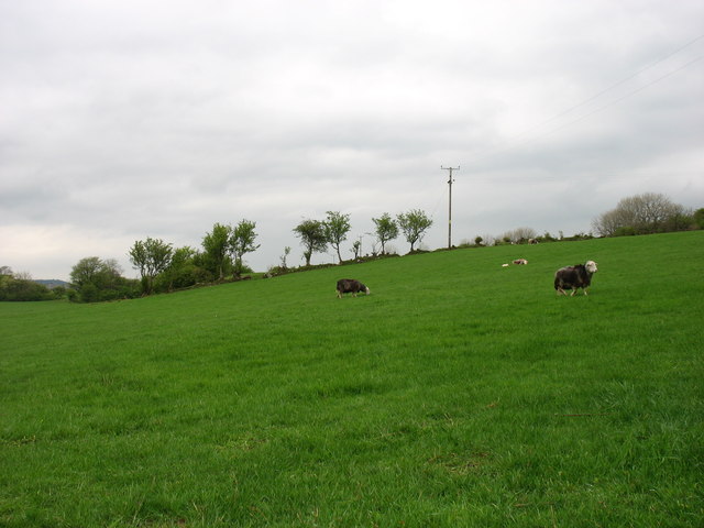
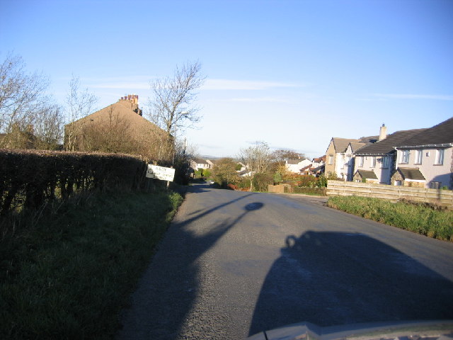
The village is nestled in a valley, surrounded by rolling hills and lush green fields. It is dotted with traditional stone cottages, which lend a timeless and idyllic charm to the area. Millgillhead is home to a close-knit community, comprising mainly of local residents who have lived here for generations.
The focal point of the village is the Millgillhead Church, a historic place of worship that dates back several centuries. Its architectural features showcase a mix of different styles, reflecting the evolving nature of the village over time. The church serves as a gathering place for religious ceremonies, as well as community events.
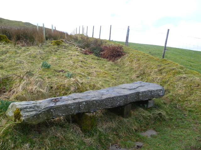
Nature enthusiasts are drawn to Millgillhead for its proximity to the Lake District National Park, which offers a plethora of outdoor activities. Visitors can explore the nearby hiking trails, go fishing in the pristine lakes, or simply enjoy the breathtaking views of the surrounding mountains and valleys.
Though Millgillhead is a small village, it offers a few amenities to its residents and visitors. There is a local pub where locals gather for a pint and friendly conversation, and a small convenience store that caters to basic needs.
Overall, Millgillhead is a hidden gem in the heart of Cumberland, offering a peaceful retreat for those seeking the tranquility of rural England.
If you have any feedback on the listing, please let us know in the comments section below.
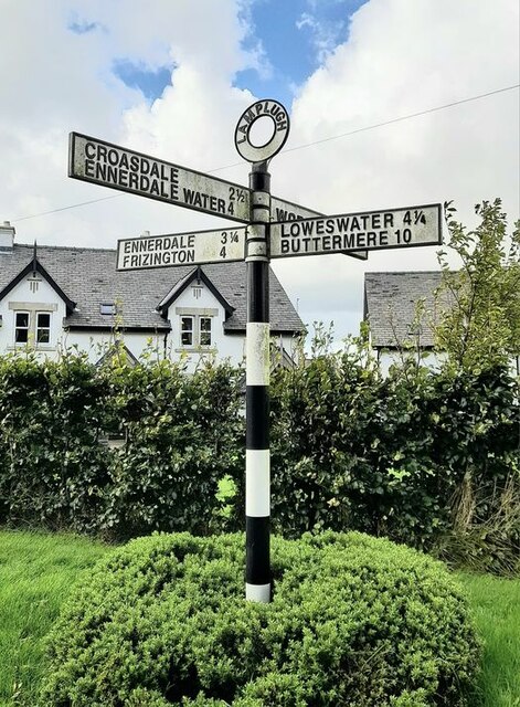
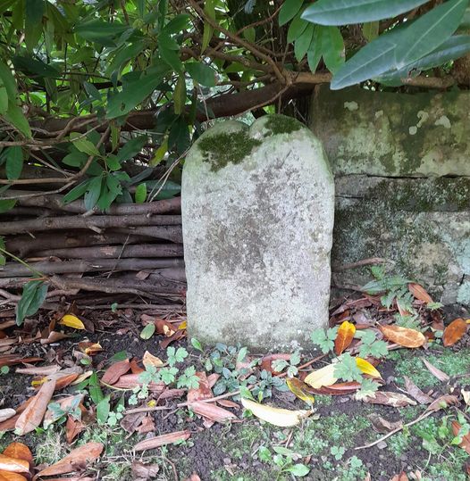
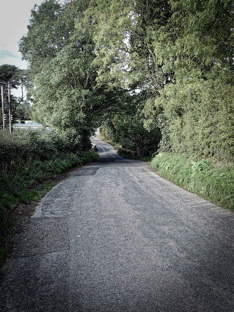
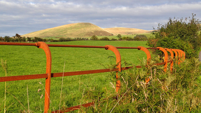
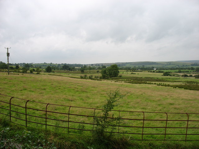
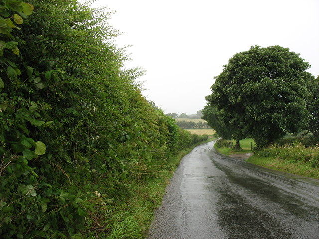
Millgillhead Images
Images are sourced within 2km of 54.566644/-3.4398996 or Grid Reference NY0720. Thanks to Geograph Open Source API. All images are credited.


Millgillhead is located at Grid Ref: NY0720 (Lat: 54.566644, Lng: -3.4398996)
Administrative County: Cumbria
District: Copeland
Police Authority: Cumbria
What 3 Words
///sponge.stood.confident. Near Frizington, Cumbria
Nearby Locations
Related Wikis
Asby, Copeland
Asby is a village in Cumbria, England, historically part of Cumberland, near the Lake District National Park. == Location == It lies by road 7.5 miles...

Kelton Head
Kelton Head is a hamlet in Cumbria, England. It has just four houses, and is very close to Kelton Head Quarry, near Rowrah. Despite this, it is in the...

Crossgates, Cumbria
Crossgates is a hamlet in Cumbria, England. It is located just to the northeast of Asby. == References ==
Lamplugh railway station
Lamplugh railway station was built by the Whitehaven, Cleator and Egremont Railway. It served the scattered community of Lamplugh, Cumbria, England....
Nearby Amenities
Located within 500m of 54.566644,-3.4398996Have you been to Millgillhead?
Leave your review of Millgillhead below (or comments, questions and feedback).