Bathingbourne

Settlement in Hampshire

England

Bathingbourne

White Gate by the Cycleway A neat white painted wooden gate is beside the cycleway just here.
White Gate by the Cycleway Credit: Des Blenkinsopp

Bathingbourne is a picturesque village located in the county of Hampshire, England. Situated in the South Downs National Park, it offers residents and visitors a charming and tranquil setting surrounded by stunning natural beauty.

The village is known for its quaint cottages, many of which date back centuries, giving it a timeless and traditional feel. The architecture showcases a mix of styles, from thatched roofs to Georgian facades, adding to the village's unique character.

Bathingbourne is home to a small but close-knit community, fostering a warm and friendly atmosphere. The village boasts a few essential amenities, including a local pub, a village hall, and a primary school, making it an ideal place for families seeking a peaceful countryside lifestyle.

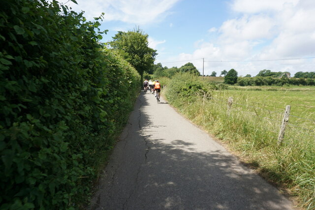
Nature enthusiasts will be delighted by the abundance of outdoor activities available in the area. The South Downs provide ample opportunities for hiking, cycling, and horseback riding, allowing visitors to immerse themselves in the breathtaking landscapes. Additionally, the village is conveniently located near the coast, offering easy access to beautiful beaches and coastal walks.

For those seeking cultural experiences, Bathingbourne is within a short driving distance of larger towns and cities, such as Winchester and Southampton. These urban centers provide a range of shopping, dining, and entertainment options, ensuring residents have access to modern conveniences while still enjoying the tranquility of village life.

Overall, Bathingbourne is a charming and idyllic village, offering a balance of natural beauty, community spirit, and convenient access to nearby amenities.

If you have any feedback on the listing, please let us know in the comments section below.

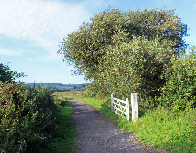
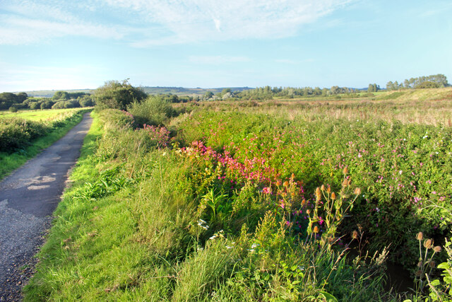
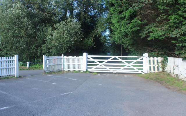
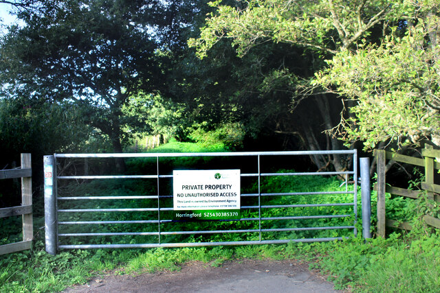
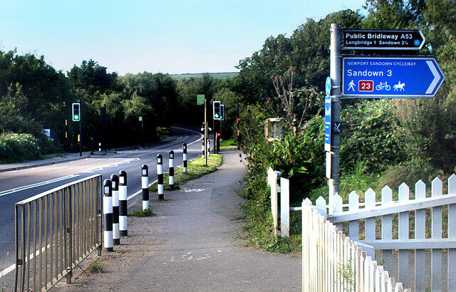
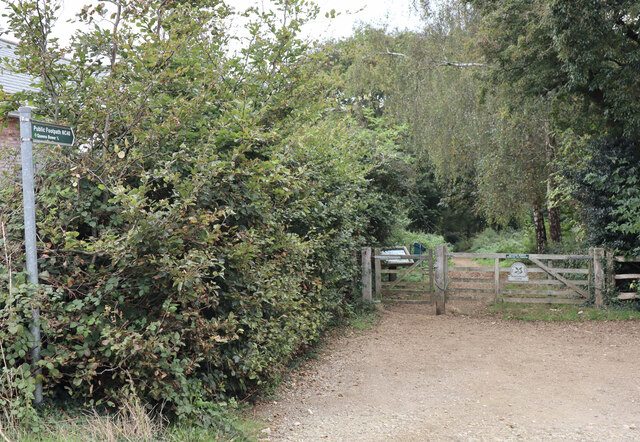
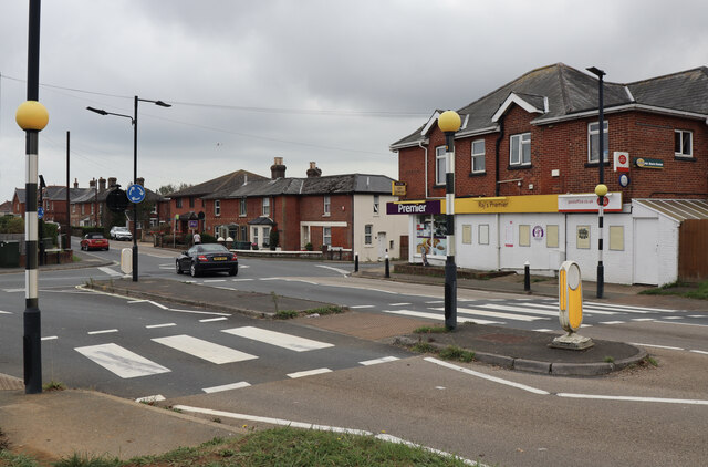
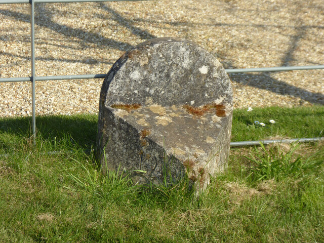
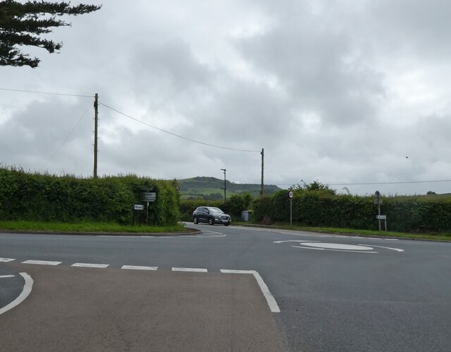
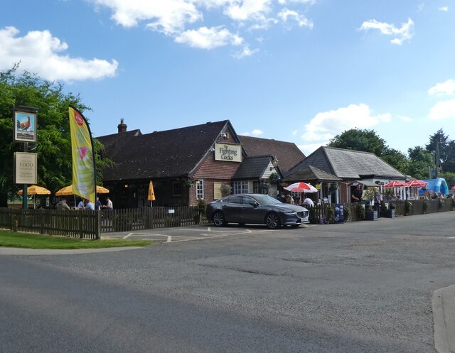
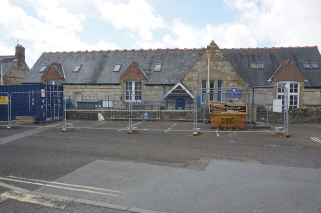
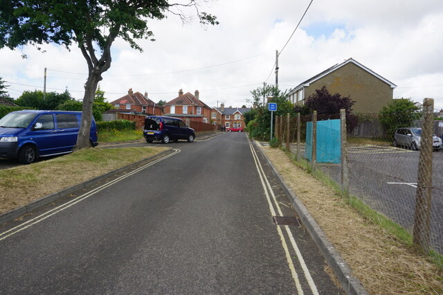
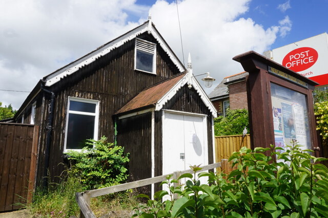
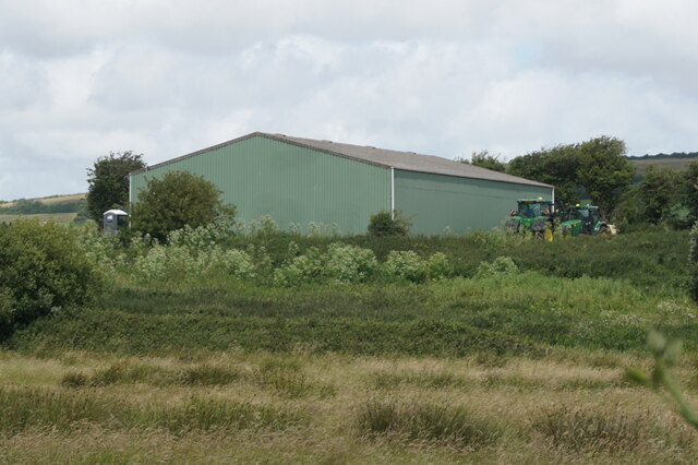
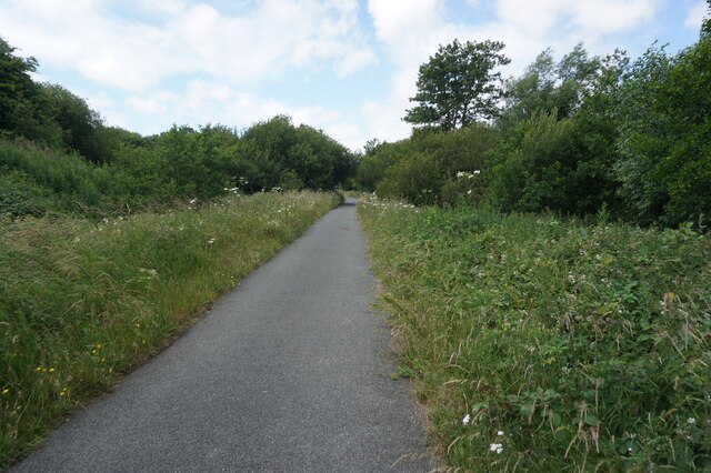
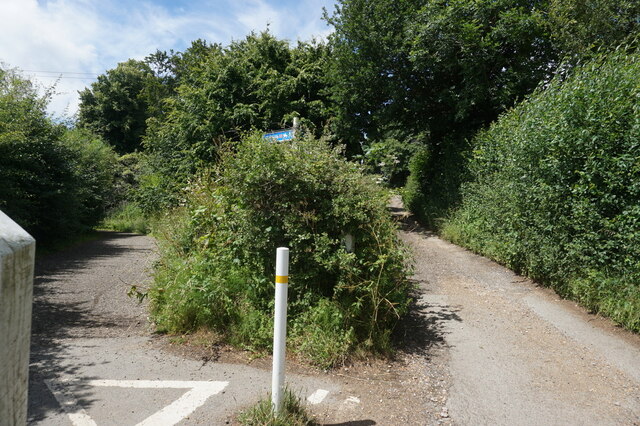
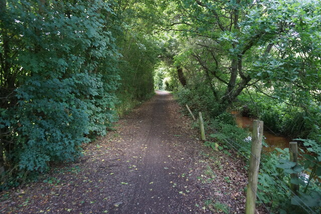
Bathingbourne Images

Images are sourced within 2km of 50.651738/-1.2239828 or Grid Reference SZ5483. Thanks to Geograph Open Source API. All images are credited.

White Gate by the Cycleway A neat white painted wooden gate is beside the cycleway just here.
White Gate by the Cycleway
A neat white painted wooden gate is beside the cycleway just here.
Flowers by the Path A stream flows beside the track along here, down in a deep ditch. Wild flowers grow along the bank beside the old railway line.
Flowers by the Path
A stream flows beside the track along here, down in a deep ditch. Wild flowers grow along the bank beside the old railway line.
Access to the Old Railway An old railway line used to cross the road here. It is now a path and cycleway and a small parking area has been made at the crossing.
Access to the Old Railway
An old railway line used to cross the road here. It is now a path and cycleway and a small parking area has been made at the crossing.
The Rail Track Ends Here For some reason the Environment Agency needs the couple of hundred metres of old railway trackbed between here and the road. The path which has been using it for some time is diverted off to the left.
The Rail Track Ends Here
For some reason the Environment Agency needs the couple of hundred metres of old railway trackbed between here and the road. The path which has been using it for some time is diverted off to the left.
Cycleway Crosses the Road A signal controlled road crossing has been put in where the Newport Sandown Cycleway crosses the A3056.
Cycleway Crosses the Road
A signal controlled road crossing has been put in where the Newport Sandown Cycleway crosses the A3056.
Western entrance to Borthwood Copse Off Alverstone Road, via Public Footpath NC40 to Queens Bower half a mile away.
Western entrance to Borthwood Copse
Off Alverstone Road, via Public Footpath NC40 to Queens Bower half a mile away.
Crossroads at Apse Heath Showing the single local store at the intersection of the A3056 Newport Road, with Alverstone Road to the north and Ventnor Road to the south.
Crossroads at Apse Heath
Showing the single local store at the intersection of the A3056 Newport Road, with Alverstone Road to the north and Ventnor Road to the south.
Modern Waymarker, Merston, Isle of Wight On the grass verge of Budbridge Lane, outside Little Budbridge Farm. One of 20 designed by sculpture Paul Mason along the path from the source of the Eastern river called Yar and the Sea.

Inscription: logo // 12 // 9

Milestone Society National ID: tbc
Modern Waymarker, Merston, Isle of Wight
On the grass verge of Budbridge Lane, outside Little Budbridge Farm. One of 20 designed by sculpture Paul Mason along the path from the source of the Eastern river called Yar and the Sea. Inscription: logo // 12 // 9 Milestone Society National ID: tbc
Mini roundabout on Newport Road
The Fighting Cocks
The Fighting Cocks
Newchurch Primary School, Newchurch
Church Lane, Newchurch
Parish Hall and Post Office, Newchurch
Barn at Heasley Manor Farm
Sandown to Newport Cyclepath towards the A3056
Sandown to Newport Cyclepath towards Merstone
Show me another place!

Bathingbourne is located at Grid Ref: SZ5483 (Lat: 50.651738, Lng: -1.2239828)

Unitary Authority: Isle of Wight

Police Authority: Hampshire

What 3 Words

///dollars.crackled.snatched. Near Newchurch, Isle of Wight

Nearby Locations

Bathingbourne

Related Wikis

Hale Common

Hale Common is a farming hamlet on the Isle of Wight. Hale Common is on the A3056 road between Lake and Arreton. Hale Common is northeast of Bathingbourne...

Bathingbourne

Bathingbourne is a farming hamlet in the southeastern part of the Isle of Wight. It is located on Bathingbourne Lane, northwest of Apse Heath and southwest...

Amazon World Zoo Park

Amazon World Zoo Park is a medium-sized zoo located in Newchurch, Isle of Wight on the outskirts of Sandown, England. The collection is based around the...

Branstone, Isle of Wight

Branstone is a hamlet on the Isle of Wight, off the south coast of England. According to the Post Office the population of the hamlet at the 2011 Census...

Hale Manor

Hale Manor (also Atehalle, la Hale) is a manor house on the Isle of Wight, situated in the parish of Arreton. It forms the south-eastern portion of...

Princelett

Princelett, sometimes spelled "Princelet", is a hamlet on the Isle of Wight. Princelett is in Newchurch parish. Until the mid 20th Century it was known...

Winford, Isle of Wight

Winford is a hamlet on the Isle of Wight which since the 1950s and particularly in the late 1970s has seen considerable housing development. The local...

Apse Heath

Apse Heath is a hamlet on the Isle of Wight, UK. Apse Heath is centered on the intersection of Newport Road and Alverstone Road. At the 2011 Census the...

Nearby Amenities

Located within 500m of 50.651738,-1.2239828
Source: Bing
Lat/Long: 50.6473162/-1.2250955
Source: Bing
Lat/Long: 50.65302/-1.2265604
Source: Bing
Lat/Long: 50.6508174/-1.2249129
Source: Locally rectified NPE map
Lat/Long: 50.6484754/-1.2212403
Source: Locally rectified NPE map
Lat/Long: 50.647616/-1.2250785
Source: Locally rectified NPE map
Lat/Long: 50.654089/-1.2219175
Source: Locally rectified NPE map
Lat/Long: 50.6533508/-1.2232664
Source: Locally rectified NPE map
Lat/Long: 50.654579/-1.2250502
Bus Stop
Amazon World
Bench: yes
Bin: yes
Bus: yes
Contact Website: https://www.islandbuses.info/stops/230000004670
Naptan AtcoCode: 230000004670
Naptan Bearing: SW
Naptan CommonName: Amazon World
Naptan Indicator: towards Newport
Naptan NaptanCode: iowdmaw
Naptan Street: Watery Lane
Public Transport: platform
Ref GB Uprn: 10025501024
Shelter: yes
Tactile Paving: no
Lat/Long: 50.6542746/-1.2192293
Bus Stop
Amazon World
Bench: no
Bin: no
Bus: yes
Contact Website: https://www.islandbuses.info/stops/230000004680
Naptan AtcoCode: 230000004680
Naptan Bearing: NE
Naptan CommonName: Amazon World
Naptan Indicator: towards Shanklin
Naptan NaptanCode: iowdmda
Naptan Street: Watery Lane
Public Transport: platform
Shelter: no
Tactile Paving: no
Lat/Long: 50.6543528/-1.2192776
Bus Stop
Fighting Cocks
Bench: yes
Bin: no
Bus: yes
Contact Website: https://www.islandbuses.info/stops/230000004740
Naptan AtcoCode: 230000004740
Naptan Bearing: S
Naptan CommonName: Fighting Cocks
Naptan Indicator: towards Shanklin
Naptan NaptanCode: iowdmdw
Naptan Street: A3056
Public Transport: platform
Shelter: no
Lat/Long: 50.6553515/-1.2231716
Source: Bing
Lat/Long: 50.6556611/-1.2257382
Source: Bing
Lat/Long: 50.6539695/-1.2288754
Source: Bing
Lat/Long: 50.6541248/-1.2281639
Source: Bing
Lat/Long: 50.6551478/-1.2265917
Source: Bing
Lat/Long: 50.6520145/-1.2253459
Source: Bing
Lat/Long: 50.6519927/-1.2287558
Source: Bing
Lat/Long: 50.6519933/-1.2285186
Material: wood
Power: pole
Lat/Long: 50.6537578/-1.2187698
Power: pole
Lat/Long: 50.6522401/-1.2170628
Material: wood
Power: pole
Lat/Long: 50.6543624/-1.2194599
Power: pole
Lat/Long: 50.6530741/-1.2180002
Power: pole
Source: Bing
Lat/Long: 50.6521934/-1.2310348
Power: pole
Source: Bing
Lat/Long: 50.651611/-1.229003
Power: pole
Source: Bing
Lat/Long: 50.6518967/-1.2299954
Thompsons Garden Centre
Addr City: Newchurch
Addr Postcode: PO36 0LX
Addr Street: Watery Lane
Internet Access: wlan
Internet Access Fee: no
Level: 0
Opening Hours: Mo-Sa 09:00-17:30; Su 10:30-16:30
Shop: garden_centre
Survey Date: 2020-01-17
Toilets: yes
Toilets Access: customers
Toilets Wheelchair: yes
Wheelchair: yes
Lat/Long: 50.6545578/-1.2203122
Barrier: stile
Foot: yes
Lat/Long: 50.6549899/-1.225263
Barrier: stile
Foot: yes
Lat/Long: 50.655611/-1.2256333
Barrier: stile
Lat/Long: 50.6484559/-1.2211725
Garlic Festival Site (seasonal)
Tourism: attraction
Lat/Long: 50.6520138/-1.2210123
Barrier: lift_gate
Lat/Long: 50.6543333/-1.2194888
APS Produce
Addr City: Arreton
Addr Country: GB
Addr Place: Hale Common
Addr Postcode: PO30 3AR
Fhrs Id: 1100234
Place: farm
Source Addr: FHRS Open Data
Lat/Long: 50.6561607/-1.2231195
Hiking: yes
Information: guidepost
Tourism: information
Lat/Long: 50.6533047/-1.2292886
Hiking: yes
Information: guidepost
Tourism: information
Lat/Long: 50.6555945/-1.2257507
Hiking: yes
Information: guidepost
Tourism: information
Lat/Long: 50.6559788/-1.2239859
Leisure: picnic_table
Lat/Long: 50.6545147/-1.2231718
Leisure: picnic_table
Lat/Long: 50.6546039/-1.2230685
Leisure: picnic_table
Lat/Long: 50.6546813/-1.2227923
Leisure: picnic_table
Lat/Long: 50.6546388/-1.2229948
Leisure: picnic_table
Lat/Long: 50.6545767/-1.2231316
Crossing
Crossing: unmarked
Lat/Long: 50.6553146/-1.2232596
Entrance: main
Lat/Long: 50.6546198/-1.2229005
Bathingbourne
Place: neighbourhood
Wikidata: Q4869038
Wikipedia: en:Bathingbourne
Lat/Long: 50.6500999/-1.2250185
Bathingbourne Bridge
Place: locality
Lat/Long: 50.6497394/-1.2252331
Car Rental
The Trailor Guy
Addr Street: Bathingbourne Lane
Lat/Long: 50.6482088/-1.2242487
Addr Housename: Meadow Farmhouse
Addr Street: Bathingbourne Lane
Lat/Long: 50.6479332/-1.2254249
Addr Housename: Bathingbourne Farmhouse
Addr Street: Bathingbourne Lane
Lat/Long: 50.6487394/-1.2245116
Addr Housenumber: 2
Addr Street: Bathingbourne Lane
Lat/Long: 50.649287/-1.225221
Addr Housenumber: 1
Addr Street: Bathingbourne Lane
Lat/Long: 50.6493601/-1.2252116
Jubilee Garden Centre
Shop: garden_centre
Lat/Long: 50.6521203/-1.2183023
Fighting Cocks Cross
Place: locality
Lat/Long: 50.6533022/-1.2209442
Shelter
Lat/Long: 50.6542736/-1.2191887
Crossing
Crossing: unmarked
Lat/Long: 50.6547743/-1.2199656
Addr Housename: Bede's Bourne
Lat/Long: 50.6545198/-1.2192759
Addr Housename: Ivys Cottage
Lat/Long: 50.6547068/-1.2195683
Pub
The Fighting Cocks
Addr City: Newport
Addr Country: GB
Addr Housename: The Fighting Cocks
Addr Place: Hale Common
Addr Postcode: PO30 3AR
Addr Town: Arreton
Addr Village: Hale Common
Contact Facebook: https://www.facebook.com/thefightingcocksiow
Contact Instagram: https://www.instagram.com/tfciow/
Contact Phone: +44 1983 865254
Contact Twitter: @tfciow
Contact Website: https://thefightingcocksiow.co.uk/
Fhrs Id: 542174
Internet Access: wlan
Internet Access Fee: no
Kids Area: yes
Kids Area Outdoor: yes
Outdoor Seating: yes
Lat/Long: 50.6545552/-1.2228787
Hiking: yes
Information: guidepost
Tourism: information
Lat/Long: 50.6540538/-1.2220292
Power: pole
Lat/Long: 50.649554/-1.2219045
Power: pole
Lat/Long: 50.6490438/-1.2201771
Power: pole
Lat/Long: 50.649401/-1.222119
Power: pole
Lat/Long: 50.6488976/-1.2204292
Power: pole
Lat/Long: 50.6485421/-1.2191606
Cafe
Garden Cafe
Addr Country: GB
Addr Postcode: PO36 0LX
Addr Street: Watery Lane
Addr Village: Newchurch
Delivery: no
Fhrs Id: 540450
Internet Access: yes
Internet Access Fee: no
Level: 0
Opening Hours: Mo-Sa 09:30-16:45; Su 09:30-16:15
Operator: Thompsons Garden Centre
Smoking: no
Source Addr: FHRS Open Data
Survey Date: 2020-01-17
Toilets: yes
Toilets Access: customers
Toilets Wheelchair: yes
Wheelchair: yes
Lat/Long: 50.654429/-1.220642
Give Way
Lat/Long: 50.6532852/-1.2208432
Give Way
Lat/Long: 50.6532823/-1.221038
Entrance: main
Lat/Long: 50.6544334/-1.2199544
Entrance: yes
Lat/Long: 50.6544664/-1.2201015
Generator Source: solar
Location: roof
Power: generator
Lat/Long: 50.6544909/-1.219288
Generator Source: solar
Location: roof
Power: generator
Lat/Long: 50.6546822/-1.2195495
Crossing
Lat/Long: 50.6542141/-1.2193552
Crossing
Crossing: unmarked
Tactile Paving: no
Lat/Long: 50.6516335/-1.2187387
Crossing
Crossing: unmarked
Crossing Island: no
Tactile Paving: no
Lat/Long: 50.6512735/-1.2181971
The Fighting Cocks helipad
Aeroway: helipad
Surface: grass
Lat/Long: 50.6554101/-1.2247751
Parking Space
Parking Space: disabled
Lat/Long: 50.6547238/-1.2228419
Parking Space
Parking Space: disabled
Lat/Long: 50.6547041/-1.2228868
Waste Basket
Check Date: 2023-04-04
Waste: trash
Lat/Long: 50.6542942/-1.2191897
Barrier: kerb
Kerb: lowered
Lat/Long: 50.6542791/-1.2192594
The data included in this document is from www.openstreetmap.org. The data is made available under ODbL.

Have you been to Bathingbourne?

Leave your review of Bathingbourne below (or comments, questions and feedback).