Batham Gate
Settlement in Derbyshire High Peak
England
Batham Gate
Batham Gate is a small village located in the county of Derbyshire, England. Situated in the Amber Valley district, it is nestled between the towns of Belper and Ripley. The village is primarily residential, with a population of around 400 people.
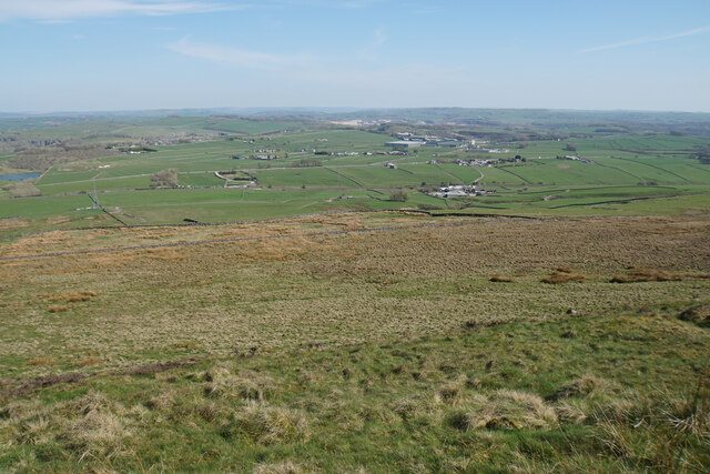
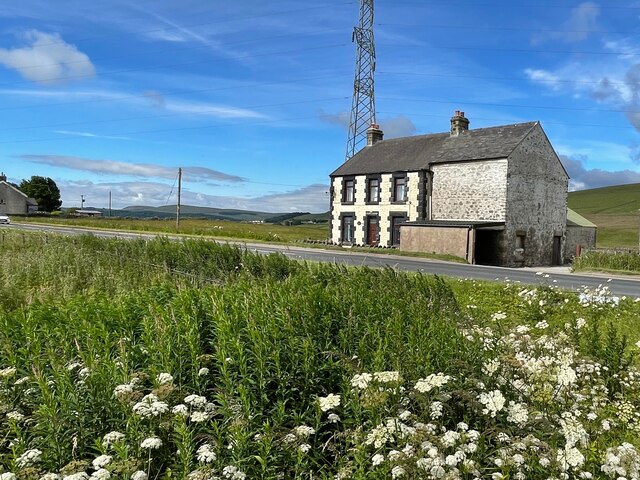
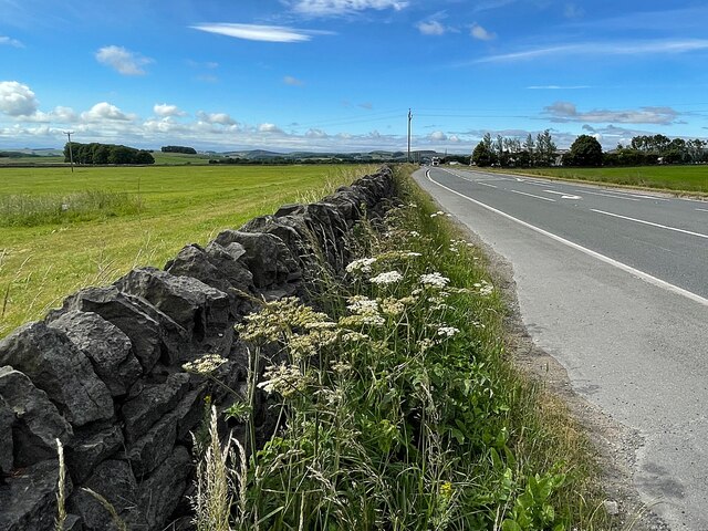
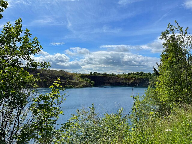
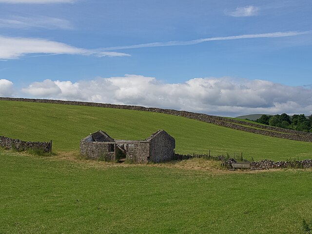
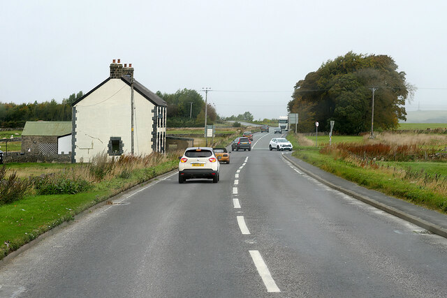
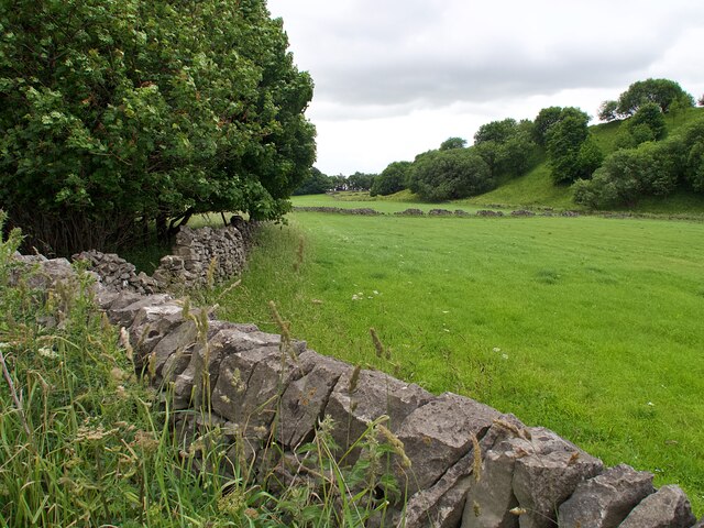
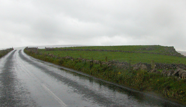
Batham Gate is known for its picturesque countryside, with rolling hills and charming landscapes. The area is dotted with traditional stone cottages, giving it a quaint and idyllic atmosphere. The village is surrounded by farmland, and agriculture plays a significant role in the local economy.
Despite its small size, Batham Gate offers a range of amenities to its residents. There is a local pub, The Gate Inn, which has been serving the community for many years. The pub is known for its warm and friendly atmosphere, and it often hosts community events and gatherings.
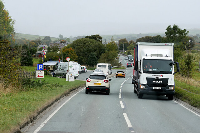
The village is well-connected to the surrounding towns and cities, with regular bus services and good road links. The nearby town of Belper provides additional amenities, including shops, supermarkets, and schools.
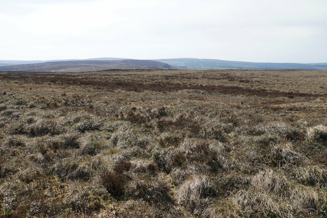
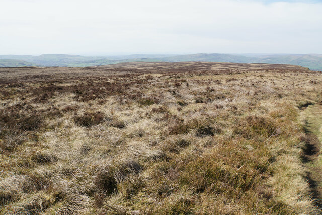
For those seeking outdoor activities, Batham Gate is a great base for exploring the stunning Derbyshire countryside. The nearby Peak District National Park offers a plethora of opportunities for hiking, cycling, and wildlife spotting.
Overall, Batham Gate is a peaceful and charming village, perfect for those looking for a tranquil lifestyle in the heart of the Derbyshire countryside.
If you have any feedback on the listing, please let us know in the comments section below.
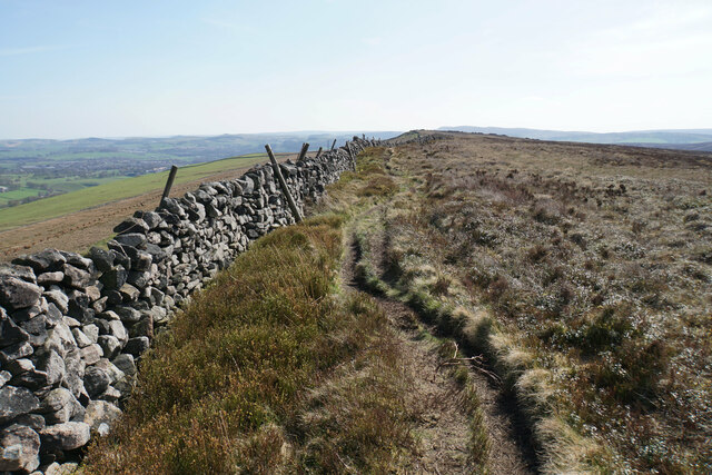
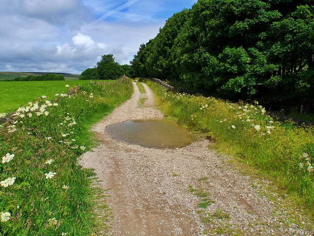
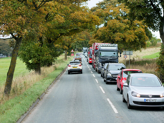
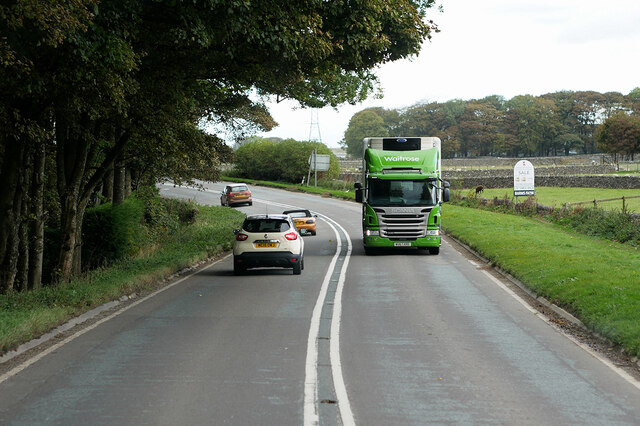
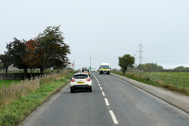
Batham Gate Images
Images are sourced within 2km of 53.281826/-1.8825991 or Grid Reference SK0776. Thanks to Geograph Open Source API. All images are credited.
Batham Gate is located at Grid Ref: SK0776 (Lat: 53.281826, Lng: -1.8825991)
Administrative County: Derbyshire
District: High Peak
Police Authority: Derbyshire
What 3 Words
///scrubber.keepers.infants. Near Dove Holes, Derbyshire
Nearby Locations
Related Wikis
Batham Gate
Batham Gate is the medieval name for a Roman road in Derbyshire, England, which ran south-west from Templebrough on the River Don in South Yorkshire to...

Peak Forest railway station
Peak Forest railway station was opened in 1867 by the Midland Railway on its extension of the Manchester, Buxton, Matlock and Midlands Junction Railway...

Peak Dale
Peak Dale is a small village in Derbyshire, England, 3 miles (4.8 km) northeast of Buxton and 1.3 miles (2.1 km) southeast of Dove Holes. The population...

Black Edge
Black Edge is a summit, 507 metres (1,663 ft) high, on a sharp ridgeline above the village of Dove Holes in the Dark Peak area of the Peak District in...

Dove Holes
Dove Holes is a village in the High Peak district of Derbyshire, England. It has a population of about 1,200 (2001), shown in the 2011 Census as being...
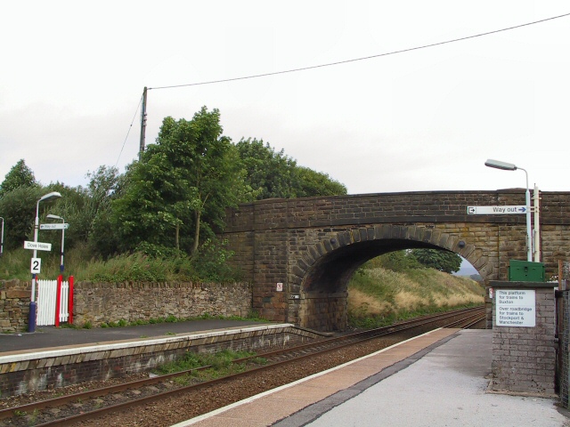
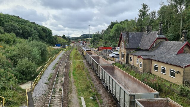
Dove Holes railway station
Dove Holes railway station serves the village of Dove Holes, Derbyshire, England. The station is on the Buxton line between Manchester Piccadilly and Buxton...

The Bull Ring
The Bull Ring is a Class II henge that was built in the late Neolithic period near Dove Holes in Derbyshire, England.It has coordinates 53.300695°N 1.884423...

Buxton and High Peak Golf Club
Buxton and High Peak Golf Club at Fairfield near Buxton in Derbyshire opened in 1887. The course is 5,993 yards (5,480 m) long with a par of 69. It is...
Nearby Amenities
Located within 500m of 53.281826,-1.8825991Have you been to Batham Gate?
Leave your review of Batham Gate below (or comments, questions and feedback).