Barton Blount
Settlement in Derbyshire South Derbyshire
England
Barton Blount

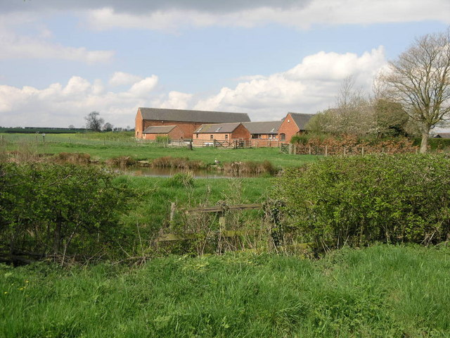
Barton Blount is a small village located in the county of Derbyshire, England. Situated in the East Midlands region, it lies approximately 8 miles south of the city of Derby and 2 miles west of the town of Hatton. The village is nestled in a rural setting, surrounded by picturesque countryside and rolling hills.
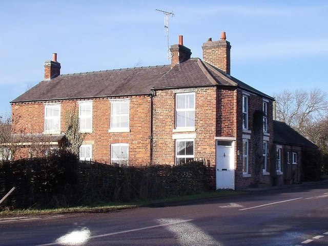
With a population of around 200 residents, Barton Blount maintains a tight-knit and friendly community atmosphere. The village is characterized by its charming cottages and traditional stone houses, giving it a quintessentially English feel. The architecture reflects the village's rich history, with some buildings dating back to the 17th century.
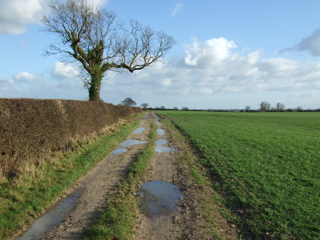
Barton Blount is renowned for its tranquil and idyllic surroundings, making it an attractive destination for nature enthusiasts and those seeking a peaceful retreat. The area offers numerous walking and cycling routes, allowing visitors to explore the stunning Derbyshire countryside.
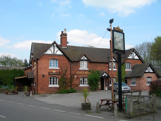
Although small in size, Barton Blount boasts a vibrant community spirit. The village hall serves as a hub for various social activities and events, fostering a sense of togetherness among residents. Additionally, the local pub provides a cozy gathering spot where locals and visitors can enjoy a pint or a hearty meal.
Overall, Barton Blount offers a charming escape from the hustle and bustle of city life. With its picturesque setting, rich history, and welcoming community, it is a hidden gem in the Derbyshire countryside.
If you have any feedback on the listing, please let us know in the comments section below.
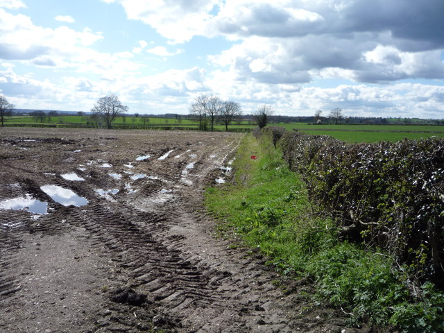
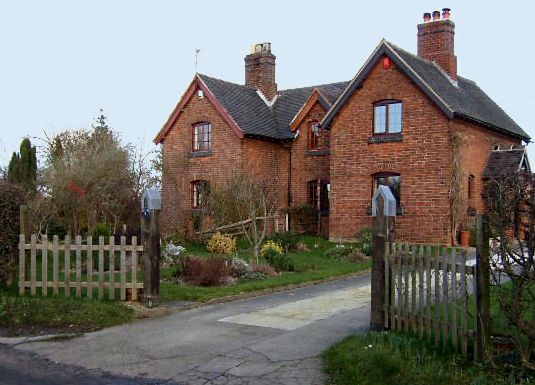
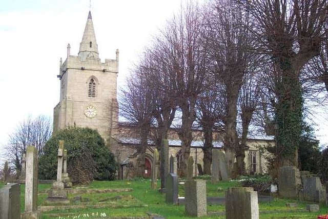
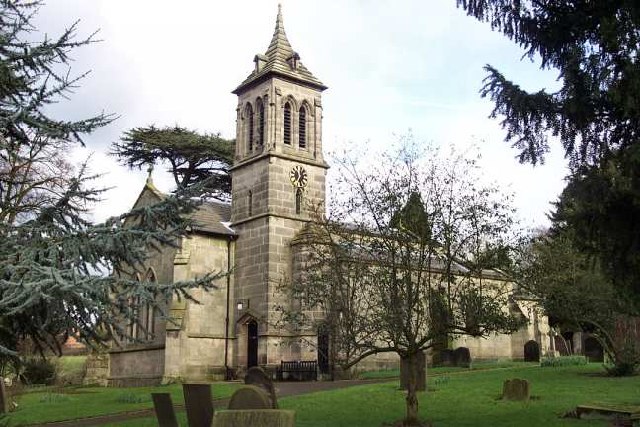
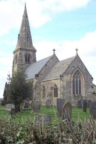
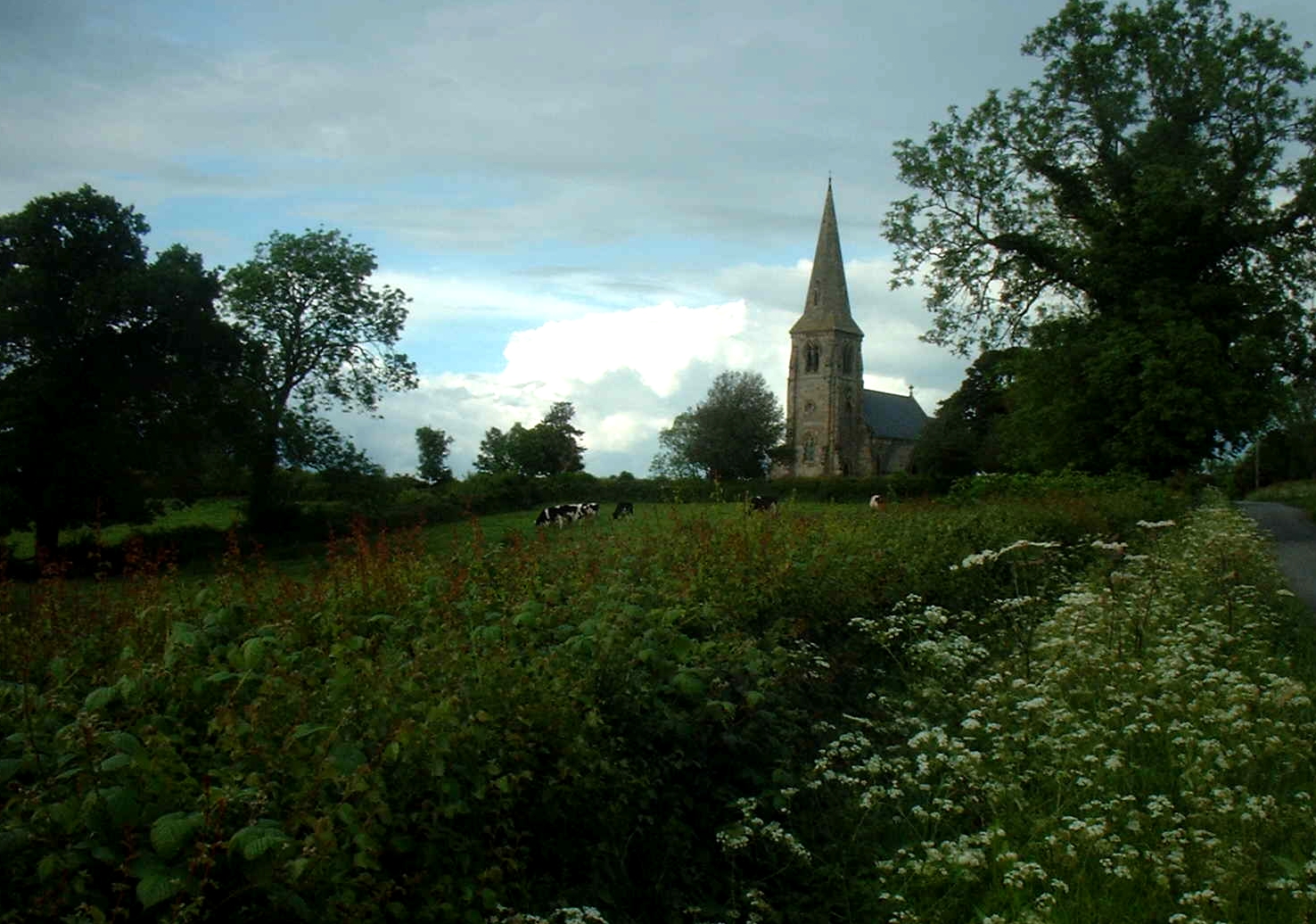
Barton Blount Images
Images are sourced within 2km of 52.909535/-1.6910477 or Grid Reference SK2034. Thanks to Geograph Open Source API. All images are credited.


Barton Blount is located at Grid Ref: SK2034 (Lat: 52.909535, Lng: -1.6910477)
Administrative County: Derbyshire
District: South Derbyshire
Police Authority: Derbyshire
What 3 Words
///lifeguard.qualified.rucksack. Near Etwall, Derbyshire
Nearby Locations
Related Wikis
Barton Blount
Barton Blount is a village and civil parish in the South Derbyshire district of Derbyshire, England, between Derby and Uttoxeter. According to the 2001...
Church Broughton
Church Broughton is a village and civil parish in Derbyshire, 13.7 miles (22.0 km) to the west of Derby. It has a church (Saint Michael and All Angels...

Badway Green
Badway Green is a piece of common land in the parish of Church Broughton in Derbyshire, England. == References ==

St Michael and All Angels' Church, Church Broughton
St Michael and All Angels’ Church, Church Broughton is a Grade I listed parish church in the Church of England in Church Broughton, Derbyshire. == History... ==
St John the Baptist's Church, Boylestone
St John the Baptist's Church, Boylestone is a Grade II* listed parish church in the Church of England in Boylestone, Derbyshire. == History == The church...
St Michael's Church, Sutton-on-the-Hill
St Michael's Church, Sutton-on-the-Hill is a Grade II* listed parish church in the Church of England in Sutton on the Hill, Derbyshire. == History... ==
RAF Church Broughton
Royal Air Force Church Broughton or more simply RAF Church Broughton is a former Royal Air Force satellite airfield located near Church Broughton, Derbyshire...
Sutton on the Hill
Sutton-on-the-Hill is a parish in south Derbyshire eight miles (13 km) west of Derby. The population of the civil parish taken at the 2011 Census was 123...
Nearby Amenities
Located within 500m of 52.909535,-1.6910477Have you been to Barton Blount?
Leave your review of Barton Blount below (or comments, questions and feedback).