Barton

Settlement in Westmorland Eden

England

Barton

Dry stone wall bounding field The wall with its gate bounds a field between the A592 and the River Eamont; it's just south of the Rheged visitor attraction.
Dry stone wall bounding field Credit: Trevor Littlewood

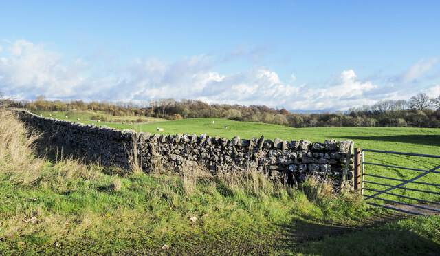
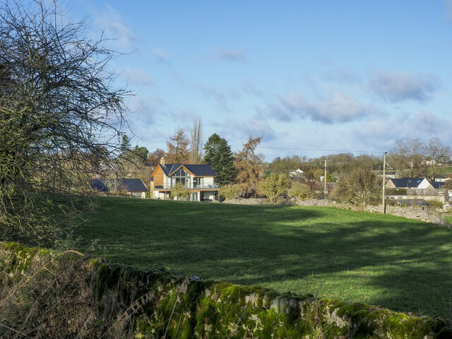
Barton is a small village located in the county of Westmorland, in the northwest region of England. Situated in the picturesque countryside of Cumbria, Barton is nestled within the beautiful landscape of the Lake District National Park. This rural village is known for its tranquility and natural beauty, attracting visitors who seek a peaceful escape from the hustle and bustle of city life.

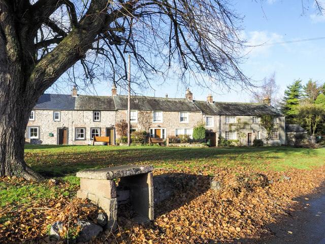
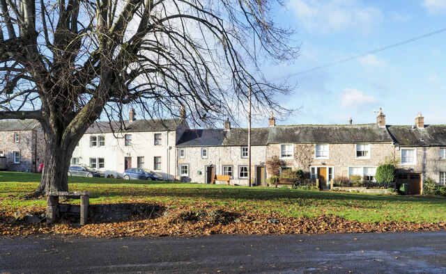
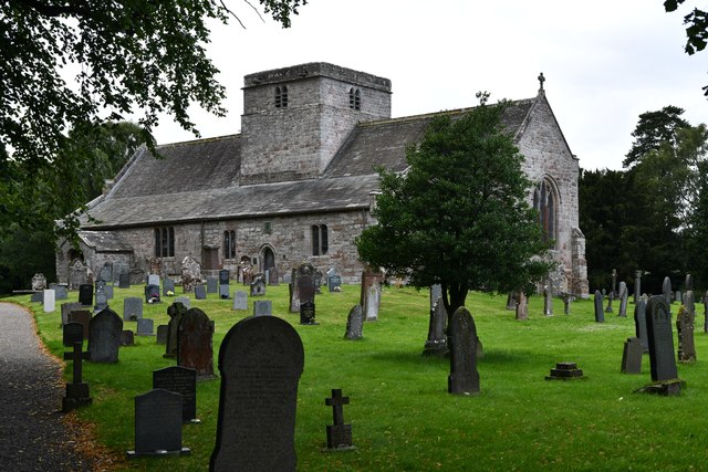
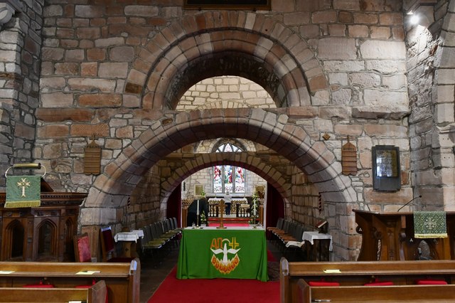
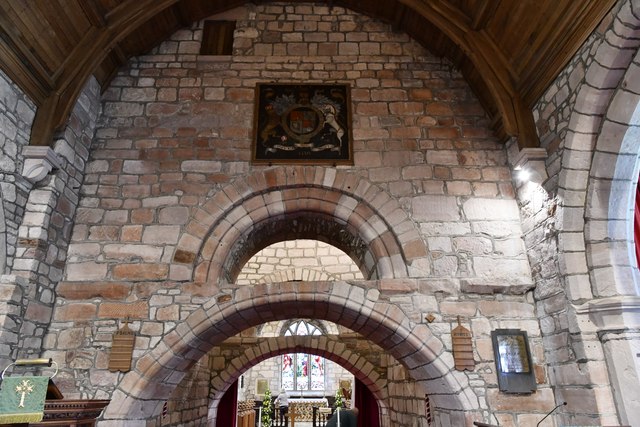
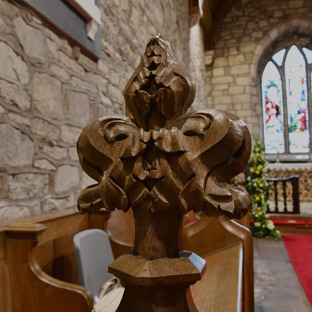
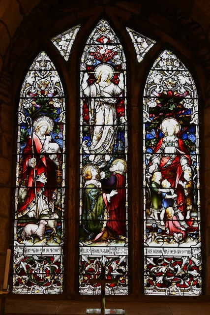
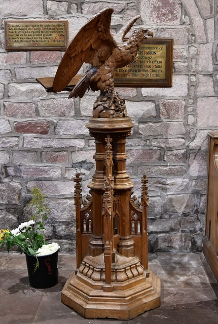
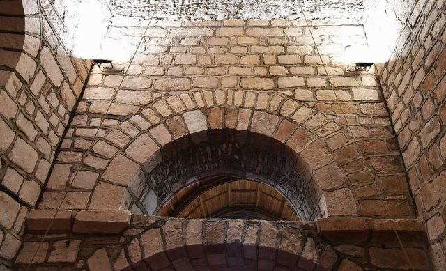
The village of Barton is characterized by its charming traditional cottages, many of which date back several centuries. The local architecture reflects the region's rich history and heritage. The village also features a quaint church, St. Michael's, which stands as a prominent landmark and serves as a gathering place for the community.

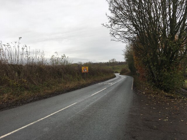
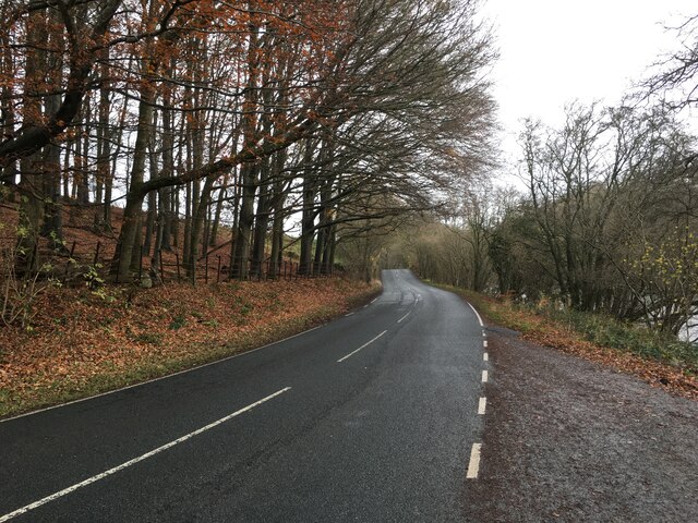
Surrounded by rolling hills and green fields, Barton offers breathtaking views of the majestic Lake District mountains. The village is an ideal base for exploring the nearby natural wonders, including Lake Windermere, England's largest lake, and Scafell Pike, the highest peak in England.

Although Barton is a small village, it offers a range of amenities to cater to both residents and visitors. There are a few local shops and a cozy pub, providing essentials and a warm atmosphere for socializing. The village also hosts events and festivals throughout the year, celebrating the local culture and traditions.

Overall, Barton is a hidden gem in the Westmorland region, offering a peaceful retreat and an opportunity to immerse oneself in the stunning natural beauty of the Lake District.

If you have any feedback on the listing, please let us know in the comments section below.

Barton Images

Images are sourced within 2km of 54.630218/-2.7974989 or Grid Reference NY4826. Thanks to Geograph Open Source API. All images are credited.

Dry stone wall bounding field The wall with its gate bounds a field between the A592 and the River Eamont; it's just south of the Rheged visitor attraction.
Dry stone wall bounding field
The wall with its gate bounds a field between the A592 and the River Eamont; it's just south of the Rheged visitor attraction.
Houses in Stainton over field Homes on the south side of Stainton seen over a field from a minor road south of the village.
Houses in Stainton over field
Homes on the south side of Stainton seen over a field from a minor road south of the village.
Houses across the green Terraced houses in Stainton across the village Green.
Houses across the green
Terraced houses in Stainton across the village Green.
Houses across the green - 2 Terraced houses in Stainton seen across the village green.
Houses across the green - 2
Terraced houses in Stainton seen across the village green.
A592 towards Penrith
Dalemain House Georgian house with some medieval remnants which has remained in the same family for more than three centuries.
Dalemain House
Georgian house with some medieval remnants which has remained in the same family for more than three centuries.
Barton, St. Michael's Church: South Eastern aspect
Barton, St. Michael's Churchyard: Grave of Sergeant J.E. Williams, Flight Engineer
Barton, St. Michael's Church: Stained glass window 1
Barton, St. Michael's Church: The spectacular Norman tower arches
Barton, St. Michael's Church: Poppy head
Barton, St. Michael's Church: Stained glass window 2
Barton, St. Michael's Church: War Memorial
Barton, St. Michael's Church: Eagle lectern
Barton, St. Michael's Church: The spectacular Norman tower arches
Barton, St. Michael's Church: Norman tower window
Show me another place!

Barton is located at Grid Ref: NY4826 (Lat: 54.630218, Lng: -2.7974989)

Administrative County: Cumbria

District: Eden

Police Authority: Cumbria

What 3 Words

///expanded.maddening.shuttling. Near Penrith, Cumbria

Related Wikis

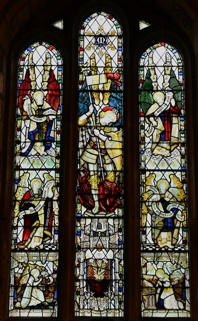
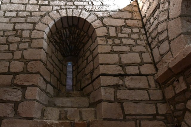
St Michael's Church, Barton

St Michael's Church is in the village of Barton, Cumbria, England. It is an active Anglican parish church in the deanery of Penrith, the archdeaconry...

Barton, Cumbria

Barton is a hamlet in the civil parish of Barton and Pooley Bridge, in Eden District, Cumbria, England. It lies about 3 kilometres (1.9 mi) to the north...

Dacre Beck

Dacre Beck is a small river in Cumbria, England.Dacre Beck rises on the north side of Gowbarrow Fell and flows north past Ulcat Row, picking up streams...
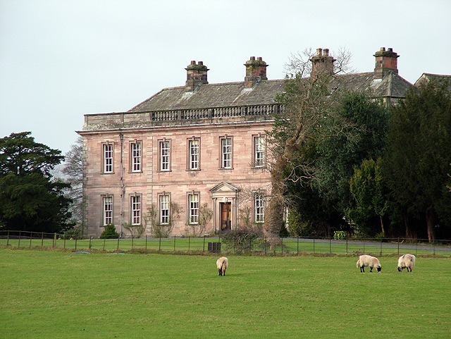
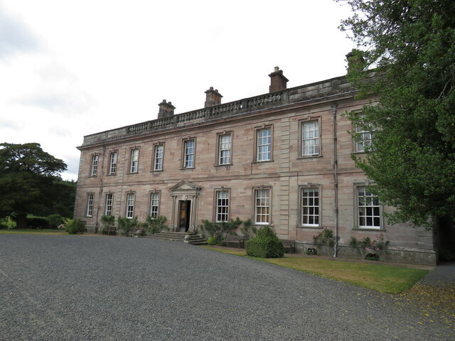
Dalemain

Dalemain is a country house around 5 miles south-west of Penrith in Cumbria, England. It is a Grade I listed building. Dalemain is part of the Lake District...

Stainton, Dacre

Stainton is a village near the A66, in the parish of Dacre, in the Eden district, in the English county of Cumbria. It is a few miles away from the market...

Sockbridge and Tirril

Sockbridge and Tirril is a small civil parish in Eden District, Cumbria. It had a population of 397 in 2001, increasing to 415 at the 2011 Census. It comprises...

Dacre Castle

Dacre Castle is a moated tower house in the village of Dacre, 4 miles (6.4 km) south-west of Penrith, Cumbria, England. It was constructed in the mid-14th...

Pooley Bridge

Pooley Bridge is a village in the Eden District of the northwestern English county of Cumbria, within the traditional borders of Westmorland. The village...

Nearby Amenities

Located within 500m of 54.630218,-2.7974989
Bus Stop
Kirkbarrow Barton Church
Local Ref: AT
Naptan AtcoCode: 090074081409
Naptan Bearing: E
Naptan CommonName: Kirkbarrow Barton Church
Naptan Indicator: at
Naptan Landmark: junction with lane to Barton Church
Naptan NaptanCode: cumdadjm
Naptan Street: B5320
Naptan Verified: no
Source: naptan_import
Lat/Long: 54.6273771/-2.7938273
Barton
Place: hamlet
Lat/Long: 54.6291302/-2.794986
Post Box
Brand: Royal Mail
Brand Wikidata: Q638098
Mapillary: 313919053639243
Operator: Royal Mail
Operator Wikidata: Q638098
Post Box Mounting: pier
Post Box Type: lamp
Ref: CA10 21
Source: survey
Survey Date: 2020-08-03
Lat/Long: 54.6277391/-2.7929029
Barrier: stile
Material: stone
Source: survey;gps
Stile: stepover
Lat/Long: 54.6274569/-2.7933886
Power: pole
Lat/Long: 54.6306813/-2.7972253
Power: pole
Lat/Long: 54.6307835/-2.795662
Power: pole
Lat/Long: 54.6308742/-2.7941659
Power: pole
Lat/Long: 54.630979/-2.7927368
Power: pole
Lat/Long: 54.6298774/-2.7928039
Power: pole
Lat/Long: 54.6301156/-2.7916969
Power: pole
Lat/Long: 54.6303732/-2.7904803
Power: pole
Lat/Long: 54.633146/-2.7926071
Power: pole
Lat/Long: 54.6320793/-2.7926765
Power: pole
Lat/Long: 54.6291938/-2.793618
Power: pole
Lat/Long: 54.6286734/-2.7942106
Power: pole
Lat/Long: 54.6279834/-2.7950403
Power: pole
Lat/Long: 54.6272442/-2.7959148
Power: pole
Lat/Long: 54.6264738/-2.7968294
The data included in this document is from www.openstreetmap.org. The data is made available under ODbL.

Have you been to Barton?

Leave your review of Barton below (or comments, questions and feedback).