Bardsea Green
Settlement in Lancashire South Lakeland
England
Bardsea Green
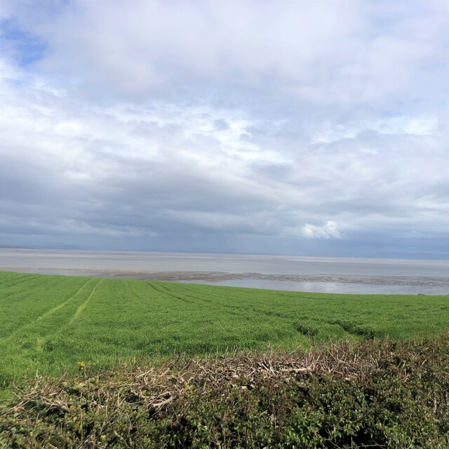
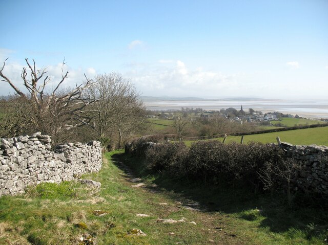
Bardsea Green is a small village located in the county of Lancashire, England. Situated approximately 3 miles east of Ulverston, it is nestled in the Furness Peninsula, offering picturesque views of the Morecambe Bay and the surrounding countryside.
The village is known for its peaceful and rural atmosphere, making it an ideal place for those seeking a tranquil lifestyle away from the hustle and bustle of city living. With a population of around 500 residents, Bardsea Green retains its close-knit community feel, with friendly locals and a strong sense of community spirit.
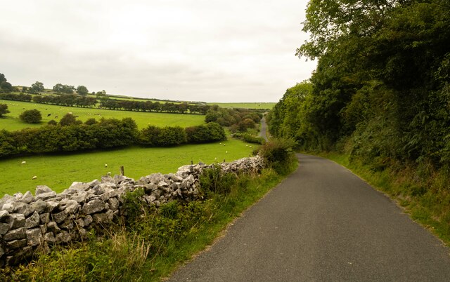
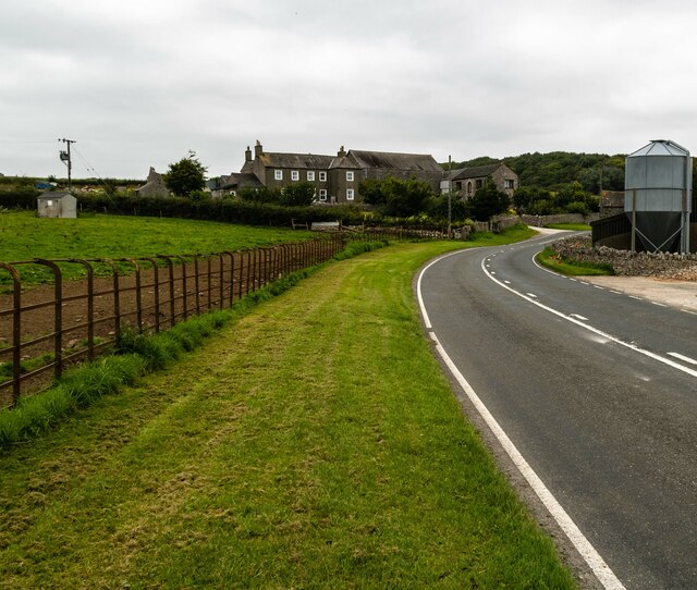
Bardsea Green is home to a number of charming cottages and traditional stone-built houses, giving the village its distinctive character. The area is surrounded by lush green fields and farmland, offering ample opportunities for outdoor activities such as walking, cycling, and exploring nature.
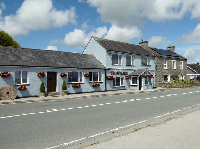
Despite its small size, Bardsea Green boasts a few amenities to cater to the needs of its residents. These include a local pub, a village hall, and a primary school. For more extensive shopping and entertainment options, the nearby town of Ulverston provides a wider range of facilities.
The village's proximity to the Morecambe Bay coast makes it an attractive destination for nature enthusiasts and birdwatchers. Its location also allows for easy access to the Lake District National Park, a popular tourist destination known for its stunning landscapes and outdoor activities.
Overall, Bardsea Green offers a peaceful and idyllic setting for those who appreciate the beauty of the countryside and a close-knit community.
If you have any feedback on the listing, please let us know in the comments section below.
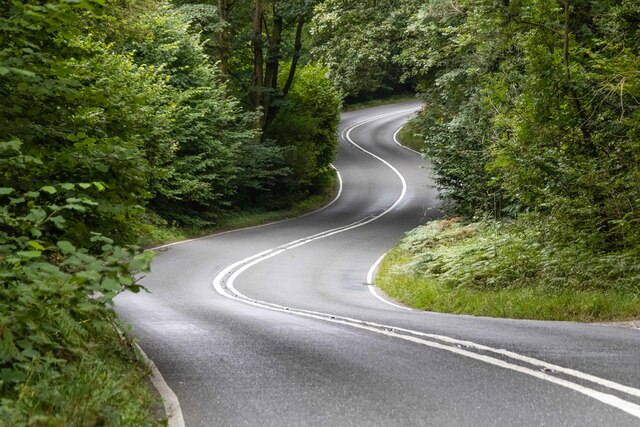
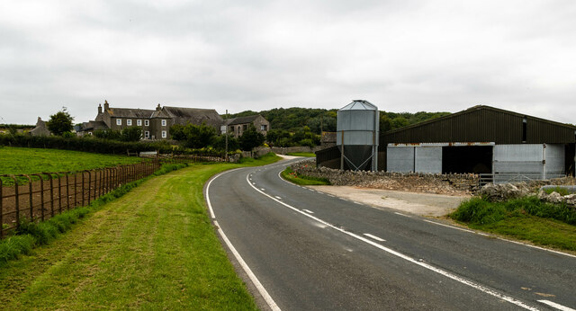
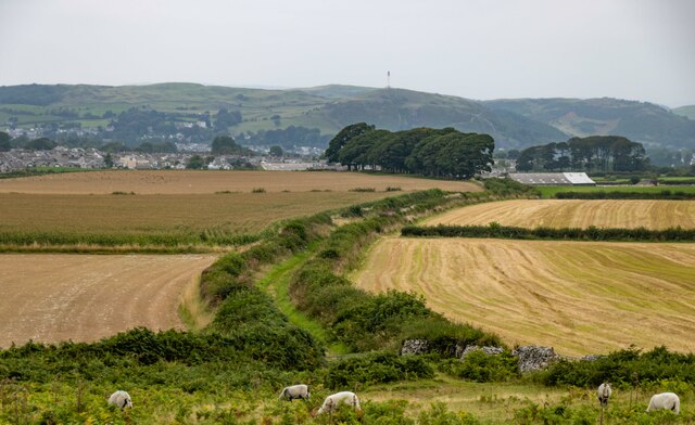
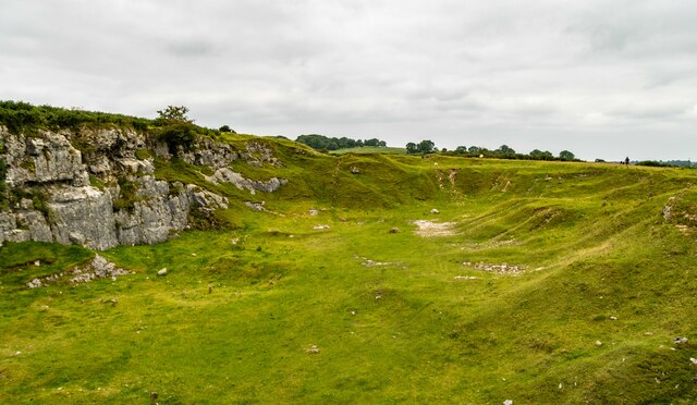
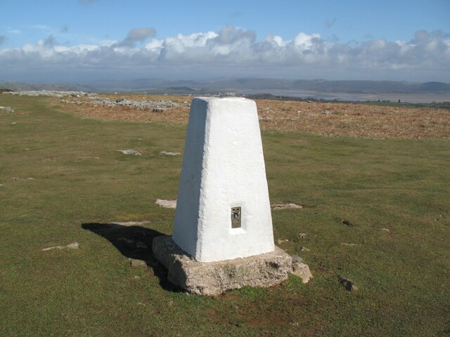
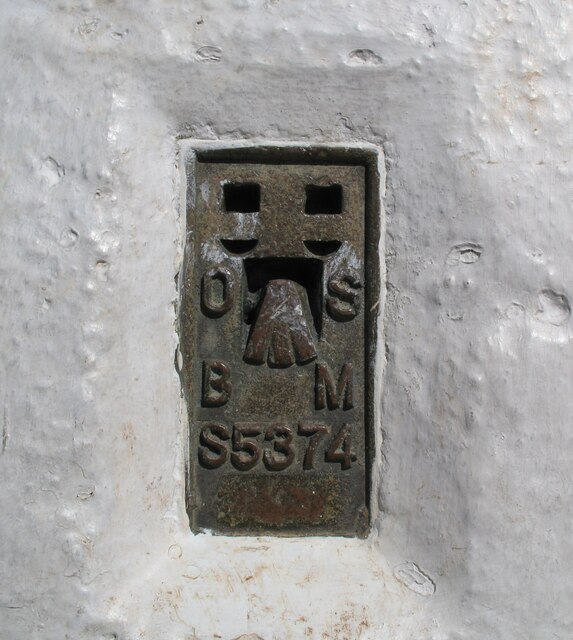
Bardsea Green Images
Images are sourced within 2km of 54.161704/-3.0793425 or Grid Reference SD2974. Thanks to Geograph Open Source API. All images are credited.


Bardsea Green is located at Grid Ref: SD2974 (Lat: 54.161704, Lng: -3.0793425)
Administrative County: Cumbria
District: South Lakeland
Police Authority: Cumbria
What 3 Words
///surcharge.madder.birdcage. Near Swarthmoor, Cumbria
Nearby Locations
Related Wikis
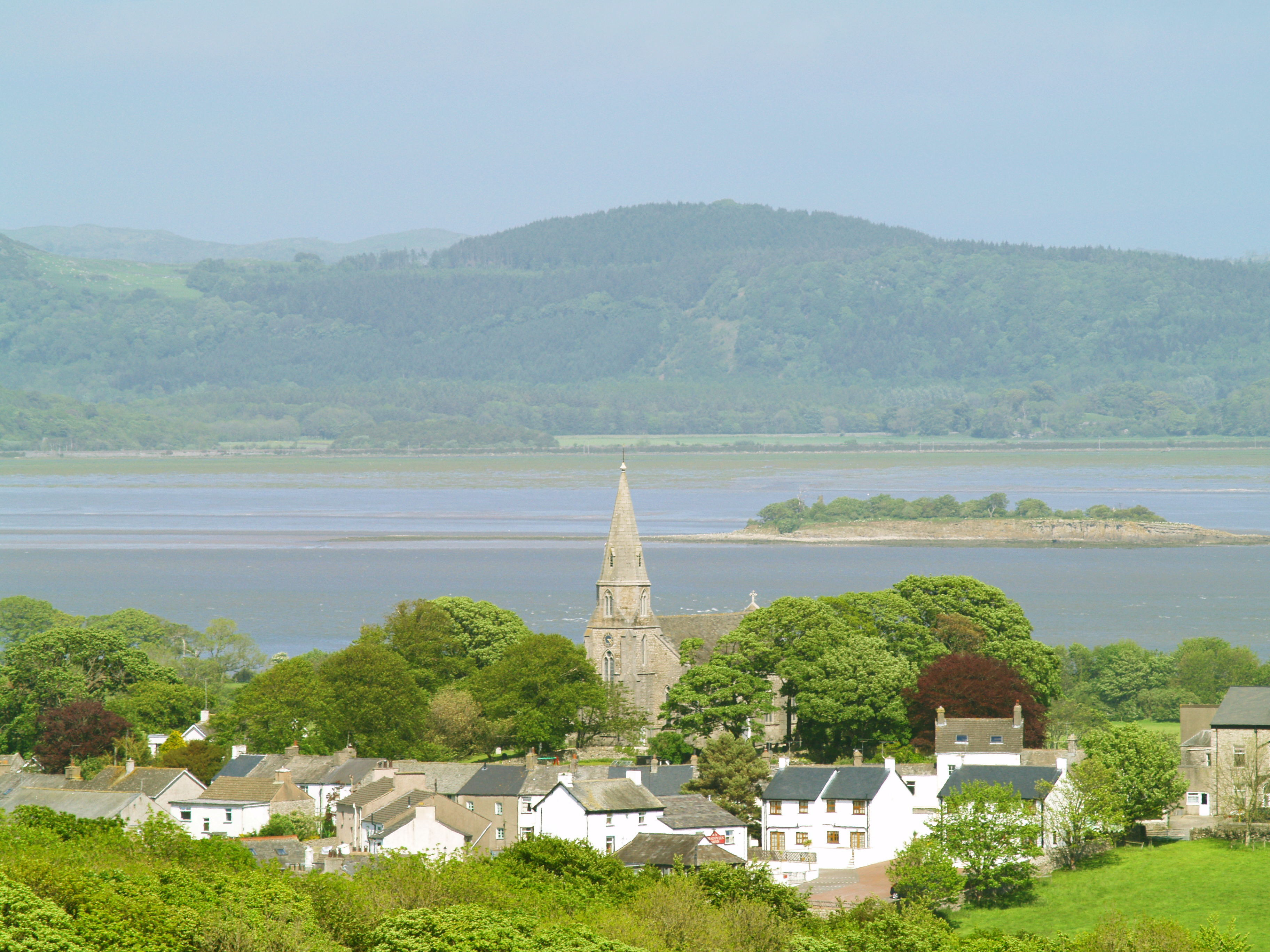
Bardsea
Bardsea is a village in the Low Furness area of Cumbria, England. It is two miles to the south-east of Ulverston on the northern coast of Morecambe Bay...

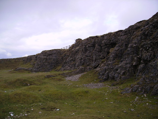
Birkrigg stone circle
The Birkrigg stone circle (also known as the Druid's Temple or Druids' Circle) is a Bronze Age stone circle on Birkrigg Common, two miles south of Ulverston...

Birkrigg
Birkrigg or Birkrigg Common is an open-area of limestone countryside near the town of Ulverston on the Furness Peninsula in southern Cumbria, England....

Conishead Priory
Conishead Priory is a large Gothic Revival building on the Furness peninsula near Ulverston in Cumbria. The priory's name translates literally as "King...

Baycliff
Baycliff is a seaside village in the South Lakeland District of Cumbria in England. Historically in Lancashire, it lies 3 miles (4.8 km) south of Ulverston...

St Mary and St Michael's Church, Great Urswick
St Mary and St Michael's Church is in the village of Great Urswick, Cumbria, England. It is an active Anglican parish church in the deanery of Furness...

Urswick
Urswick is a civil parish that includes the villages of Great Urswick and Little Urswick. It is located in the Furness area of Cumbria, England. The villages...
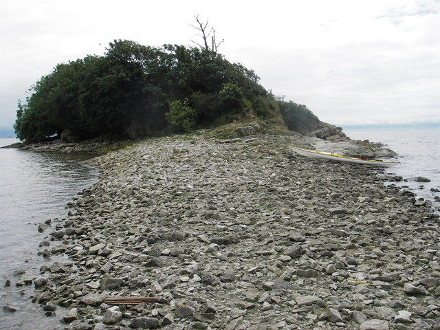
Chapel Island
Chapel Island is a limestone outcrop that lies in the Leven estuary of Morecambe Bay in England, less than one mile (1.6 km) from the shoreline at Bardsea...
Nearby Amenities
Located within 500m of 54.161704,-3.0793425Have you been to Bardsea Green?
Leave your review of Bardsea Green below (or comments, questions and feedback).