Balmae
Settlement in Kirkcudbrightshire
Scotland
Balmae
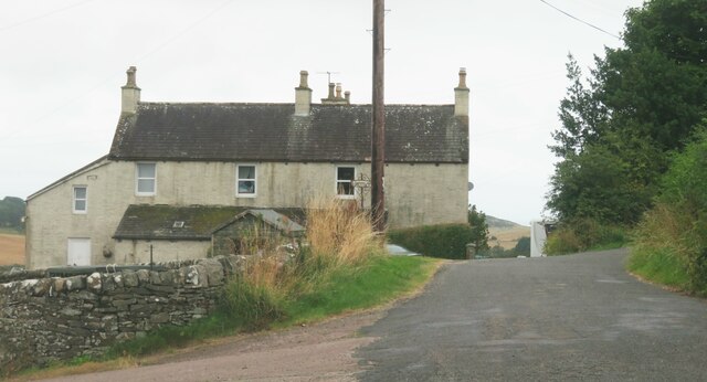
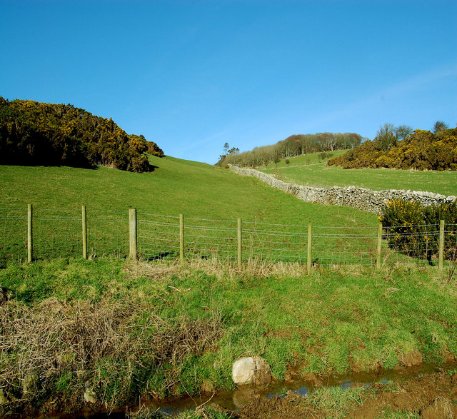
Balmae is a small village located in the historical county of Kirkcudbrightshire, in southwest Scotland. Situated in the beautiful Scottish countryside, Balmae is nestled among rolling green hills and farmland, providing a tranquil setting for its residents and visitors.
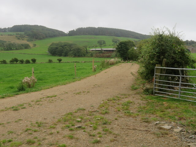
The village is surrounded by natural beauty, with the nearby Balmae Hill offering stunning panoramic views of the surrounding area. The landscape is a mix of meadows, woodlands, and small streams, providing a peaceful and picturesque environment.
Balmae is a close-knit community with a small population, known for its friendly and welcoming atmosphere. The village is primarily residential, with a few local amenities such as a village hall, a small convenience store, and a pub serving traditional Scottish fare.
For outdoor enthusiasts, Balmae offers ample opportunities for activities such as hiking, cycling, and fishing. The nearby River Dee is renowned for its salmon fishing, attracting anglers from all over.
The village is located approximately 5 miles from the town of Castle Douglas, which provides additional amenities and services such as supermarkets, schools, and healthcare facilities. The larger town of Dumfries is around 20 miles away, offering a wider range of amenities and attractions.
In summary, Balmae is a charming village in Kirkcudbrightshire, Scotland, surrounded by stunning natural landscapes. With its peaceful atmosphere and range of outdoor activities, it is an ideal destination for those seeking a tranquil retreat in the Scottish countryside.
If you have any feedback on the listing, please let us know in the comments section below.
Balmae Images
Images are sourced within 2km of 54.783477/-4.046528 or Grid Reference NX6845. Thanks to Geograph Open Source API. All images are credited.
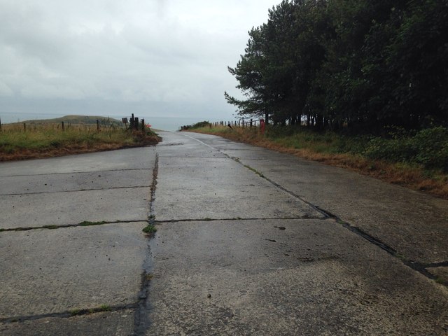
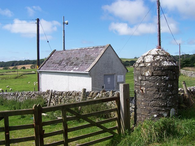
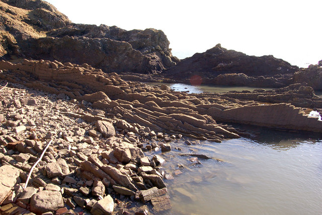
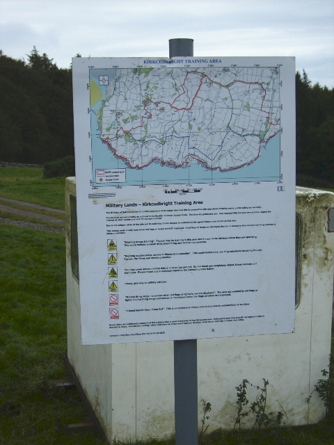
![Edge of the danger area A short stroll down the track from the road [no red flag flying] and one could photograph the track that leads towards the coast near Torrs Point.](https://s2.geograph.org.uk/geophotos/07/26/21/7262118_132c1224.jpg)

Balmae is located at Grid Ref: NX6845 (Lat: 54.783477, Lng: -4.046528)
Unitary Authority: Dumfries and Galloway
Police Authority: Dumfries and Galloway
What 3 Words
///gagging.shopper.captions. Near Kirkcudbright, Dumfries & Galloway
Nearby Locations
Related Wikis

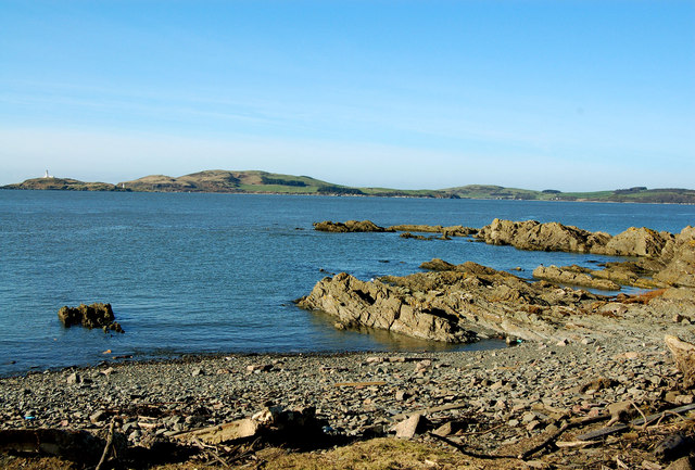
Kirkcudbright Bay
Kirkcudbright Bay is an inlet of the Irish Sea on the coast of Galloway in southwest Scotland. Its coastline falls entirely within the modern administrative...

River Dee, Galloway
The River Dee (Scottish Gaelic: Dè / Uisge Dhè), in south-west Scotland, flows from its source in Loch Dee amongst the Galloway Hills, firstly to Clatteringshaws...

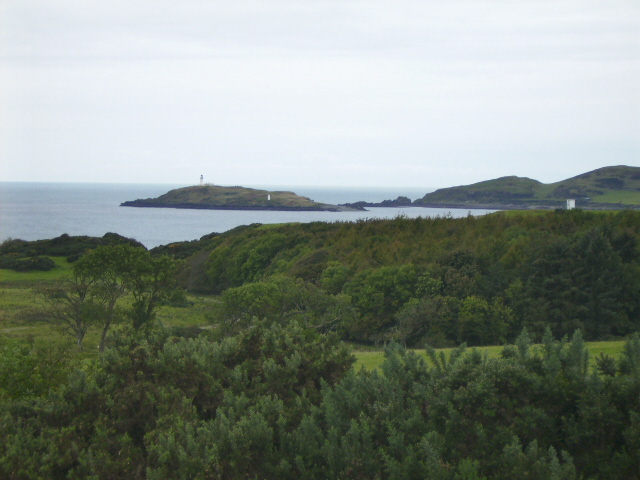
Little Ross
Little Ross is a 29-acre (12-hectare) island with a lighthouse on the Solway Coast south of the town of Kirkcudbright in Galloway, Scotland. It is next...

Dundrennan Range
Dundrennan Range is a weapons testing range on the Solway Firth, near Kirkcudbright in Dumfries and Galloway, in south west Scotland, it is part of the...

High Banks cup and ring markings
The High Banks cup and ring markings are a series of Neolithic or Bronze Age carvings on an outcrop of rock near High Banks farm, 3 km SE of Kirkcudbright...

Kirkcudbright
Kirkcudbright ( kur-KOO-bree; Scots: Kirkcoubrie; Scottish Gaelic: Cille Chùithbeirt) is a town, parish and a Royal Burgh from 1455 in Kirkcudbrightshire...
St Cuthbert Wanderers F.C.
Saint Cuthbert Wanderers Football Club are a football club from the town of Kirkcudbright in the Stewartry in Galloway, Scotland. They play in the South...

Kirkcudbright Hospital
Kirkcudbright Hospital is a health facility in Barrhill Road, Kirkcudbright, Dumfries and Galloway, Scotland. It is managed by NHS Dumfries and Galloway...
Nearby Amenities
Located within 500m of 54.783477,-4.046528Have you been to Balmae?
Leave your review of Balmae below (or comments, questions and feedback).