Balmeanach

Settlement in Inverness-shire

Scotland

Balmeanach

River Hinnisdal Looking downstream from Hinnisdal Bridge on the A87.
River Hinnisdal Credit: David Dixon

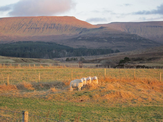
Balmeanach is a small hamlet located in the stunning region of Inverness-shire, Scotland. Situated amidst the picturesque Scottish Highlands, this tranquil village is nestled within a landscape of rolling hills, lush greenery, and enchanting forests.

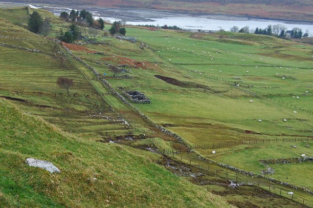
The hamlet of Balmeanach is renowned for its unspoiled natural beauty and is a haven for outdoor enthusiasts. The area offers a myriad of opportunities for hiking, walking, and cycling, with numerous trails and paths that cater to all levels of fitness and experience. Visitors can explore the nearby mountains and take in breathtaking views of the surrounding countryside, including the iconic Loch Ness.

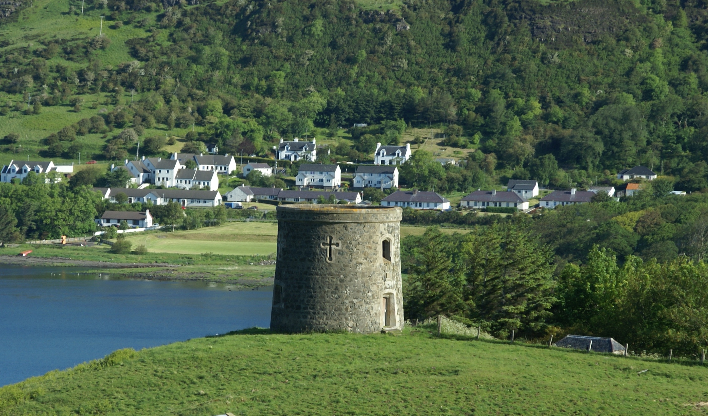
The village itself is characterized by its charming traditional Scottish architecture, with quaint cottages and stone buildings dotting the landscape. The local community is warm and friendly, welcoming visitors with open arms. There are limited amenities in Balmeanach, but nearby towns offer a wider range of services, including shops, restaurants, and accommodations.

For those seeking a truly authentic Scottish experience, Balmeanach offers a glimpse into the country's rich cultural heritage. Traditional Scottish music can often be heard in local pubs, and visitors can partake in Highland games and festivals that celebrate the area's history and traditions.

In summary, Balmeanach is a hidden gem in the heart of Inverness-shire, offering a serene and idyllic escape from the hustle and bustle of modern life. With its breathtaking natural beauty and rich cultural heritage, it is a destination that should not be missed by those seeking an authentic Scottish experience.

If you have any feedback on the listing, please let us know in the comments section below.

Balmeanach Images

Images are sourced within 2km of 57.539784/-6.327121 or Grid Reference NG4158. Thanks to Geograph Open Source API. All images are credited.

River Hinnisdal Looking downstream from Hinnisdal Bridge on the A87.
River Hinnisdal
Looking downstream from Hinnisdal Bridge on the A87.
A87 The A87 runs 99 miles from Invergarry to Uig on the Isle of Skye <a href="https://www.geograph.org.uk/photo/7374675">NG3863 : End of the A87, Uig</a>.
<span class="nowrap"><a title="https://www.sabre-roads.org.uk/wiki/index.php?title=A87" rel="nofollow ugc noopener" href="https://www.sabre-roads.org.uk/wiki/index.php?title=A87">Link</a><img style="margin-left:2px;" alt="External link" title="External link - shift click to open in new window" src="https://s1.geograph.org.uk/img/external.png" width="10" height="10"/></span>
A87
The A87 runs 99 miles from Invergarry to Uig on the Isle of Skye NG3863 : End of the A87, Uig. LinkExternal link
A87, approaching Hinnisdal Bridge The A87 runs 99 miles from Invergarry to Uig on the Isle of Skye <a href="https://www.geograph.org.uk/photo/7374675">NG3863 : End of the A87, Uig</a>.
<span class="nowrap"><a title="https://www.sabre-roads.org.uk/wiki/index.php?title=A87" rel="nofollow ugc noopener" href="https://www.sabre-roads.org.uk/wiki/index.php?title=A87">Link</a><img style="margin-left:2px;" alt="External link" title="External link - shift click to open in new window" src="https://s1.geograph.org.uk/img/external.png" width="10" height="10"/></span>
A87, approaching Hinnisdal Bridge
The A87 runs 99 miles from Invergarry to Uig on the Isle of Skye NG3863 : End of the A87, Uig. LinkExternal link
Rough grazing near Hinnisdal Bridge in Trotternish
A87 at Hinnisdal Bridge Looking northbound across the River Hinnisdal bridge.
A87 at Hinnisdal Bridge
Looking northbound across the River Hinnisdal bridge.
A87 passing Kingsburgh Community Woodland
The River Hinnisdal With, I presume, one of the supports for the bridge on the old road.
The River Hinnisdal
With, I presume, one of the supports for the bridge on the old road.
The paddlers On the Glen Hinnisdal road in Skye
The paddlers
On the Glen Hinnisdal road in Skye
Ducks crossing the road A wet afternoon in Glen Hinnisdal
Ducks crossing the road
A wet afternoon in Glen Hinnisdal
River Hinnisdal Looking downstream.
River Hinnisdal
Looking downstream.
Glen Hinnisdal The road is a dead end, but serves a number of residential properties in the glen.
Glen Hinnisdal
The road is a dead end, but serves a number of residential properties in the glen.
Glen Hinnisdal Lit by the low winter sun, the wide valley is home to a number of cattle, sheep and a scattered population of people.
Glen Hinnisdal
Lit by the low winter sun, the wide valley is home to a number of cattle, sheep and a scattered population of people.
Polybales at Peinlich Other than someone being busy with a baling machine, the scene is little changed from 2011, when John Allan took his image - <a href="https://www.geograph.org.uk/photo/2312902">NG4158 : Modern house at Peinlich</a>.
Polybales at Peinlich
Other than someone being busy with a baling machine, the scene is little changed from 2011, when John Allan took his image - NG4158 : Modern house at Peinlich.
Say 'cheese' Four Glen Hinnisdal sheep line up to have their photo taken as afternoon winter sunshine lights the Trotternish Ridge beyond the glen.
Say 'cheese'
Four Glen Hinnisdal sheep line up to have their photo taken as afternoon winter sunshine lights the Trotternish Ridge beyond the glen.
Sunset from Glen Hinnisdal A winter afternoon view along the Glen Hinnisdal road, looking towards the main road.
Sunset from Glen Hinnisdal
A winter afternoon view along the Glen Hinnisdal road, looking towards the main road.
Modern house in Peinlich Sitting high above the road in Glen Hinnisdal, this one-and-a-half storey white house is typical of early 21st century design on Skye. It stands amongst the ruins of abandoned 19th century homes.
Modern house in Peinlich
Sitting high above the road in Glen Hinnisdal, this one-and-a-half storey white house is typical of early 21st century design on Skye. It stands amongst the ruins of abandoned 19th century homes.
Glenuachdarach houses A pair of close neighbours near the end of the public road in Glen Hinnisdal.
Glenuachdarach houses
A pair of close neighbours near the end of the public road in Glen Hinnisdal.
Log pile in Glen Hinnisdal The forest track here is approaching its crossing point by a ford through the River Hinnisdal.
The background hills are Flasvein and Creag a' Lain.
Log pile in Glen Hinnisdal
The forest track here is approaching its crossing point by a ford through the River Hinnisdal. The background hills are Flasvein and Creag a' Lain.
Show me another place!

Balmeanach is located at Grid Ref: NG4158 (Lat: 57.539784, Lng: -6.327121)

Unitary Authority: Highland

Police Authority: Highlands and Islands

What 3 Words

///ounce.flitting.green. Near Uig, Highland

Related Wikis

Peinlich

Peinlich (Scottish Gaelic: Peighinn an Lighiche) is a hamlet on the Isle of Skye in Scotland. Its main claim to fame is that its name is German for "embarrassing...

Snizort

Snizort is an area of the Isle of Skye comprising the head of Loch Snizort and the western coast of Trotternish up to Uig, which is the largest settlement...

Kingsburgh, Skye

Kingsburgh (Gaelic: Cinnseaborgh) is a scattered crofting township, overlooking Loch Snizort Beag on the Trotternish peninsula of the Isle of Skye in...

Uig Tower

The Uig Tower, also known as Captain Fraser's Folly, is a nineteenth century folly located in Uig on the island of Skye in the Highlands of Scotland. It...

Snizort Free Church

The Snizort Free Church, is a place of worship of the Free Church of Scotland (Continuing) in the township of Skeabost in Snizort on the island of Skye...

Uig, Snizort

Uig (Scottish Gaelic: Ùige [ˈuːkʲə]) is a village at the head of Uig Bay on the west coast of the Trotternish peninsula on the Isle of Skye, Scotland....

Eyre, Skye

Eyre (Scottish Gaelic: Eighre) is a settlement on the eastern shore of Loch Snizort Beag on the northern coast of Skye in Scotland.The two Eyre standing...

Hebridean Light Railway Company

The Hebridean Light Railway Company proposed to operate on the Scottish islands of Skye and Lewis. The Skye line was to have connected the port of Isleornsay...

Nearby Amenities

Located within 500m of 57.539784,-6.327121
Garybuie b&b
Addr City: Portree
Addr Housename: Skye, Glenhinnisdal,
Addr Postcode: IV51 9UX
Name En: Garybuie b&b
Tourism: guest_house
Website: http://www.skyetime.org.uk/
Lat/Long: 57.5403154/-6.3259177
Peinlich
Addr City: Portree
Addr Postcode: IV51 9UX
Name Gd: Peighinn an Lighiche
Place: hamlet
Wikidata: Q15265826
Wikipedia: en:Peinlich
Lat/Long: 57.5429177/-6.3214873
Balmeanach
Name Gd: Am Baile Meadhanach
Place: hamlet
Lat/Long: 57.5402308/-6.3270514
The data included in this document is from www.openstreetmap.org. The data is made available under ODbL.

Have you been to Balmeanach?

Leave your review of Balmeanach below (or comments, questions and feedback).