Bailey Lane End
Settlement in Gloucestershire
England
Bailey Lane End
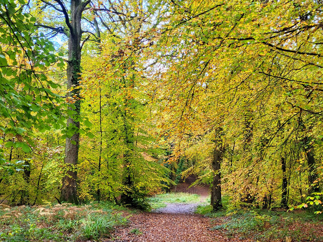
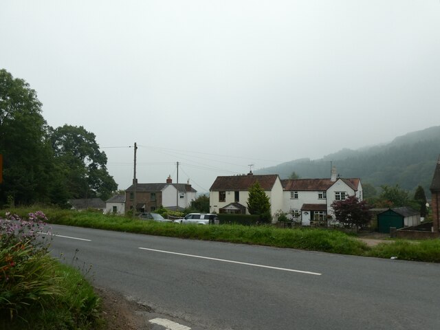
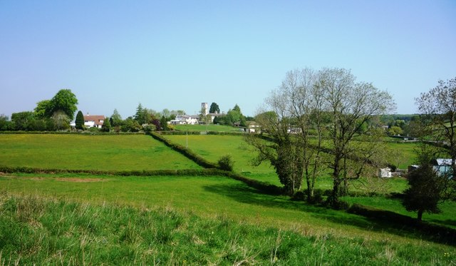
Bailey Lane End is a small village located in the county of Gloucestershire, England. Situated in the picturesque Cotswolds region, it is surrounded by rolling hills and lush green countryside. The village is nestled in a quiet and peaceful setting, offering residents and visitors a tranquil retreat from the hustle and bustle of city life.
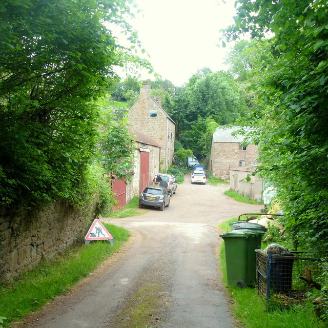
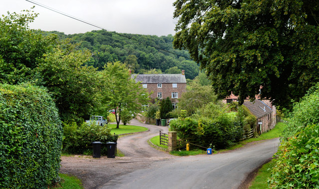
The community of Bailey Lane End is made up of a handful of houses, forming a close-knit neighborhood. The architecture in the village is predominantly traditional, with charming stone cottages and thatched roofs, adding to its idyllic charm.
Though small in size, Bailey Lane End boasts a strong sense of community. The village has a village hall, which serves as a hub for various social events and gatherings. It offers residents a space to connect and engage with one another, fostering a friendly and welcoming atmosphere.
The surrounding countryside provides ample opportunities for outdoor activities and recreation. There are several scenic walking trails that wind through the fields and woodlands, allowing visitors to explore the natural beauty of the area. Additionally, the village is in close proximity to the Cotswold Way, a popular long-distance footpath that stretches for 102 miles, attracting hikers and nature enthusiasts from far and wide.
Despite its rural location, Bailey Lane End is conveniently situated near larger towns and cities. Cheltenham, known for its Regency architecture and vibrant cultural scene, is just a short drive away, offering residents access to a wider range of amenities and services.
Overall, Bailey Lane End is a charming and peaceful village, providing residents with a close-knit community and easy access to the stunning Cotswolds countryside.
If you have any feedback on the listing, please let us know in the comments section below.
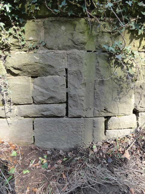
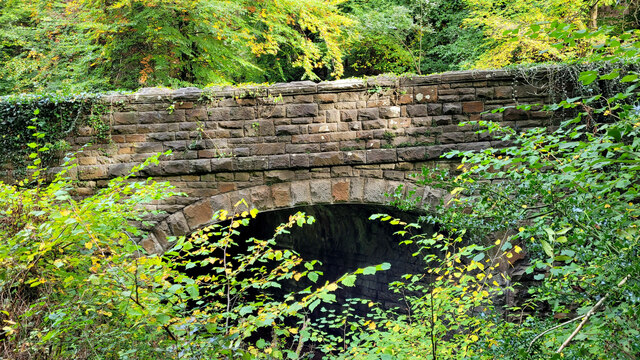
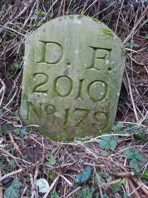
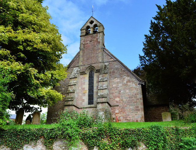
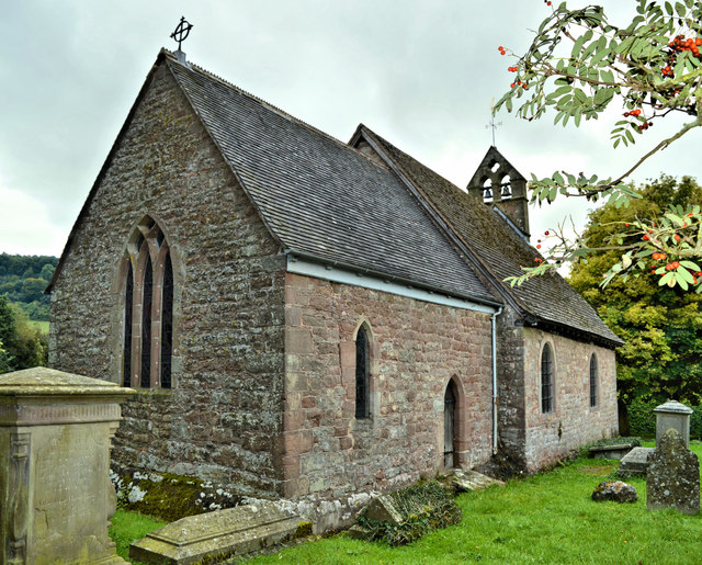
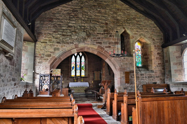
Bailey Lane End Images
Images are sourced within 2km of 51.87628/-2.5208314 or Grid Reference SO6419. Thanks to Geograph Open Source API. All images are credited.


Bailey Lane End is located at Grid Ref: SO6419 (Lat: 51.87628, Lng: -2.5208314)
Unitary Authority: County of Herefordshire
Police Authority: West Merica
What 3 Words
///painting.taller.sprawls. Near Drybrook, Gloucestershire
Nearby Locations
Related Wikis
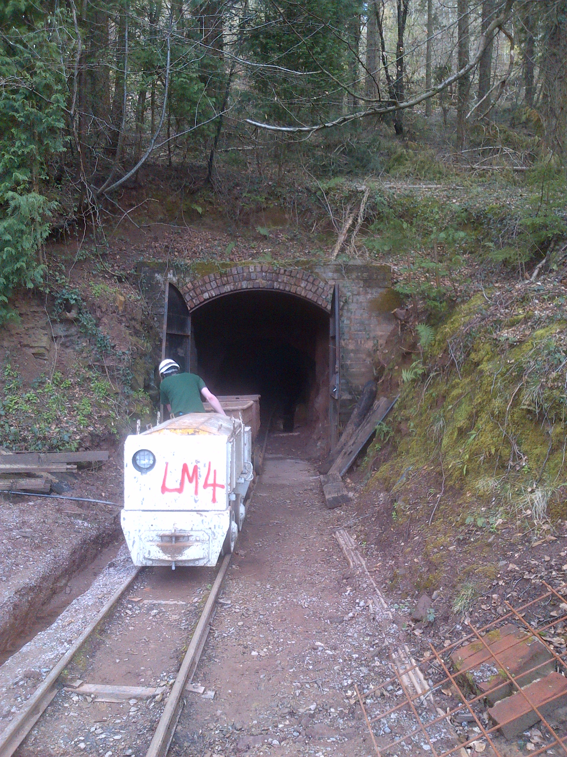
Lea Bailey Light Railway
The Lea Bailey Light Railway is a 2 ft (610 mm) narrow-gauge heritage railway in the United Kingdom. It is built on the site of the Bailey Level Gold Mine...
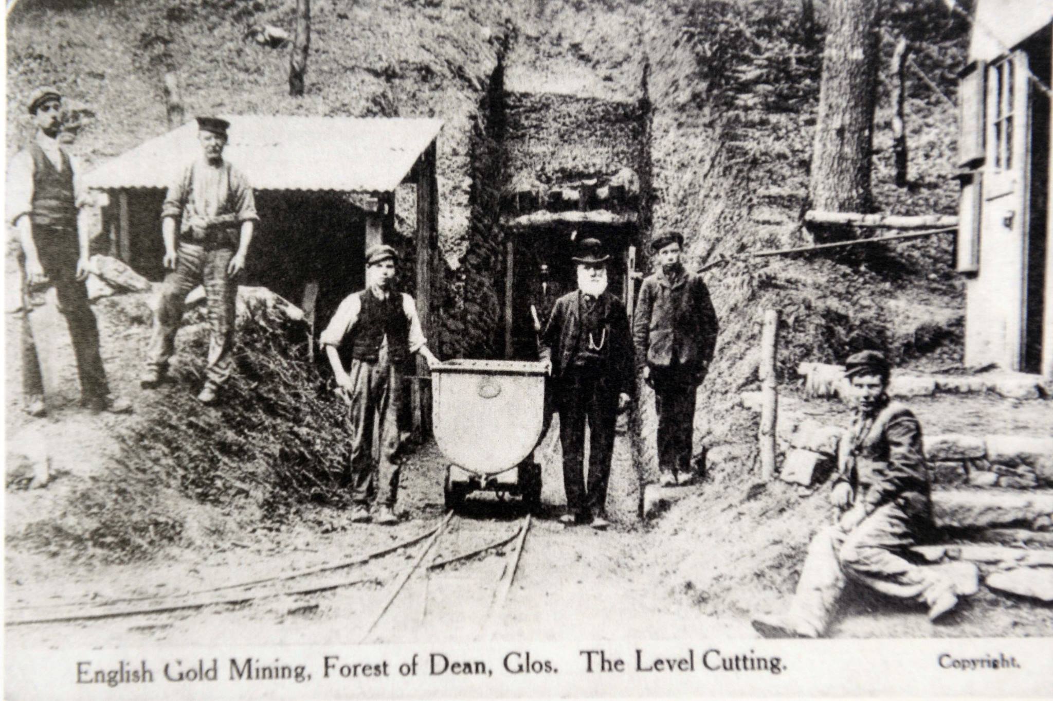
Bailey Level Gold Mine
Bailey Level is a former gold mine and iron mine in the Forest of Dean, England. The mine and surface features are currently managed by volunteer members...
Wigpool
Wigpool (grid reference SO652196) is a 7.5-hectare (19-acre) nature reserve in Gloucestershire in the Forest of Dean, England.The site is managed jointly...

Wigpool Ironstone Mine
Wigpool Ironstone Mine (grid reference SO654197) is a 34.88-hectare (86.2-acre) biological Site of Special Scientific Interest in Gloucestershire, notified...

Puddlebrook Quarry
Puddlebrook Quarry (grid reference SO646183) is a 0.7-hectare (1.7-acre) geological Site of Special Scientific Interest in Gloucestershire, near Drybrook...

Hope Mansell
Hope Mansell is a village and civil parish in Herefordshire, England. In 2011 the civil parish had a population of 259. Hope Mansell is mentioned in the...
Mitcheldean Meend Marsh
Mitcheldean Meend Marsh (grid reference SO647180) is a 0.7-hectare (1.7-acre) nature reserve in Gloucestershire in the Forest of Dean. The site is listed...
Scully Grove Quarry
Scully Grove Quarry (grid reference SO657186) is a 0.4-hectare (0.99-acre) geological Site of Special Scientific Interest in Gloucestershire, England,...
Nearby Amenities
Located within 500m of 51.87628,-2.5208314Have you been to Bailey Lane End?
Leave your review of Bailey Lane End below (or comments, questions and feedback).