Bafford
Settlement in Gloucestershire Cheltenham
England
Bafford
Bafford is a small village located in the county of Gloucestershire, England. Situated in the picturesque Cotswold region, the village is nestled amidst rolling hills and lush green fields, offering residents and visitors a charming countryside experience. Bafford is situated approximately 10 miles southwest of the city of Gloucester and is easily accessible by road.
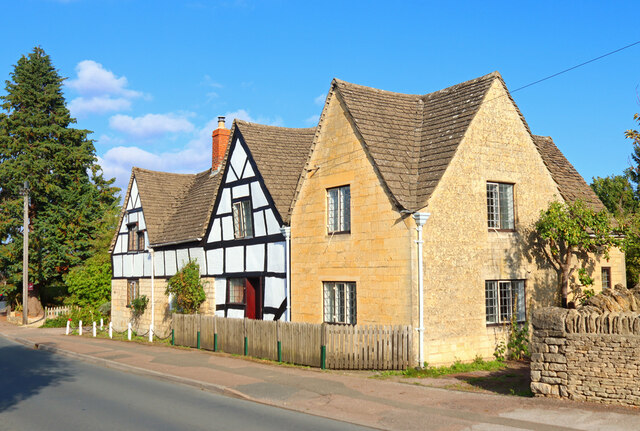
The village has a rich history, dating back to medieval times. It is home to several well-preserved historic buildings, including a 14th-century church and a number of traditional cottages, which add to its character and charm. Bafford's architecture reflects the traditional Cotswold style, characterized by honey-colored limestone walls and thatched roofs.
Despite its small size, Bafford boasts a strong sense of community. The village has a local pub, The Bafford Arms, which serves as a social hub for residents and visitors alike. The pub offers a cozy atmosphere and traditional British fare.
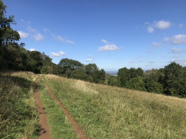
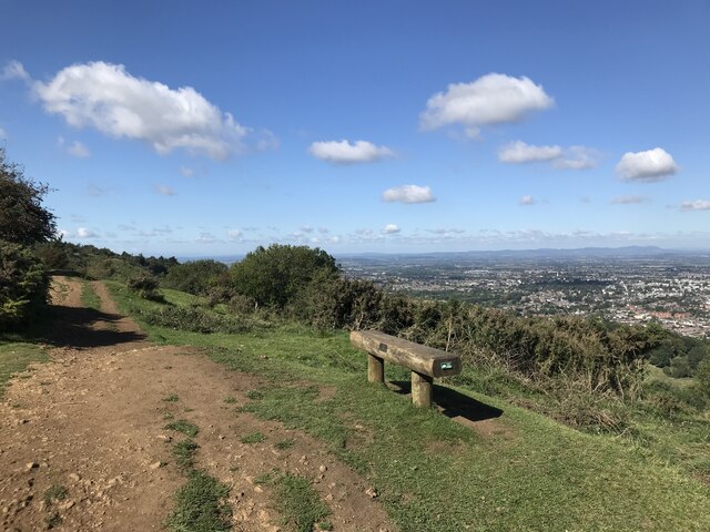
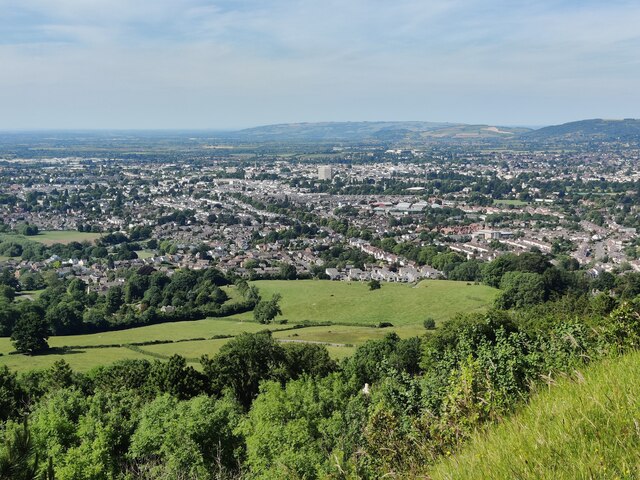
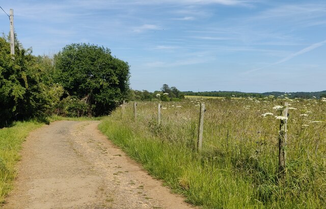
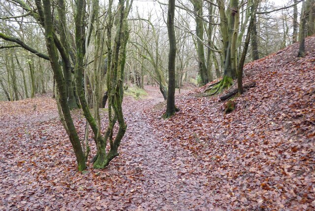
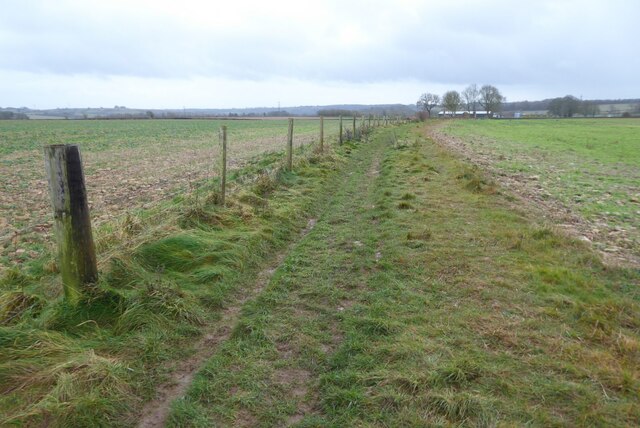
Nature enthusiasts will appreciate Bafford's proximity to the Cotswold Area of Outstanding Natural Beauty. The village is surrounded by picturesque walking trails, offering stunning views of the countryside. Additionally, the nearby River Severn provides opportunities for fishing and boating.
Although Bafford may be considered a quiet village, it benefits from its close proximity to larger towns and cities. Gloucester, with its range of amenities and historical attractions, is easily accessible for shopping and entertainment.
Overall, Bafford is a delightful village that offers a peaceful and scenic place to live or visit, with its rich history, community spirit, and access to the beautiful Cotswold countryside.
If you have any feedback on the listing, please let us know in the comments section below.
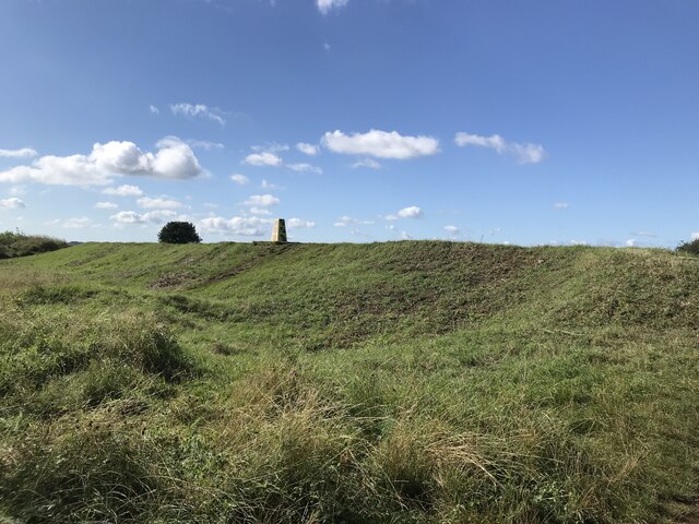
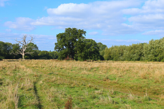
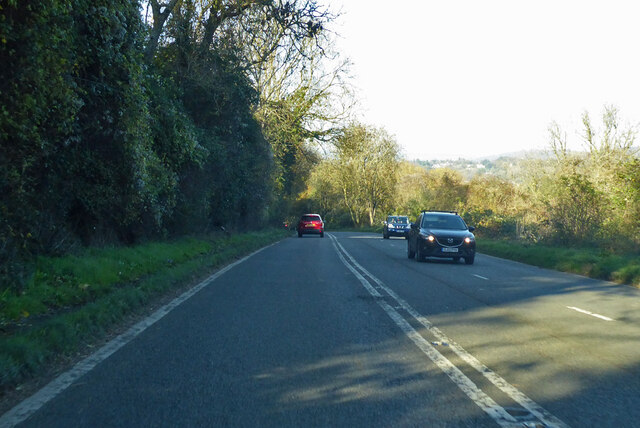
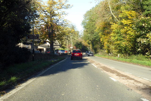
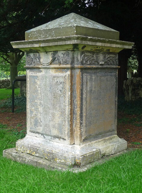
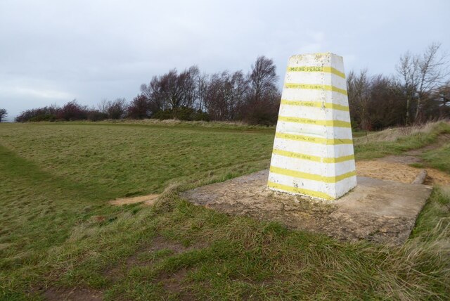
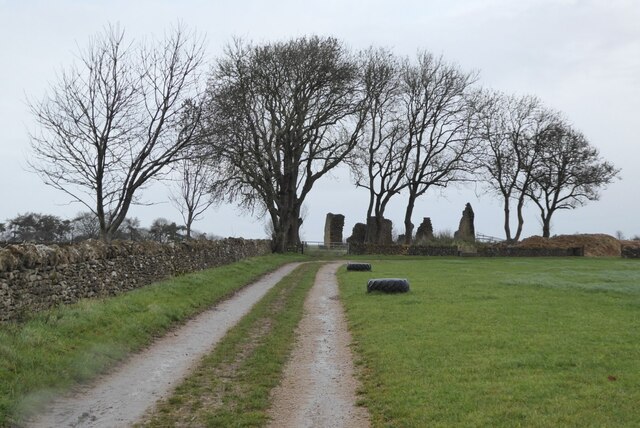
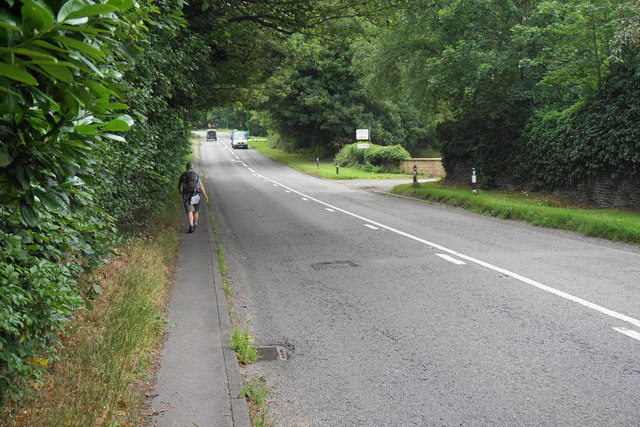
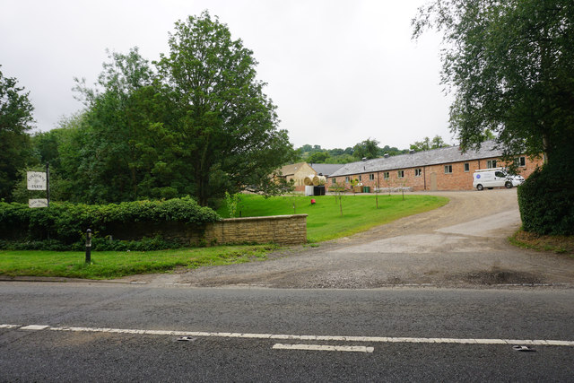
Bafford Images
Images are sourced within 2km of 51.877509/-2.0577251 or Grid Reference SO9619. Thanks to Geograph Open Source API. All images are credited.

Bafford is located at Grid Ref: SO9619 (Lat: 51.877509, Lng: -2.0577251)
Administrative County: Gloucestershire
District: Cheltenham
Police Authority: Gloucestershire
What 3 Words
///palace.branch.zoom. Near Charlton Kings, Gloucestershire
Nearby Locations
Related Wikis

Charlton Kings railway station
Charlton Kings railway station was a small station in Gloucestershire serving the village of Charlton Kings and the southern outskirts of Cheltenham Spa...

DoubleTree by Hilton Cheltenham
DoubleTree by Hilton Cheltenham (earlier known as Cheltenham Park Hotel), Charlton Kings, is a Regency building of historical significance. It was previously...

Battledown
Battledown is a private residential estate in Cheltenham, Gloucestershire, England. In the 19th century a number of such private estates were established...

St Edward's School, Cheltenham
St Edward's School is an independent co-educational Roman Catholic school in Cheltenham, Gloucestershire, England. The majority of pupils come to the...

Balcarras School
Balcarras School is an academy school for 11- to 18-year-olds, located in Charlton Kings, Cheltenham, Gloucestershire, England. Since 2016, the school...
Croquet Association
The Croquet Association, which was formed as the United All England Croquet Association in 1897, is the national governing body for the sport of croquet...

East Gloucestershire Cricket Club Ground
East Gloucestershire Cricket Club Ground was a cricket ground in Cheltenham, Gloucestershire. The first recorded match on the ground was in 1883, when...
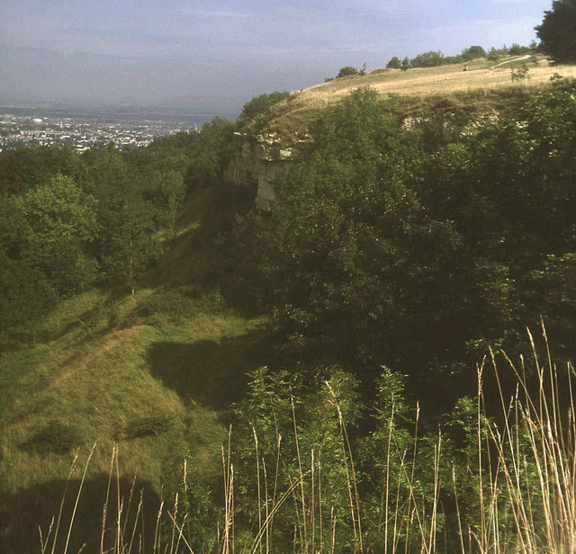
Leckhampton Hill and Charlton Kings Common
Leckhampton Hill and Charlton Kings Common (grid reference SO952187) is a 63.8-hectare (158-acre) biological and geological Site of Special Scientific...
Nearby Amenities
Located within 500m of 51.877509,-2.0577251Have you been to Bafford?
Leave your review of Bafford below (or comments, questions and feedback).